St Denys
Settlement in Hampshire
England
St Denys
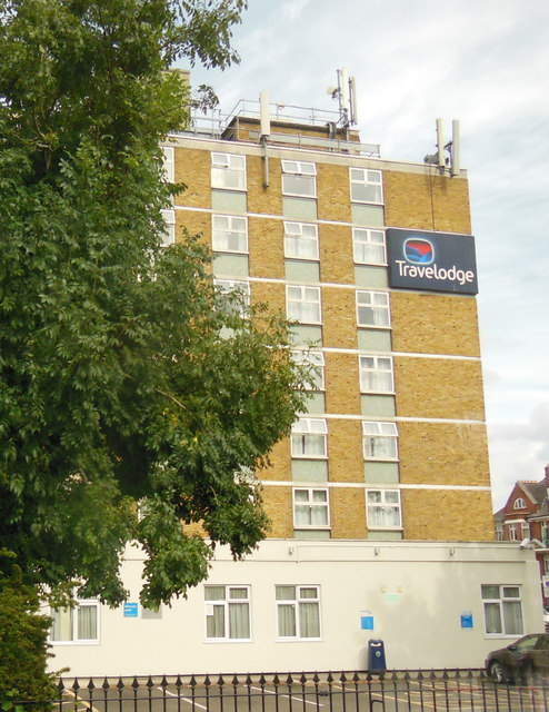
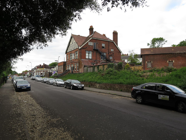
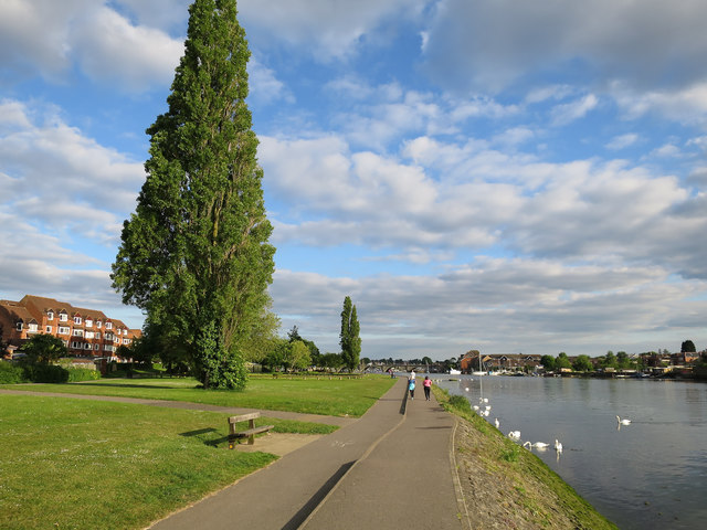
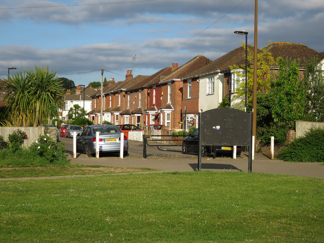
St. Denys is a small suburban area located in the city of Southampton, Hampshire, England. Situated on the eastern bank of the River Itchen, it is a predominantly residential neighborhood known for its peaceful surroundings and close-knit community.
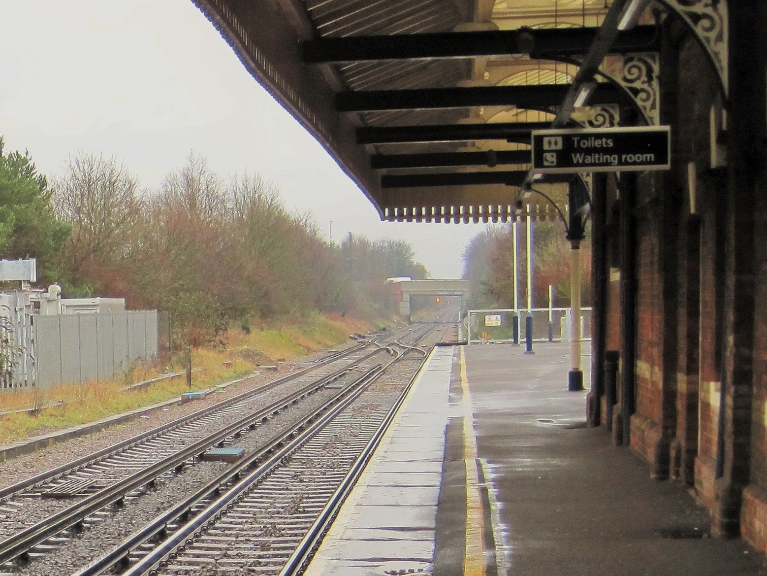
The area is well connected, with St. Denys railway station serving as a major transportation hub, offering regular train services to Southampton Central and various other destinations. This makes it an ideal location for commuters working in Southampton or London.
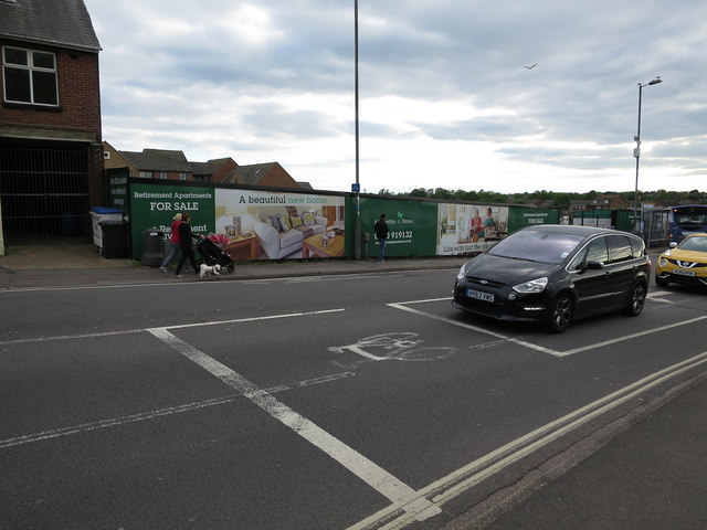
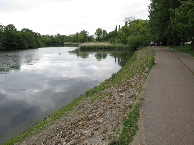
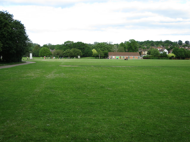
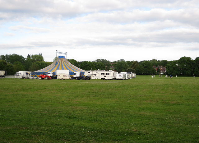
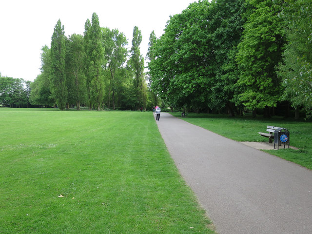
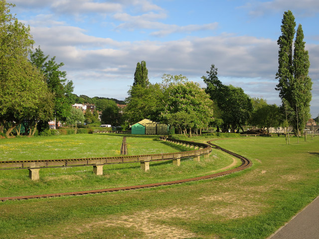
St. Denys benefits from a range of local amenities, including shops, cafes, and restaurants, providing residents with convenient access to everyday essentials and leisure activities. The area is also home to several parks and green spaces, such as St. Denys Churchyard and Riverside Park, offering opportunities for outdoor recreation and relaxation.
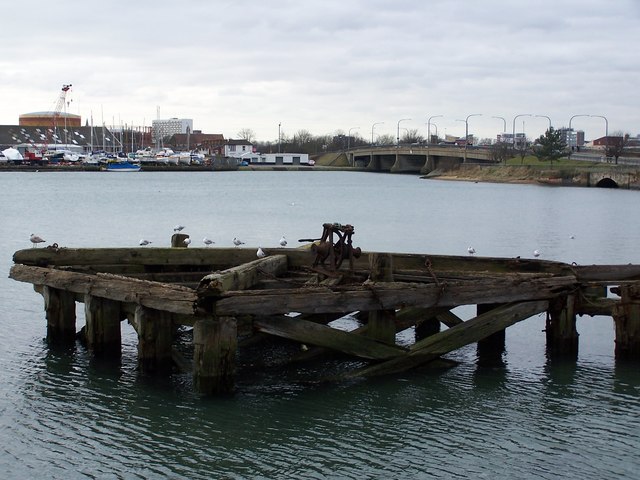
Historically, St. Denys played a significant role in Southampton's industrial heritage, with the Itchen Navigation Canal passing through the area. Today, remnants of this canal can still be seen, providing a glimpse into the area's past.
The housing in St. Denys consists of a mix of Victorian and Edwardian terraced houses, along with some modern developments. The neighborhood has a friendly and welcoming atmosphere, attracting families, professionals, and retirees alike.
Overall, St. Denys offers a desirable residential location with its convenient transport links, local amenities, and charming character, making it an attractive place to live in Hampshire.
If you have any feedback on the listing, please let us know in the comments section below.
St Denys Images
Images are sourced within 2km of 50.922687/-1.385213 or Grid Reference SU4313. Thanks to Geograph Open Source API. All images are credited.


St Denys is located at Grid Ref: SU4313 (Lat: 50.922687, Lng: -1.385213)
Unitary Authority: Southampton
Police Authority: Hampshire
What 3 Words
///nail.gallons.beast. Near Southampton, Hampshire
Nearby Locations
Related Wikis
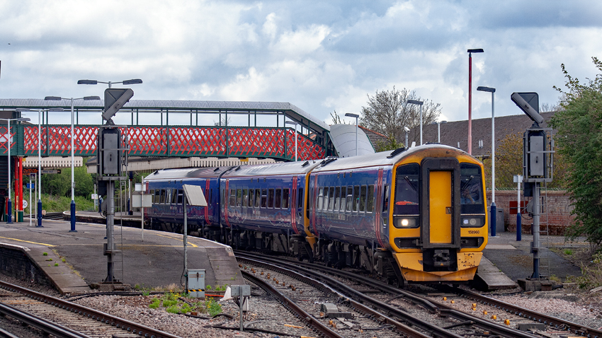
St Denys railway station
St Denys railway station serves the St Denys and Portswood suburbs of Southampton in Hampshire, England. It is 77 miles 10 chains (124.1 km) down the line...
Portswood railway station
Portswood railway station served the suburb of Portswood, Hampshire, England from 1861 to 1866 on the South West Main Line. == History == The station opened...

St Denys
St Denys is a partially riverside district of Southampton, England, centred 1.5 miles (2.4 km) north north-east of the city centre facing variously Bitterne...
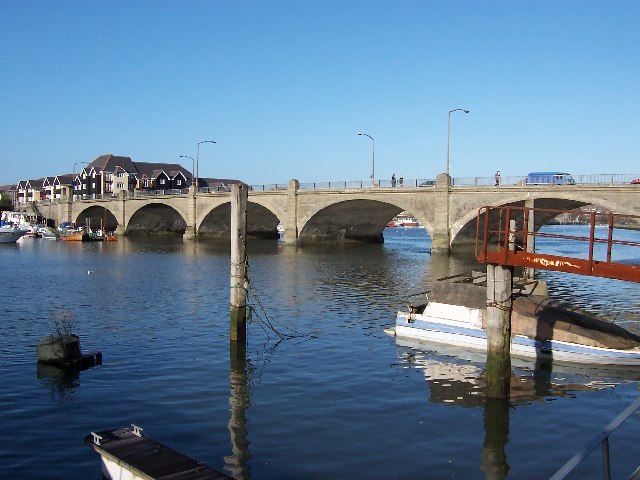
Cobden Bridge
Cobden Bridge is a major road bridge in Southampton, UK. It crosses the River Itchen joining the suburbs of St Denys and Bitterne Park. It forms part of...
Nearby Amenities
Located within 500m of 50.922687,-1.385213Have you been to St Denys?
Leave your review of St Denys below (or comments, questions and feedback).