St Decumans
Settlement in Somerset Somerset West and Taunton
England
St Decumans

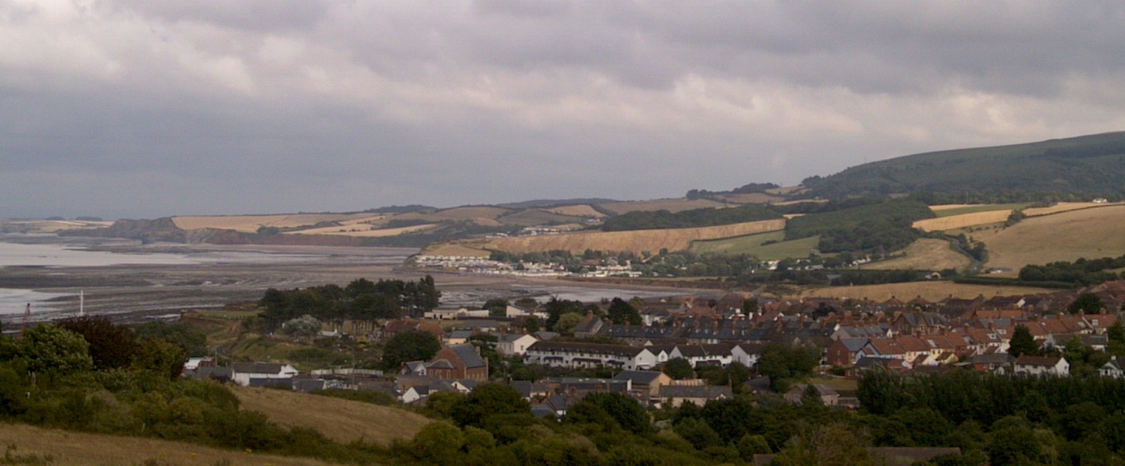
St Decumans is a small village located in the county of Somerset, England. Situated approximately 3 miles west of the town of Watchet, it lies within the district of West Somerset. Named after the 8th-century Welsh saint Decuman, the village is steeped in rich history and boasts a charming rural setting.
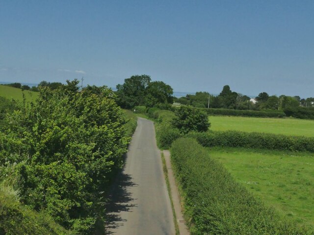
The village is home to a close-knit community and offers a tranquil environment for its residents. It is predominantly residential, with a scattering of traditional stone cottages and farmhouses dotting the landscape. The village is surrounded by picturesque countryside, with rolling hills, green fields, and meandering streams.
St Decumans is known for its historic church, St. Decuman's Church, which dates back to the 13th century. The church is a fine example of medieval architecture and attracts visitors interested in its historical significance. Additionally, the village is in close proximity to the Quantock Hills, designated an Area of Outstanding Natural Beauty, making it a popular destination for outdoor enthusiasts.
Although small in size, St Decumans offers basic amenities, including a village hall, a primary school, and a local pub. For further amenities, residents can easily access the nearby town of Watchet, which offers a wider range of shops, restaurants, and services.
Overall, St Decumans is a picturesque village that combines a rich historical heritage with a peaceful rural setting, making it an idyllic place to live or visit for those seeking a slower pace of life and a connection with nature.
If you have any feedback on the listing, please let us know in the comments section below.
St Decumans Images
Images are sourced within 2km of 51.175852/-3.335385 or Grid Reference ST0642. Thanks to Geograph Open Source API. All images are credited.


St Decumans is located at Grid Ref: ST0642 (Lat: 51.175852, Lng: -3.335385)
Administrative County: Somerset
District: Somerset West and Taunton
Police Authority: Avon and Somerset
What 3 Words
///recruiter.resurgent.amuse. Near Watchet, Somerset
Nearby Locations
Related Wikis

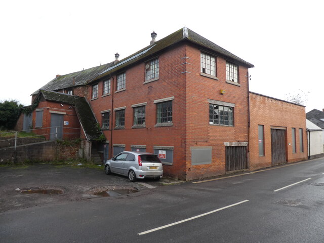
Wansbrough Paper Mill
Wansbrough Paper Mill was a paper mill located in the town of Watchet, Somerset, when it was the UK's largest manufacturer of coreboard. == History... ==
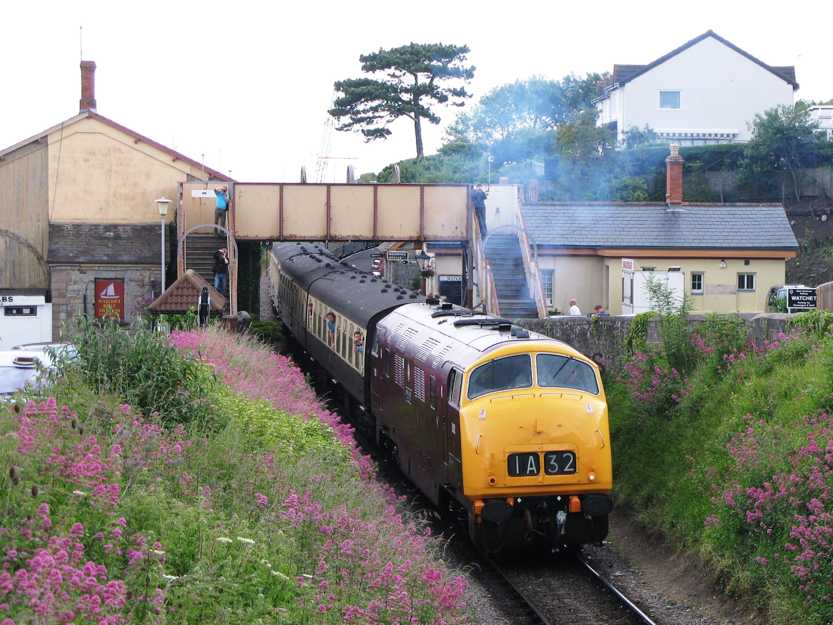
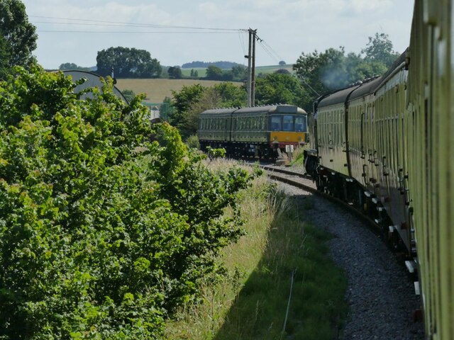
Watchet railway station
Watchet railway station is a station on the West Somerset Railway, a heritage railway in Somerset, England. It is situated in the small harbour town of...
Watchet (WSMR) railway station
Watchet was the northern passenger terminus of the West Somerset Mineral Railway (WSMR), which was built primarily to carry iron ore from mines to Watchet...
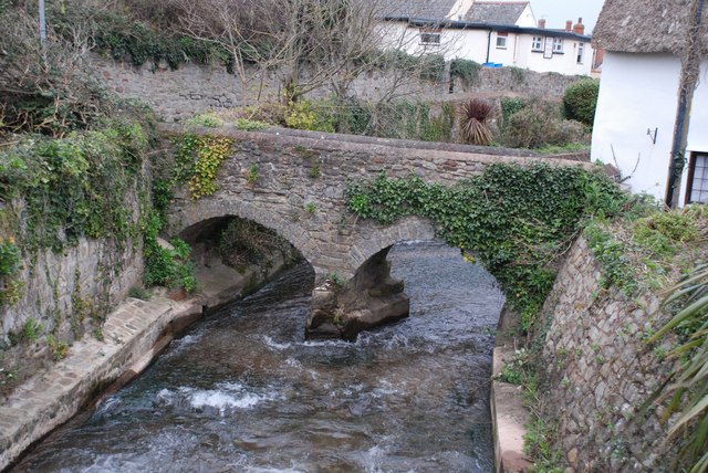
Washford River
The Washford River rises at 600 feet (183 m) near Luxborough in the Brendon Hills and flows through Somerset to the Bristol Channel at Watchet. The river...
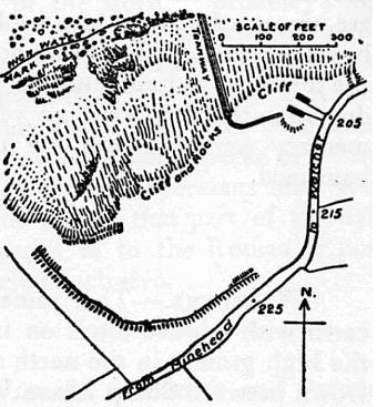
Daw's Castle
Daw's Castle (or Dart's Castle or Dane's Castle) is a sea cliff hillfort just west of Watchet, a harbour town in Somerset, England. It is a Scheduled Monument...

Watchet Boat Museum
Watchet Boat Museum is a small museum in Watchet, Somerset, England. It is housed in the 1862, Victorian, former railway goods shed of Watchet railway...
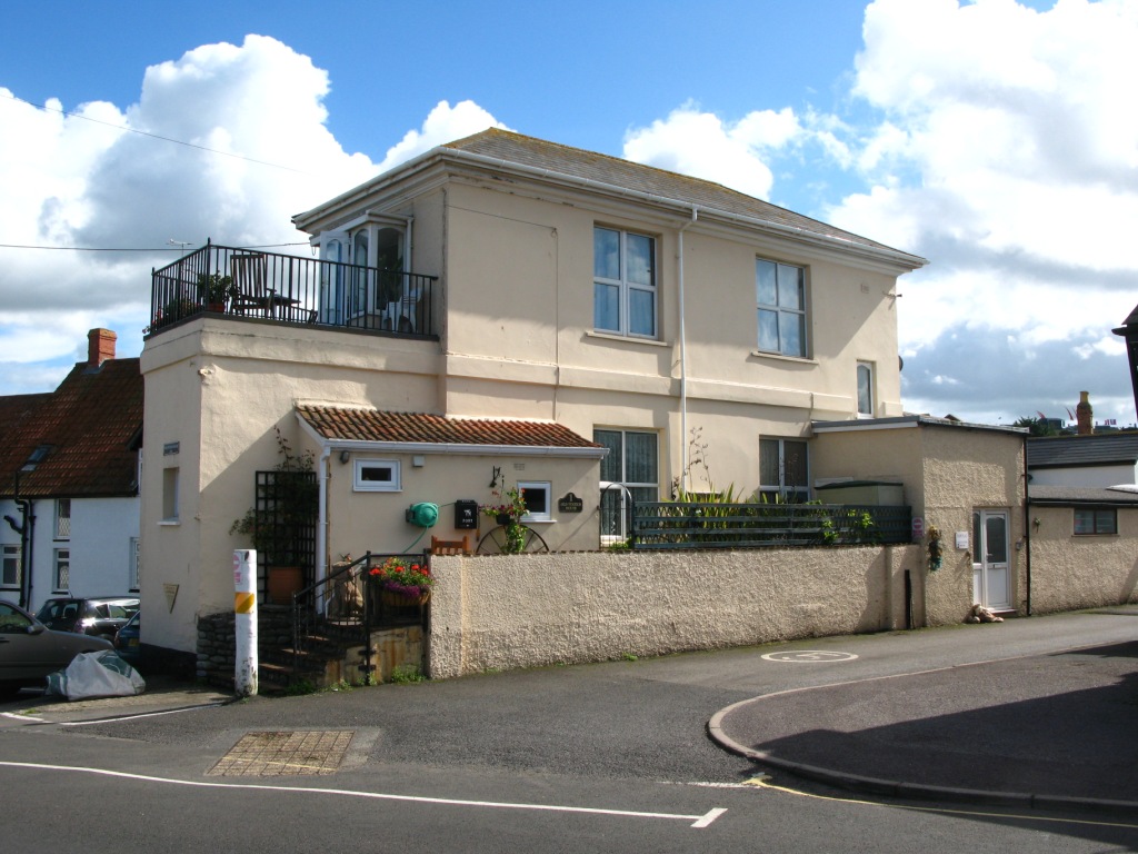
Watchet
Watchet is a harbour town, civil parish and electoral ward in the county of Somerset, England, with a population in 2011 of 3,785. It is situated 15 miles...
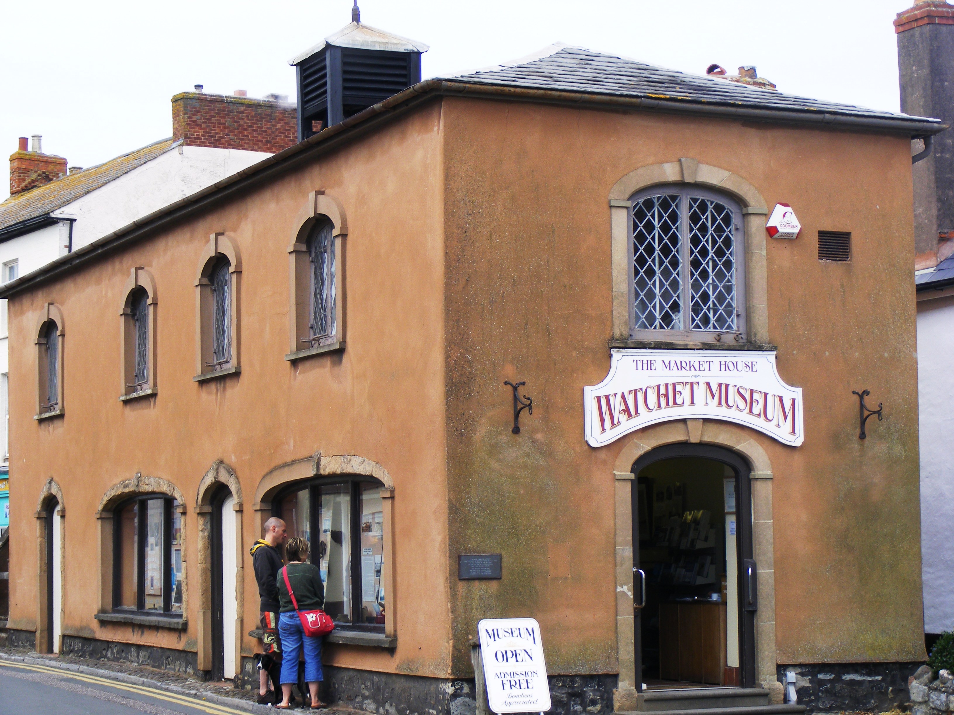
Market House Museum
The Market House Museum is a small museum in Watchet, Somerset, England. The building on Market Street was constructed in 1820 on the site of the previous...
Nearby Amenities
Located within 500m of 51.175852,-3.335385Have you been to St Decumans?
Leave your review of St Decumans below (or comments, questions and feedback).