St Clement

Settlement in Cornwall

England

St Clement

Pasture, St Michael Penkevil Fields rising from a wooded valley bottom viewed from the byroad to the north of Tresawsan Farm.
Pasture, St Michael Penkevil Credit: Andrew Smith

St Clement is a quaint village located in Cornwall, England. Situated on the southern coast, it is nestled between the picturesque towns of Truro and Tresillian. With a population of around 1,500 residents, St Clement offers a peaceful and tranquil atmosphere.

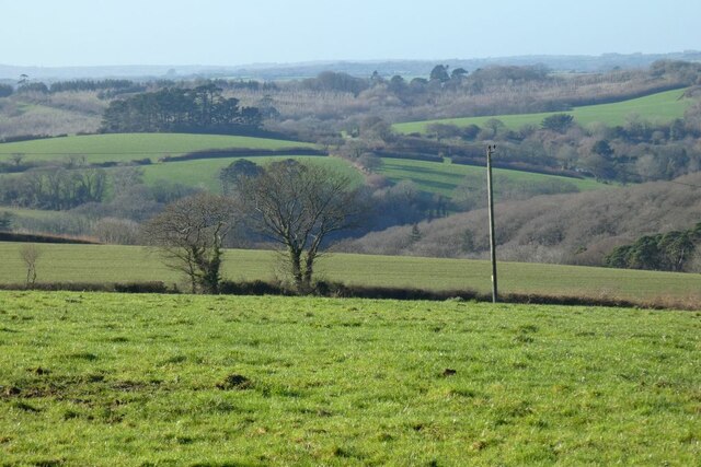
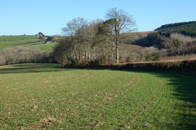
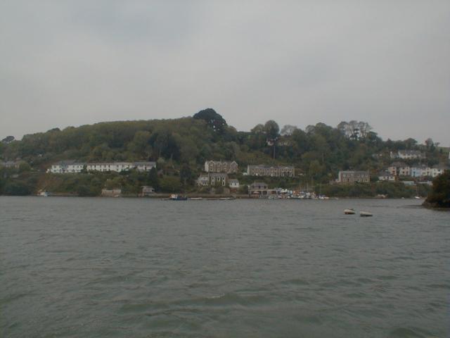
The village is known for its stunning natural beauty, surrounded by rolling green hills and bordered by the mesmerizing River Fal. It boasts a charming countryside setting, making it a popular destination for nature lovers and outdoor enthusiasts. The area is blessed with various walking trails that provide breathtaking views of the surrounding landscape.

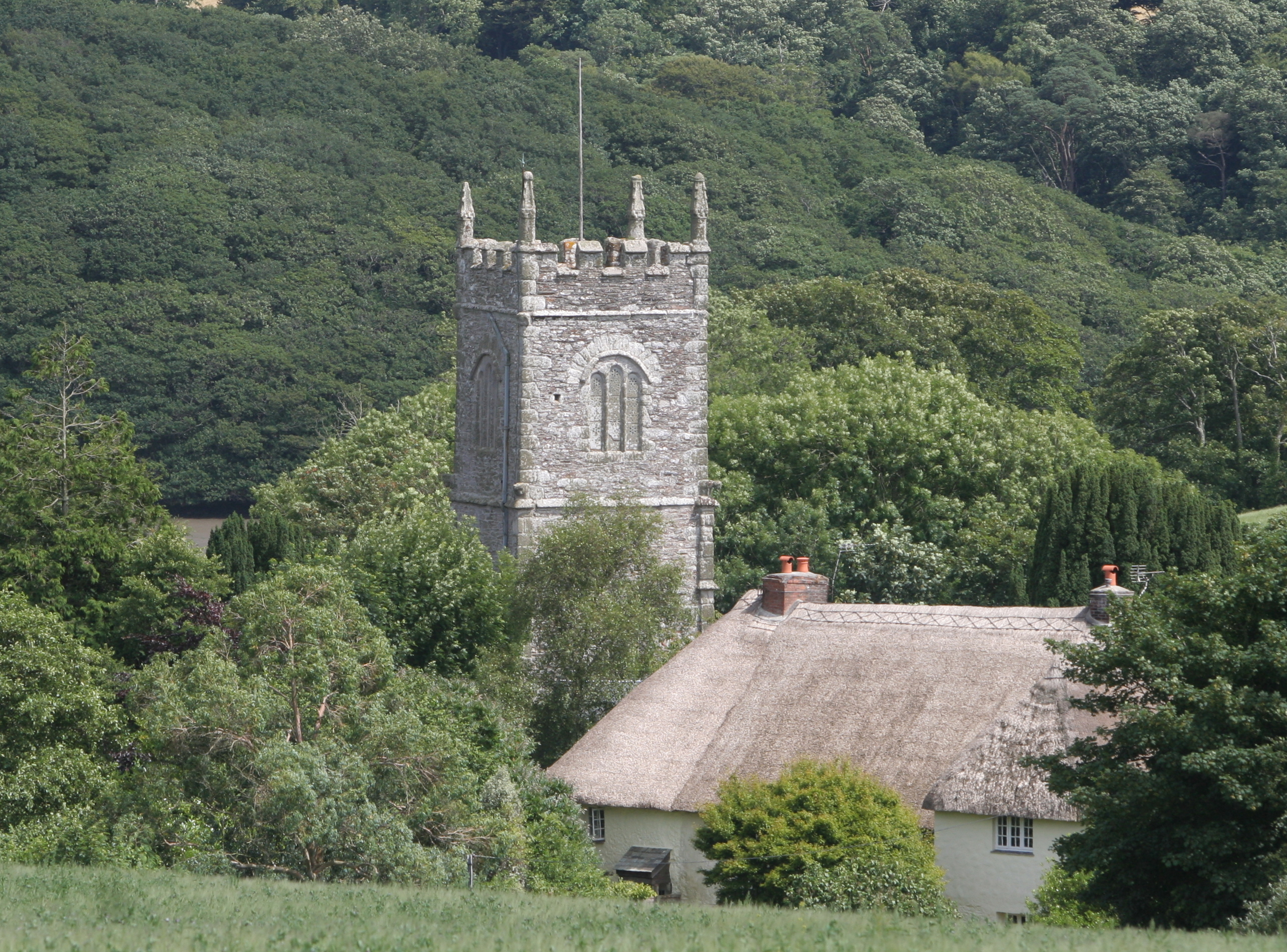
St Clement is also renowned for its historical significance. The village is home to the 13th-century St Clement Parish Church, a remarkable architectural gem that attracts visitors from far and wide. The church's ancient walls and stained-glass windows offer a glimpse into the village's rich past.

In terms of amenities, St Clement offers a range of facilities to cater to its residents and visitors. The village has a local shop for everyday essentials, as well as a cozy pub where one can enjoy a traditional Cornish meal or a pint of local ale. Additionally, the nearby town of Truro provides further amenities, including shops, restaurants, and cultural attractions.

Overall, St Clement is a hidden gem in Cornwall, offering a tranquil escape from the hustle and bustle of modern life. With its natural beauty, historical charm, and friendly community, it is a destination worth exploring for anyone seeking a peaceful retreat.

If you have any feedback on the listing, please let us know in the comments section below.
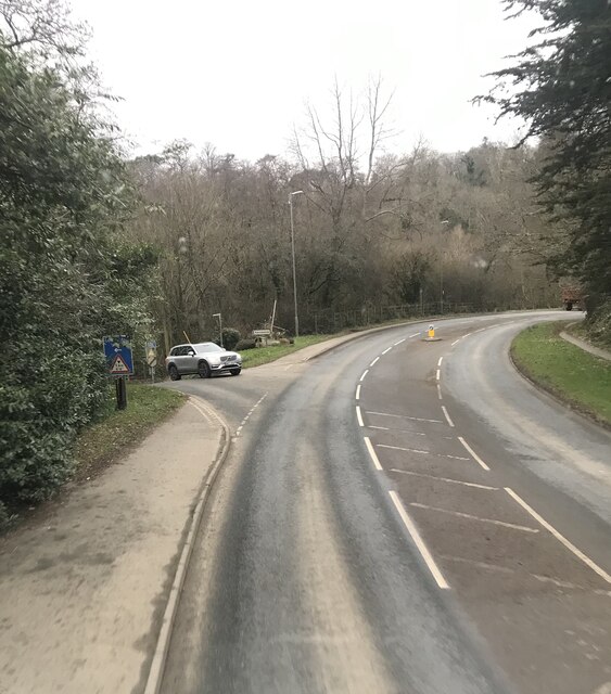
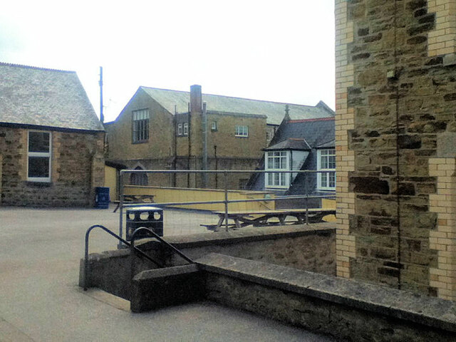
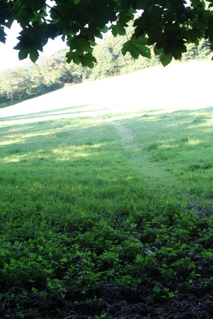
St Clement Images

Images are sourced within 2km of 50.255151/-5.017869 or Grid Reference SW8443. Thanks to Geograph Open Source API. All images are credited.

Pasture, St Michael Penkevil Fields rising from a wooded valley bottom viewed from the byroad to the north of Tresawsan Farm.
Pasture, St Michael Penkevil
Fields rising from a wooded valley bottom viewed from the byroad to the north of Tresawsan Farm.
Farmland, St Michael Penkevil A view across the valley of the Tresillian River to fields at St Clement.
Farmland, St Michael Penkevil
A view across the valley of the Tresillian River to fields at St Clement.
Farmland, St Michael Penkevil Arable land beside the road descending towards Lamorran. A building at Trewonnal can be seen in the background.
Farmland, St Michael Penkevil
Arable land beside the road descending towards Lamorran. A building at Trewonnal can be seen in the background.
Tresillian River, St Clement With the tide out, a view across mud to woodland beside Merther Pond.
Tresillian River, St Clement
With the tide out, a view across mud to woodland beside Merther Pond.
Pasture, St Clement Beside the direct footpath between the village and Malpas.
Pasture, St Clement
Beside the direct footpath between the village and Malpas.
Pasture, St Clement Parkland to the west of Pencalenick.
Pasture, St Clement
Parkland to the west of Pencalenick.
Benchmark Left middle of photo
Benchmark
Left middle of photo
A390 at the turnoff for Kiggon
Truro school chapel
Truro school chapel
Menadews Farm, St Clement Viewed from the lane above the village.
Menadews Farm, St Clement
Viewed from the lane above the village.
Tresemple Pond, St Clement A causeway separates the pond from the Tresillian River estuary.
Tresemple Pond, St Clement
A causeway separates the pond from the Tresillian River estuary.
Meadow to the North of Trennick Lane This Meadow path is the scene of the annual Truro Running Club, Meet Your Max, club run. A lovely canter around the area to the North of the Estuary near Malpas.
Meadow to the North of Trennick Lane
This Meadow path is the scene of the annual Truro Running Club, Meet Your Max, club run. A lovely canter around the area to the North of the Estuary near Malpas.
Mouth of Tresillian River
Riverside house at Malpas
St Clement's church, St Clement
Looking upriver to Truro
The road into St Clement At this point, the road drops steeply into the village.  It is marked as a steep hill on OS maps
The road into St Clement
At this point, the road drops steeply into the village. It is marked as a steep hill on OS maps
Village notice board for St Clement A hedge and notice board on the road as it enters the village; plenty of ivy on the trees!
Village notice board for St Clement
A hedge and notice board on the road as it enters the village; plenty of ivy on the trees!
Show me another place!

St Clement is located at Grid Ref: SW8443 (Lat: 50.255151, Lng: -5.017869)

Unitary Authority: Cornwall

Police Authority: Devon and Cornwall

What 3 Words

///learn.homes.chose. Near Truro, Cornwall

Related Wikis

St Clement, Cornwall

St Clement (Cornish: Klemens) is a civil parish and village in Cornwall, England, United Kingdom. It is situated southeast of Truro in the valley of the...

Merther Lane

Merther Lane is a hamlet in the parish of St Michael Penkevil, Cornwall, England. == References ==

Malpas, Cornwall

Malpas is a riverside village, and former port, in Cornwall, England, United Kingdom. It is situated two miles (3 km) southeast of the city of Truro, on...
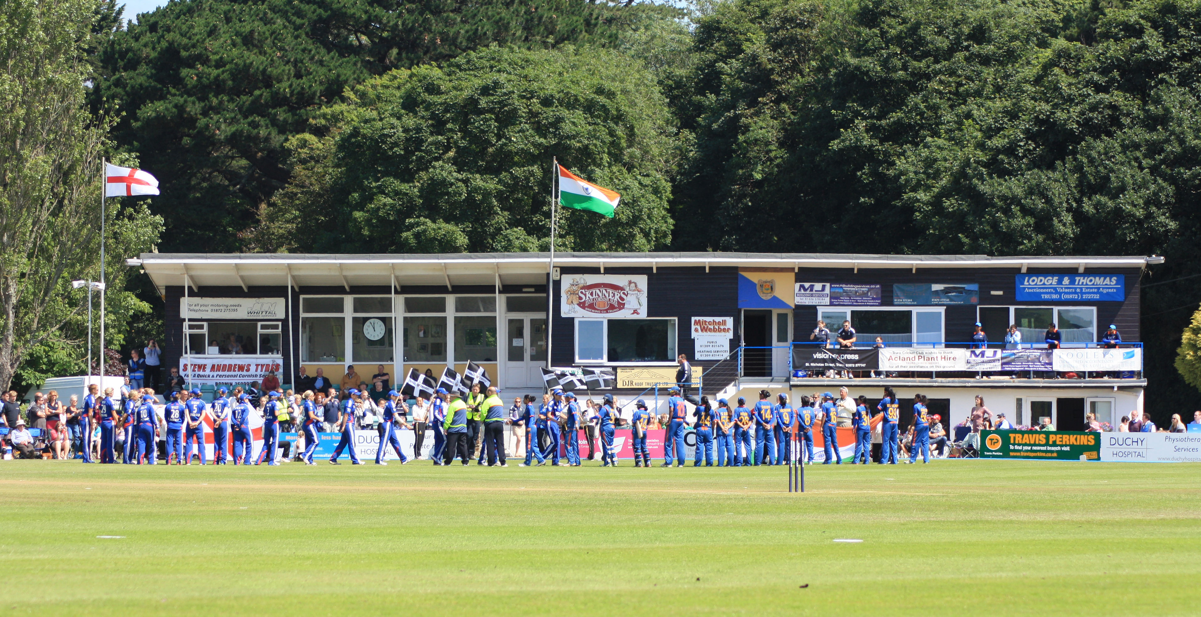
Boscawen Park

Boscawen Park (Cornish: Park Bosskawen) is a cricket ground located in recreation grounds along Malpas Road in Truro, Cornwall. The ground is situated...

Nearby Amenities

Located within 500m of 50.255151,-5.017869
Source: PGS
Lat/Long: 50.2528152/-5.0119173
Source: PGS
Lat/Long: 50.2532988/-5.0122284
Source: PGS
Lat/Long: 50.2536864/-5.0127166
Source: PGS
Lat/Long: 50.2538682/-5.0130116
Source: PGS
Lat/Long: 50.2553173/-5.0140926
Source: PGS
Lat/Long: 50.2573108/-5.0136341
Source: PGS
Lat/Long: 50.2581631/-5.013449
St. Clement
Is In: Cornwall, England, UK
Is In Country: England
Is In Country Code: GB
Is In County: Cornwall
Name Kw: Klemens
Place: hamlet
Source: npe
Lat/Long: 50.2552799/-5.0173304
Telephone
Booth: K6
Covered: booth
Listed Status: Grade II
Lat/Long: 50.2554781/-5.0174601
Post Box
Brand: Royal Mail
Brand Wikidata: Q638098
Collection Times: Mo-Fr 09:00; Sa 07:00; Su off
Drive Through: no
Operator: Royal Mail
Operator Wikidata: Q638098
Post Box Mounting: brick_pillar
Post Box Type: wall
Ref: TR1 63D
Royal Cypher: GR
Royal Cypher Wikidata: Q33102273
Source: survey;aerial imagery
Lat/Long: 50.2559636/-5.0150881
Toilets
Lat/Long: 50.2551496/-5.0179876
Bench
Backrest: yes
Lat/Long: 50.2556196/-5.0154581
Bench
Backrest: yes
Lat/Long: 50.2555564/-5.0153859
The data included in this document is from www.openstreetmap.org. The data is made available under ODbL.

Have you been to St Clement?

Leave your review of St Clement below (or comments, questions and feedback).