Spring Gardens
Settlement in Somerset Mendip
England
Spring Gardens

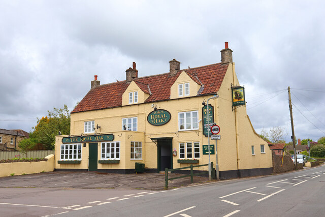
Spring Gardens is a small village located in the county of Somerset, England. Situated in the beautiful Mendip Hills, it is known for its picturesque landscapes and tranquil atmosphere. The village is surrounded by rolling green hills, dotted with charming cottages and farmhouses.
Spring Gardens is home to a close-knit community of friendly and welcoming residents. The village has a rich history, dating back to medieval times. It was once a thriving agricultural community, and remnants of its past can still be seen in the form of historic buildings and landmarks.
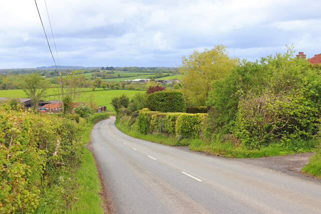
One of the highlights of Spring Gardens is its natural beauty. The village is surrounded by lush countryside, with numerous walking trails and footpaths that offer stunning views of the surrounding hills and valleys. It is a popular destination for nature lovers and outdoor enthusiasts, who can enjoy activities such as hiking, cycling, and bird-watching.
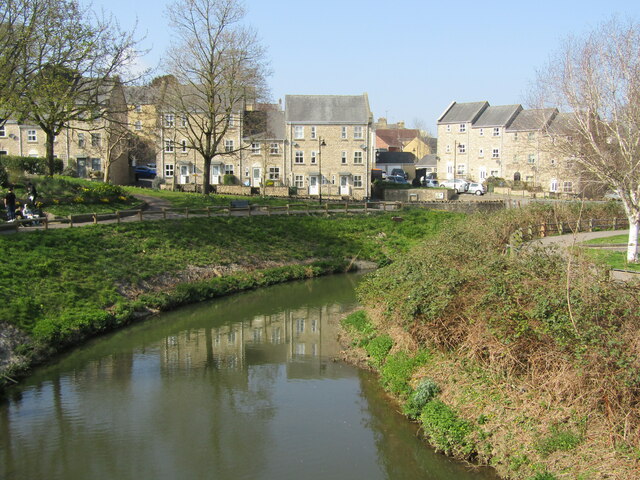
Despite its rural setting, Spring Gardens is conveniently located close to amenities and services. The nearby market town of Wells is just a short drive away, offering a range of shops, restaurants, and cultural attractions. The city of Bristol is also within easy reach, providing access to even more amenities and entertainment options.
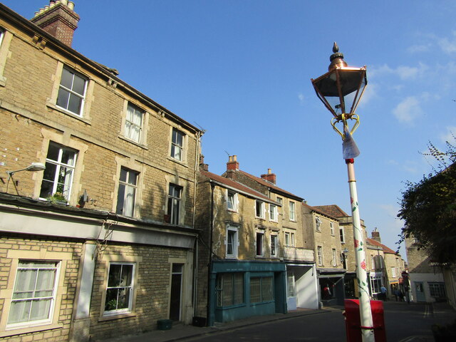
Overall, Spring Gardens is a charming and idyllic village that offers a peaceful and picturesque lifestyle. Its natural beauty, rich history, and close-knit community make it a desirable place to live or visit for those seeking a tranquil escape in the heart of Somerset.
If you have any feedback on the listing, please let us know in the comments section below.
Spring Gardens Images
Images are sourced within 2km of 51.246316/-2.328775 or Grid Reference ST7749. Thanks to Geograph Open Source API. All images are credited.


Spring Gardens is located at Grid Ref: ST7749 (Lat: 51.246316, Lng: -2.328775)
Administrative County: Somerset
District: Mendip
Police Authority: Avon and Somerset
What 3 Words
///door.voted.areas. Near Frome, Somerset
Nearby Locations
Related Wikis
Mells River
The Mells River flows through the eastern Mendip Hills in Somerset, England. It rises at Gurney Slade and flows east joining the River Frome at Frome....

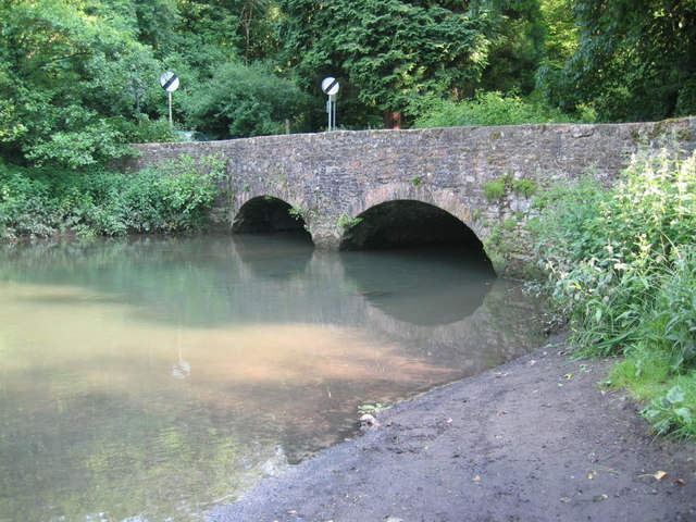
Murtry Aqueduct
Murtry Aqueduct is a three-arched aqueduct that was intended to carry the Dorset and Somerset Canal over the Mells River, near Frome in Somerset, England...

St Mary's Church, Frome
St Mary's Church is a Church of England parish church in Frome, Somerset, England. It was built in 1862–1864 to the designs of C. E. Giles and is a Grade...
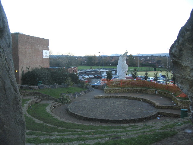
Frome Community College
Frome Community College, styled as Frome College, is a comprehensive school in Frome, Somerset, England for students aged 13 to 18. Approximately 1,200...
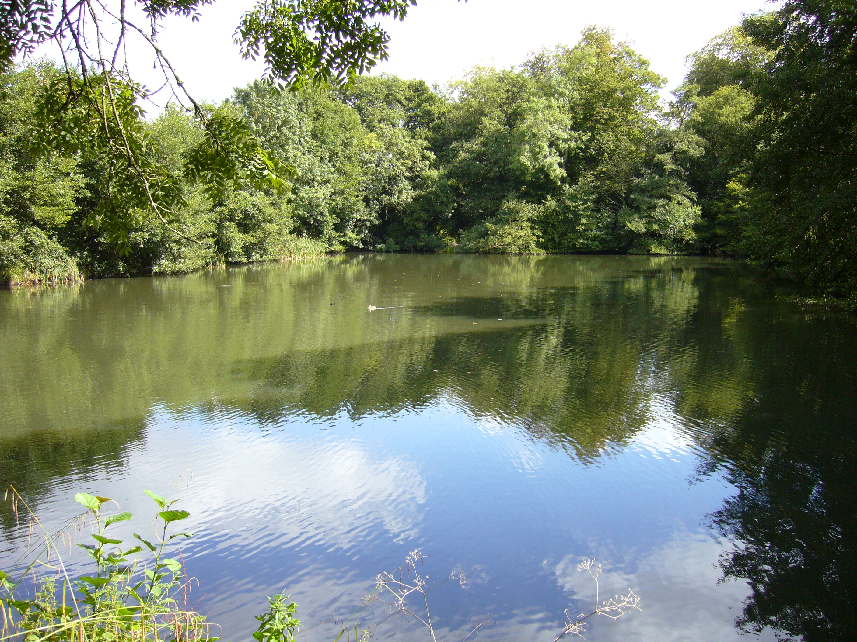
Orchardleigh Lake
Orchardleigh Lake (also spelt Orchardlea) (grid reference ST779508) is an 11.23-hectare artificial lake in the grounds of the Orchardleigh Estate, just...

Church of the Holy Trinity, Frome
The Frome Holy Trinity in Frome, Somerset, England was built in 1837. It is a Grade II* listed building. == History == The church was built in 1837, by...

North Hill House School
North Hill House School, also referred to as NHH, is an independent specialist school in Frome, Somerset, England for children and young people with Autism...
Agricultural Showgrounds, Frome
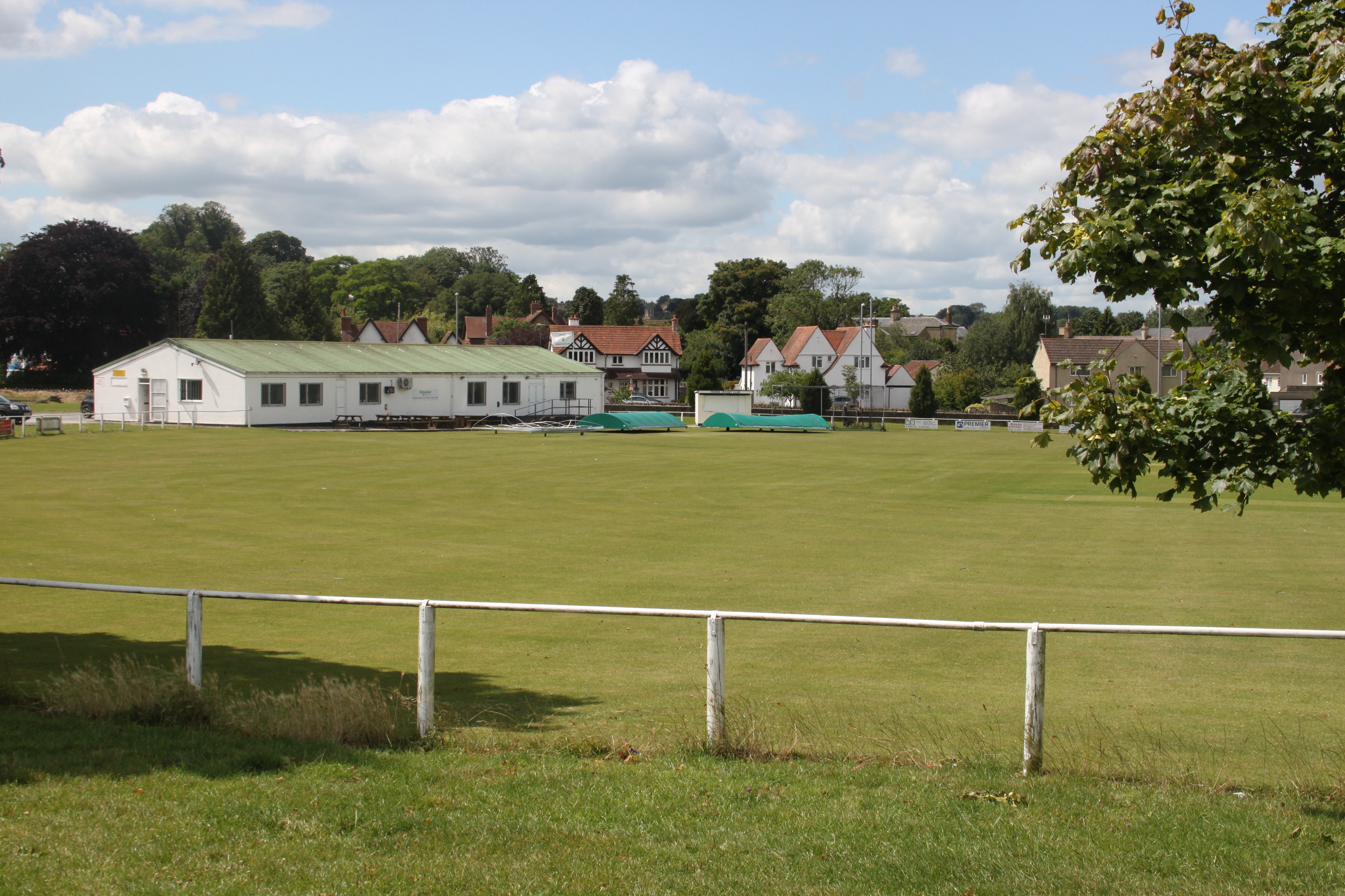
Agricultural Showgrounds is a cricket ground in Frome, Somerset, England. The first recorded match on the ground was in 1882, when Frome played United...
Nearby Amenities
Located within 500m of 51.246316,-2.328775Have you been to Spring Gardens?
Leave your review of Spring Gardens below (or comments, questions and feedback).