Spring End
Settlement in Yorkshire
England
Spring End

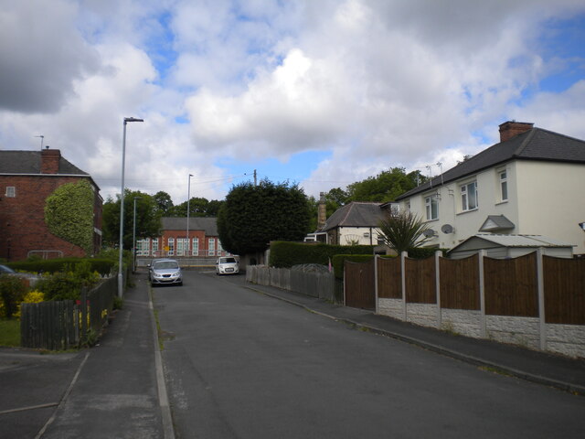
Spring End is a small village located in the county of Yorkshire, England. Situated in a rural area, it is surrounded by picturesque countryside and rolling hills. The village is known for its quaint charm and peaceful atmosphere, making it a popular destination for those seeking a tranquil retreat.
Spring End is home to a tight-knit community of residents who take pride in their village and work together to maintain its beauty. The village features a handful of historic buildings, including a traditional pub and a historic church, adding to its character and charm.
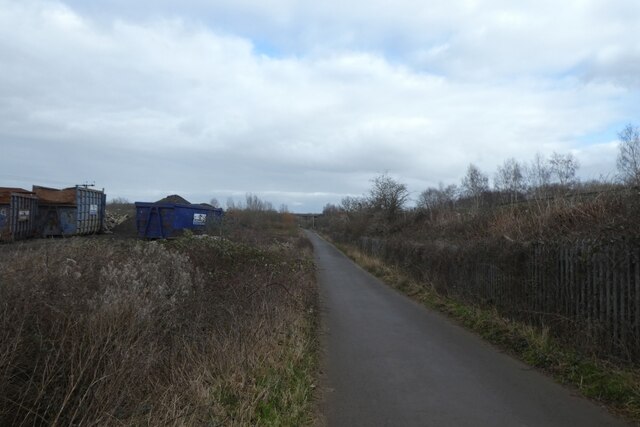
The surrounding area offers plenty of opportunities for outdoor activities, such as hiking, cycling, and fishing. The village is also located near several scenic walking trails and nature reserves, making it an ideal spot for nature lovers and outdoor enthusiasts.
Overall, Spring End is a hidden gem in Yorkshire, offering a peaceful escape from the hustle and bustle of city life and a chance to experience the beauty of rural England.
If you have any feedback on the listing, please let us know in the comments section below.
Spring End Images
Images are sourced within 2km of 53.666896/-1.549398 or Grid Reference SE2919. Thanks to Geograph Open Source API. All images are credited.


Spring End is located at Grid Ref: SE2919 (Lat: 53.666896, Lng: -1.549398)
Division: West Riding
Unitary Authority: Wakefield
Police Authority: West Yorkshire
What 3 Words
///redeemed.chugging.divides. Near Horbury, West Yorkshire
Nearby Locations
Related Wikis
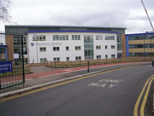
Horbury Academy
Horbury Academy (formerly Horbury School) is a mixed secondary school located in Horbury in the City of Wakefield, West Yorkshire, England.The school...

St Peter and St Leonard's Church, Horbury
St Peter and St Leonard's Church, Horbury is in Horbury, West Yorkshire, England. It is an active Church of England parish church and part of the Wakefield...
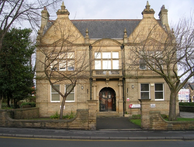
Horbury Town Hall
Horbury Town Hall is a former municipal building in Westfield Road, Horbury, West Yorkshire, England. The structure, which is now used as business centre...

Horbury
Horbury is a town in the City of Wakefield in West Yorkshire, England. Historically in the West Riding of Yorkshire, it is situated north of the River...
Nearby Amenities
Located within 500m of 53.666896,-1.549398Have you been to Spring End?
Leave your review of Spring End below (or comments, questions and feedback).