Affetside

Settlement in Lancashire

England

Affetside

Tottington Road near Harwood
Tottington Road near Harwood Credit: Phil and Juliette Platt

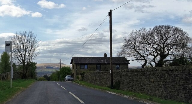
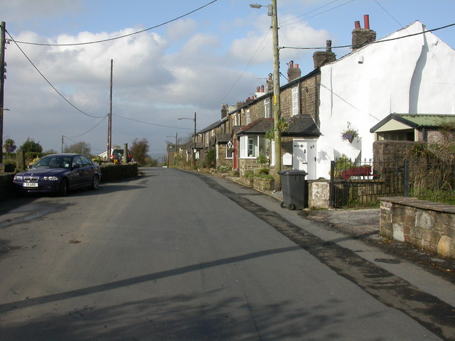
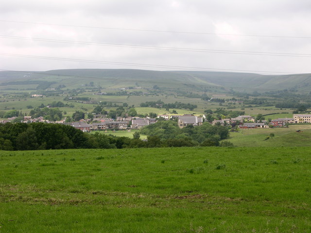
Affetside is a small village located in the county of Lancashire, England. Situated on the edge of the West Pennine Moors, it is nestled between the towns of Bury and Ramsbottom. With a population of around 300 residents, it is a charming and peaceful rural community.

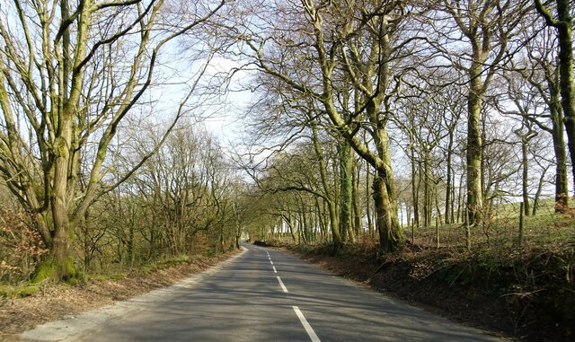
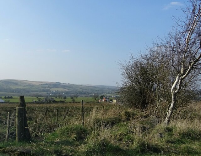
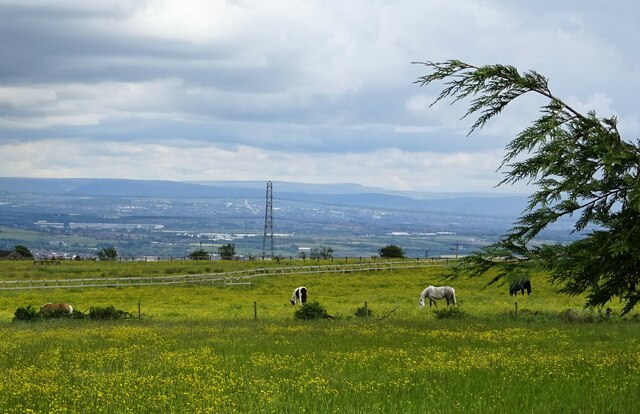
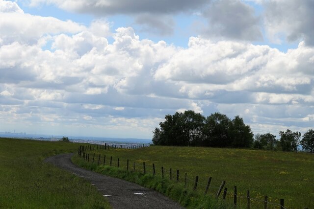
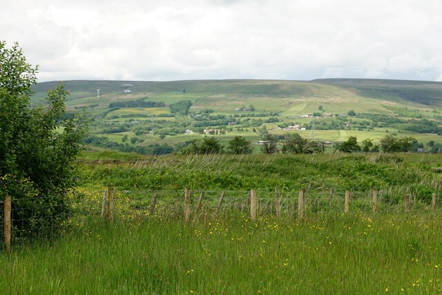
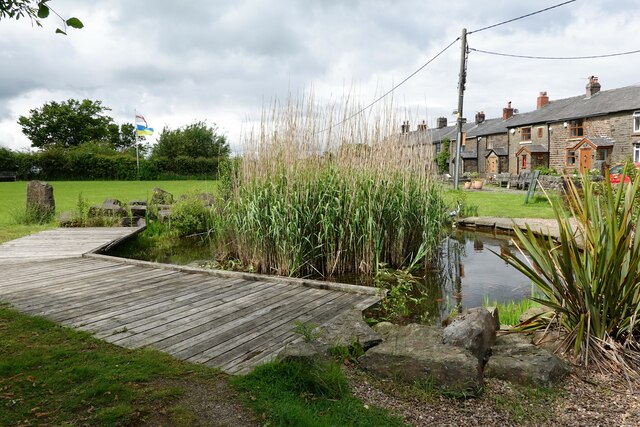
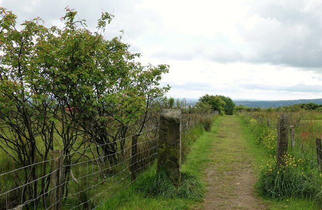
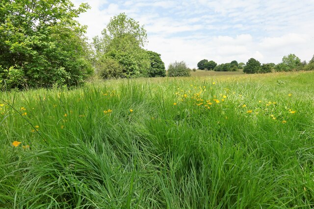
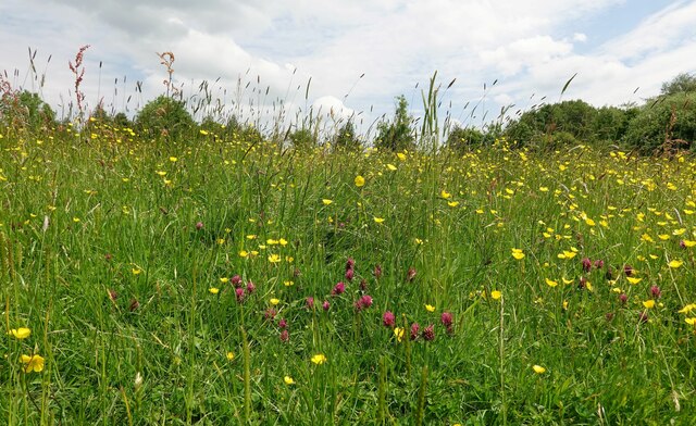
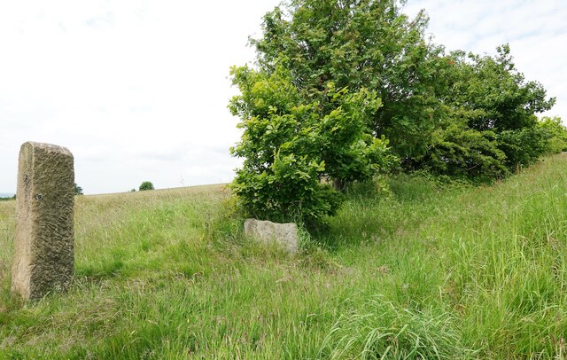
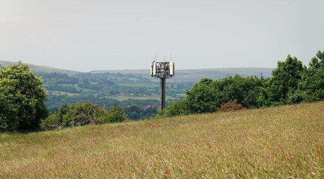
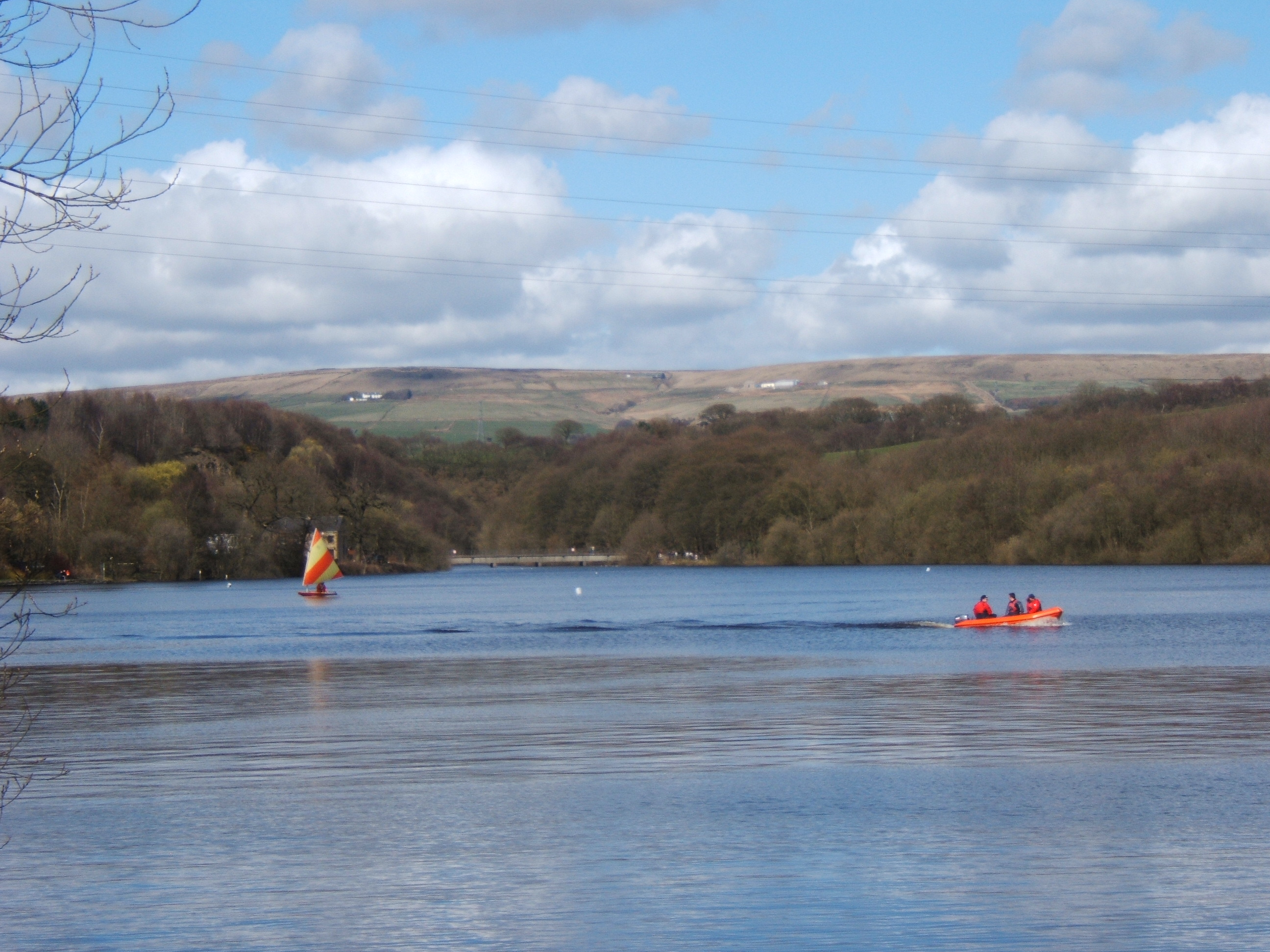
Affetside is well-known for its picturesque surroundings and natural beauty. The village is surrounded by rolling hills and lush green landscapes, making it a popular destination for nature lovers and hikers. The nearby trails and paths offer stunning views of the countryside, making it a haven for outdoor enthusiasts.

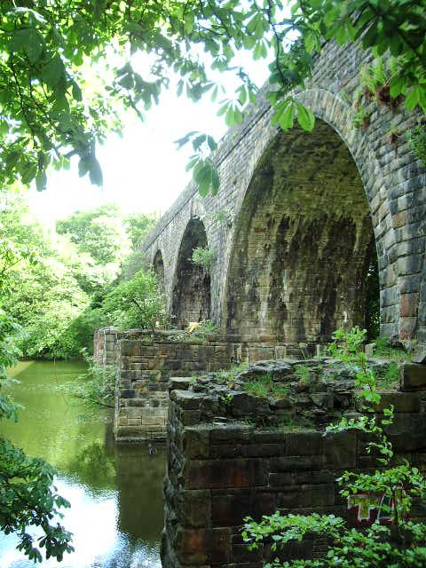
The village itself has a rich history dating back to medieval times. Its name is believed to have originated from Old English, meaning "hillside pasture." Affetside is home to several historic landmarks, including a 14th-century packhorse bridge that crosses the River Irwell. This bridge, known as "Cockey Moor Bridge," is a Grade II listed structure and is a testament to the village's historic significance.

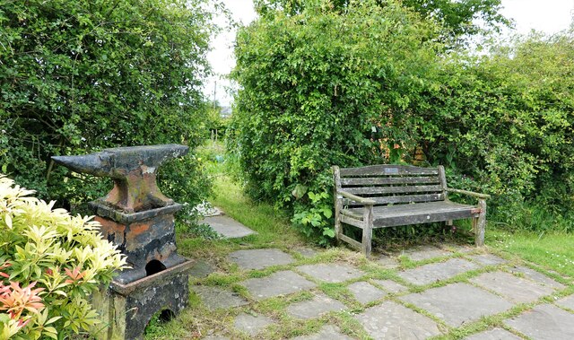
Despite its small size, Affetside boasts a strong sense of community. It is home to a local pub, The Pack Horse Inn, which has been serving locals and visitors for centuries. The pub's warm and welcoming atmosphere makes it a popular gathering spot for residents and a place where visitors can experience the village's friendly hospitality.

In summary, Affetside is a quaint village in Lancashire that offers a peaceful retreat from the hustle and bustle of city life. With its stunning natural surroundings and rich history, it is a hidden gem worth exploring for those seeking a tranquil and picturesque getaway.

If you have any feedback on the listing, please let us know in the comments section below.

Affetside Images

Images are sourced within 2km of 53.618811/-2.371108 or Grid Reference SD7513. Thanks to Geograph Open Source API. All images are credited.

Tottington Road near Harwood
Looking North West from Roman Road North of Affetside village.
Looking North West from Roman Road
North of Affetside village.
Tottington Road With Winter Hill in the background.
Tottington Road
With Winter Hill in the background.
Primitive Methodist Chapel The chapel, on Tottington Road, was built in 1890. The building is no longer in use as a chapel and seems to be currently undergoing a conversion, probably to apartments.
Primitive Methodist Chapel
The chapel, on Tottington Road, was built in 1890. The building is no longer in use as a chapel and seems to be currently undergoing a conversion, probably to apartments.
Horses and buttercups A spring meadow in Affetside.
Horses and buttercups
A spring meadow in Affetside.
Koi carp in a village pond On Affetside village green. Several tadpoles seem to be hitching a ride.
Koi carp in a village pond
On Affetside village green. Several tadpoles seem to be hitching a ride.
Tadpoles galore In Affetside village pond.
Tadpoles galore
In Affetside village pond.
Slack Lane in Affetside Leading to No.3 Bungalow and then via a footpath to Top o' th' Knotts and on to Harwood.
Slack Lane in Affetside
Leading to No.3 Bungalow and then via a footpath to Top o' th' Knotts and on to Harwood.
Overgrown footpath The path leads by the fence from Affetside to Tottington Road, but seems to be impassable at least while the grass is growing high.
Overgrown footpath
The path leads by the fence from Affetside to Tottington Road, but seems to be impassable at least while the grass is growing high.
Affetside village green The pond is stocked with koi carp, goldfish and, at the moment, tadpoles.
Affetside village green
The pond is stocked with koi carp, goldfish and, at the moment, tadpoles.
Potato patch On Affetside allotments.
Potato patch
On Affetside allotments.
Footpath in Affetside Leading from the village to Harwood Lee.
Footpath in Affetside
Leading from the village to Harwood Lee.
Anvil and bench On the village green.
Anvil and bench
On the village green.
Meadow in Harwood The grass is high and haymaking is no doubt imminent.
Meadow in Harwood
The grass is high and haymaking is no doubt imminent.
Wildflower meadow It seems that the meadow is almost ready for mowing and haymaking.
Wildflower meadow
It seems that the meadow is almost ready for mowing and haymaking.
Redundant gatepost On farmland in Harwood.
Redundant gatepost
On farmland in Harwood.
Communications mast Near Brookfold in Harwood.
Communications mast
Near Brookfold in Harwood.
Qatar Airways aeroplane In the skies over Harwood and bound for Manchester Airport.
Qatar Airways aeroplane
In the skies over Harwood and bound for Manchester Airport.
Show me another place!

Affetside is located at Grid Ref: SD7513 (Lat: 53.618811, Lng: -2.371108)

Unitary Authority: Bury

Police Authority: Greater Manchester

What 3 Words

///scores.select.vibrates. Near Tottington, Manchester

Nearby Locations

Affetside

Related Wikis

Related Videos

Walking the Tottington Line

In todays video we walk the now disused Tottington Branch and start our walk at Tottington Junction and head towards ...

Exploring Tottington Mill

In Todays video we head back to what was a small set of Private sidings off the the old Tottington branch line and see what if ...

Jumbles Country Park Walk

Another fun enjoyable walk around Jumbles Country Park.

Nearby Amenities

Located within 500m of 53.618811,-2.371108
Affetside
Is In: Bury, Greater Manchester, England, UK
Place: hamlet
Source: npe
Wikidata: Q4688903
Lat/Long: 53.6187359/-2.3719894
Bus Stop
Watling Street/Turning Circle
Bus: yes
Naptan AtcoCode: 1800NC04861
Naptan Bearing: NW
Naptan CommonName: Watling Street/Turning Circle
Naptan Indicator: Opp House 70
Naptan Landmark: OPP HOUSE
Naptan NaptanCode: mandmpdt
Naptan Notes: INDICATOR AMENDED
Naptan PlusbusZoneRef: MNCRPIC
Naptan ShortCommonName: Turning Circle
Naptan Street: WATLING STREET
Naptan Verified: no
Network: TfGM
Public Transport: platform
Source: naptan_import
Lat/Long: 53.6191709/-2.3723564
Bus Stop
Watling Street/Pack Horse
Bus: yes
Naptan AtcoCode: 1800NC04871
Naptan Bearing: SE
Naptan CommonName: Watling Street/Pack Horse
Naptan Indicator: Church
Naptan Landmark: CHURCH
Naptan NaptanCode: mandmpdw
Naptan PlusbusZoneRef: MNCRPIC
Naptan ShortCommonName: Pack Horse
Naptan Street: WATLING STREET
Naptan Verified: no
Network: TfGM
Public Transport: platform
Source: naptan_import
Lat/Long: 53.6184545/-2.3714733
Bus Stop
Watling Street/Pack Horse
Bus: yes
Naptan AtcoCode: 1800NC05341
Naptan Bearing: NW
Naptan CommonName: Watling Street/Pack Horse
Naptan Indicator: Church
Naptan Landmark: CHURCH
Naptan NaptanCode: mantgptw
Naptan PlusbusZoneRef: MNCRPIC
Naptan ShortCommonName: Pack Horse
Naptan Street: WATLING STREET
Naptan Verified: no
Network: TfGM
Public Transport: platform
Source: naptan_import
Lat/Long: 53.6183912/-2.3716088
Historic: market_cross
Lat/Long: 53.6191479/-2.3723692
The data included in this document is from www.openstreetmap.org. The data is made available under ODbL.

Have you been to Affetside?

Leave your review of Affetside below (or comments, questions and feedback).