Blunts

Settlement in Cornwall

England

Blunts

Blunts  Methodist Church Dating from 1843.
Blunts Methodist Church Credit: Paul Barnett

Blunts is a small coastal village located in the county of Cornwall, England. Situated on the southern coast, it lies approximately 5 miles west of the popular tourist town of St Ives. Blunts is known for its picturesque setting, with stunning views of the Atlantic Ocean and a rugged coastline dotted with cliffs and sandy coves.

The village itself is characterized by its quaint charm and traditional Cornish architecture. It boasts a small population, primarily consisting of locals who are engaged in fishing and tourism-related activities. Blunts is a popular destination for those seeking a peaceful and idyllic retreat away from the hustle and bustle of larger towns.

The natural beauty of Blunts is one of its main attractions, drawing nature enthusiasts and hikers who enjoy exploring the surrounding countryside. The South West Coast Path, a long-distance trail that spans the entire Cornish coastline, passes through the village, offering breathtaking walks along the cliffs and opportunities to spot local wildlife.

In terms of amenities, Blunts has a few small shops and local businesses catering to the needs of residents and visitors. The village also has a pub and a handful of accommodation options, including holiday cottages and bed and breakfasts.

Overall, Blunts exudes a tranquil and unspoiled ambiance, providing a perfect setting for those seeking a peaceful getaway while being close to the stunning natural beauty that Cornwall has to offer.

If you have any feedback on the listing, please let us know in the comments section below.
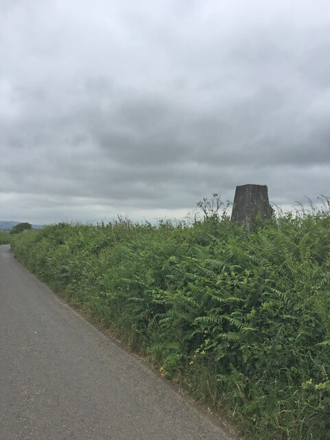
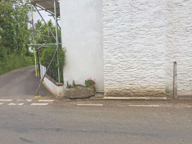
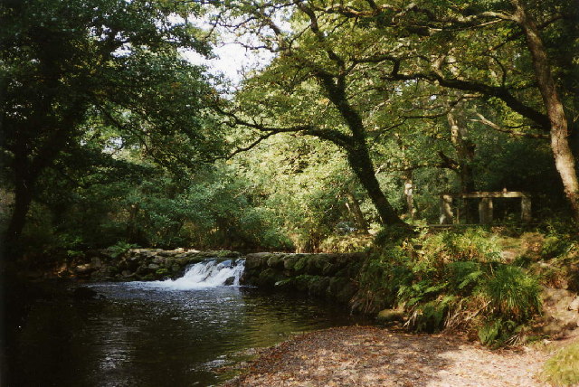
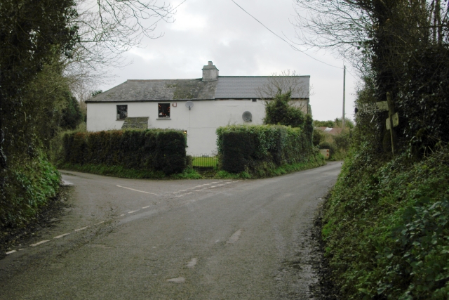
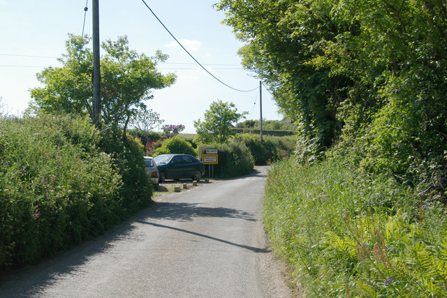
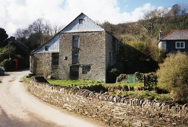
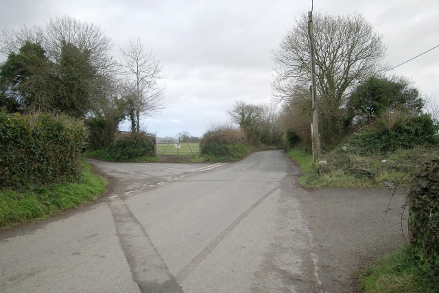
Blunts Images

Images are sourced within 2km of 50.443231/-4.335224 or Grid Reference SX3462. Thanks to Geograph Open Source API. All images are credited.

Blunts  Methodist Church Dating from 1843.
Blunts Methodist Church
Dating from 1843.
Old Direction Sign - Signpost north of Blunts, Quethiock Parish Raised finial - G; by the UC road, in parish of Quethiock (Caradon District), North West of Blunts at crossroads, on top of hedge.

To be surveyed

Milestone Society National ID: CW_SX3463
Old Direction Sign - Signpost north of Blunts, Quethiock Parish
Raised finial - G; by the UC road, in parish of Quethiock (Caradon District), North West of Blunts at crossroads, on top of hedge. To be surveyed Milestone Society National ID: CW_SX3463
Direction Sign – Signpost Located on top of a hedge on the east side of a crossroads northwest of Blunts in Quethiock parish. 3 arms and pineapple finial. An earlier photo of <a title="https://www.geograph.org.uk/photo/6042998" href="https://www.geograph.org.uk/photo/6042998">Link</a> when it had three arms.

Milestone Society National ID: CW_SX3463
Direction Sign – Signpost
Located on top of a hedge on the east side of a crossroads northwest of Blunts in Quethiock parish. 3 arms and pineapple finial. An earlier photo of Link when it had three arms. Milestone Society National ID: CW_SX3463
Goodmerry Trig Point Flush Bracket S3478 A good example of a Devon hedge trig, on a bank and you have to climb it to view flush bracket and spider
Goodmerry Trig Point Flush Bracket S3478
A good example of a Devon hedge trig, on a bank and you have to climb it to view flush bracket and spider
Corner of Trewoodgate Cottage OS Cut Mark on buttress?

<span class="nowrap"><a title="https://www.bench-marks.org.uk/bm150029" rel="nofollow ugc noopener" href="https://www.bench-marks.org.uk/bm150029">Link</a><img style="margin-left:2px;" alt="External link" title="External link - shift click to open in new window" src="https://s1.geograph.org.uk/img/external.png" width="10" height="10"/></span>
Corner of Trewoodgate Cottage
OS Cut Mark on buttress? LinkExternal link
OS Cut Mark Trewoodgate Cottage <span class="nowrap"><a title="https://www.bench-marks.org.uk/bm150029" rel="nofollow ugc noopener" href="https://www.bench-marks.org.uk/bm150029">Link</a><img style="margin-left:2px;" alt="External link" title="External link - shift click to open in new window" src="https://s1.geograph.org.uk/img/external.png" width="10" height="10"/></span>
OS Cut Mark Trewoodgate Cottage
St Mellion: Pillaton Mill Weir A weir on the river Lynher which fed the 1.5 mile long leat to Pillaton Mill
St Mellion: Pillaton Mill Weir
A weir on the river Lynher which fed the 1.5 mile long leat to Pillaton Mill
House at Tideford Cross House at the junction of Bones Lane (the left fork) and Tideford Cross Road,  Tideford Cross, south east Cornwall.
House at Tideford Cross
House at the junction of Bones Lane (the left fork) and Tideford Cross Road, Tideford Cross, south east Cornwall.
Tideford Cross village Tideford Cross village, south east Cornwall, with one of the dwindling number of red telephone boxes.
Tideford Cross village
Tideford Cross village, south east Cornwall, with one of the dwindling number of red telephone boxes.
Derelict shed, Tideford Cross Derelict shed on Tideford Cross Road, Tideford Cross, south east Cornwall.
Derelict shed, Tideford Cross
Derelict shed on Tideford Cross Road, Tideford Cross, south east Cornwall.
Road junction north of Blunts Road junction north of the curiously named Blunts, Cornwall.
Road junction north of Blunts
Road junction north of the curiously named Blunts, Cornwall.
Blunts The eastern end of Blunts village, Cornwall.
Blunts
The eastern end of Blunts village, Cornwall.
New crop of black bales, Trevashmond A new crop of black bales just harvested in a field near Trevashmond Farm, Blunts, Cornwall.
New crop of black bales, Trevashmond
A new crop of black bales just harvested in a field near Trevashmond Farm, Blunts, Cornwall.
Farm track at Holwood Farm track and rusty farm trailer near Holwood, Blunts, Cornwall.
Farm track at Holwood
Farm track and rusty farm trailer near Holwood, Blunts, Cornwall.
Field and pylon near Tilland Road Farm Field and the ubiquitous pylon, south east of Tilland Road Farm, near Trehunist, south east Cornwall.
Field and pylon near Tilland Road Farm
Field and the ubiquitous pylon, south east of Tilland Road Farm, near Trehunist, south east Cornwall.
Field near Tilland Road Farm Field south east of Tilland Road Farm, near Trehunist, south east Cornwall, with Pathada Wood in the distance.
Field near Tilland Road Farm
Field south east of Tilland Road Farm, near Trehunist, south east Cornwall, with Pathada Wood in the distance.
Field near Hay Lake Mill Field containing assorted livestock, near Hay Lake Mill, with Hay Lake (a tributary of the River Tiddy) at the far side of the field just in front of the trees.
Field near Hay Lake Mill
Field containing assorted livestock, near Hay Lake Mill, with Hay Lake (a tributary of the River Tiddy) at the far side of the field just in front of the trees.
Gate and Stream, near Hay Lake Mill Gate and Stream, near Hay Lake Mill, Tilland, south east Cornwall.
Gate and Stream, near Hay Lake Mill
Gate and Stream, near Hay Lake Mill, Tilland, south east Cornwall.
Show me another place!

Blunts is located at Grid Ref: SX3462 (Lat: 50.443231, Lng: -4.335224)

Unitary Authority: Cornwall

Police Authority: Devon and Cornwall

What 3 Words

///forge.bonds.universal. Near Pillaton, Cornwall

Nearby Locations

Blunts

Related Wikis

Blunts, Cornwall

Blunts (Cornish: Shoppa Blunt) is a hamlet southeast of Quethiock in the civil parish of Quethiock in east Cornwall, England, United Kingdom. It is situated...

Penpoll

Penpoll is a farm in the parish of Quethiock, Cornwall, England, UK. It is near the hamlet of Blunts and north of Tideford Cross. The meaning of Penpoll...

Tilland

Tilland is a hamlet in the parish of Quethiock, Cornwall, England, United Kingdom. == References ==

Tideford Cross

Tideford Cross is a hamlet in Cornwall, England, United Kingdom. It is about one mile north of Tideford. == References ==

Related Videos

Tilland Mill Circular Walk | Cornwall 🇬🇧

I decided to go out for an impromptu evening ramble and headed down to a forgotten place called Tilland Mill Farm for what ...

Chatting while walking the Beagles

Chatting while walking the Beagles. This is about keeping yourself safe from scammers and also saving money with voice-over-ip ...

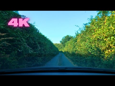
Quethiock, Cornwall Narrow Roads - 4K Video (Relaxing Music)

Driving through Quethiock village in Cornwall. Speed x3 Video was taken in July 2022. ------------------ Facebook: ...

Hammock Ride 29.3.21

ride out and set up tarp and hammock, ready for when lockdown ends.

Nearby Amenities

Located within 500m of 50.443231,-4.335224
Blunts
Name En: Blunts
Name Kw: Shoppa Blunt
Place: hamlet
Wikidata: Q4930788
Wikipedia: en:Blunts, Cornwall
Lat/Long: 50.4432158/-4.3337829
Defibrillator
Access: yes
Booth: K6
Covered: booth
Defibrillator Location: inside old red phone box in Blunts
Disused Amenity: telephone
Emergency: defibrillator
Man Made: telephone_box
Lat/Long: 50.4431038/-4.3358645
Post Box
Post Box Type: wall
Royal Cypher: VR
Lat/Long: 50.4435146/-4.3351871
The data included in this document is from www.openstreetmap.org. The data is made available under ODbL.

Have you been to Blunts?

Leave your review of Blunts below (or comments, questions and feedback).