Sparkbrook
Settlement in Warwickshire
England
Sparkbrook

Sparkbrook is a small village located in the county of Warwickshire, England. Situated approximately 7 miles southeast of the town of Warwick, it is nestled within the picturesque countryside of the Midlands. The village is set in a rural setting, surrounded by rolling hills and farmland, providing residents with a peaceful and idyllic environment.
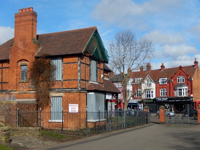
Sparkbrook is known for its historic charm, with many buildings dating back to the medieval period. The architecture reflects the village's rich heritage, with timber-framed houses and thatched roofs adding to its character. The village also boasts a picturesque church, St. Mary's, which stands as a prominent landmark.
The local community in Sparkbrook is close-knit and friendly, with a population of around 500 residents. The village has a strong sense of community spirit, with regular events and gatherings taking place, such as the annual summer fete and Christmas market. These events provide an opportunity for residents to come together and celebrate their shared heritage.
Despite its small size, Sparkbrook offers a range of amenities and services to its residents. These include a primary school, a village hall, a local pub, and a post office. Additionally, the village is well-connected to surrounding areas through a network of roads, making it easily accessible for commuters and visitors alike.
Overall, Sparkbrook is a charming and picturesque village that combines a rich history with a strong sense of community. Its rural location and range of amenities make it a desirable place to live for those seeking a peaceful and close-knit community within the Warwickshire countryside.
If you have any feedback on the listing, please let us know in the comments section below.
Sparkbrook Images
Images are sourced within 2km of 52.465452/-1.871319 or Grid Reference SP0885. Thanks to Geograph Open Source API. All images are credited.


Sparkbrook is located at Grid Ref: SP0885 (Lat: 52.465452, Lng: -1.871319)
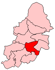
Unitary Authority: Birmingham
Police Authority: West Midlands
What 3 Words
///left.suffice.arrow. Near Birmingham, West Midlands
Nearby Locations
Related Wikis

Farm, Bordesley
Farm is a historic estate within the former manor of Bordesley, now situated in the area of Sparkbrook, a suburb of Birmingham, England. It has been described...
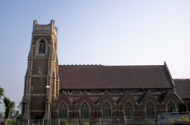
Christ Church, Sparkbrook
Christ Church, Sparkbrook is a church in the Anglican Diocese of Birmingham. == History == The original Christ Church building was opened in 1867. The...
Sparkbrook and Small Heath
Sparkbrook and Small Heath is a defunct administrative district, formerly managed by its own district committee, in Birmingham, England. Its boundaries...

Sparkbrook
Sparkbrook is an inner-city area in south-east Birmingham, England. It is one of the four wards forming the Hall Green formal district within Birmingham...
Nearby Amenities
Located within 500m of 52.465452,-1.871319Have you been to Sparkbrook?
Leave your review of Sparkbrook below (or comments, questions and feedback).