Sparhamhill
Settlement in Norfolk Breckland
England
Sparhamhill
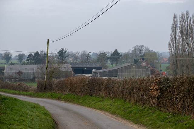
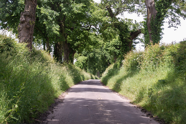
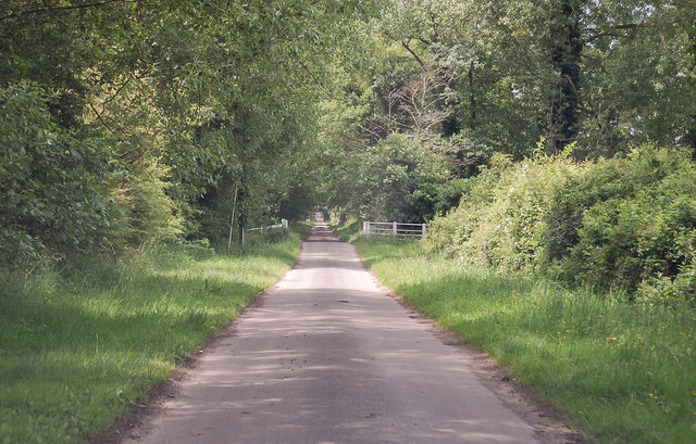
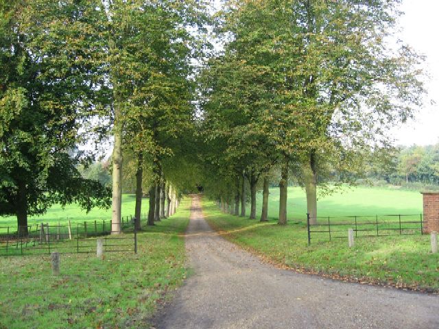
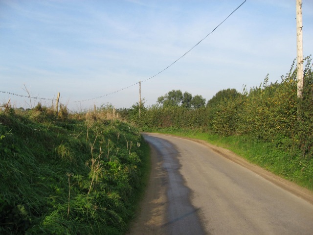
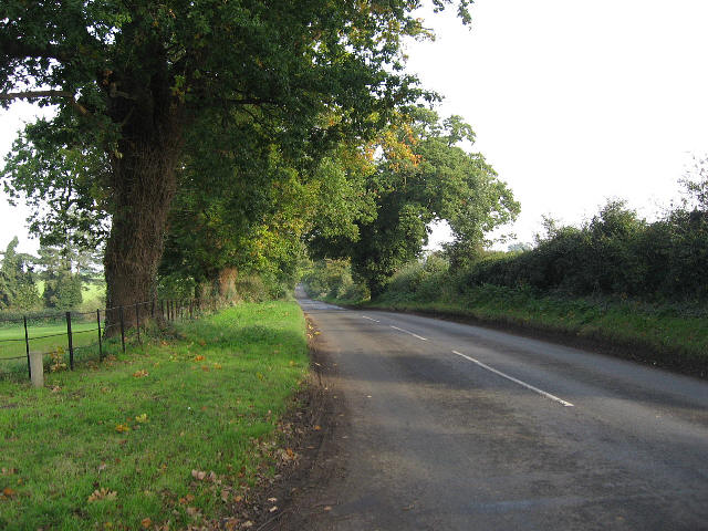
Sparhamhill is a small village located in the county of Norfolk, England. Situated approximately 12 miles northwest of the city of Norwich, it falls within the district of Broadland. The village is surrounded by picturesque countryside, characterized by rolling hills and charming farmland.
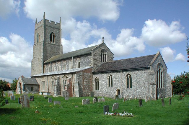
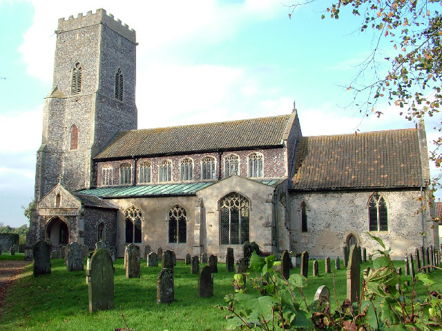
With a population of around 350 residents, Sparhamhill has a close-knit community that retains a strong sense of rural charm. The village is primarily residential, with a mixture of traditional Norfolk cottages and more modern housing developments. The architecture of the village reflects its long history, with some buildings dating back several centuries.
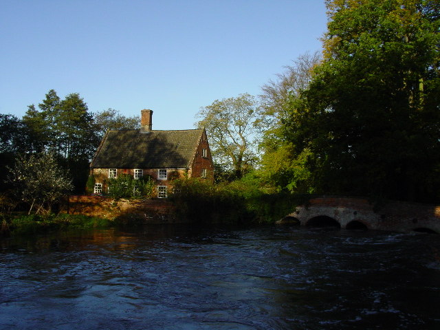
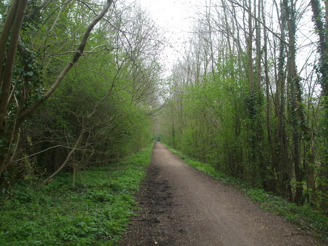
Sparhamhill is blessed with natural beauty, with the nearby Sparham Pools providing a haven for wildlife enthusiasts and birdwatchers. The area is home to a variety of bird species, including swans, herons, and ducks. The village also benefits from its close proximity to other natural attractions, such as the Blickling Estate and Pensthorpe Natural Park, which offer opportunities for walking, cycling, and exploring the great outdoors.
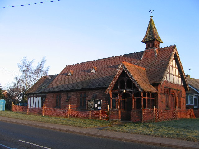
While Sparhamhill is primarily a residential village, it does have some amenities for its residents. These include a small village hall, which serves as a community hub for local events and gatherings. The nearest shops and services can be found in the nearby towns of Reepham and Aylsham, which are just a short drive away.
Overall, Sparhamhill is a quiet and idyllic village that appeals to those seeking a peaceful rural lifestyle, surrounded by the beauty of the Norfolk countryside.
If you have any feedback on the listing, please let us know in the comments section below.
Sparhamhill Images
Images are sourced within 2km of 52.728927/1.0832616 or Grid Reference TG0819. Thanks to Geograph Open Source API. All images are credited.


Sparhamhill is located at Grid Ref: TG0819 (Lat: 52.728927, Lng: 1.0832616)
Administrative County: Norfolk
District: Breckland
Police Authority: Norfolk
What 3 Words
///face.visits.overtones. Near Reepham, Norfolk
Nearby Locations
Related Wikis

A1067 road
The A1067 is an English A road entirely in the county of Norfolk. It runs from Fakenham Northern By-Pass (A148) to Norwich inner ring road (A147). �...

Sparham
Sparham is a village and civil parish in Norfolk, England. It covers an area of 7.22 km2 (2.79 sq mi) and had a population of 291 in 109 households at...
Whitwell Common SSSI
Whitwell Common is a 19.4-hectare (48-acre) biological Site of Special Scientific Interest north-east of Dereham in Norfolk.This common in the valley...

Sparham Pools
Sparham Pools is a 12.2-hectare (30-acre) nature reserve south of Sparham in Norfolk. It is leased and managed by the Norfolk Wildlife Trust.These former...
Great Witchingham
Great Witchingham is a village and civil parish in the English county of Norfolk about 11 miles (18 km) north-west of Norwich. It covers an area of 9.12...

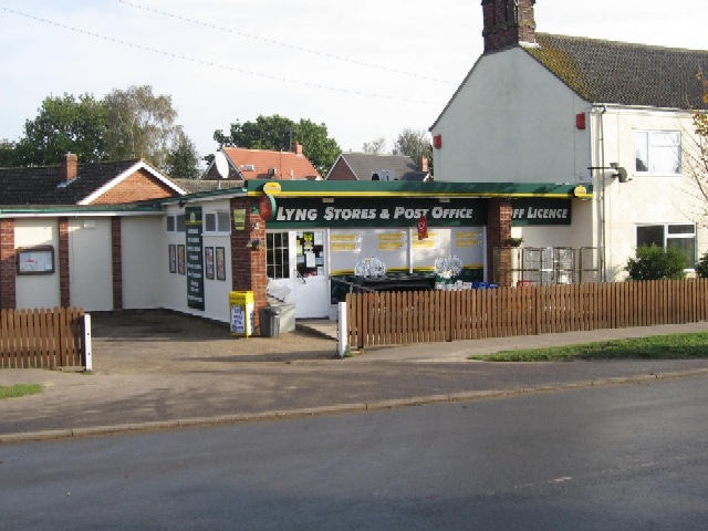
Lyng, Norfolk
Lyng is a village and civil parish in the English county of Norfolk. It is situated on the River Wensum, some 10 km (6.2 mi) north-east of the town of...

Lenwade
Lenwade is a village in the civil parish of Great Witchingham, Norfolk, situated in the Wensum Valley adjacent to the A1067 road 14 miles (23 km) south...
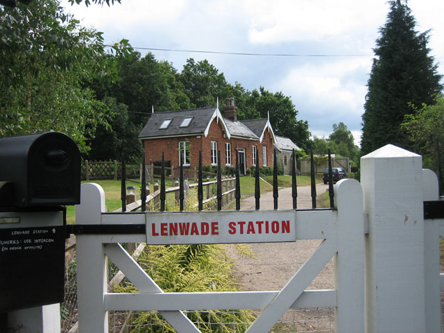
Lenwade railway station
Lenwade railway station was a railway station in North Norfolk, England. It was built by the Lynn and Fakenham Railway Company in 1882 and taken over by...
Nearby Amenities
Located within 500m of 52.728927,1.0832616Have you been to Sparhamhill?
Leave your review of Sparhamhill below (or comments, questions and feedback).