Southwick
Settlement in Sussex Adur
England
Southwick

Southwick is a picturesque village located in the Adur district of West Sussex, England. Situated on the south coast, it lies approximately 6 miles west of Brighton and Hove, and 2 miles east of Shoreham-by-Sea. With a population of around 8,000, it offers a peaceful and close-knit community feel.
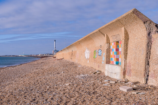
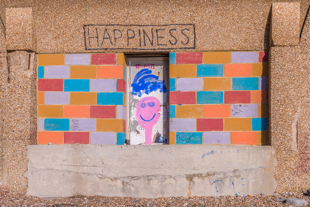
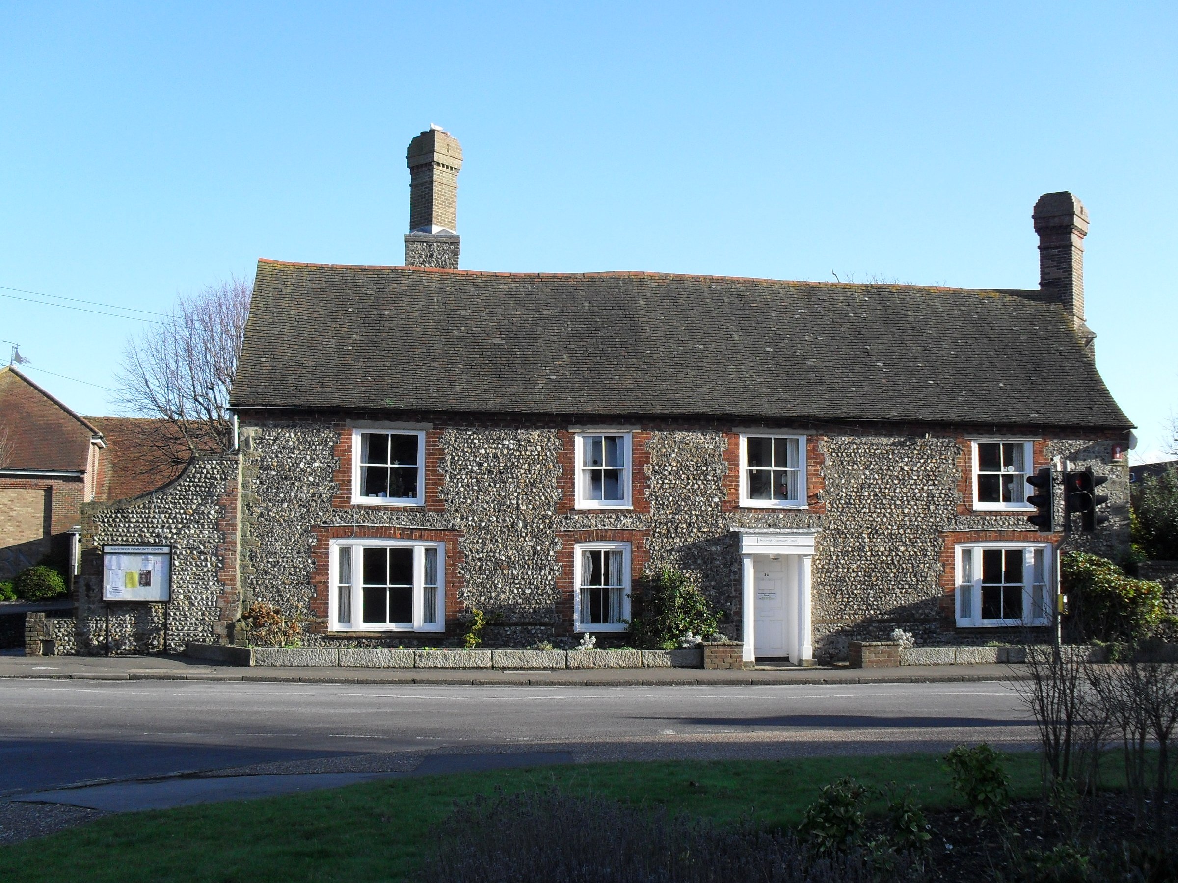
The village is steeped in history, dating back to the Roman times. It is best known for its maritime heritage, as it was once a bustling fishing and trading port. Today, remnants of its past can still be seen, such as the historic Southwick Green, a village square surrounded by charming cottages and St. Julian's Church, a Grade I listed building that dates back to the 13th century.
Southwick benefits from its proximity to the South Downs National Park, offering breathtaking views and ample opportunities for outdoor activities, including hiking, cycling, and horse riding. The nearby coastline also provides residents and visitors with easy access to the beautiful beaches and water sports.
The village boasts a range of amenities, including local shops, restaurants, and pubs, catering to the needs of its residents. It is also well-connected, with frequent bus services to neighboring towns and cities, and a train station providing direct links to Brighton, London, and other major cities.
Southwick is highly regarded for its strong sense of community spirit, evident through various events and festivals held throughout the year. These include the Southwick Carnival, a highlight of the summer, and the Southwick Beer Festival, which celebrates local breweries.
Overall, Southwick offers a perfect blend of history, natural beauty, and community spirit, making it an attractive place to live or visit in Sussex.
If you have any feedback on the listing, please let us know in the comments section below.
Southwick Images
Images are sourced within 2km of 50.833921/-0.230539 or Grid Reference TQ2405. Thanks to Geograph Open Source API. All images are credited.


Southwick is located at Grid Ref: TQ2405 (Lat: 50.833921, Lng: -0.230539)
Administrative County: West Sussex
District: Adur
Police Authority: Sussex
What 3 Words
///caged.shack.settle. Near Portslade, East Sussex
Nearby Locations
Related Wikis

Southwick F.C.
Southwick Football Club was a football club based in Southwick, West Sussex, England. The club was founded in 1882 and was among the founding members of...

Old Town Hall, Southwick
The Old Town Hall, is a former municipal building in Albion Street in Southwick, West Sussex, England. The building, which is now used as offices, was...
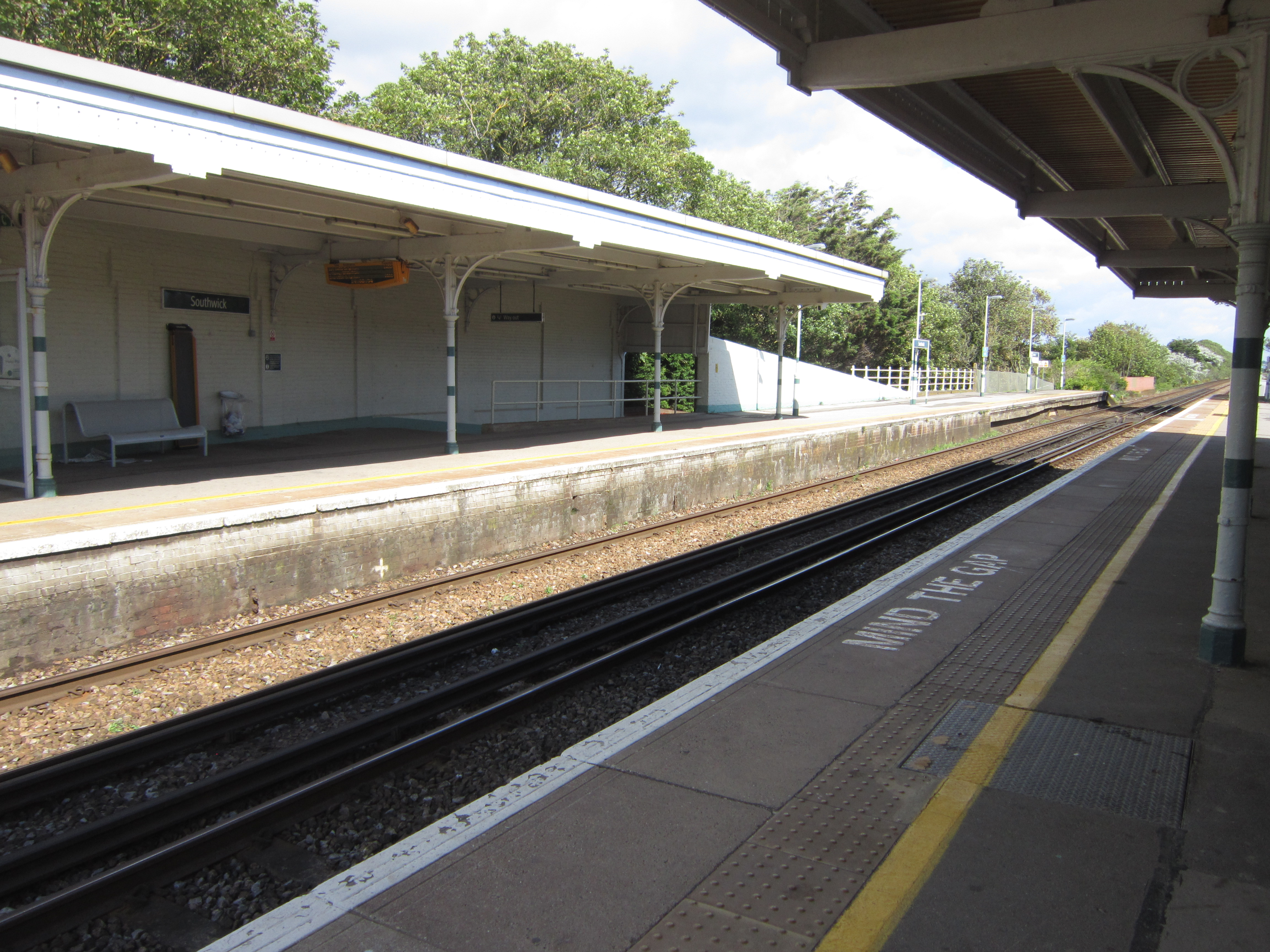
Southwick railway station
Southwick railway station serves the town of Southwick in West Sussex, England. It is on the West Coastway Line, 4 miles 30 chains (7.0 km) from Brighton...

Shoreham Power Station
Shoreham Power Station is a 420MWe combined cycle gas-fired power station in Southwick, West Sussex. It was built on the site of the Brighton B Power Station...
Admiralty M-N Scheme
'The Admiralty M-N Scheme' (sometimes given as "Project M-N") was a World War I British plan to close the Strait of Dover in the English Channel to German...
Southwick, West Sussex
Southwick () is a town in the Adur district of West Sussex, England located five miles (8 km) west of Brighton. It covers an area of 863.7 ha (2,134 acres...

St Michael and All Angels Church, Southwick
St Michael and All Angels Church is an Anglican church in the town of Southwick in the district of Adur, one of seven local government districts in the...

Fishersgate railway station
Fishersgate railway station is a railway station in West Sussex, England, serving both the eastern part of Southwick, as well as the western part of Portslade...
Nearby Amenities
Located within 500m of 50.833921,-0.230539Have you been to Southwick?
Leave your review of Southwick below (or comments, questions and feedback).