Blue Anchor

Settlement in Cornwall

England

Blue Anchor

A30 Westbound, Turning For A3058
A30 Westbound, Turning For A3058 Credit: Roy Hughes

Blue Anchor is a picturesque coastal village located in the county of Cornwall, England. Situated on the edge of the Bristol Channel, it is nestled between the larger towns of Minehead and Watchet. The village takes its name from the blue anchor that was once part of a buoy marking the entrance to the harbor.

Blue Anchor boasts stunning natural beauty, with its long sandy beach stretching along the shoreline. The beach is a popular spot for sunbathing, swimming, and other water activities. At low tide, visitors can enjoy exploring the rock pools teeming with marine life.

The village itself is small and charming, with a mix of traditional cottages and modern houses. There are a few local shops and amenities, including a pub and a café, providing a cozy atmosphere for residents and tourists alike. The pub often hosts live music events, attracting visitors from the surrounding areas.

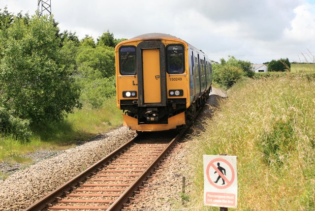
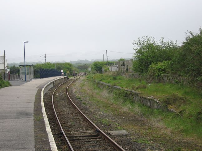
Blue Anchor is also known for its historic steam railway station, which is part of the West Somerset Railway line. The steam trains offer a nostalgic journey through the beautiful countryside, making it a favorite attraction for visitors of all ages.

Nature lovers will appreciate the nearby Quantock Hills, an Area of Outstanding Natural Beauty, offering breathtaking views and numerous walking trails. The hills are home to a variety of wildlife, including deer and birds, making it a haven for birdwatchers and photographers.

Overall, Blue Anchor is a tranquil and idyllic destination, offering a perfect blend of natural beauty, history, and a warm community atmosphere.

If you have any feedback on the listing, please let us know in the comments section below.
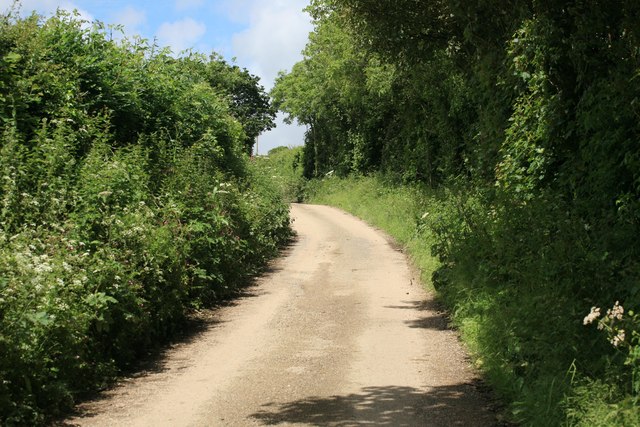
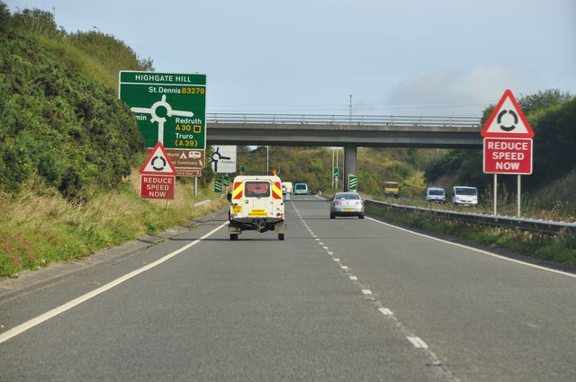
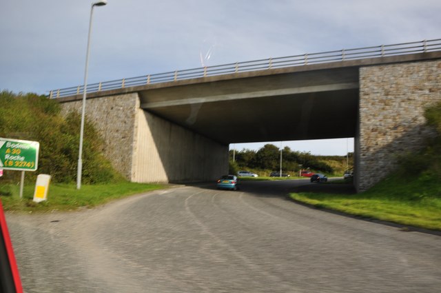
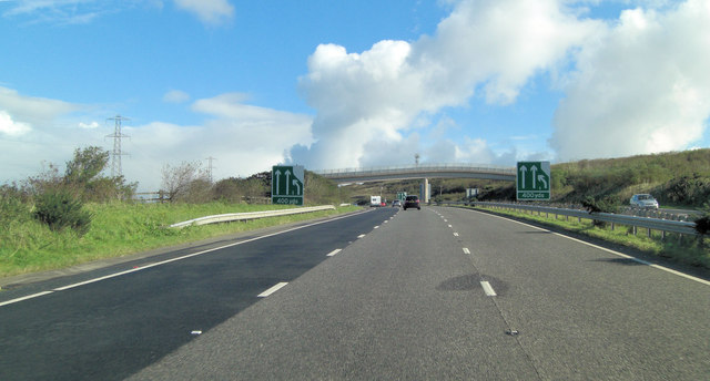
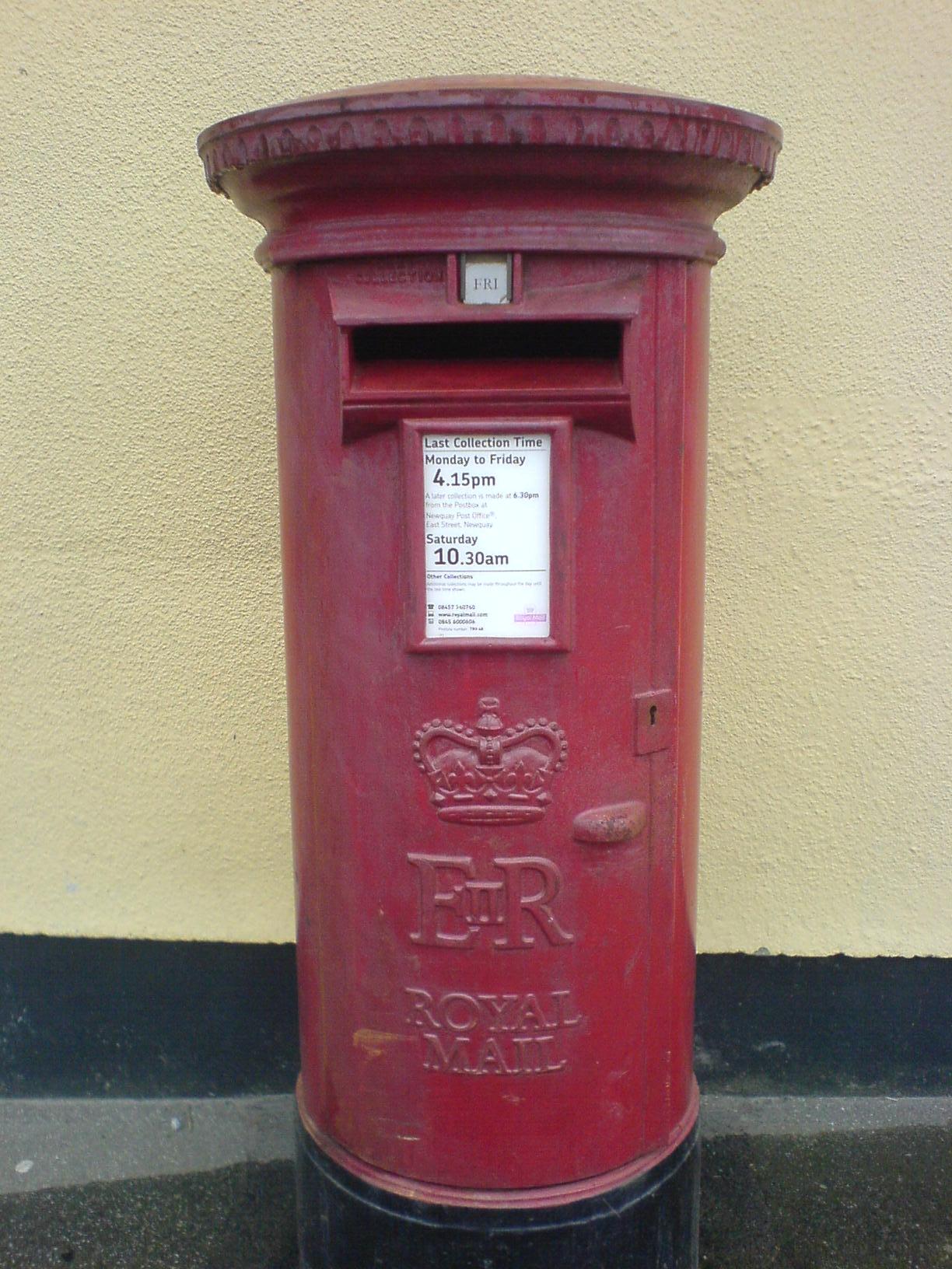
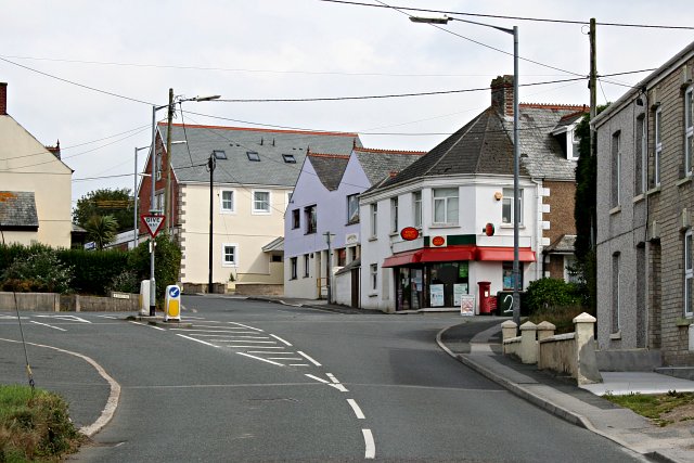
Blue Anchor Images

Images are sourced within 2km of 50.384321/-4.937838 or Grid Reference SW9157. Thanks to Geograph Open Source API. All images are credited.

A30 Westbound, Turning For A3058
Barton Lane nr Trevuzza Typical Cornish lane nr Indian Queens
Barton Lane nr Trevuzza
Typical Cornish lane nr Indian Queens
The A30 Near Summercourt.
The A30
Near Summercourt.
Restormel : A39 Roundabout From the roundabout looking up the A39 in the Restormel district of Cornwall.
Restormel : A39 Roundabout
From the roundabout looking up the A39 in the Restormel district of Cornwall.
Restormel : The A39 The A39 heading down into Cornwall. The bridge ahead seems to be a rail bridge.
Restormel : The A39
The A39 heading down into Cornwall. The bridge ahead seems to be a rail bridge.
Restormel : The A39 Heading along the A39 in Restormel behind a highway maintenance van.
Restormel : The A39
Heading along the A39 in Restormel behind a highway maintenance van.
Restormel : The A39 The A39 heading through Cornwall close to Indian Queens.
Restormel : The A39
The A39 heading through Cornwall close to Indian Queens.
Restormel : A39 under the A30 Two of the main routes through Cornwall meet here at this road junction.
Restormel : A39 under the A30
Two of the main routes through Cornwall meet here at this road junction.
Restormel : The A30 The A30 heading downhill with the Cornish countryside providing a scenic backdrop.
Restormel : The A30
The A30 heading downhill with the Cornish countryside providing a scenic backdrop.
The roundabout at Halloon Farm This is the junction of the A39 and A392, and these roads are joined by two lesser roads
The roundabout at Halloon Farm
This is the junction of the A39 and A392, and these roads are joined by two lesser roads
The road to St Columb Road from A392 Taking this fork avoids the roundabout at Halloon Farm
The road to St Columb Road from A392
Taking this fork avoids the roundabout at Halloon Farm
A30 Westbound, A39 Sliproad
A30 Westbound Approaching B3275 Junction
Arriving at St Columb Road station The 1255 Newquay to Par service calls at St Columb Road station which is, like all the stations on the Newquay line, an unstaffed halt.
Arriving at St Columb Road station
The 1255 Newquay to Par service calls at St Columb Road station which is, like all the stations on the Newquay line, an unstaffed halt.
A30 south of Polmenna Farm
A30 crossed by B3275
A30 crossed by footbridge from Pedna-Carne Caravan Park
A30 east of Indian Queens
Show me another place!

Blue Anchor is located at Grid Ref: SW9157 (Lat: 50.384321, Lng: -4.937838)

Unitary Authority: Cornwall

Police Authority: Devon and Cornwall

What 3 Words

///melts.denser.vitals. Near St Dennis, Cornwall

Nearby Locations

Blue Anchor

Related Wikis

Blue Anchor, Cornwall

Blue Anchor is a hamlet in mid Cornwall, England, United Kingdom. It is in the civil parish of St Enoder It is situated on the old course of the A30 road...

Fraddon

Fraddon is a village in mid-Cornwall, England, United Kingdom, in the parish of St Enoder (where the 2011 census population was included). It is roughly...

Penhale

Penhale (Cornish: Pennhal) is a village in Cornwall, England, United Kingdom. It is about six miles (10 km) east-southeast of Newquay and ten miles (16...

Indian Queens

Indian Queens (Cornish: Myghternes Eyndek) is a village in Cornwall, England, United Kingdom. The village, which is on the A30 trunk road, is in the civil...

St Austell and Newquay (UK Parliament constituency)

St Austell and Newquay is a constituency in Cornwall represented in the House of Commons of the UK Parliament since 2015 by Steve Double, a Conservative...

St Columb Road

St Columb Road (Cornish: Fordh Sen Kolomm) is a small village near Fraddon and Indian Queens in Cornwall, England, United Kingdom. It lies half a mile...

Retew

Retew was a village near St Austell in Cornwall, England, that was mostly demolished in the early 1960s when the nearby Wheal Remfrey china clay quarry...

St Columb Road railway station

St Columb Road railway station (Cornish: Fordh Sen Kolom) serves the village of St Columb Road in Cornwall, England. The station is situated on the Atlantic...

Nearby Amenities

Located within 500m of 50.384321,-4.937838
Mini Roundabout
Direction: clockwise
Lat/Long: 50.381396/-4.9410896
Mini Roundabout
Direction: clockwise
Lat/Long: 50.3878355/-4.9374834
Fraddon
Name Kw: Frodan
Place: village
Ref: FRADDON
Lat/Long: 50.3873319/-4.9369875
Power: tower
Lat/Long: 50.3831846/-4.9325821
Power: tower
Source: bing
Lat/Long: 50.3845665/-4.933773
Power: tower
Source: bing
Lat/Long: 50.3823842/-4.936187
Power: tower
Source: bing
Lat/Long: 50.3806875/-4.9342343
Power: tower
Source: bing
Lat/Long: 50.3804959/-4.9381611
Power: tower
Source: bing
Lat/Long: 50.3862425/-4.9318418
Post Box
Collection Times: Mo-Fr 09:00; Sa 07:00; Su off
Operator: Royal Mail
Operator Wikidata: Q638098
Post Box Design: type_a
Post Box Type: pillar
Ref: TR9 48D
Royal Cypher: EIIR
Royal Cypher Wikidata: Q33102113
Source: survey;aerial imagery
Lat/Long: 50.3877234/-4.9374211
Power: pole
Lat/Long: 50.3866903/-4.9328104
Power: pole
Lat/Long: 50.3866202/-4.9328694
Power: pole
Lat/Long: 50.3860285/-4.9333924
Power: pole
Lat/Long: 50.3851529/-4.9340925
Power: pole
Lat/Long: 50.3827653/-4.9399665
Power: pole
Lat/Long: 50.3826148/-4.9386656
Power: pole
Lat/Long: 50.3824438/-4.9374077
Power: pole
Lat/Long: 50.3801621/-4.936882
Power: pole
Lat/Long: 50.3813269/-4.9366513
Power: pole
Lat/Long: 50.3823258/-4.9364743
Power: pole
Lat/Long: 50.3833468/-4.9355999
Power: pole
Lat/Long: 50.3842738/-4.9348381
Location Transition: yes
Power: pole
Lat/Long: 50.3815082/-4.9375069
Power: pole
Lat/Long: 50.3825635/-4.9367224
Power: pole
Lat/Long: 50.3834477/-4.9360585
Power: pole
Lat/Long: 50.3842909/-4.9354389
Power: pole
Lat/Long: 50.3850212/-4.9349159
Power: pole
Lat/Long: 50.3860559/-4.9353316
Power: pole
Lat/Long: 50.3869486/-4.9357018
Location Transition: yes
Power: pole
Lat/Long: 50.3876993/-4.9360102
Bus Stop
St Margarets
Bus: yes
Naptan AdministrativeAreaCode: 73
Naptan AtcoCode: 0800COC30932
Naptan Bearing: S
Naptan BusStopType: CUS
Naptan CommonName: St Margarets
Naptan Indicator: S-bound
Naptan LocalityName: Fraddon
Naptan ModificationDate: 2017-01-04 09:42:36
Naptan NptgLocalityCode: E0004530
Naptan ParentLocalityName: Indian Queens
Naptan RegionCode: cordatwd
Naptan Verified: no
Public Transport: platform
Lat/Long: 50.3817014/-4.9409323
Bus Stop
Blue Anchor
Bus: yes
Naptan AdministrativeAreaCode: 73
Naptan AtcoCode: 0800COA15415
Naptan Bearing: SW
Naptan BusStopType: MKD
Naptan CommonName: Blue Anchor
Naptan Indicator: SW-bound
Naptan LocalityName: Fraddon
Naptan ModificationDate: 2017-06-19 12:05:31
Naptan NptgLocalityCode: E0004530
Naptan ParentLocalityName: Indian Queens
Naptan RegionCode: corgdtga
Naptan Verified: no
Public Transport: platform
Lat/Long: 50.3842706/-4.9395044
Bus Stop
Blue Anchor
Bus: yes
Naptan AdministrativeAreaCode: 73
Naptan AtcoCode: 0800COA15416
Naptan Bearing: NE
Naptan BusStopType: MKD
Naptan CommonName: Blue Anchor
Naptan Indicator: NE-bound
Naptan LocalityName: Fraddon
Naptan ModificationDate: 2017-06-19 12:05:43
Naptan NptgLocalityCode: E0004530
Naptan ParentLocalityName: Indian Queens
Naptan RegionCode: corgdtgd
Naptan Verified: no
Public Transport: platform
Lat/Long: 50.3844668/-4.9395205
Bus Stop
Oakdene Villas
Bus: yes
Naptan AdministrativeAreaCode: 73
Naptan AtcoCode: 0800COC30931
Naptan Bearing: N
Naptan BusStopType: CUS
Naptan CommonName: Oakdene Villas
Naptan Indicator: N-bound
Naptan LocalityName: Fraddon
Naptan ModificationDate: 2014-11-06 16:19:06
Naptan NptgLocalityCode: E0004530
Naptan ParentLocalityName: Indian Queens
Naptan RegionCode: corgapgw
Naptan Street: Chapel Road
Naptan Verified: no
Public Transport: platform
Lat/Long: 50.38666/-4.93828
Bus Stop
Oakdene Villas
Bus: yes
Naptan AdministrativeAreaCode: 73
Naptan AtcoCode: 0800COA15714
Naptan Bearing: S
Naptan BusStopType: CUS
Naptan CommonName: Oakdene Villas
Naptan Indicator: S-bound
Naptan LocalityName: Fraddon
Naptan ModificationDate: 2017-01-04 09:42:20
Naptan NptgLocalityCode: E0004530
Naptan ParentLocalityName: Indian Queens
Naptan RegionCode: corgjpgt
Naptan Verified: no
Public Transport: platform
Lat/Long: 50.38666/-4.93814
The data included in this document is from www.openstreetmap.org. The data is made available under ODbL.

Have you been to Blue Anchor?

Leave your review of Blue Anchor below (or comments, questions and feedback).