Petherwin, South
Settlement in Cornwall
England
Petherwin, South
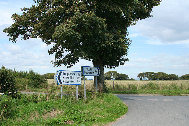
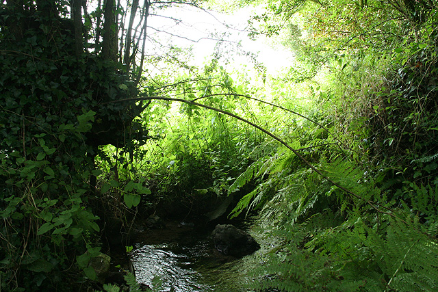
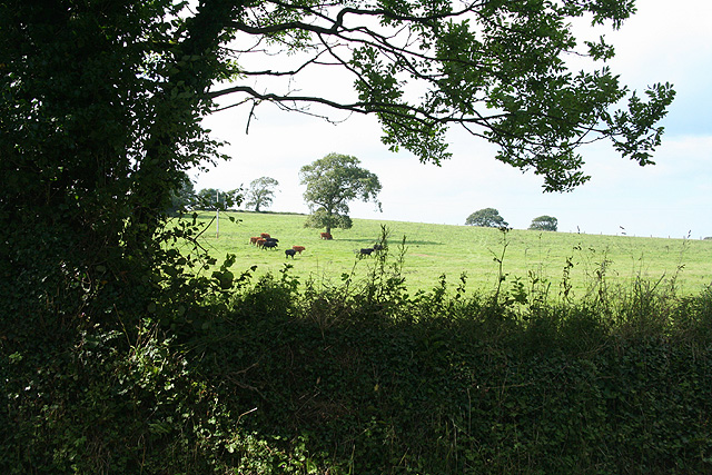
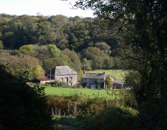
Petherwin is a small village located in the southern region of Cornwall, England. It is situated within the civil parish of North Hill and lies approximately 6 miles (9.7 km) southwest of Launceston, the nearest town. Petherwin is surrounded by picturesque countryside, with rolling hills and green fields that showcase the natural beauty of this rural area.
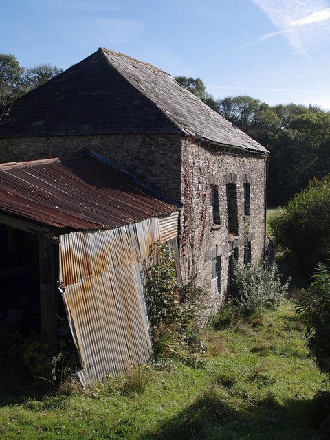
The village itself is characterized by its quaint charm and a tight-knit community. It is home to a small population, with a mix of age groups and generations residing in the area. The village boasts an array of traditional stone cottages and houses, which add to its scenic appeal.
Petherwin offers limited amenities, with a local pub being a prominent feature in the village. This establishment serves as a gathering place for both residents and visitors, offering a warm and friendly atmosphere.
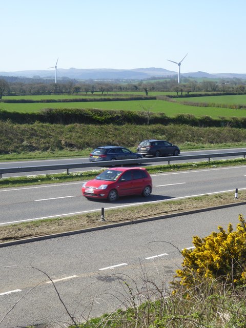
The surrounding area provides ample opportunities for outdoor activities, such as hiking, cycling, and exploring the nearby Bodmin Moor. This vast moorland is known for its rugged landscapes, ancient stone circles, and historical landmarks, including the famous Jamaica Inn.
Overall, Petherwin is an idyllic village that offers a peaceful and rural lifestyle. Its stunning natural surroundings, close-knit community, and proximity to Cornwall's natural attractions make it an attractive location for those seeking tranquility and a connection with nature.
If you have any feedback on the listing, please let us know in the comments section below.
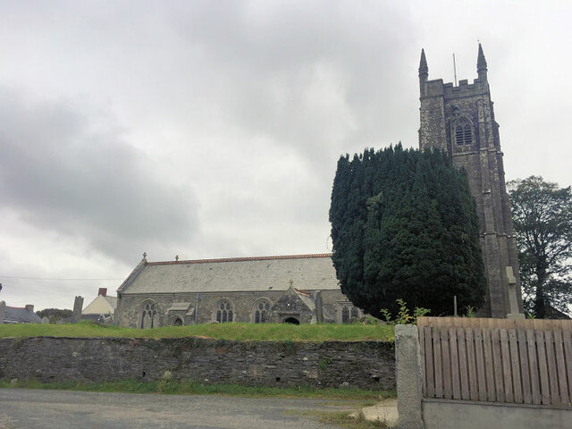
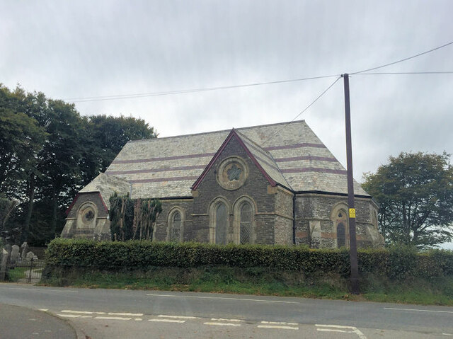
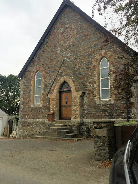
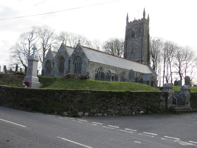
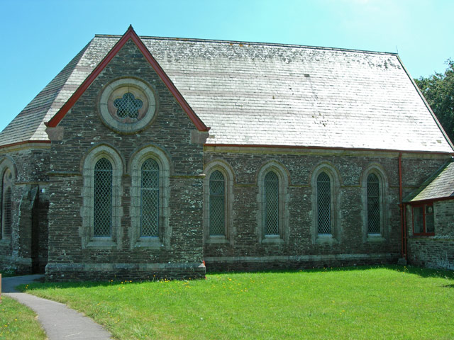
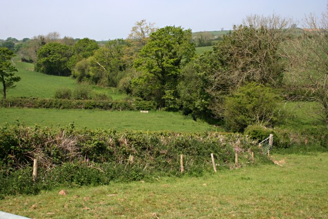
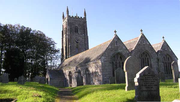
Petherwin, South Images
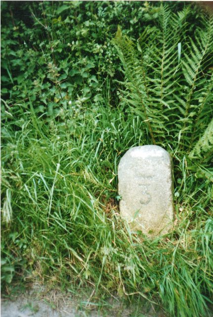
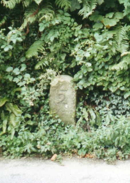
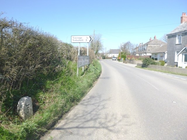
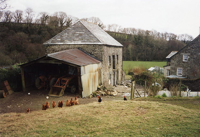
Images are sourced within 2km of 50.611225/-4.393165 or Grid Reference SX3081. Thanks to Geograph Open Source API. All images are credited.
Petherwin, South is located at Grid Ref: SX3081 (Lat: 50.611225, Lng: -4.393165)
Unitary Authority: Cornwall
Police Authority: Devon and Cornwall
What 3 Words
///screening.cuts.history. Near Launceston, Cornwall
Nearby Locations
Related Wikis
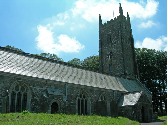
South Petherwin
South Petherwin (Cornish: Paderwynn Dheghow) is a village and civil parish in east Cornwall, England, United Kingdom. It is in the Registration District...

Daw's House
Daw's House is a hamlet in the parish of South Petherwin, Cornwall, England, on the outskirts of the significant town of Launceston. == References ==
Launceston F.C.
Launceston Football Club (Cornish: Klub Pel-droes Lannstevan) is a football club based in Launceston, Cornwall, England. They are currently members of...
St Thomas the Apostle Rural
St Thomas the Apostle Rural, also known as St Thomas-by-Launceston (Cornish: Sen Tommos Lannstefan) is a civil parish in east Cornwall, England, United...
Nearby Amenities
Located within 500m of 50.611225,-4.393165Have you been to Petherwin, South?
Leave your review of Petherwin, South below (or comments, questions and feedback).