Blore
Settlement in Staffordshire Newcastle-under-Lyme
England
Blore

Blore is a small village located in the Staffordshire Moorlands district of Staffordshire, England. It is situated about 6 miles north of the town of Ashbourne and is nestled in the picturesque countryside of the Peak District National Park.
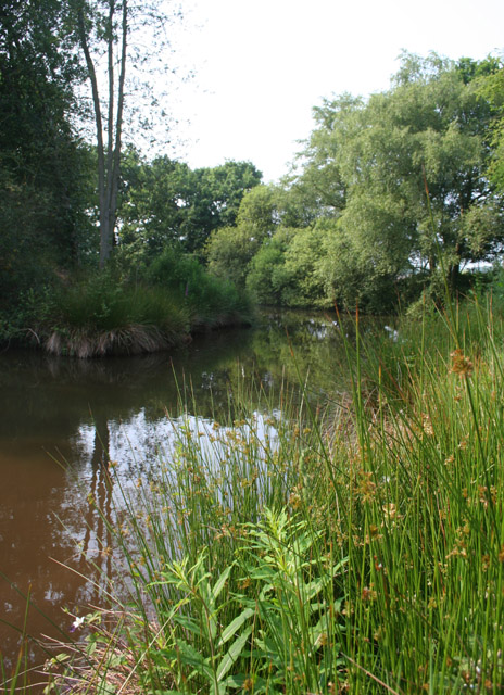
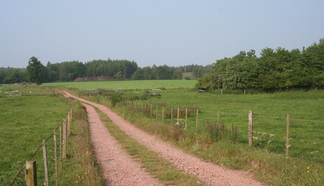
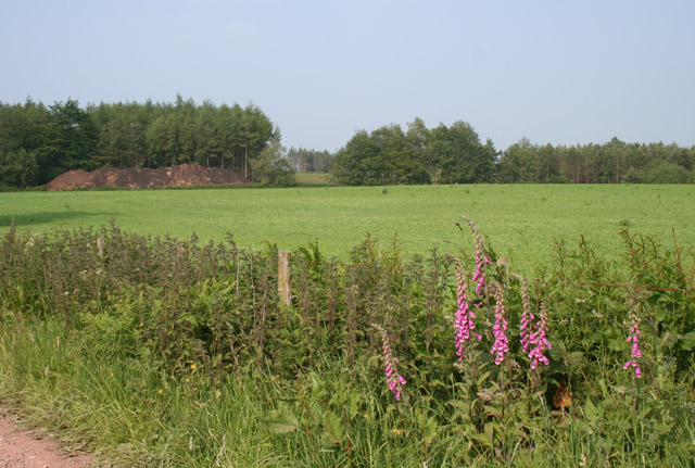
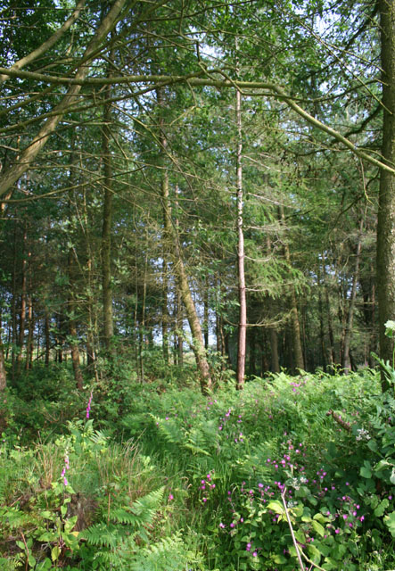
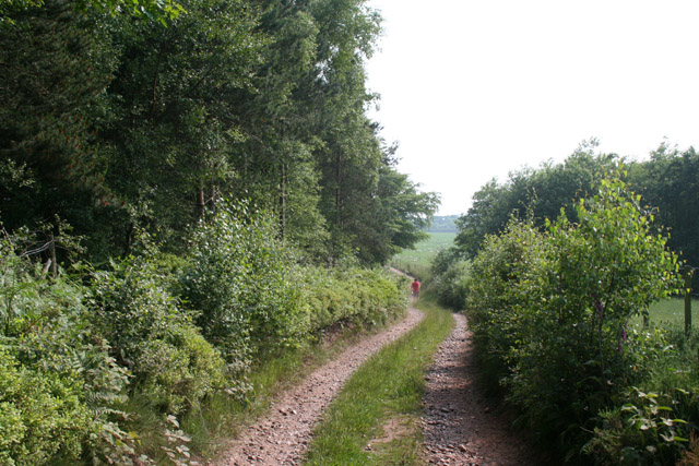
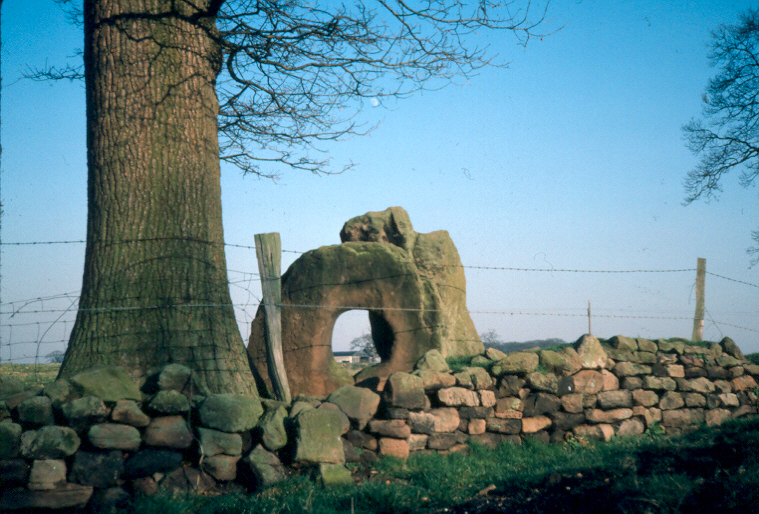
The village is known for its charming and idyllic rural setting, with rolling hills, lush green fields, and beautiful landscapes that attract nature enthusiasts, hikers, and cyclists. Blore is surrounded by several other small villages, including Okeover, Calton, and Thorpe, each offering their own distinct character and attractions.
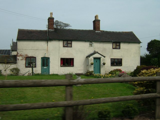
Historically, Blore has been a settlement for centuries and is mentioned in the Domesday Book of 1086. The village is home to Blore Hall, a Grade I listed building that dates back to the 16th century. This historic manor house is renowned for its Tudor architecture and is surrounded by stunning gardens, making it a popular tourist attraction.
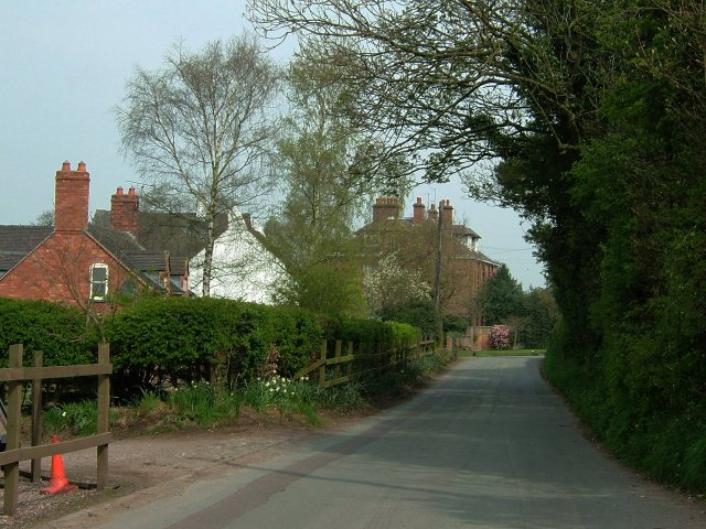
In addition to its historical significance, Blore also offers a range of amenities for residents and visitors. These include a village hall, a church, and a pub, providing a sense of community and a place for social gatherings.
Overall, Blore, Staffordshire, offers a tranquil and picturesque setting, steeped in history and natural beauty. Whether exploring the countryside, visiting historic landmarks, or simply enjoying the peaceful surroundings, Blore is a charming destination for those seeking a taste of rural England.
If you have any feedback on the listing, please let us know in the comments section below.
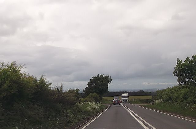
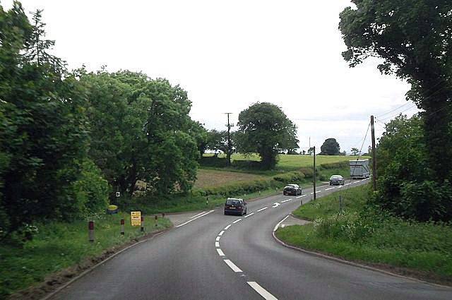
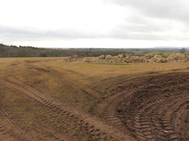
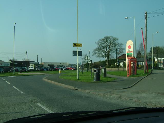
Blore Images
Images are sourced within 2km of 52.907983/-2.416021 or Grid Reference SJ7234. Thanks to Geograph Open Source API. All images are credited.


Blore is located at Grid Ref: SJ7234 (Lat: 52.907983, Lng: -2.416021)
Administrative County: Staffordshire
District: Newcastle-under-Lyme
Police Authority: Staffordshire
What 3 Words
///snacking.bounded.pegs. Near Market Drayton, Shropshire
Nearby Locations
Related Wikis

Blore Heath Rural District
Blore Heath was a rural district in Staffordshire, England from 1894 to 1932. It was created under the Local Government Act 1894 from that part of the...

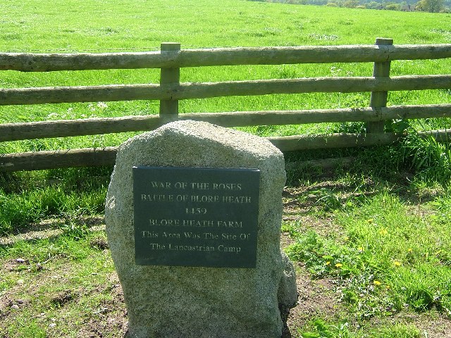
Battle of Blore Heath
The Battle of Blore Heath was a battle in the English Wars of the Roses that was fought on 23 September 1459, at Blore Heath, Staffordshire. Blore Heath...

Audley's Cross
Audley's Cross is a cross sited in Blore Heath, Staffordshire to mark the spot on which James Touchet, Lord Audley was killed at the battle of Blore Heath...

Hales, Staffordshire
Hales is a village in Staffordshire approximately 2 miles east of Market Drayton. Population details as taken at the 2011 census can be found under Loggerheads...
Almington
Almington is a small village in Staffordshire, England. It is about 2 miles (3.2 km) east-northeast of Market Drayton by road, to the northwest of the...
Oakley, Staffordshire
Oakley is a hamlet in Staffordshire, England. It is within Mucklestone ward of Loggerheads Parish. Oakley Hall, a former seat of the Chetwode family, is...
Loggerheads, Staffordshire
Loggerheads is a village and civil parish in north-west Staffordshire, England, on the A53 between Market Drayton and Newcastle-under-Lyme. == Name... ==
Mucklestone
Mucklestone is a village and former civil parish, now in the parish of Loggerheads, in the Newcastle-under-Lyme district, in the county of Staffordshire...
Nearby Amenities
Located within 500m of 52.907983,-2.416021Have you been to Blore?
Leave your review of Blore below (or comments, questions and feedback).