Gyle, South
Settlement in Midlothian
Scotland
Gyle, South

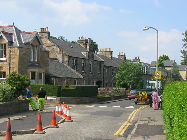
Gyle is a district located in the south of Midlothian, Scotland. Situated just southwest of the capital city of Edinburgh, Gyle is a primarily residential area with a population of approximately 10,000 residents. The district is bounded by the Water of Leith to the east and the City of Edinburgh Bypass (A720) to the south, providing convenient transport links to both the city center and other parts of Midlothian.
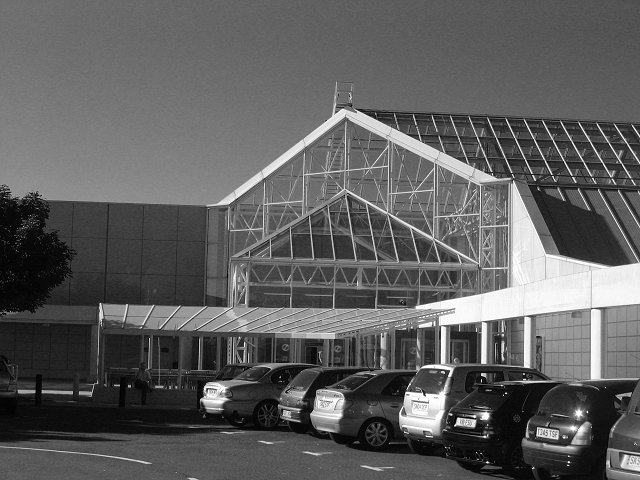
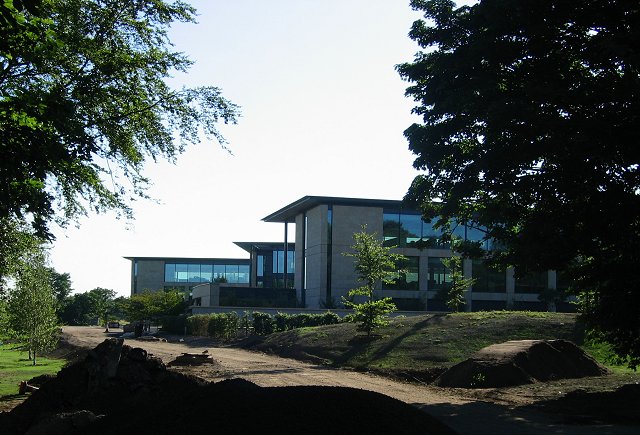
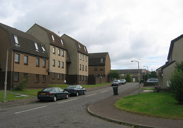
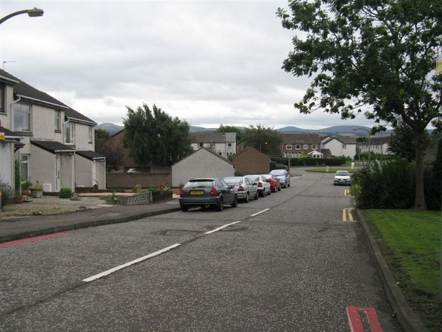
Gyle is known for its modern housing developments, offering a mix of detached houses, townhouses, and apartments. The area is popular with families due to its proximity to various amenities and green spaces. Residents of Gyle can enjoy the nearby Gyle Shopping Centre, which features a range of retail stores, restaurants, and a cinema. There are also several supermarkets, including a large Tesco Extra, providing ample shopping options for residents.
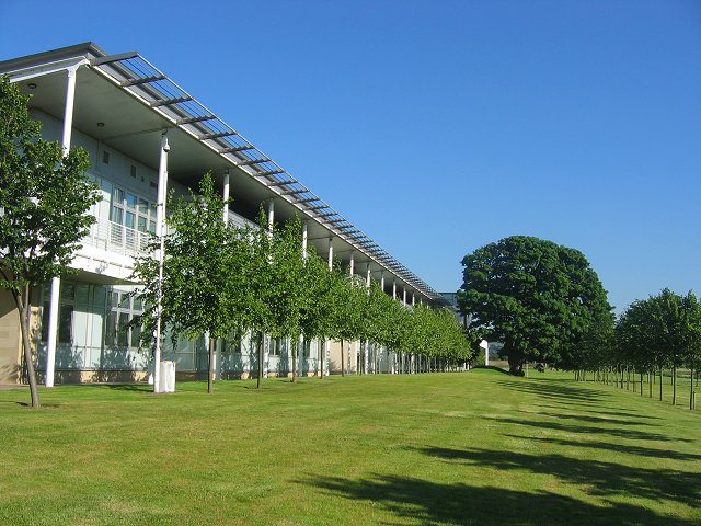
For those seeking outdoor activities, Gyle benefits from its surroundings, with numerous parks and green spaces within easy reach. Nearby Corstorphine Hill offers stunning views over Edinburgh and is a popular spot for walking and picnicking. Additionally, the Water of Leith Walkway runs through Gyle, providing a scenic route for walkers and cyclists.
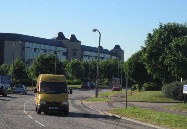
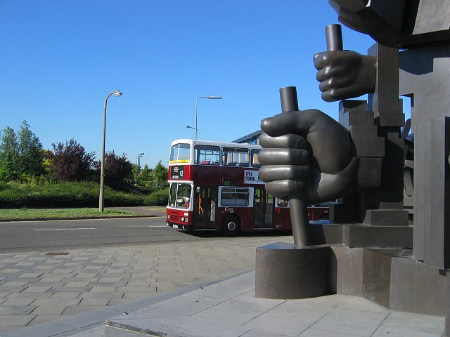
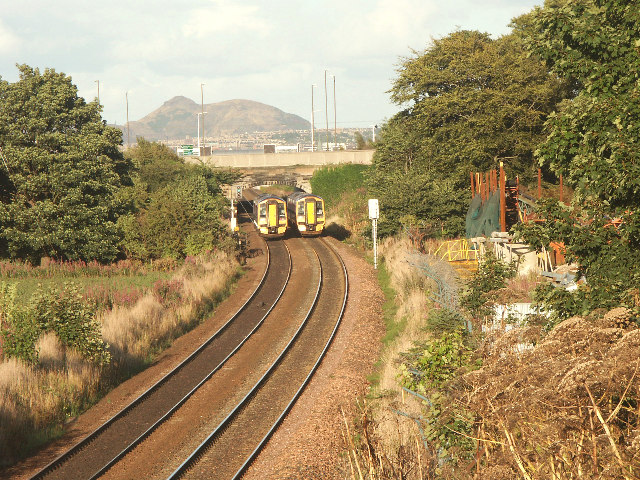
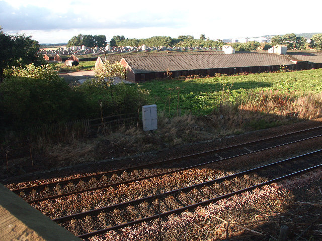
Transportation in Gyle is well-served, with regular bus services connecting the district to Edinburgh city center and other neighboring areas. The Gyle rail station provides convenient access to the city center, as well as destinations further afield.
Overall, Gyle offers a pleasant residential environment with a range of amenities, making it an attractive place to live for both families and professionals working in Edinburgh.
If you have any feedback on the listing, please let us know in the comments section below.
Gyle, South Images
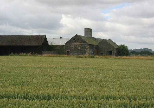
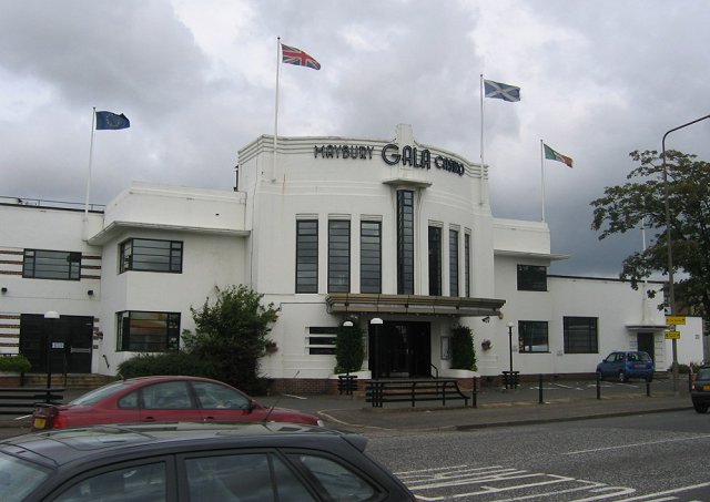
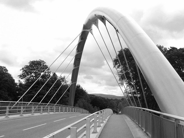
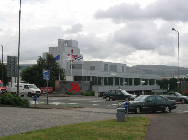
Images are sourced within 2km of 55.933557/-3.3071622 or Grid Reference NT1871. Thanks to Geograph Open Source API. All images are credited.


Gyle, South is located at Grid Ref: NT1871 (Lat: 55.933557, Lng: -3.3071622)
Unitary Authority: City of Edinburgh
Police Authority: Edinburgh
What 3 Words
///cable.inch.swaps. Near Currie, Edinburgh
Nearby Locations
Related Wikis

Gogarloch
Gogarloch is a residential area within South Gyle, Edinburgh, Scotland. It lies near South Gyle railway station and South Gyle Broadway, 4+1⁄2 miles (7...
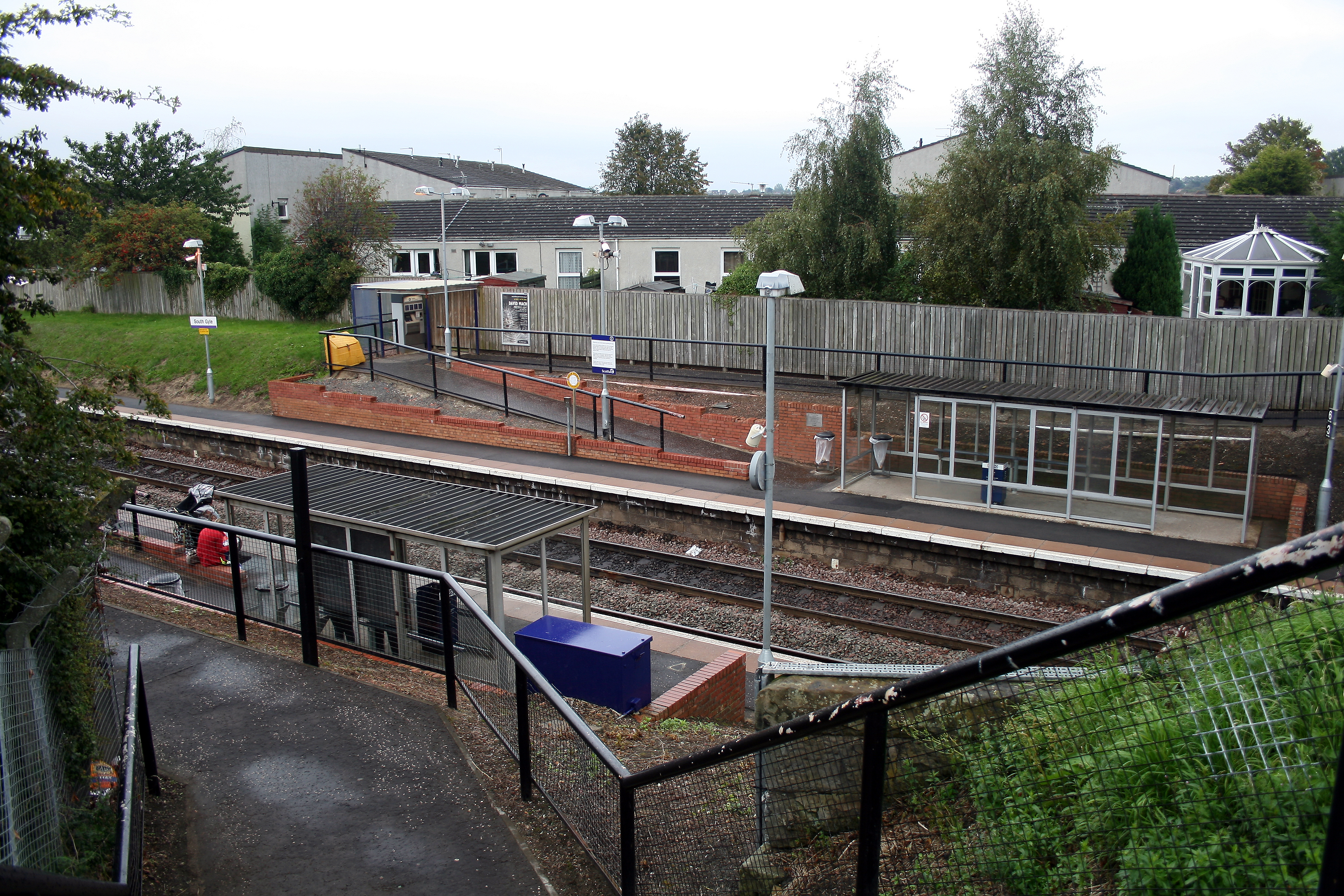
South Gyle railway station
South Gyle railway station is a railway station serving South Gyle in the City of Edinburgh, Scotland. The station was opened on 9 May 1985 by ScotRail...
South Gyle
South Gyle (pronounced ) is an area of Edinburgh, Scotland, lying on the western edge of the city and to the south and west of an area of former marshland...
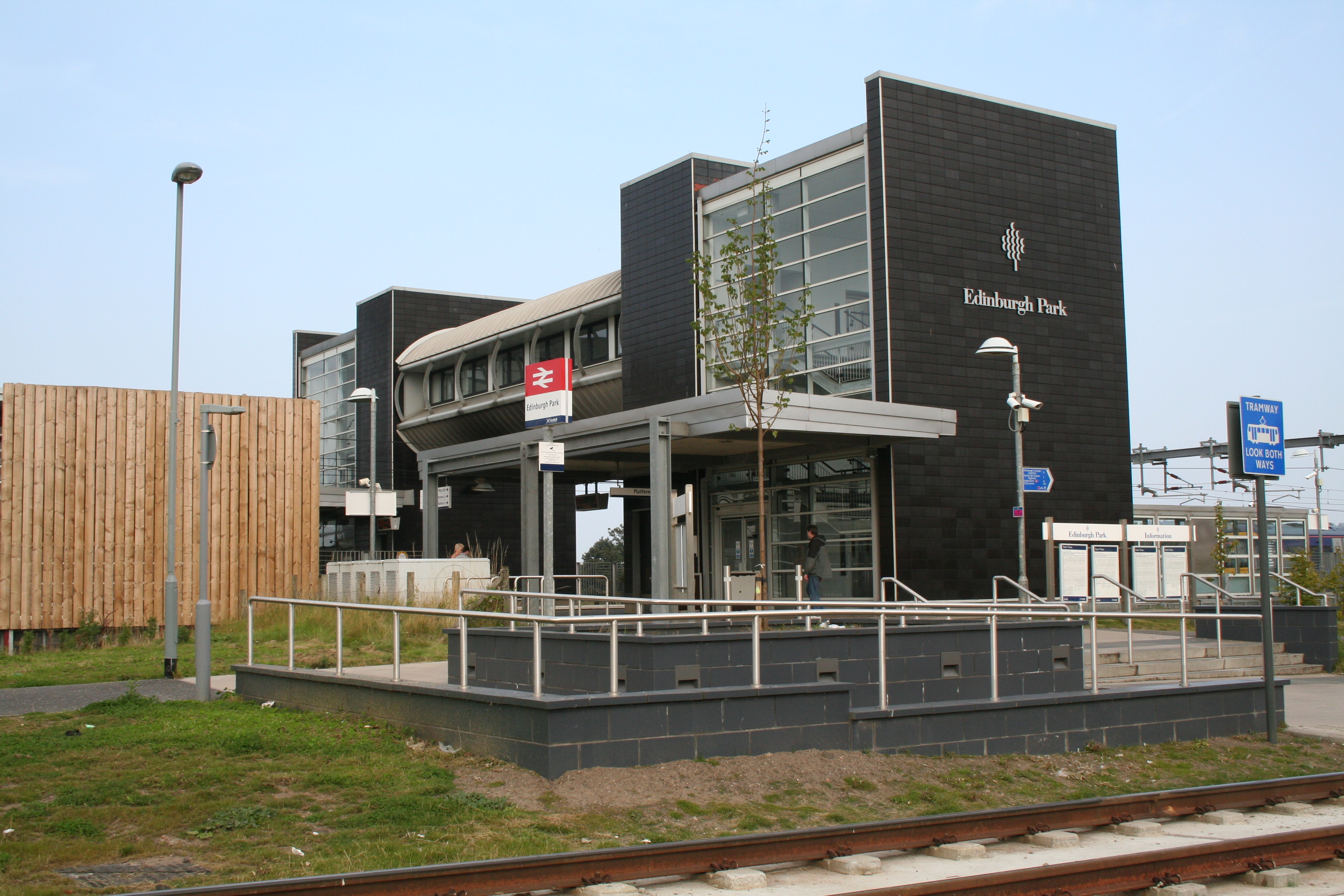
Edinburgh Park station
Edinburgh Park railway station is a railway station in the west of Edinburgh, Scotland, serving the Edinburgh Park business park and the Hermiston Gait...
Nearby Amenities
Located within 500m of 55.933557,-3.3071622Have you been to Gyle, South?
Leave your review of Gyle, South below (or comments, questions and feedback).