South Green
Settlement in Kent Maidstone
England
South Green

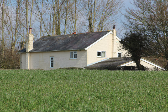
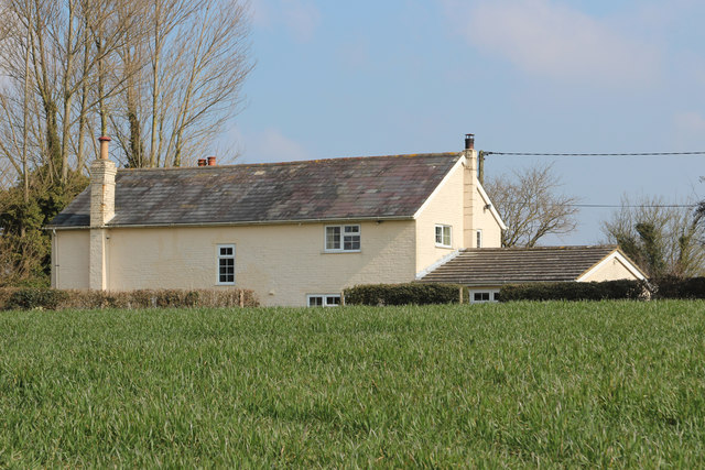
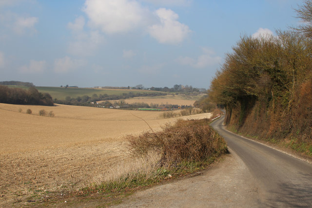
South Green is a picturesque village located in the county of Kent, England. Situated approximately 10 miles southeast of the town of Chelmsford, it is a rural settlement surrounded by beautiful countryside and rolling fields. The village is known for its tranquil atmosphere and charming character, making it a popular destination for those seeking a peaceful retreat.
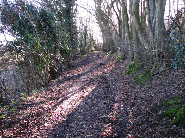
One of the defining features of South Green is its quaint village green, which serves as the heart of the community. Here, locals and visitors can enjoy a leisurely stroll or a picnic while admiring the well-maintained greenery and traditional English cottages that line the area.
The village is home to a close-knit community, with a small population of around 500 residents. Despite its size, South Green offers a range of amenities to cater to the needs of its inhabitants. These include a local pub, a primary school, a village hall, and a few small shops. Additionally, the nearby town of Chelmsford provides further services and facilities for those living in South Green.
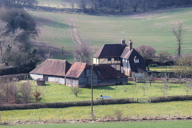
The surrounding countryside offers ample opportunities for outdoor activities such as hiking, cycling, and horse riding. The area is also rich in wildlife, with numerous nature reserves and parks nearby, making it an ideal location for nature enthusiasts.
Overall, South Green, Kent, is a charming village that offers a peaceful and idyllic setting for residents and visitors alike. Its beautiful surroundings, strong community spirit, and convenient location make it a desirable place to call home.
If you have any feedback on the listing, please let us know in the comments section below.
South Green Images
Images are sourced within 2km of 51.309982/0.656418 or Grid Reference TQ8560. Thanks to Geograph Open Source API. All images are credited.


South Green is located at Grid Ref: TQ8560 (Lat: 51.309982, Lng: 0.656418)
Administrative County: Kent
District: Maidstone
Police Authority: Kent
What 3 Words
///bleak.responses.slides. Near Newington, Kent
Nearby Locations
Related Wikis

Stockbury
Stockbury is a village and civil parish in the Maidstone district of Kent, England. The population of the civil parish at the Census 2011 was 691.In 1800...
St Mary Magdalene Church, Stockbury
St Mary Magdalene is a parish church in Stockbury, Kent built in the late 12th century with additions in the 13th and 15th centuries and restoration in...

Stockbury Hill Wood
Stockbury Hill Wood is a 5-hectare (12-acre) nature reserve near Stockbury, north-east of Maidstone in Kent. It is managed by the Kent Wildlife Trust...

Bicknor
Bicknor is a village and civil parish in the Maidstone district of Kent, England, north-east of Maidstone and south-west of Sittingbourne. It had a population...
Nearby Amenities
Located within 500m of 51.309982,0.656418Have you been to South Green?
Leave your review of South Green below (or comments, questions and feedback).