South Cookney
Settlement in Kincardineshire
Scotland
South Cookney

South Cookney is a small village located in the Kincardineshire region of Scotland. It is situated approximately 10 miles southwest of the town of Stonehaven and 20 miles south of Aberdeen. With a population of around 200 residents, it is a close-knit community that offers a peaceful and rural setting.
The village is nestled amidst picturesque countryside, surrounded by rolling hills and farmland. It is known for its stunning natural beauty, attracting outdoor enthusiasts and nature lovers. The nearby River Cowie flows through the village, providing opportunities for fishing and leisurely walks along its banks.
South Cookney has a rich history, with evidence of settlements dating back to ancient times. The area was once predominantly agricultural, and remnants of traditional farming practices can still be seen today. The village has a charming mix of old stone cottages, some of which have been lovingly restored, adding to its quaint and timeless appeal.
Despite its small size, South Cookney has a strong sense of community. The village is home to a local primary school, ensuring educational opportunities for its younger residents. There is also a small community center that hosts various events and gatherings throughout the year, fostering a sense of togetherness.
While lacking in amenities such as shops and restaurants, South Cookney benefits from its proximity to nearby towns and cities. Residents can easily access a wider range of services and facilities within a short drive.
Overall, South Cookney offers a tranquil and idyllic lifestyle, making it an attractive place to live for those seeking a peaceful retreat in the beautiful Scottish countryside.
If you have any feedback on the listing, please let us know in the comments section below.
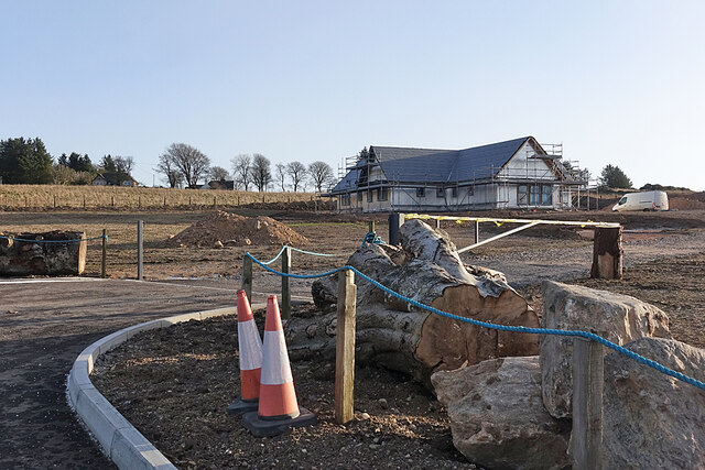
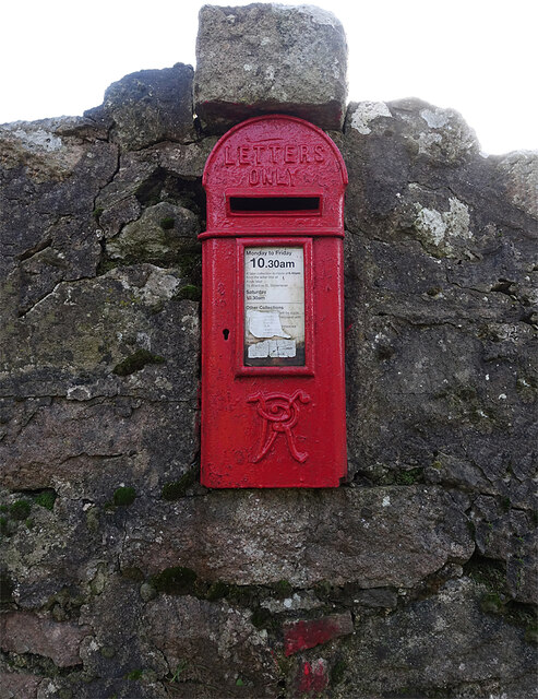
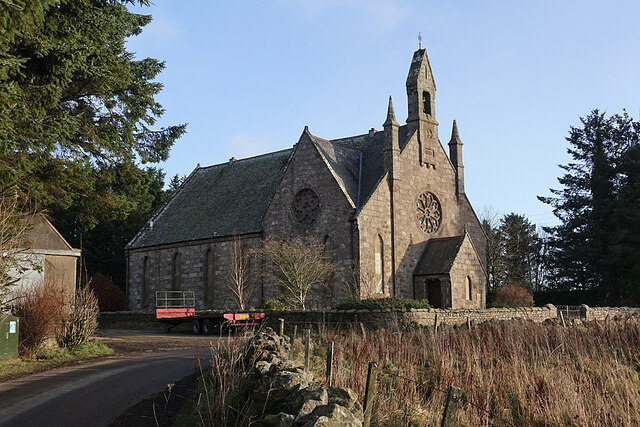
South Cookney Images
Images are sourced within 2km of 57.018912/-2.2322001 or Grid Reference NO8692. Thanks to Geograph Open Source API. All images are credited.


South Cookney is located at Grid Ref: NO8692 (Lat: 57.018912, Lng: -2.2322001)
Unitary Authority: Aberdeenshire
Police Authority: North East
What 3 Words
///snips.cultivation.prospered. Near Newtonhill, Aberdeenshire
Nearby Locations
Related Wikis

Craggie Cat
Craggie Cat is a hill landform in the Mounth of the Grampian Mountains at the southern edge of Netherley, Aberdeenshire, Scotland. The peak elevation...

Netherley, Aberdeenshire
Netherley, Scotland is a village in Aberdeenshire, situated approximately five miles northwest of Stonehaven. Netherley is located in the Mounth area...
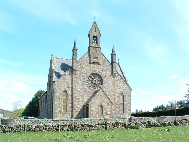
Cookney Church
Cookney Parish Church, now business premises within a converted listed building, was a Christian place of worship in the village of Cookney, Aberdeenshire...
Hill of Muchalls
The Hill of Muchalls is a coastal mountainous landform situated approximately 1.4 kilometres west of the Bridge of Muchalls in Aberdeenshire, Scotland...
Red Moss, Aberdeenshire
Red Moss is a wetland bog in Aberdeenshire, Scotland, located at the northwestern edge of the village of Netherley. (Grid Reference NO 955 856) The moss...

Netherley House
Netherley House is a mansion built by Alexander Silver in the late 18th century in Netherley, Aberdeenshire, Scotland. It is situated near the northerly...
Curlethney Hill
Curlethney Hill is a landform in Aberdeenshire, Scotland within the Mounth Range of the Grampian Mountains. (Grid Reference NO 918 839) The peak elevation...
Cookney
Cookney is a hamlet in Aberdeenshire, Scotland in proximity to Netherley in the Mounth of the Grampian Highlands. The community is situated on a hilltop...
Nearby Amenities
Located within 500m of 57.018912,-2.2322001Have you been to South Cookney?
Leave your review of South Cookney below (or comments, questions and feedback).