South Cockerington

Settlement in Lincolnshire East Lindsey

England

South Cockerington

The view towards Grimoldby Ings
The view towards Grimoldby Ings Credit: Andy Beecroft

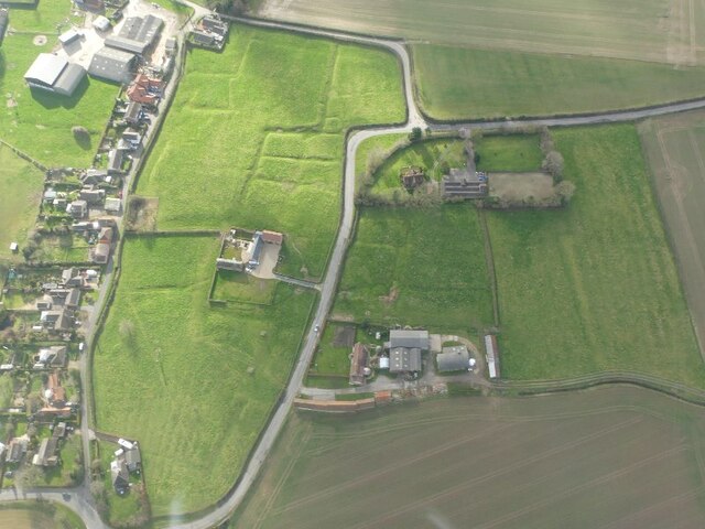
South Cockerington is a small village located in the East Lindsey district of Lincolnshire, England. Situated approximately 8 miles east of Louth, it has a population of around 200 residents. The village is known for its picturesque countryside, charming rural character, and close-knit community.

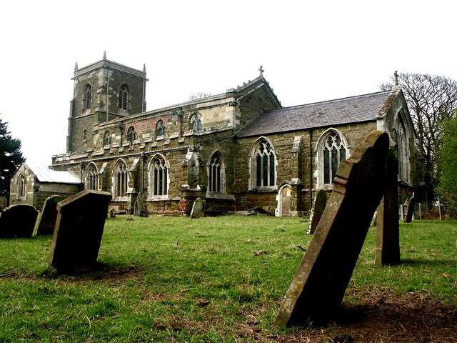
South Cockerington boasts a rich history, dating back to the Domesday Book of 1086. It has retained much of its traditional charm, with many historic buildings and landmarks still standing. St. Leonard's Church, a Grade II listed building, is a prominent feature of the village, showcasing beautiful architecture and a peaceful atmosphere.

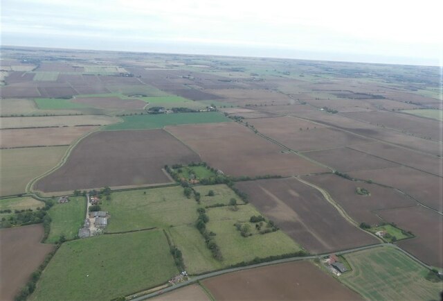
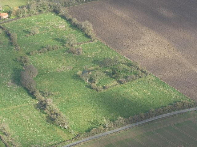
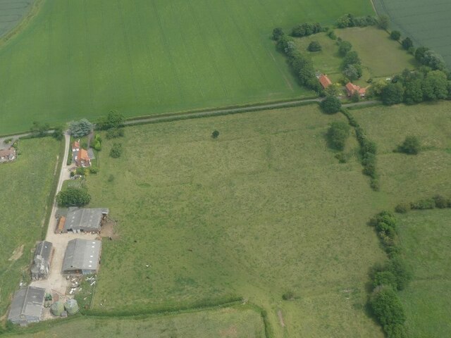
The village is surrounded by stunning natural landscapes, including rolling hills, fertile farmland, and meandering streams. The countryside provides ample opportunities for outdoor activities such as hiking, cycling, and wildlife spotting. The nearby Lincolnshire Wolds, an Area of Outstanding Natural Beauty, offers breathtaking views and a tranquil escape from the hustle and bustle of city life.

Despite its small size, South Cockerington has a strong sense of community spirit. The village has a local pub, The Three Horseshoes, which serves as a gathering place for residents and visitors alike. It also has a village hall, hosting various social events and activities throughout the year.

In terms of amenities and services, South Cockerington has limited options. However, with its close proximity to Louth, residents have convenient access to a wider range of shops, supermarkets, schools, and healthcare facilities.

Overall, South Cockerington is a charming and idyllic village that offers a peaceful rural lifestyle and a close-knit community, making it an attractive place to live for those seeking a tranquil countryside setting.

If you have any feedback on the listing, please let us know in the comments section below.

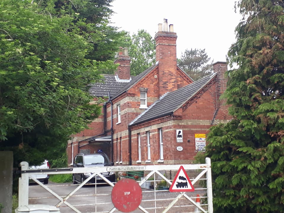
South Cockerington Images

Images are sourced within 2km of 53.380041/0.077263 or Grid Reference TF3889. Thanks to Geograph Open Source API. All images are credited.

The view towards Grimoldby Ings
The Lancaster Inn The sign above the door has seen better days.
The Lancaster Inn
The sign above the door has seen better days.
The sign of The Lancaster Inn See: <a href="https://www.geograph.org.uk/photo/6933804">TF3987 : The Lancaster Inn</a>
The sign of The Lancaster Inn
A jet provost model Serving as a village sign due to the former dominance of RAF Manby.  See: <a href="https://www.geograph.org.uk/photo/3728949">TF3987 : A sign for Grimoldby and Manby</a>
A jet provost model
Serving as a village sign due to the former dominance of RAF Manby. See: TF3987 : A sign for Grimoldby and Manby
Settlement of North Cockerington: aerial 2021 The settlement of North Cockerington (also known as Cockerington St Mary) is first documented in the Domesday Book, and therefore probably has its origins in the Anglo-Saxon period. See: <span class="nowrap"><a title="https://www.heritagegateway.org.uk/Gateway/Results_Single.aspx?uid=MLI83365&resourceID=1006" rel="nofollow ugc noopener" href="https://www.heritagegateway.org.uk/Gateway/Results_Single.aspx?uid=MLI83365&resourceID=1006">Link</a><img style="margin-left:2px;" alt="External link" title="External link - shift click to open in new window" src="https://s1.geograph.org.uk/img/external.png" width="10" height="10"/></span>

Included is the moated site of North Cockerington Hall, top left: <span class="nowrap"><a title="https://www.heritagegateway.org.uk/Gateway/Results_Single.aspx?uid=836a927c-5934-4ece-8686-5cfd98bd67fe&resourceID=19191" rel="nofollow ugc noopener" href="https://www.heritagegateway.org.uk/Gateway/Results_Single.aspx?uid=836a927c-5934-4ece-8686-5cfd98bd67fe&resourceID=19191">Link</a><img style="margin-left:2px;" alt="External link" title="External link - shift click to open in new window" src="https://s1.geograph.org.uk/img/external.png" width="10" height="10"/></span>

Very unfortunately, the brown field to the right do the moated site used also to contain earthworks, but these have now been completely ploughed out.
Settlement of North Cockerington: aerial 2021
The settlement of North Cockerington (also known as Cockerington St Mary) is first documented in the Domesday Book, and therefore probably has its origins in the Anglo-Saxon period. See: LinkExternal link Included is the moated site of North Cockerington Hall, top left: LinkExternal link Very unfortunately, the brown field to the right do the moated site used also to contain earthworks, but these have now been completely ploughed out.
Flush Bracket OSBM S3056: Manby This flush bracket benchmark is partly hidden by a drain pipe on the frontage of the Co-op shop.  See <a title="https://www.geograph.org.uk/photo/7004330" href="https://www.geograph.org.uk/photo/7004330">Link</a> for a wider view and <span class="nowrap"><a title="https://www.bench-marks.org.uk/bm19337" rel="nofollow ugc noopener" href="https://www.bench-marks.org.uk/bm19337">Link</a><img style="margin-left:2px;" alt="External link" title="External link - shift click to open in new window" src="https://s1.geograph.org.uk/img/external.png" width="10" height="10"/></span> for details.
Flush Bracket OSBM S3056: Manby
This flush bracket benchmark is partly hidden by a drain pipe on the frontage of the Co-op shop. See Link for a wider view and LinkExternal link for details.
The Co-op Shop in Manby On the near angle is a flush bracket benchmark partly hidden by a drain pipe on the frontage of the Co-op shop.  See <a title="https://www.geograph.org.uk/photo/7004327" href="https://www.geograph.org.uk/photo/7004327">Link</a> for a closer view and <span class="nowrap"><a title="https://www.bench-marks.org.uk/bm19337" rel="nofollow ugc noopener" href="https://www.bench-marks.org.uk/bm19337">Link</a><img style="margin-left:2px;" alt="External link" title="External link - shift click to open in new window" src="https://s1.geograph.org.uk/img/external.png" width="10" height="10"/></span> for details.
The Co-op Shop in Manby
On the near angle is a flush bracket benchmark partly hidden by a drain pipe on the frontage of the Co-op shop. See Link for a closer view and LinkExternal link for details.
Soil- and cropmark remains of South Cockerington Medieval Settlement: aerial 2022
Settlement of South Cockerington: aerial 2022 (1)
Moated site and boundary ditches, North Cockerington: aerial 2022
Settlement of Grimoldby: aerial 2022 See: <span class="nowrap"><a title="https://www.heritagegateway.org.uk/Gateway/Results_Single.aspx?uid=MLI88070&resourceID=1006" rel="nofollow ugc noopener" href="https://www.heritagegateway.org.uk/Gateway/Results_Single.aspx?uid=MLI88070&resourceID=1006">Link</a><img style="margin-left:2px;" alt="External link" title="External link - shift click to open in new window" src="https://s1.geograph.org.uk/img/external.png" width="10" height="10"/></span>
Settlement of Grimoldby: aerial 2022
See: LinkExternal link
Settlement of South Cockerington: aerial 2022 (2) See: <a href="https://www.geograph.org.uk/photo/7144768">TF3789 : Settlement of South Cockerington: aerial 2022 (1)</a> and <span class="nowrap"><a title="https://www.heritagegateway.org.uk/Gateway/Results_Single.aspx?uid=MLI43243&resourceID=1006" rel="nofollow ugc noopener" href="https://www.heritagegateway.org.uk/Gateway/Results_Single.aspx?uid=MLI43243&resourceID=1006">Link</a><img style="margin-left:2px;" alt="External link" title="External link - shift click to open in new window" src="https://s1.geograph.org.uk/img/external.png" width="10" height="10"/></span>
Settlement of South Cockerington: aerial 2022 (2)
Grimoldby: aerial 2022
North Cockerington: aerial 2022
Track off Middlesykes Lane, Grimoldby
Old Mill Lane, Grimoldby
Old Mill Lane near The Griff, Grimoldby
Field of ripening barley near Grimoldby
Show me another place!

South Cockerington is located at Grid Ref: TF3889 (Lat: 53.380041, Lng: 0.077263)

Division: Parts of Lindsey

Administrative County: Lincolnshire

District: East Lindsey

Police Authority: Lincolnshire

What 3 Words

///gobblers.either.those. Near Manby, Lincolnshire

Related Wikis

South Cockerington

South Cockerington is a village and civil parish in the East Lindsey district of Lincolnshire, England. It is situated approximately 4 miles (6 km) east...

Grimoldby railway station

Grimoldy railway station was a station in Grimoldby, Lincolnshire; opened in 1877 by the Louth and East Coast Railway; and closed in 1960. == References ==

Grimoldby

Grimoldby is a village and civil parish in the East Lindsey district of Lincolnshire, England. It is situated 4 miles (6 km) east from Louth. Grimoldby...
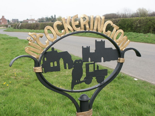
North Cockerington

North Cockerington is a small village and civil parish in the East Lindsey district of Lincolnshire, England. It is situated approximately 3 miles (5 km...

Nearby Amenities

Located within 500m of 53.380041,0.077263
South Cockerington
Is In: Lincolnshire, England, UK
Place: village
Source: npe
Lat/Long: 53.3800101/0.0739265
Bus Stop
Marsh Lane
Naptan AtcoCode: 2700LSCB1728
Naptan Bearing: SW
Naptan CommonName: Marsh Lane
Naptan Indicator: adj
Naptan Landmark: Marsh Lane
Naptan NaptanCode: linamjpd
Naptan Street: Mill Hill Way
Naptan Verified: no
Source: naptan_import
Lat/Long: 53.3818563/0.0758825
Bus Stop
Chapel Lane
Naptan AtcoCode: 2700LSCC1729
Naptan Bearing: NE
Naptan CommonName: Chapel Lane
Naptan Indicator: adj
Naptan Landmark: Chapel Lane
Naptan NaptanCode: linamjpg
Naptan Street: Mill Hill Way
Naptan Verified: no
Source: naptan_import
Lat/Long: 53.3816638/0.0755952
Mill Hill
Place: locality
Source: Bing
Lat/Long: 53.383551/0.0813719
South View Farm
Place: farm
Source: Bing
Lat/Long: 53.3788046/0.0710353
West View Farm
Place: farm
Source: Bing
Lat/Long: 53.379481/0.0762544
Generator Method: photovoltaic
Generator Output Electricity: yes
Generator Source: solar
Generator Type: solar_photovoltaic_panel
Location: roof
Power: generator
Lat/Long: 53.3805832/0.0724538
Generator Method: photovoltaic
Generator Output Electricity: yes
Generator Source: solar
Generator Type: solar_photovoltaic_panel
Location: roof
Power: generator
Lat/Long: 53.3790489/0.0742428
Generator Method: photovoltaic
Generator Output Electricity: yes
Generator Source: solar
Generator Type: solar_photovoltaic_panel
Location: roof
Power: generator
Lat/Long: 53.3789913/0.0740711
Generator Method: photovoltaic
Generator Output Electricity: yes
Generator Source: solar
Generator Type: solar_photovoltaic_panel
Location: roof
Power: generator
Lat/Long: 53.3793272/0.0753371
West View Bed & Breakfast
Addr City: Louth
Addr Country: GB
Addr Housename: West View Farm
Addr Postcode: LN11 7ED
Addr Street: South View Lane
Addr Village: South Cockerington
Fhrs Authority: East Lindsey
Fhrs Id: 637970
Fhrs Local Authority Id: EHFDI/18145/13
Tourism: guest_house
Lat/Long: 53.3795222/0.0752494
Post Box
Collection Times: Mo-Fr 09:00; Sa 07:00
Operator: Royal Mail
Operator Wikidata: Q638098
Post Box Mounting: brick_pillar
Post Box Type: wall
Ref: LN11 23
Royal Cypher: GR
Royal Cypher Wikidata: Q33102273
Lat/Long: 53.3808949/0.0732995
The data included in this document is from www.openstreetmap.org. The data is made available under ODbL.

Have you been to South Cockerington?

Leave your review of South Cockerington below (or comments, questions and feedback).