Blewbury
Settlement in Berkshire Vale of White Horse
England
Blewbury
Blewbury is a charming village located in the county of Berkshire, England. Situated approximately five miles south of Didcot, it is nestled in the picturesque landscape of the North Wessex Downs Area of Outstanding Natural Beauty. The village is known for its idyllic setting, combining rolling hills, lush green fields, and ancient woodlands.
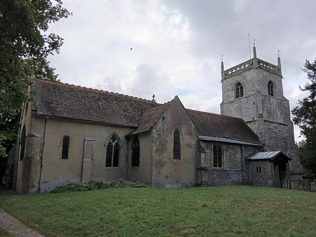
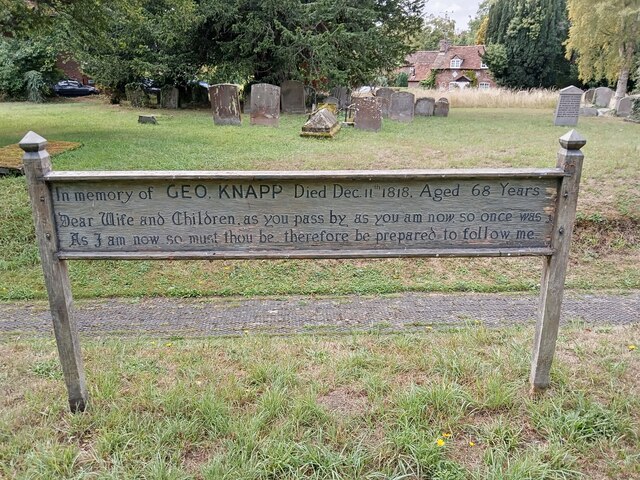
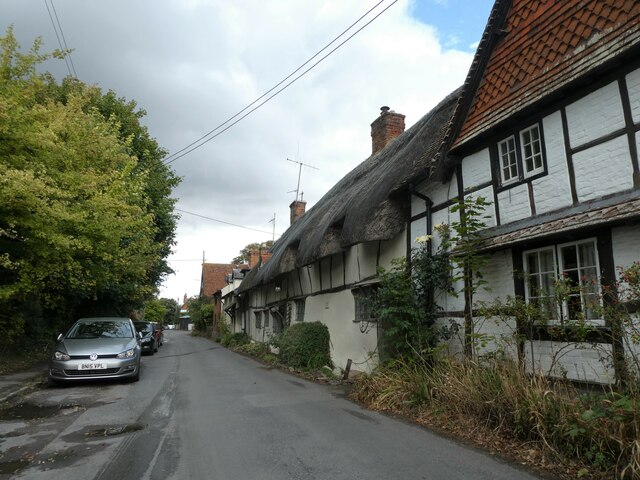
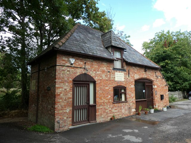
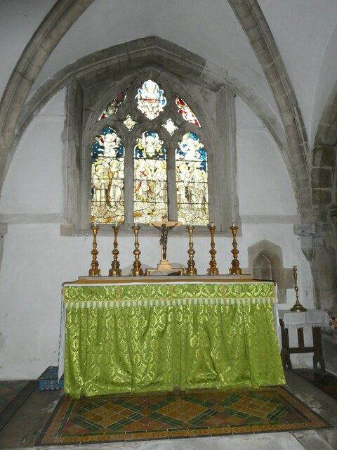
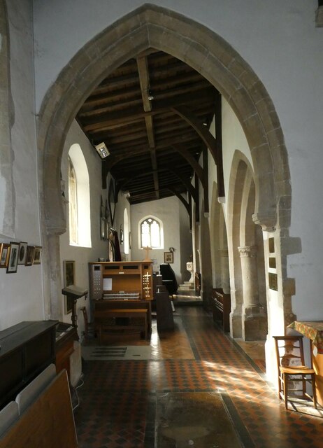
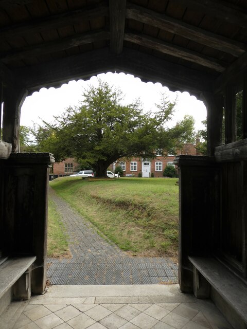
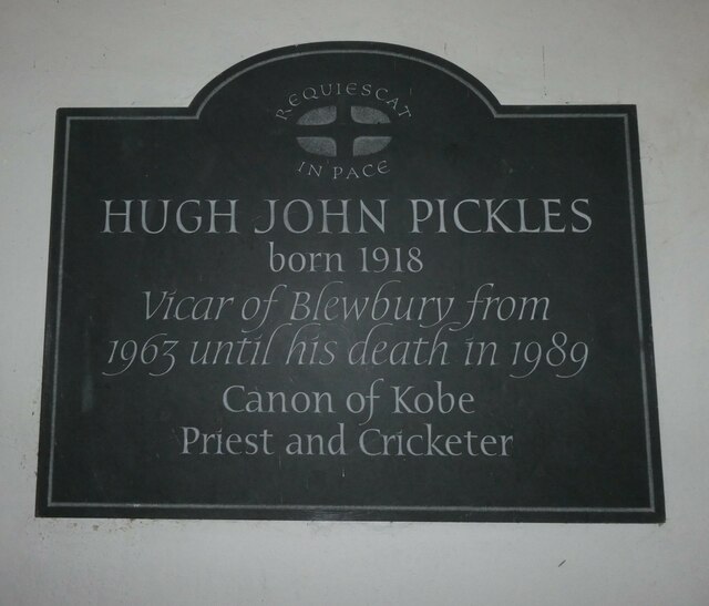
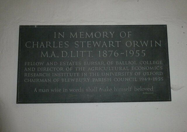
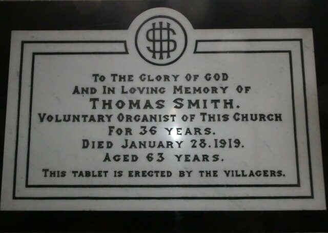
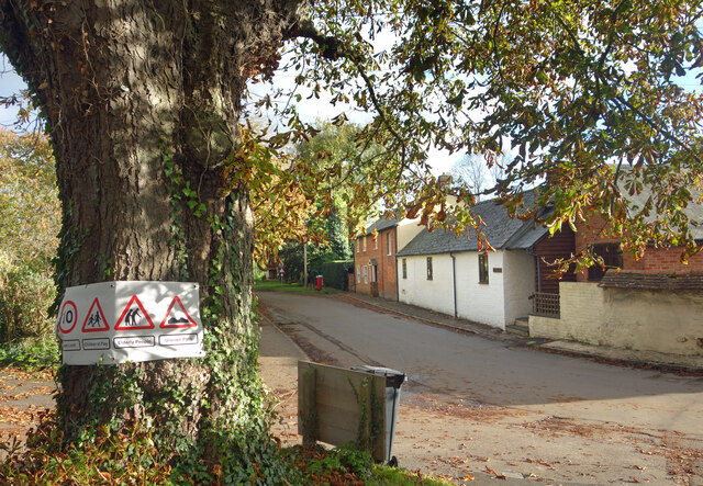
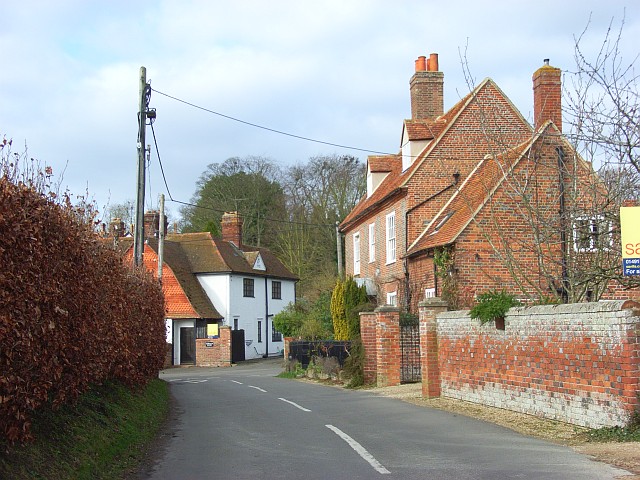
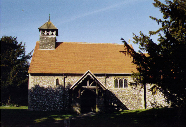
With a population of around 1,600 residents, Blewbury maintains a tight-knit community atmosphere. The village boasts a rich history dating back to the Saxon period, evident in its well-preserved thatched cottages and historic buildings. St. Michael's Church, a 12th-century structure, stands as a prominent landmark and a testament to the village's heritage.
Blewbury offers a range of amenities to cater to its residents. The village is home to a primary school, a post office, a local shop, and a village hall that serves as a hub for community activities. Additionally, there are two traditional country pubs, The Red Lion and The Blueberry, where locals and visitors can enjoy a meal or a pint of ale.
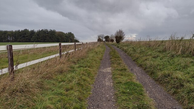
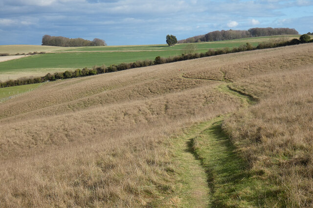
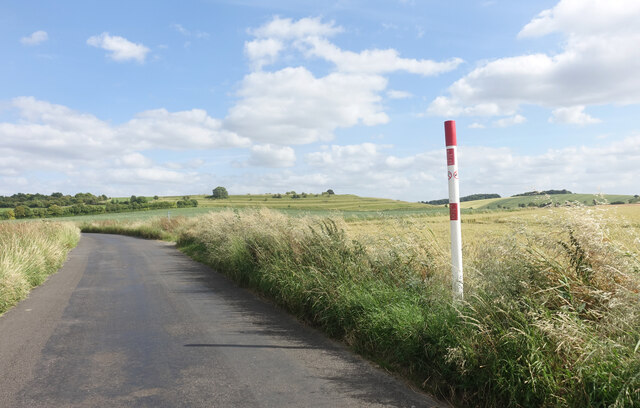
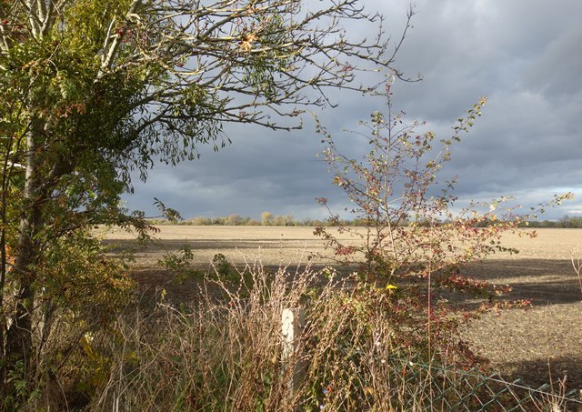
For nature enthusiasts, Blewbury offers ample opportunities for outdoor activities. The surrounding countryside provides scenic walking trails, perfect for exploring the area's natural beauty. Notably, the village is located near the famous Ridgeway, an ancient track that stretches across the county and offers breathtaking views of the Berkshire Downs.
Overall, Blewbury is a delightful village that offers a peaceful and picturesque setting for its residents. With its rich history, community spirit, and access to stunning countryside, it is a truly desirable place to live or visit in Berkshire.
If you have any feedback on the listing, please let us know in the comments section below.
Blewbury Images
Images are sourced within 2km of 51.566314/-1.233205 or Grid Reference SU5385. Thanks to Geograph Open Source API. All images are credited.


Blewbury is located at Grid Ref: SU5385 (Lat: 51.566314, Lng: -1.233205)
Administrative County: Oxfordshire
District: Vale of White Horse
Police Authority: Thames Valley
What 3 Words
///allowable.marine.zipped. Near Blewbury, Oxfordshire
Nearby Locations
Related Wikis

Blewbury
Blewbury is a village and civil parish at the foot of the Berkshire Downs section of the North Wessex Downs about 4 miles (6.4 km) south of Didcot, 14...

Blewburton Hill
Blewburton Hill is the site of an Iron Age hillfort located in Oxfordshire, in the southeast of England. It was a univallate hillfort (with a single rampart...
Aston Upthorpe
Aston Upthorpe is a village and civil parish about 3 miles (5 km) southeast of Didcot in South Oxfordshire. It was part of Berkshire until the 1974 boundary...

Aston Upthorpe Downs
Aston Upthorpe Downs is a 38.5-hectare (95-acre) biological Site of Special Scientific Interest south of Aston Upthorpe in Oxfordshire. It is a Nature...
Upton, Vale of White Horse
Upton is a spring line village and civil parish at the foot of the Berkshire Downs, about 2 miles (3 km) south of Didcot in the Vale of the White Horse...

Aston Tirrold
Aston Tirrold is a village and civil parish at the foot of the Berkshire Downs about 3 miles (5 km) southeast of Didcot. It was part of Berkshire until...

Upton and Blewbury railway station
Upton and Blewbury railway station was a station on the Didcot, Newbury and Southampton Railway in England. It served Upton, with Blewbury and West Hagbourne...

West Hagbourne
West Hagbourne is a village and civil parish in the Berkshire Downs about 2 miles (3 km) south of Didcot. The 2011 Census recorded a parish population...
Nearby Amenities
Located within 500m of 51.566314,-1.233205Have you been to Blewbury?
Leave your review of Blewbury below (or comments, questions and feedback).