Blainslie, South

Settlement in Roxburghshire

Scotland

Blainslie, South

Upper Blainslie Trig Point Flush Bracket S7408
Upper Blainslie Trig Point Flush Bracket S7408 Credit: thejackrustles

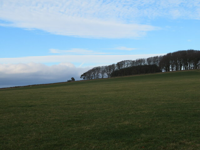
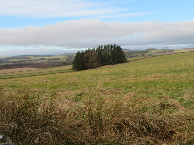
Blainslie is a small village located in the Scottish Borders region of Roxburghshire, South Scotland. Situated about 3 miles southeast of the town of Lauder, it lies in the picturesque Ale Water valley. Blainslie is surrounded by rolling hills and beautiful countryside, making it an ideal destination for nature enthusiasts and those seeking a peaceful retreat.

The village itself is home to a close-knit community, with a population of around 200 residents. Blainslie has a rich history dating back centuries, and evidence of its past can be seen in the historic buildings and landmarks scattered throughout the area. The village is known for its charming stone cottages, many of which have been well-preserved and maintained.

Blainslie offers a range of amenities for its residents and visitors. The village has a primary school, a local pub, and a village hall which serves as a hub for community activities. Additionally, there is a small play park for children, providing a safe and enjoyable space for families.

The surrounding area of Blainslie is a haven for outdoor activities. The rolling hills and countryside offer ample opportunities for walking, hiking, and cycling. Furthermore, the nearby River Tweed is renowned for its fishing, attracting anglers from far and wide.

In summary, Blainslie is a charming village in Roxburghshire, Scotland, providing a tranquil setting amidst stunning natural beauty. With its friendly community and abundance of outdoor activities, it is a hidden gem for those seeking a peaceful retreat in the Scottish countryside.

If you have any feedback on the listing, please let us know in the comments section below.

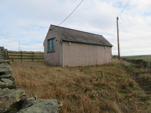
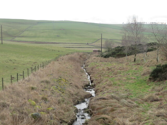
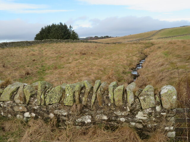
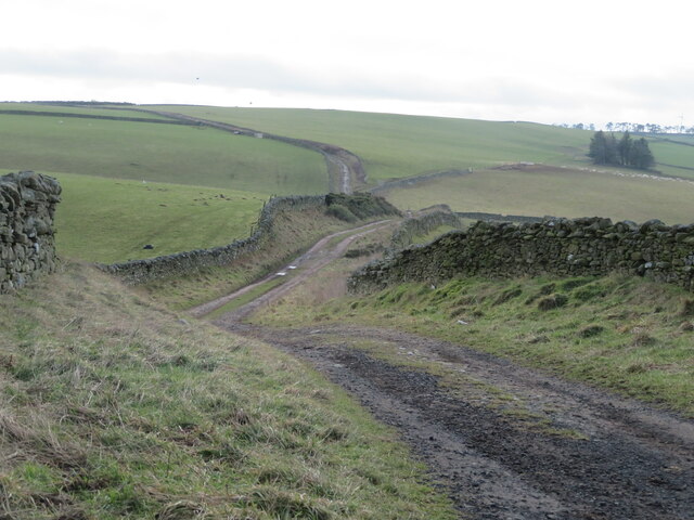
Blainslie, South Images

Images are sourced within 2km of 55.678297/-2.7330447 or Grid Reference NT5443. Thanks to Geograph Open Source API. All images are credited.

Upper Blainslie Trig Point Flush Bracket S7408
Road near Nether Blainslie - slippier than it looks
Telephone Exchange near Langshaw In what might be described as 'the middle of nowhere'.
Telephone Exchange near Langshaw
In what might be described as 'the middle of nowhere'.
Rough grassland near Bluecairn With a small plantation and electricity transmission line.
Rough grassland near Bluecairn
With a small plantation and electricity transmission line.
The Moss Burn A tributary of the Allan Water, near Langshaw. The small building will be connected with the hydraulic ram on the burn, marked on the map.
The Moss Burn
A tributary of the Allan Water, near Langshaw. The small building will be connected with the hydraulic ram on the burn, marked on the map.
The Moss Burn Looking north from the bridge over. A tributary of the Allan Water.
The Moss Burn
Looking north from the bridge over. A tributary of the Allan Water.
New house at Springfield Adjacent to Fordswell farm.
New house at Springfield
Adjacent to Fordswell farm.
Upper Blainslie Cottages And grass field, with dry-stone wall.
Upper Blainslie Cottages
And grass field, with dry-stone wall.
The Stell at Upper Blainslie A house by the farm cottages. Seen across a grass field and dry-stone wall.
The Stell at Upper Blainslie
A house by the farm cottages. Seen across a grass field and dry-stone wall.
Field track at Upper Blainslie A grass field, with drystone wall and track alongside.
Field track at Upper Blainslie
A grass field, with drystone wall and track alongside.
The Southern Upland Way at Bluecairn Looking south over a landscape of pastures and drystone walls.
The Southern Upland Way at Bluecairn
Looking south over a landscape of pastures and drystone walls.
Landscape at Bluecairn Looking southwest from Bluecairn over an expanse of grassy farmland. The forestry in the distance is on Ladhope Moor.
Landscape at Bluecairn
Looking southwest from Bluecairn over an expanse of grassy farmland. The forestry in the distance is on Ladhope Moor.
Southern Upland Way signpost By a shelter belt at a crossroads near Bluecairn.
Southern Upland Way signpost
By a shelter belt at a crossroads near Bluecairn.
Pasture at Jeaniefield Looking over the pasture to a hill top plantation.
Pasture at Jeaniefield
Looking over the pasture to a hill top plantation.
Rough grassland and a small plantation Near Jeaniefield and Bluecairn.
Rough grassland and a small plantation
Near Jeaniefield and Bluecairn.
Crop field at Cocklee Most likely winter wheat.
Crop field at Cocklee
Most likely winter wheat.
Gated track near Chapel on Leader
A68 near Galadean
A68 near Galadean
Show me another place!

Blainslie, South is located at Grid Ref: NT5443 (Lat: 55.678297, Lng: -2.7330447)

Unitary Authority: The Scottish Borders

Police Authority: The Lothians and Scottish Borders

What 3 Words

///shin.scarf.eradicate. Near Lauder, Scottish Borders

Related Wikis

Birkenside, Scottish Borders

Birkenside is a village in the Scottish Borders, Scotland.

Whitslaid Tower

Whitslaid Tower was an ancient Berwickshire seat of the Lauder family for over 300 years. It is today a ruin high above the eastern bank of the Leader...

Carolside, Scottish Borders

Carolside is an estate by the Leader Water, in the Scottish Borders. It is located one mile (1.6 km) north of Earlston, in the former county of Berwickshire...

Boon Farm

Boon is a farm and former barony located near Lauder, Scotland. == History == === Name origins === Boon (aka "Boune" or "Bounn"), derives from the Breton...

Legerwood

Legerwood is a village by the Eden Water, in the Scottish Borders area of Scotland, near Lauder, near the Southern Upland Way. Legerwood Kirk is outside...

Lauder Town Hall

Lauder Town Hall is a municipal structure in the Market Place in Lauder, Scottish Borders, Scotland. The structure, which is used as the local registrar...

Lauder

The former Royal Burgh of Lauder (, Scottish Gaelic: Labhdar) is a town in the Scottish Borders in the historic county of Berwickshire. On the Southern...

Allanshaws

Allanshaws is a place and farm off the B6362, in Lauderdale, by the Allan Water, in the parish of Melrose in the Scottish Borders area of Scotland, formerly...

Nearby Amenities

Located within 500m of 55.678297,-2.7330447
Design: barrel
Power: tower
Lat/Long: 55.6767644/-2.7292175
Design: barrel
Power: tower
Lat/Long: 55.6791262/-2.7346244
Design: barrel
Power: tower
Lat/Long: 55.6808522/-2.7385241
Power: pole
Lat/Long: 55.6759694/-2.7389554
Power: pole
Lat/Long: 55.6765664/-2.7379475
Power: pole
Lat/Long: 55.6766023/-2.7367539
Power: pole
Lat/Long: 55.6766453/-2.7355882
Power: pole
Lat/Long: 55.6766769/-2.7343742
Power: pole
Lat/Long: 55.6767099/-2.733117
Power: pole
Lat/Long: 55.6767329/-2.7320048
Power: pole
Lat/Long: 55.6769639/-2.7308366
Power: pole
Lat/Long: 55.6771935/-2.7297015
Power: pole
Lat/Long: 55.6774131/-2.7286732
Power: pole
Lat/Long: 55.6776528/-2.7275
Power: pole
Lat/Long: 55.6778867/-2.7263496
Power: pole
Lat/Long: 55.6781421/-2.725217
Power: pole
Lat/Long: 55.6771562/-2.7385736
Power: pole
Lat/Long: 55.677736/-2.7392048
Power: pole
Lat/Long: 55.6783502/-2.7388867
Power: pole
Lat/Long: 55.6789514/-2.7385634
Power: pole
Lat/Long: 55.6795771/-2.7382402
Power: pole
Lat/Long: 55.6802128/-2.737917
Power: pole
Lat/Long: 55.6800392/-2.7392481
The data included in this document is from www.openstreetmap.org. The data is made available under ODbL.

Have you been to Blainslie, South?

Leave your review of Blainslie, South below (or comments, questions and feedback).