South Bents

Settlement in Durham

England

South Bents

Seaburn
Seaburn Credit: Ann Hodgson

South Bents is a small residential area located in the city of Durham, England. Situated on the coast of the North Sea, it is part of the larger Sunderland metropolitan borough. With a population of around 3,000 residents, South Bents offers a quiet and peaceful living environment.

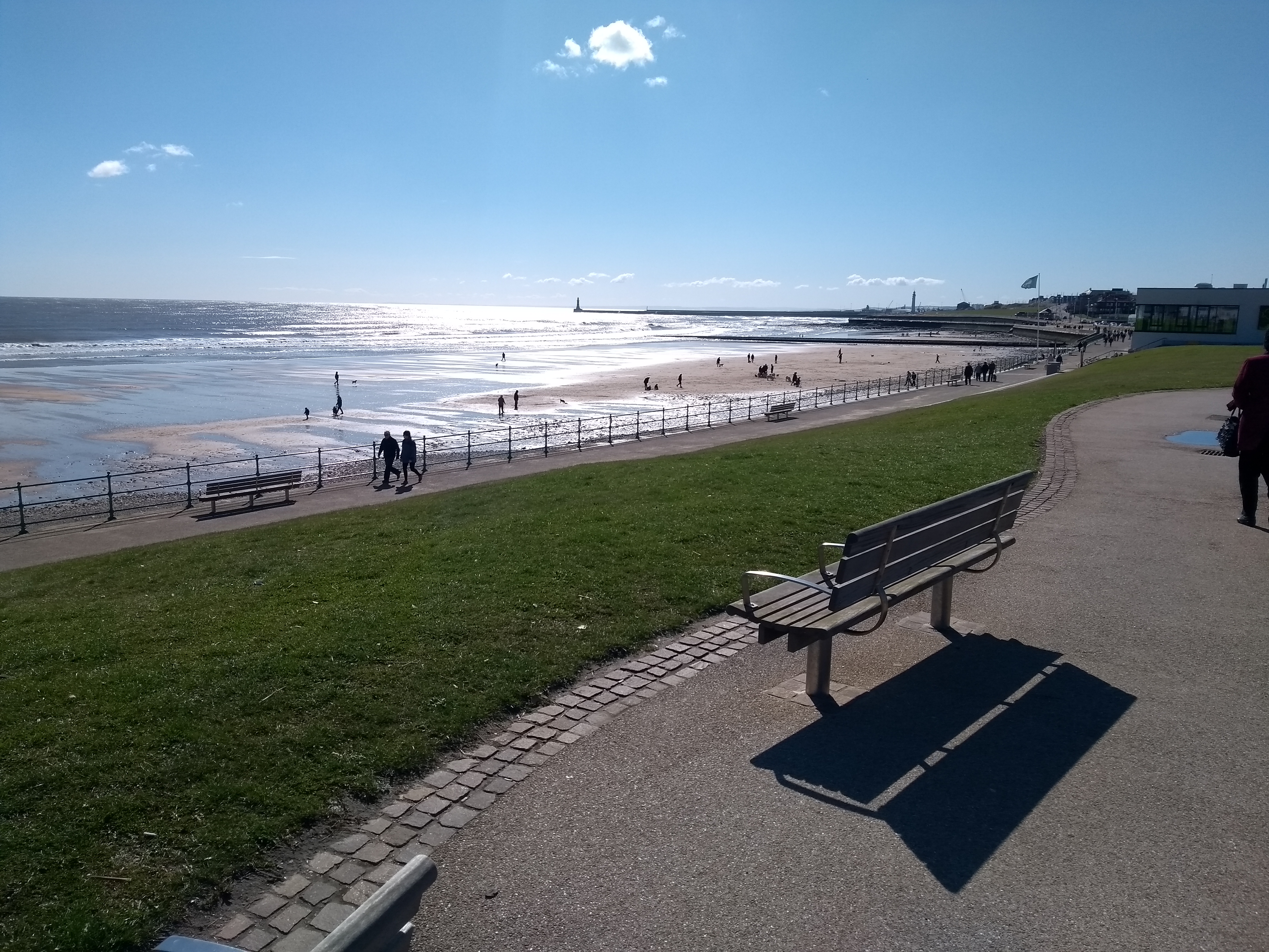
The area is known for its scenic beauty, with stunning views of the sea and a long sandy beach. It attracts both locals and tourists, especially during the summer months when the beach becomes a popular destination for sunbathing and water activities.

South Bents is predominantly a residential area, consisting of mostly detached and semi-detached houses. It offers a range of amenities to cater to the needs of its residents, including small local shops, a post office, and several pubs and restaurants. For more extensive shopping and leisure activities, residents can easily access the nearby city of Sunderland.

Education is well-served in South Bents, with a primary school located within the area. Additionally, there are secondary schools in the surrounding neighborhoods that cater to the educational needs of older students.

Transportation in South Bents is convenient, with regular bus services connecting the area to other parts of Durham and Sunderland. The A1018 road runs nearby, providing easy access to the wider region.

Overall, South Bents offers a picturesque coastal living experience, with a friendly community and convenient access to nearby amenities.

If you have any feedback on the listing, please let us know in the comments section below.
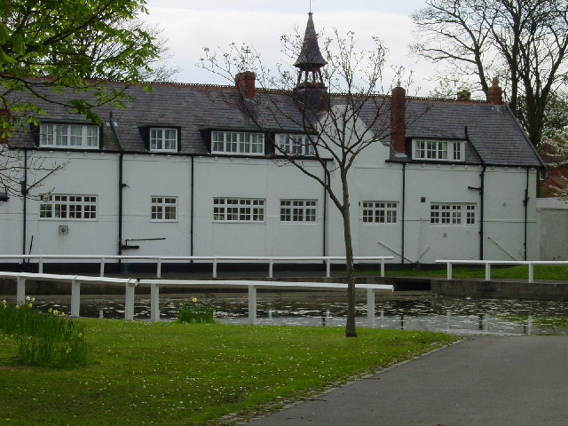
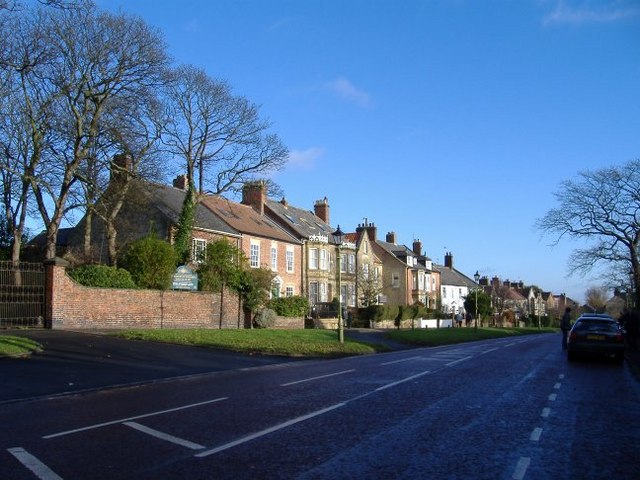
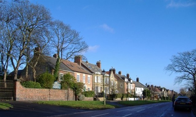
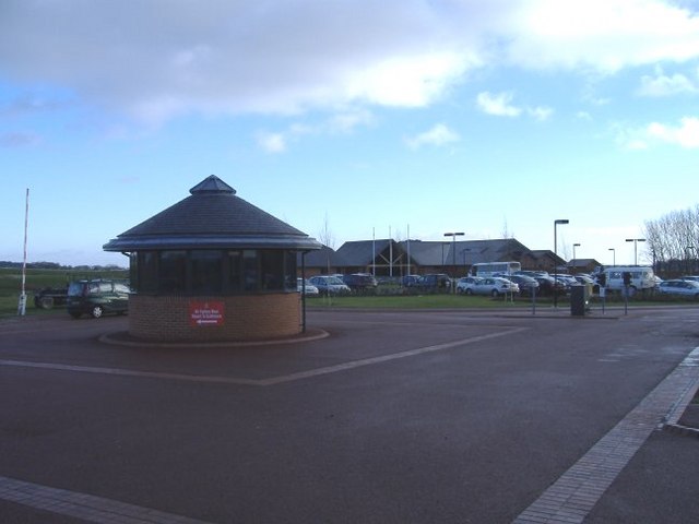
South Bents Images

Images are sourced within 2km of 54.944258/-1.37476 or Grid Reference NZ4061. Thanks to Geograph Open Source API. All images are credited.

Seaburn
Seaburn
Whitburn village pond
Whitburn Mill
Whitburn Mill
Rescue on the beach, Seaburn, Sunderland, 29th January 2006
Seaburn Beach
Seaburn Beach
Roker beach in July A popular beach in the summer - and well used by dog walkers in the winter, despite the bleak weather!
Roker beach in July
A popular beach in the summer - and well used by dog walkers in the winter, despite the bleak weather!
Firing range at Whitburn Camp The firing range is very little used now - perhaps not at all.  Cows and horses graze there.  Sticking up on the horizon is Whitburn Windmill (restored).
Firing range at Whitburn Camp
The firing range is very little used now - perhaps not at all. Cows and horses graze there. Sticking up on the horizon is Whitburn Windmill (restored).
Whitburn School This secondary school backs on to a cliff overlooking the North Sea.  Photo taken from the cliffside path.
Whitburn School
This secondary school backs on to a cliff overlooking the North Sea. Photo taken from the cliffside path.
One of the fine houses of Whitburn village.
Whitburn village.
Whitburn village.
Whitburn Bay High tide view of the bay from Seaburn promenade. The sea was very calm and full of small fish just below the railings.
Whitburn Bay
High tide view of the bay from Seaburn promenade. The sea was very calm and full of small fish just below the railings.
Seafront at Seaburn
Seafront at Seaburn
Promenade: Seaburn Sands
Whitburn Bay
Whitburn Bay
Seaburn Sands
Seaburn Sands
Public convenience and first aid post
South Bents (Whitburn Steel on some maps)
Fishing boat being dragged back to Whitburn Angling Club
Show me another place!

South Bents is located at Grid Ref: NZ4061 (Lat: 54.944258, Lng: -1.37476)

Unitary Authority: South Tyneside

Police Authority: Northumbria

What 3 Words

///soaks.latter.senses. Near Whitburn, Tyne & Wear

Nearby Locations

South Bents

Related Wikis

Academy of Light

The Academy of Light is the name of the UEFA five star certified training facilities and youth academy for English football club Sunderland A.F.C. Officially...

Whitburn, Tyne and Wear

Whitburn is a village in South Tyneside, in the metropolitan county of Tyne and Wear on the coast of North East England. It is located 3 miles (4.8 km...

Monkwearmouth Academy

Monkwearmouth Academy is a state secondary school in Sunderland, Tyne and Wear, England, for pupils aged between 11 and 16. The most recent inspection...

Whitburn Church of England Academy

Whitburn Church of England Academy is a coeducational secondary school and sixth form located in Whitburn, South Tyneside. Its motto is "Excellence for...

Sunderland A.F.C. Reserves and Academy

Sunderland A.F.C. Academy is the collective name for the youth development squads of Sunderland Association Football Club, primarily the U18 and U21 teams...

Seaburn

Seaburn is a seaside resort and northeastern suburb of Sunderland, North East England. The village of Whitburn borders the area to the north. To the west...

Seaburn Dene

Seaburn Dene is a northern suburb of Sunderland, England, located about one mile inland from the North Sea, near the boundary with South Tyneside. The...

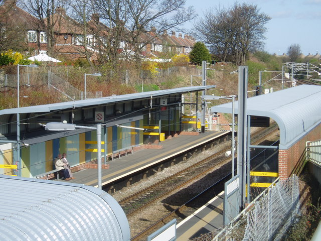
Seaburn Metro station

Seaburn is a Tyne and Wear Metro station, serving the suburbs of Fulwell and Seaburn, City of Sunderland in Tyne and Wear, England. It joined the network...

Nearby Amenities

Located within 500m of 54.944258,-1.37476
Bus Stop
Asset Ref: 18054
Location: Souyth Bents Avenue
Naptan AtcoCode: 410000018054
Naptan NaptanCode: twrgwapt
Source: GPS Survey
Lat/Long: 54.9409478/-1.3710042
Bus Stop
Asset Ref: 18053
Location: Weardale Avenue
Naptan AtcoCode: 410000018053
Naptan NaptanCode: twrgwapm
Source: GPS Survey
Lat/Long: 54.9412819/-1.3727281
Bus Stop
Asset Ref: 18052
Location: Weardale Avenue
Naptan AtcoCode: 410000018052
Naptan NaptanCode: twrgpmtm
Source: GPS Survey
Lat/Long: 54.9424166/-1.3739843
Bus Stop
Asset Ref: 18051
Location: Weardale Avenue
Source: GPS Survey
Lat/Long: 54.9429959/-1.3713325
Bus Stop
Asset Ref: 18050
Location: South Bents
Naptan AtcoCode: 410000018050
Naptan NaptanCode: twrgwapg
Source: GPS Survey
Lat/Long: 54.9424416/-1.3683234
Bus Stop
SOUTH BENTS BRANSDALE AVENUE
Local Ref: W
Naptan AtcoCode: 410000018050
Naptan Bearing: W
Naptan CommonName: SOUTH BENTS BRANSDALE AVENUE
Naptan Indicator: W
Naptan Landmark: OUTSIDE NO.19 BRANSDALE AVENUE
Naptan NaptanCode: twrgwapg
Naptan PlusbusZoneRef: SNDRLND
Naptan Street: BRANSDALE AVENUE
Naptan Verified: no
Source: naptan_import
Lat/Long: 54.9423993/-1.3687459
Bus Stop
WEARDALE AVENUE-LONSDALE AVENUE-W/B
Local Ref: W
Naptan AtcoCode: 410000018051
Naptan Bearing: W
Naptan CommonName: WEARDALE AVENUE-LONSDALE AVENUE-W/B
Naptan Indicator: W
Naptan Landmark: OUTSIDE LONSDALE AVENUE
Naptan NaptanCode: twrgwapj
Naptan Street: WEARDALE AVENUE
Naptan Verified: no
Source: naptan_import
Lat/Long: 54.9429351/-1.371563
Bus Stop
SOUTH BENTS
Local Ref: S
Naptan AtcoCode: 410000018052
Naptan Bearing: S
Naptan CommonName: SOUTH BENTS
Naptan Indicator: S
Naptan Landmark: OUTSIDE NO.26 WEARDALE AVENUE
Naptan NaptanCode: twrgpmtm
Naptan PlusbusZoneRef: SNDRLND
Naptan Street: WEARDALE AVENUE
Naptan Verified: no
Source: naptan_import
Lat/Long: 54.9421121/-1.3740267
Bus Stop
WEARDALE AVENUE-LONSDALE AVENUE-E/B
Local Ref: E
Naptan AtcoCode: 410000018053
Naptan Bearing: E
Naptan CommonName: WEARDALE AVENUE-LONSDALE AVENUE-E/B
Naptan Indicator: E
Naptan Landmark: OUTSIDE NO.4 WEARDALE AVENUE
Naptan NaptanCode: twrgwapm
Naptan PlusbusZoneRef: SNDRLND
Naptan Street: WEARDALE AVENUE
Naptan Verified: no
Source: naptan_import
Lat/Long: 54.9411862/-1.372246
Bus Stop
SOUTH BENTS AVENUE-ROSEDALE AVENUE
Local Ref: E
Naptan AtcoCode: 410000018054
Naptan Bearing: E
Naptan CommonName: SOUTH BENTS AVENUE-ROSEDALE AVENUE
Naptan Indicator: E
Naptan Landmark: OUTSIDE ROSEDALE AVENUE
Naptan NaptanCode: twrgwapt
Naptan PlusbusZoneRef: SNDRLND
Naptan Street: SOUTH BENTS AVENUE
Naptan Verified: no
Source: naptan_import
Lat/Long: 54.9409063/-1.3702366
Generator Method: photovoltaic
Generator Output Electricity: yes
Generator Source: solar
Generator Type: solar_photovoltaic_panel
Power: generator
Lat/Long: 54.9413834/-1.3737724
Generator Method: photovoltaic
Generator Output Electricity: yes
Generator Source: solar
Generator Type: solar_photovoltaic_panel
Power: generator
Lat/Long: 54.9411942/-1.3745083
Generator Method: photovoltaic
Generator Output Electricity: yes
Generator Source: solar
Generator Type: solar_photovoltaic_panel
Power: generator
Lat/Long: 54.9411942/-1.3745652
Generator Method: photovoltaic
Generator Output Electricity: yes
Generator Source: solar
Generator Type: solar_photovoltaic_panel
Power: generator
Lat/Long: 54.9410424/-1.373624
The data included in this document is from www.openstreetmap.org. The data is made available under ODbL.

Have you been to South Bents?

Leave your review of South Bents below (or comments, questions and feedback).