Benfleet, South
Settlement in Essex Castle Point
England
Benfleet, South
Benfleet is a town located in the South of Essex, England. Situated on the northern bank of the Benfleet Creek, it is part of the Castle Point district. Benfleet is approximately 30 miles east of central London, and its close proximity to the capital makes it a popular residential area for commuters.
The town has a rich history, with evidence of Roman settlement and occupation dating back to the 1st century AD. Today, Benfleet is a thriving community with a population of around 30,000 residents. The town offers a mix of modern amenities and natural beauty, making it an attractive place to live.
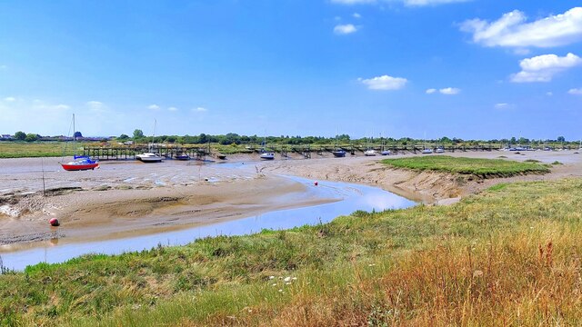
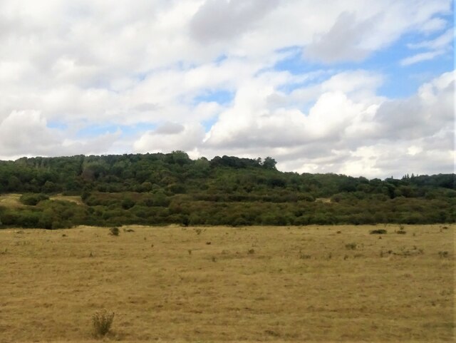
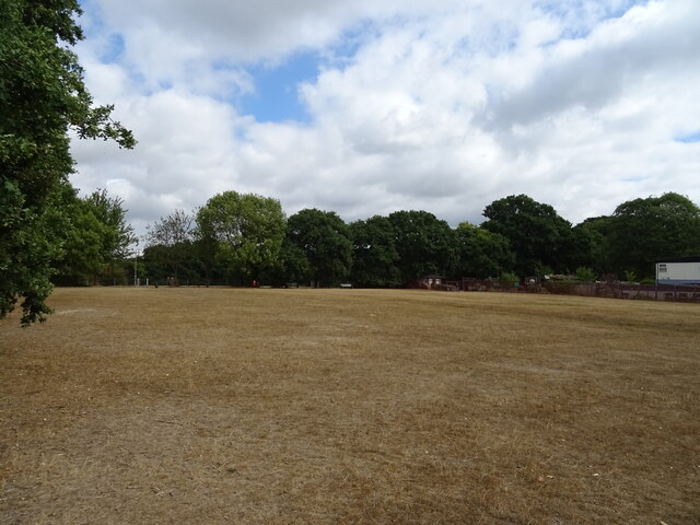
Benfleet is known for its picturesque countryside, including the nearby Hadleigh Country Park, which offers stunning views of the Thames Estuary. The area is also home to a number of nature reserves, providing opportunities for outdoor enthusiasts to explore and enjoy the local flora and fauna.
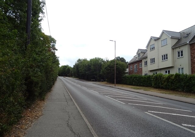
Transport links in Benfleet are excellent, with regular train services to London Fenchurch Street and Southend-on-Sea. The A13 road runs through the town, connecting it to central London and other major towns in Essex.
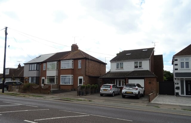
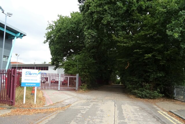
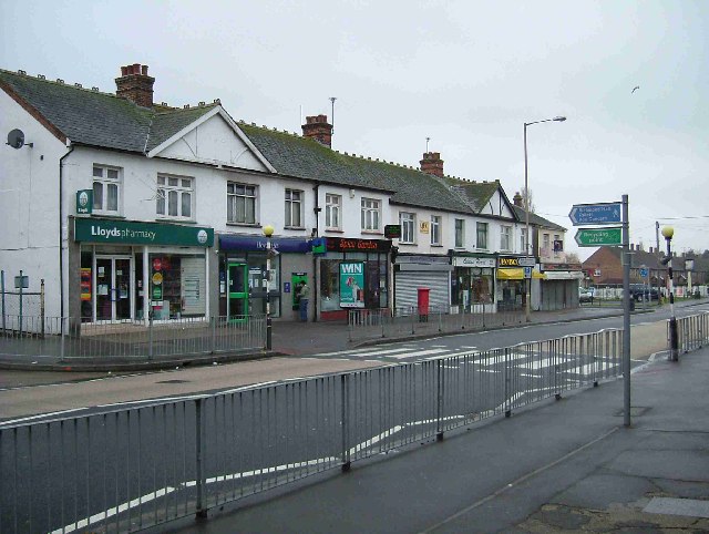
In terms of amenities, Benfleet has a range of shops, supermarkets, restaurants, and pubs to cater to residents' needs. The town is also home to several primary and secondary schools, making it an ideal place for families.
Overall, Benfleet offers a combination of natural beauty, historical significance, and modern conveniences, making it an appealing place to live in South Essex.
If you have any feedback on the listing, please let us know in the comments section below.
Benfleet, South Images
Images are sourced within 2km of 51.55488/0.571987 or Grid Reference TQ7887. Thanks to Geograph Open Source API. All images are credited.


Benfleet, South is located at Grid Ref: TQ7887 (Lat: 51.55488, Lng: 0.571987)
Administrative County: Essex
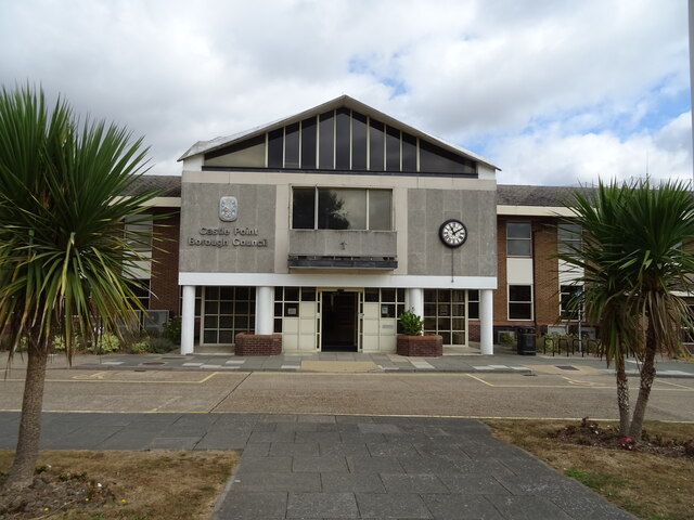
District: Castle Point
Police Authority: Essex
What 3 Words
///busy.chained.think. Near South Benfleet, Essex
Nearby Locations
Related Wikis

Battle of Benfleet
The Battle of Benfleet was an 894 battle between the Vikings and the Anglo-Saxons commanded by Edward the Elder and Æthelred, Lord of the Mercians, the...
South Benfleet
South Benfleet is a town and former civil parish, in the Castle Point district of Essex, England, 30 miles east of London. It is adjacent to the village...
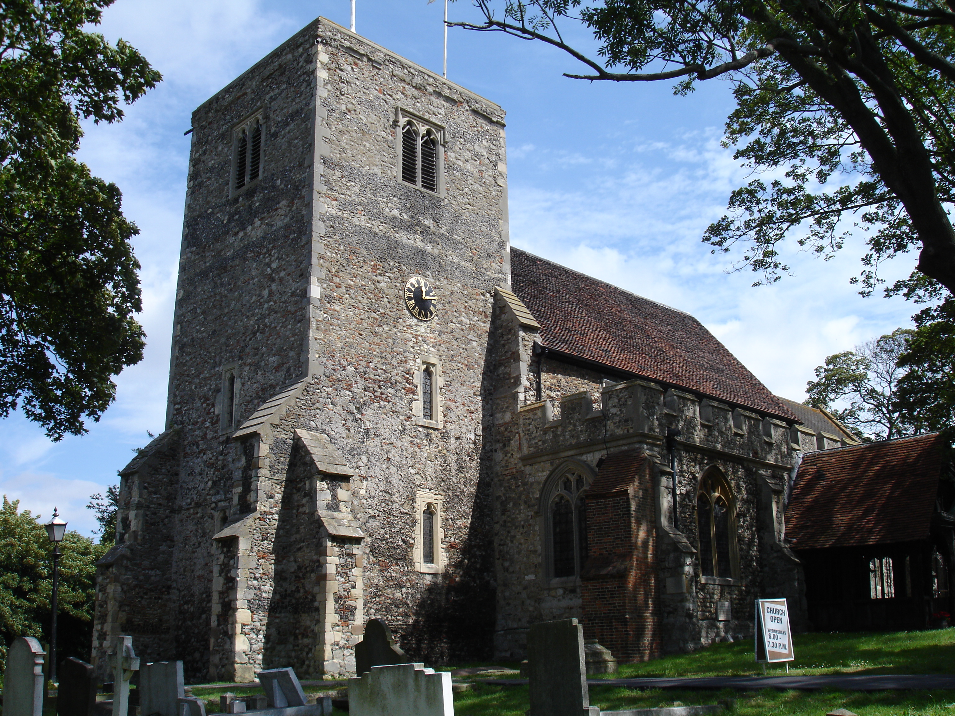
Church of St Mary the Virgin, South Benfleet
The Church of St Mary the Virgin is the parish church of South Benfleet, Essex. The church dates to around the 12th century, and predates the neighbouring...
USP College
Unified Seevic Palmer's College, trading as USP College (previously known as Seevic and Palmer's Colleges Group), is a large general further education...
Benfleet Urban District
Benfleet Urban District was an urban district in the county of Essex, England. It was created on 1 October 1929 from the parts of Rochford Rural District...
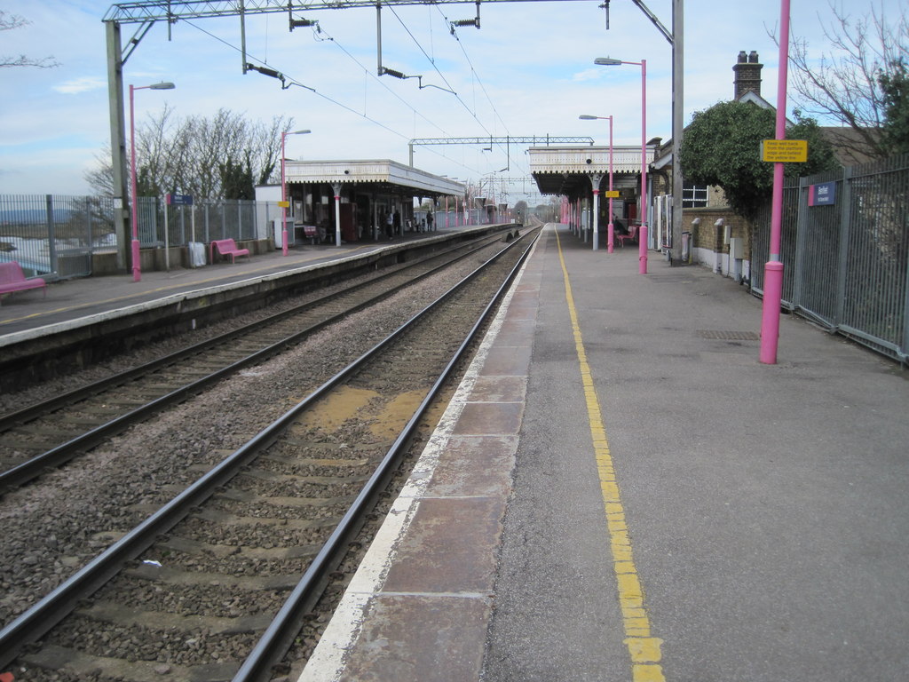
Benfleet railway station
Benfleet railway station is on the London, Tilbury and Southend line, serving the towns of South Benfleet and Canvey Island, Essex. It is 29 miles 11 chains...
The King John School
The King John School, often abbreviated to King John, is a secondary academy school with a sixth form in South Benfleet, Essex, England. It is named after...

Appleton School
The Appleton School is a secondary school and sixth form with academy status located in Croft Road, Benfleet, Essex, England. It currently accommodates...
Nearby Amenities
Located within 500m of 51.55488,0.571987Have you been to Benfleet, South?
Leave your review of Benfleet, South below (or comments, questions and feedback).