Bank, South

Settlement in Yorkshire

England

Bank, South

River Ouse from Lendal Bridge Looking upstream towards Scarborough Bridge.
River Ouse from Lendal Bridge Credit: DS Pugh

The requested URL returned error: 429 Too Many Requests

If you have any feedback on the listing, please let us know in the comments section below.
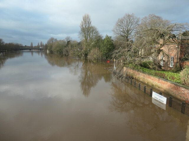
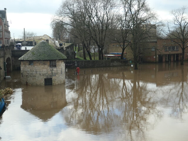
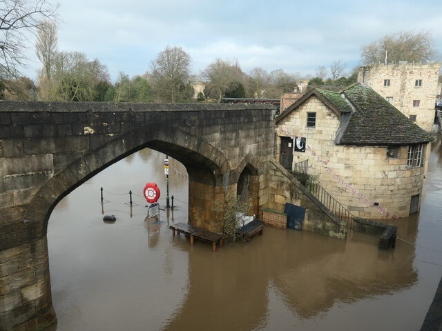
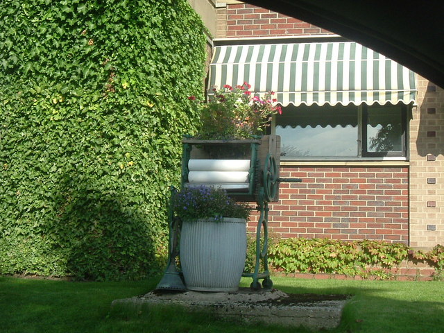
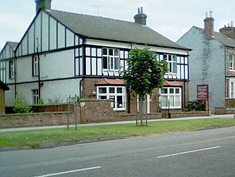
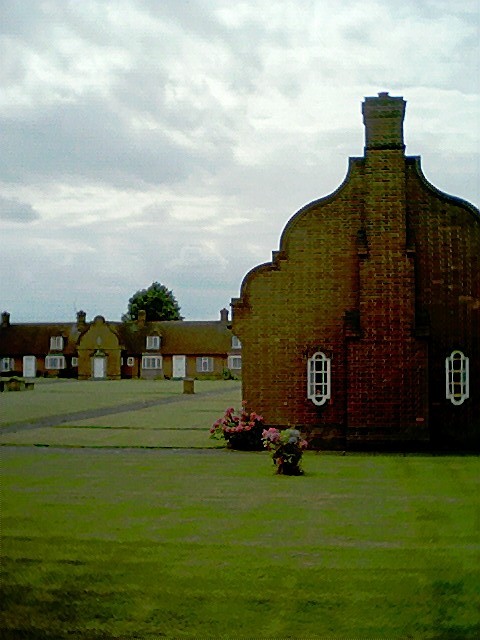
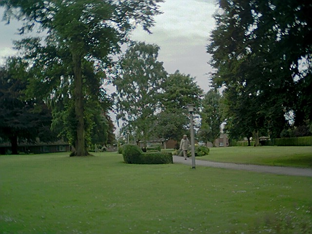
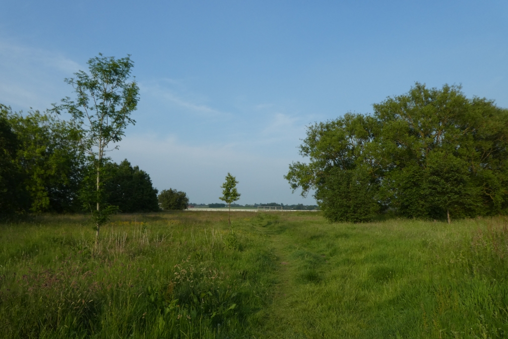
Bank, South Images

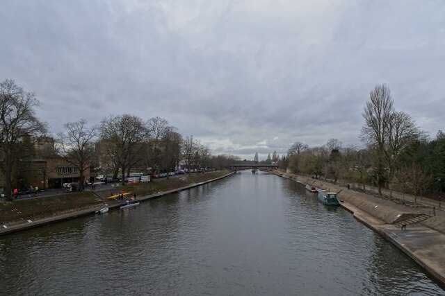
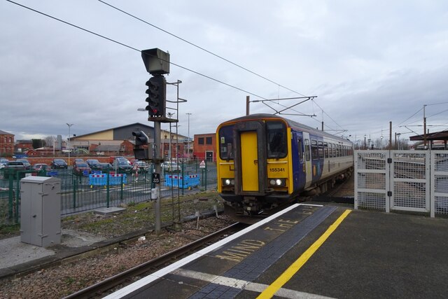
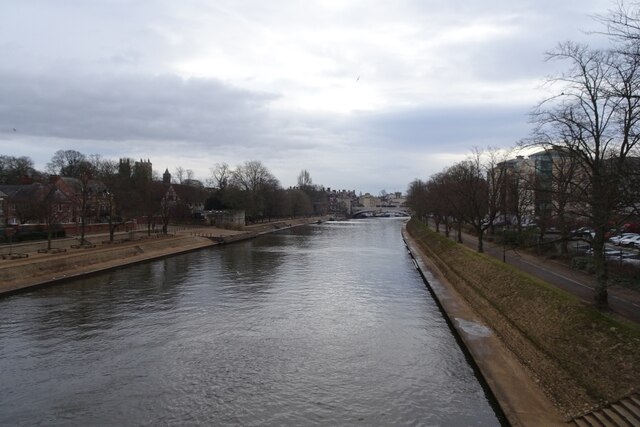
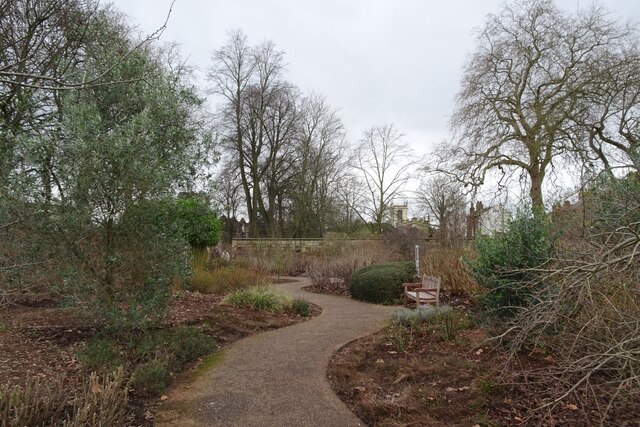
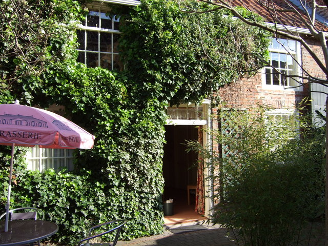
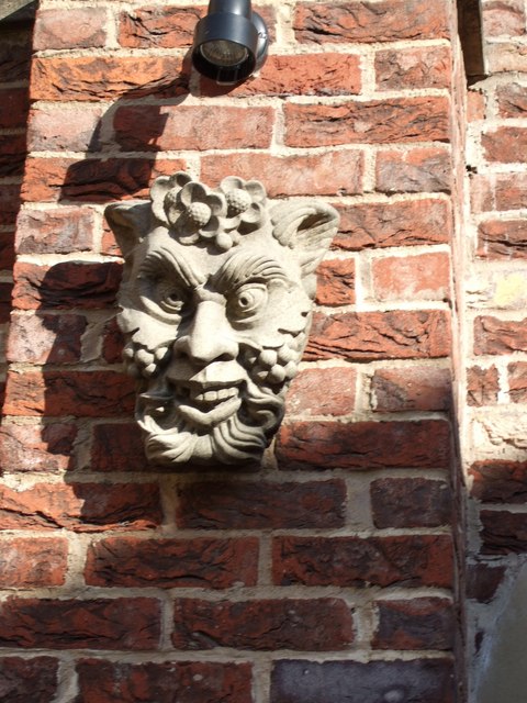
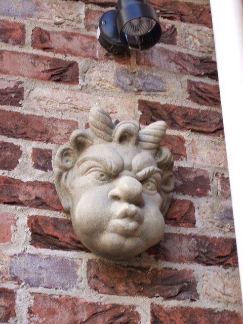
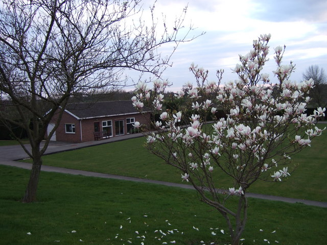
Images are sourced within 2km of 53.946383/-1.095093 or Grid Reference SE5950. Thanks to Geograph Open Source API. All images are credited.

River Ouse from Lendal Bridge Looking upstream towards Scarborough Bridge.
River Ouse from Lendal Bridge
Looking upstream towards Scarborough Bridge.
Train approaching Platform 11 The 0859 Leeds to York (2C26) service formed of 155341. The train was quite busy, arriving 10 minutes late. Class 155 units operate on the Harrogate Line from time to time, but are more regularly found operating York to Hull and Bridlington services.
Train approaching Platform 11
The 0859 Leeds to York (2C26) service formed of 155341. The train was quite busy, arriving 10 minutes late. Class 155 units operate on the Harrogate Line from time to time, but are more regularly found operating York to Hull and Bridlington services.
Ouse from Scarborough Bridge Looking downstream along the River Ouse from the rail and pedestrian/cycle bridge.
Ouse from Scarborough Bridge
Looking downstream along the River Ouse from the rail and pedestrian/cycle bridge.
Edible Garden in Museum Gardens Looking across part of the Edible Garden towards St. Olave's Church.
Edible Garden in Museum Gardens
Looking across part of the Edible Garden towards St. Olave's Church.
Flooded riverbank at Museum Gardens, York It's January 2024 and the River Ouse has burst its banks in York. Looking upstream from Lendal Bridge.
Flooded riverbank at Museum Gardens, York
It's January 2024 and the River Ouse has burst its banks in York. Looking upstream from Lendal Bridge.
North Street postern tower flooded, York It's January 2024 and the River Ouse has burst its banks in York.
North Street postern tower flooded, York
It's January 2024 and the River Ouse has burst its banks in York.
Wellington Row flooded, York It's January 2024 and the River Ouse has burst its banks in York.
Wellington Row flooded, York
It's January 2024 and the River Ouse has burst its banks in York.
New cycle ramp The newly constructed cycle ramp leads to St. Mary's Lane from Marygate Lane.
New cycle ramp
The newly constructed cycle ramp leads to St. Mary's Lane from Marygate Lane.
Almshouses in Fulford -
Almshouses in Fulford
-
St Oswald's Church St Oswald's Church Fulford, on the A19 leading to York city centre.
St Oswald's Church
St Oswald's Church Fulford, on the A19 leading to York city centre.
Connaught Court Garden ornamentation. 'Mangle, poss tub and poss stick' - historic clothes washing implements.
Connaught Court
Garden ornamentation. 'Mangle, poss tub and poss stick' - historic clothes washing implements.
Adams House, Fulford. A B&B close to St Oswald's church.
Adams House, Fulford.
A B&B close to St Oswald's church.
Almshouses in Fulford With elegantly shaped gable end. Named now for Sir John Hunt of Everest fame. Anyone know the connection?
Almshouses in Fulford
With elegantly shaped gable end. Named now for Sir John Hunt of Everest fame. Anyone know the connection?
Connaught Court Grounds of the Royal Masonic Lodge care home in Fulford.
Connaught Court
Grounds of the Royal Masonic Lodge care home in Fulford.
The Pavilion Hotel, Fulford Courtyard rooms.
The Pavilion Hotel, Fulford
Courtyard rooms.
Sculpted mask on the Pavilion Hotel A wall-mounted Roman relic of Eboracum. Satyr?
Sculpted mask on the Pavilion Hotel
A wall-mounted Roman relic of Eboracum. Satyr?
Another mask on the Pavilion Hotel A Roman relic sculpture from Eboracum on the wall of the Pavilion Hotel, Fulford. A chubby-cheeked devil (horned)?
Another mask on the Pavilion Hotel
A Roman relic sculpture from Eboracum on the wall of the Pavilion Hotel, Fulford. A chubby-cheeked devil (horned)?
Connaught Court bowling green With a flowering magnolia in the foreground.
Connaught Court bowling green
With a flowering magnolia in the foreground.
Show me another place!

Bank, South is located at Grid Ref: SE5950 (Lat: 53.946383, Lng: -1.095093)

Division: West Riding

Unitary Authority: York

Police Authority: North Yorkshire

What 3 Words

///atoms.softly.soak. Near York, North Yorkshire

Nearby Locations

Bank, South South Bank

Related Wikis

Millthorpe School

Millthorpe School is a mixed secondary school located in York, North Yorkshire, England. It is situated in South Bank, York, and can be accessed via Scarcroft...

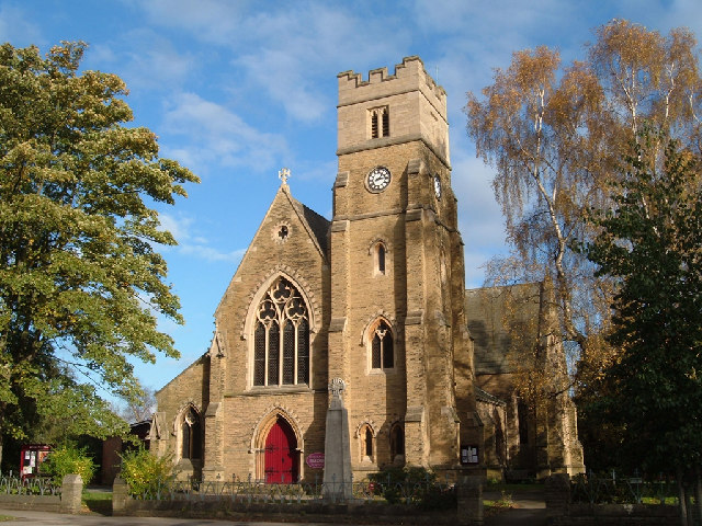
St Chad's Church, York

St Chad's Church, sometimes known as St Chad on the Knavesmire, is a parish church in the South Bank area of York, in England. In the early 20th century...

Institute of Physics and Engineering in Medicine

The Institute of Physics and Engineering in Medicine (IPEM) is the United Kingdom's professional body and learned society for physicists, engineers and...

Knavesmire

The Knavesmire is one of a number of large, marshy undeveloped areas within the city of York in North Yorkshire, England, which are collectively known...

Nearby Amenities

Located within 500m of 53.946383,-1.095093
Crossing
Bicycle: yes
Crossing Island: yes
Lat/Long: 53.9481991/-1.098029
Crossing
Bicycle: yes
Button Operated: yes
Crossing: traffic_signals
Crossing Island: no
Crossing Ref: toucan
Tactile Paving: yes
Traffic Signals Sound: yes
Traffic Signals Vibration: yes
Lat/Long: 53.9464505/-1.1016292
Turning Circle
Lat/Long: 53.9458667/-1.0876848
Post Box
Check Date: 2021-12-05
Collection Times: Mo-Fr 09:00; Sa 07:00
Post Box Design: type_a
Post Box Type: pillar
Postal Code: YO24 2DT
Ref: YO24 118D
Royal Cypher: EIIR
Royal Cypher Wikidata: Q33102113
Survey Date: 2022-10-25
Lat/Long: 53.9488077/-1.1001312
Lcn Ref: 3
Lat/Long: 53.9492143/-1.0946263
Check Date: 2021-10-06
Traffic Calming: hump
Lat/Long: 53.9480003/-1.0940708
Check Date: 2021-10-06
Traffic Calming: hump
Lat/Long: 53.9438797/-1.0923562
Post Box
Post Box Design: type_b
Post Box Type: pillar
Postal Code: YO24 1DE
Ref: YO24 171
Royal Cypher: VR
Royal Cypher Wikidata: Q33102356
Lat/Long: 53.9504887/-1.0936612
Telephone
Booth: KX100
Check Date: 2021-10-06
Covered: booth
Phone: +44 1904 625660
Lat/Long: 53.9430424/-1.0916637
Post Box
Brand: Royal Mail
Brand Wikidata: Q638098
Brand Wikipedia: en:Royal Mail
Check Date: 2021-10-06
Collection Times: Mo-Fr 18:15; Sa 12:30
Operator: Royal Mail
Operator Wikidata: Q638098
Post Box Mounting: brick_pillar
Post Box Type: wall
Ref: YO23 4
Royal Cypher: EIIR
Royal Cypher Wikidata: Q33102113
Lat/Long: 53.9453728/-1.0928274
Entrance: main
Lat/Long: 53.9488438/-1.0902309
Fred's Home Bakery
Addr City: York
Addr Housenumber: 133
Addr Postcode: YO23 1ER
Addr Street: Albemarle Road
Email: mail@fredshomebakery.co.uk
Opening Hours: Mo-Fr 07:30-15:00; Sa 07:30-14:30
Phone: +44 1904 630046
Shop: bakery
Start Date: 1981
Survey Date: 2022-11-10
Website: http://www.fredshomebakery.co.uk
Lat/Long: 53.9454012/-1.0927837
Knavesmire Butchers & Farmers
Addr City: York
Addr Housenumber: 137
Addr Postcode: YO23 1HD
Addr Street: Albemarle Road
Addr Suburb: South Bank
Shop: butcher
Lat/Long: 53.9450887/-1.0927074
Crossing
Crossing: unmarked
Kerb: flush
Tactile Paving: no
Lat/Long: 53.9462549/-1.1017689
Bus Stop
Knavesmire Primary School
Bench: yes
Bin: no
Bus: yes
Departures Board: timetable
Lit: yes
Public Transport: platform
Shelter: yes
Website: http://deps.at/?32900363
Lat/Long: 53.9435355/-1.0894398
Bus Stop
Pulleyn Drive
Bench: yes
Bin: yes
Bus: yes
Departures Board: timetable
Lit: yes
Naptan AtcoCode: 3290YYA00053
Naptan NaptanCode: 32900053
Public Transport: platform
Shelter: yes
Tactile Paving: yes
Website: http://deps.at/?32900053
Lat/Long: 53.9458111/-1.1021684
Lcn Ref: 4
Lat/Long: 53.9464116/-1.101508
Bench
Backrest: yes
Lat/Long: 53.9463486/-1.1014401
Bus Stop
Pulleyn Drive
Bench: yes
Bin: no
Bus: yes
Departures Board: timetable
Public Transport: platform
Shelter: yes
Tactile Paving: no
Website: http://deps.at/?32900054
Lat/Long: 53.9459705/-1.1018948
Level: -1
Lat/Long: 53.9471181/-1.093571
Barrier: cycle_barrier
Lat/Long: 53.9462215/-1.0931998
South Bank
Place: suburb
Wikidata: Q7566231
Wikipedia: en:South Bank, York
Lat/Long: 53.9460173/-1.0889391
B block ("The Quad")
Building: yes
Lat/Long: 53.9490553/-1.091137
B block ("The Quad")
Building: yes
Lat/Long: 53.9493833/-1.0910083
B block ("The Quad")
Building: yes
Lat/Long: 53.9493675/-1.0903592
Main hall
Building: yes
Lat/Long: 53.9484618/-1.0901929
Main hall
Building: yes
Lat/Long: 53.9486922/-1.0913087
Bus Stop
York Racecourse
Bench: yes
Bus: yes
Departures Board: timetable
Naptan AtcoCode: 3290YYA00361
Naptan NaptanCode: 32900361
Public Transport: platform
Shelter: yes
Website: http://deps.at/?32900361
Lat/Long: 53.942986/-1.0929049
Crossing
Lat/Long: 53.9491887/-1.0994717
Bus Stop
Mount Vale
Bench: no
Bin: no
Bus: yes
Departures Board: timetable
Lit: yes
Public Transport: platform
Shelter: no
Tactile Paving: yes
Website: http://deps.at/?32900223
Lat/Long: 53.9498592/-1.0988713
Cafe
Lapin
Addr City: York
Addr Housenumber: 75
Addr Postcode: YO23 1HR
Addr Street: Balmoral Street
Addr Suburb: South Bank
Old Name: The Corner Shop
Opening Hours: Mo-Sa 08:30-17:30; Su 08:30-15:30
Survey Date: 2024-02-20
Website: https://lapin-york.square.site/
Lat/Long: 53.9456399/-1.0892685
Check Date: 2021-10-06
Traffic Calming: hump
Lat/Long: 53.9474281/-1.0936404
Check Date: 2021-10-06
Traffic Calming: hump
Lat/Long: 53.9456047/-1.0929842
Check Date: 2021-10-06
Traffic Calming: hump
Lat/Long: 53.9467382/-1.0933292
Bus Stop
The Knavesmire
Bench: yes
Bin: no
Bus: yes
Departures Board: realtime
Lit: yes
Naptan AtcoCode: 3290YYA00808
Naptan NaptanCode: 32900808
Public Transport: platform
Shelter: yes
Tactile Paving: no
Website: http://deps.at/?32900808
Lat/Long: 53.9452705/-1.0932094
Check Date: 2021-10-06
Traffic Calming: hump
Lat/Long: 53.9504405/-1.0949568
Departures Board: no
Disused Highway: bus_stop
Naptan AtcoCode: 3290YYA00367
Naptan NaptanCode: 32900367
Shelter: yes
Lat/Long: 53.9453475/-1.0931866
Check Date: 2021-10-06
Traffic Calming: hump
Lat/Long: 53.9460876/-1.0930938
Traffic Calming: hump
Lat/Long: 53.9485282/-1.0944481
Check Date: 2022-06-21
Traffic Calming: hump
Lat/Long: 53.9478241/-1.0927106
Check Date: 2021-10-06
Traffic Calming: hump
Lat/Long: 53.9497989/-1.0947751
Check Date: 2021-10-06
Traffic Calming: hump
Lat/Long: 53.9450644/-1.0928641
Check Date: 2021-10-06
Traffic Calming: hump
Lat/Long: 53.9442633/-1.0925236
Check Date: 2021-10-06
Traffic Calming: hump
Lat/Long: 53.9431989/-1.0920563
Check Date: 2021-10-06
Traffic Calming: hump
Lat/Long: 53.9447299/-1.0927246
Traffic Calming: chicane
Lat/Long: 53.9463873/-1.0884613
Bus Stop
Mount Vale
Bench: yes
Bin: no
Bus: yes
Departures Board: timetable
Lit: yes
Public Transport: platform
Shelter: yes
Tactile Paving: no
Website: http://deps.at/?32900222
Lat/Long: 53.9500831/-1.0988528
Bench
Backrest: yes
Mapillary: 760981834563000
Survey Date: 2018-05-16
Lat/Long: 53.9502743/-1.0986697
Crossing
Crossing: unmarked
Crossing Island: yes
Tactile Paving: yes
Lat/Long: 53.950234/-1.0985732
D & K Stores
Addr City: York
Addr Postcode: YO23 1EP
Addr Street: Albemarle Road
Addr Suburb: South Bank
Opening Hours: Mo-Fr 08:30-21:00; Sa 09:00-21:00; Su 10:00-20:00; PH 09:00
Shop: convenience
Lat/Long: 53.9457896/-1.0928562
Stop
Direction: forward
Lat/Long: 53.9455843/-1.0894335
Social Club
St Clements Club
Addr City: York
Addr Postcode: YO23 1HH
Addr Street: Count De Burgh Terrace
Addr Suburb: South Bank
Leisure: social_club
Lat/Long: 53.9454281/-1.0891766
Stop
Direction: backward
Lat/Long: 53.9455748/-1.0892738
Entrance: yes
Lat/Long: 53.9454373/-1.089245
Kindergarten
Knavesmire Nursery
Addr City: York
Addr Postcode: YO23 1HY
Addr Street: Trafalgar Street
Lat/Long: 53.9439594/-1.0888465
Social Club
South Bank Social Club
Addr City: York
Addr Postcode: YO23 1DJ
Addr Street: Ovington Terrace
Addr Suburb: South Bank
Leisure: social_club
Lat/Long: 53.9465319/-1.0917745
Entrance: yes
Lat/Long: 53.9465448/-1.0917274
Cuisine: fish_and_chips
Disused Amenity: fast_food
Old Name: South Bank Fisheries
Lat/Long: 53.9453165/-1.0921657
Check Date: 2021-10-06
Traffic Calming: cushion
Lat/Long: 53.943135/-1.0914891
Check Date: 2021-10-06
Traffic Calming: hump
Lat/Long: 53.9438605/-1.0900605
Give Way
Direction: backward
Lat/Long: 53.9452799/-1.0929077
Give Way
Direction: forward
Lat/Long: 53.9453683/-1.0929266
Stop
Direction: backward
Lat/Long: 53.9459647/-1.0893544
York Tyburn
Historic: monument
Inscription: Tyburn
Note: former execution site marked with stone and paved area
Lat/Long: 53.9463442/-1.101495
Barrier: kissing_gate
Lat/Long: 53.9463425/-1.1015286
Milestone
Historic: milestone
Inscription: Tadcaster 8 Leeds 22 York 1 1/2 - Tadcaster & Hob Moor Road - York City
Lat/Long: 53.9459584/-1.1018406
Booth: KX100
Old Phone: +44 1904 624145
Removed Amenity: telephone
Lat/Long: 53.9488173/-1.1004072
Fast Food
Golden Horse
Addr City: York
Addr Postcode: YO23 1HT
Addr Street: Trafalgar Street
Addr Suburb: South Bank
Cuisine: chinese
Lat/Long: 53.9457051/-1.0885606
Bench
Lat/Long: 53.9460342/-1.1018273
Bicycle Parking
Bicycle Parking: stands
Capacity: 10
Covered: no
Lat/Long: 53.9426741/-1.0941024
Bicycle Parking
Access: customers
Bicycle Parking: stands
Capacity: 10
Covered: no
Lat/Long: 53.9485519/-1.0974668
Bicycle Parking
Access: private
Bicycle Parking: shed
Covered: yes
Lat/Long: 53.9492045/-1.0898632
The Corner Barbershop
Opening Hours: Tu-Fr 09:30-17:00; Sa 09:00-17:00
Shop: hairdresser
Lat/Long: 53.9449967/-1.0926998
On Top Roofing
Craft: roofer
Opening Hours: Mo-Fr 09:00-14:00
Phone: +44 7398 219982
Survey Date: 2022-11-10
Website: https://www.on-top-roofing-york.co.uk/
Lat/Long: 53.9450334/-1.0927108
Noexit: yes
Lat/Long: 53.9460915/-1.0935013
Traffic Signals
Crossing: no
Traffic Signals Direction: forward
Lat/Long: 53.9464916/-1.1015973
Traffic Signals
Crossing: no
Traffic Signals Direction: backward
Lat/Long: 53.9464166/-1.1016523
Waste Basket
Survey Date: 2022-10-18
Waste: cigarettes
Lat/Long: 53.9454584/-1.0892411
Waste Basket
Survey Date: 2022-10-18
Lat/Long: 53.9456194/-1.0892328
Advertising: board
Support: poles
Survey Date: 2022-10-25
Lat/Long: 53.9491929/-1.0947276
Orbital Route
Information: guidepost
Survey Date: 2022-10-25
Tourism: information
Lat/Long: 53.9476107/-1.0938327
Bench
Backrest: yes
Survey Date: 2022-10-25
Lat/Long: 53.9479379/-1.0941967
Bench
Backrest: yes
Survey Date: 2022-10-25
Lat/Long: 53.9482597/-1.0944171
Waste Basket
Survey Date: 2022-10-25
Lat/Long: 53.9488346/-1.0947105
Direction East: Millennium Bridge, University, South Bank
Direction North: Acomb, Tadcaster Road
Direction South: Selby, Racecourse
Image: https://map.atownsend.org.uk/tmp/180122.jpg
Information: guidepost
Survey Date: 2022-10-25
Tourism: information
Lat/Long: 53.9482511/-1.0979948
Orbital Route
Information: guidepost
Survey Date: 2022-10-25
Tourism: information
Lat/Long: 53.9463852/-1.0914939
Orbital Route
Information: guidepost
Survey Date: 2022-10-25
Tourism: information
Lat/Long: 53.9478767/-1.0922134
Waste Basket
Survey Date: 2022-10-25
Lat/Long: 53.9478159/-1.0939896
Orbital Route
Information: guidepost
Survey Date: 2022-10-25
Tourism: information
Lat/Long: 53.9482054/-1.0981209
Waste Basket
Survey Date: 2022-10-25
Lat/Long: 53.9484603/-1.0981672
Waste Basket
Survey Date: 2022-10-25
Lat/Long: 53.9478774/-1.0922218
Orbital Route
Information: guidepost
Ref: 3
Survey Date: 2022-10-25
Tourism: information
Lat/Long: 53.949186/-1.0946764
Waste Basket
Survey Date: 2022-10-25
Lat/Long: 53.9489015/-1.0987683
Orbital Route
Information: guidepost
Survey Date: 2022-10-25
Tourism: information
Lat/Long: 53.9490992/-1.0995047
Bench
Backrest: yes
Survey Date: 2022-10-25
Lat/Long: 53.9463182/-1.1014707
Bench
Backrest: yes
Survey Date: 2022-10-25
Lat/Long: 53.9490667/-1.0994062
Waste Basket
Survey Date: 2022-10-25
Lat/Long: 53.9487906/-1.1002834
Orbital Route
Information: guidepost
Ref: 4
Survey Date: 2022-10-25
Tourism: information
Lat/Long: 53.9465866/-1.101456
Waste Basket
Survey Date: 2022-10-25
Lat/Long: 53.9463628/-1.1015131
Little Hob Moor
Advertising: board
Support: poles
Survey Date: 2022-10-25
Lat/Long: 53.9463354/-1.1018817
Orbital Route
Information: guidepost
Survey Date: 2024-01-19
Tourism: information
Lat/Long: 53.946252/-1.1018623
Orbital Route
Information: guidepost
Survey Date: 2022-11-02
Tourism: information
Lat/Long: 53.9464495/-1.088634
Information: guidepost
Survey Date: 2022-11-02
Tourism: information
Lat/Long: 53.9464849/-1.0880188
Waste Basket
Survey Date: 2022-11-07
Lat/Long: 53.9448372/-1.0953662
Bench
Backrest: yes
Survey Date: 2022-11-07
Lat/Long: 53.9499158/-1.0988403
Waste Basket
Survey Date: 2022-11-07
Lat/Long: 53.9498396/-1.0989105
Bench
Backrest: yes
Survey Date: 2022-11-07
Lat/Long: 53.9449452/-1.0954321
Bench
Backrest: yes
Survey Date: 2022-11-07
Lat/Long: 53.9490135/-1.098266
Bench
Backrest: yes
Survey Date: 2022-11-07
Lat/Long: 53.9491165/-1.0983317
Bench
Backrest: yes
Survey Date: 2022-11-07
Lat/Long: 53.9491794/-1.0985665
Waste Basket
Survey Date: 2022-11-10
Lat/Long: 53.9457908/-1.092958
Information: guidepost
Survey Date: 2022-11-10
Tourism: information
Lat/Long: 53.9456685/-1.0929419
Waste Basket
Survey Date: 2022-11-10
Lat/Long: 53.945113/-1.0927772
Bench
Lat/Long: 53.9429025/-1.0928301
Marker: stone
Lat/Long: 53.9495279/-1.0990038
Bench
Backrest: yes
Lat/Long: 53.9481692/-1.0978391
Addr Housenumber: 10
Addr Street: Knavesmire Crescent
Lat/Long: 53.9458711/-1.0936748
Addr Housenumber: 2
Addr Street: Knavesmire Crescent
Lat/Long: 53.9460238/-1.0934449
Addr Housenumber: 12
Addr Street: Knavesmire Crescent
Lat/Long: 53.9457485/-1.0936387
Addr Housenumber: 32
Addr Street: Knavesmire Crescent
Lat/Long: 53.9453728/-1.0935797
Addr Housenumber: 36
Addr Street: Albemarle Road
Lat/Long: 53.9461369/-1.0932605
Addr Housenumber: 54
Addr Street: Albemarle Road
Lat/Long: 53.9457927/-1.0931827
Tyburn
Information: board
Tourism: information
Lat/Long: 53.9463265/-1.1015291
Communication Mobile Phone: yes
Man Made: mast
Operator: Three
Operator Wikidata: Q19840922
Tower Type: communication
Lat/Long: 53.949064/-1.0944883
Defibrillator
Defibrillator Location: On outside wall of St Chad's Church Hall, facing Campleshon Road.
Emergency: defibrillator
Ref GB The Circuit: 2168D81A-0308-4F6C-B9C3-B09F00F572FD
Lat/Long: 53.9435/-1.0911115
Information: guidepost
Tourism: information
Lat/Long: 53.946209/-1.1017084
Man Made: street_cabinet
Lat/Long: 53.9488313/-1.1004255
Bus Stop
Queen Victoria Street
Bus: yes
Departures Board: timetable
Public Transport: platform
Website: http://deps.at/?32900366
Lat/Long: 53.9455234/-1.0897273
Bus Stop
York Racecourse
Bus: yes
Public Transport: platform
Ref: 32901062
Shelter: no
Lat/Long: 53.9429768/-1.0922679
Bus Stop
Knavesmire Gate
Bus: yes
Departures Board: no
Physically Present: yes
Public Transport: platform
Shelter: no
Lat/Long: 53.9484719/-1.0982827
Bus Stop
Knavesmire Gate
Bus: yes
Departures Board: no
Physically Present: yes
Public Transport: platform
Shelter: no
Lat/Long: 53.9484926/-1.0982028
The data included in this document is from www.openstreetmap.org. The data is made available under ODbL.

Have you been to Bank, South?

Leave your review of Bank, South below (or comments, questions and feedback).