South Bank

Settlement in Yorkshire

England

South Bank

Pipelines and slag heap, South Bank Pipelines passing over internal works road at the site of the former Dorman Long Coke Works.
Pipelines and slag heap, South Bank Credit: David Robinson

The requested URL returned error: 429 Too Many Requests

If you have any feedback on the listing, please let us know in the comments section below.
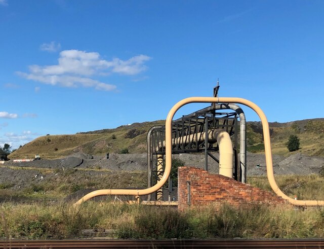
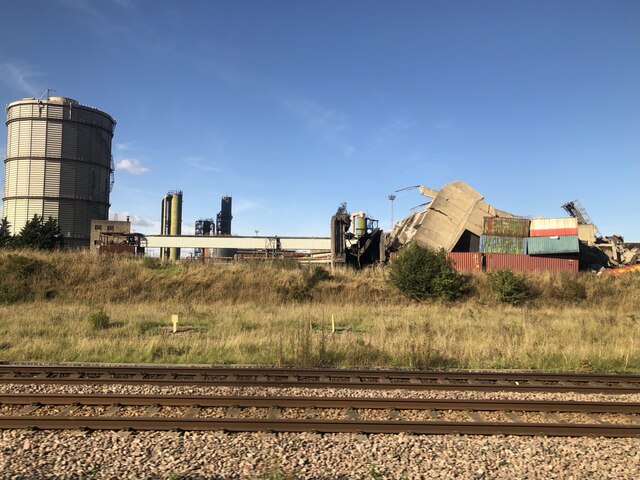
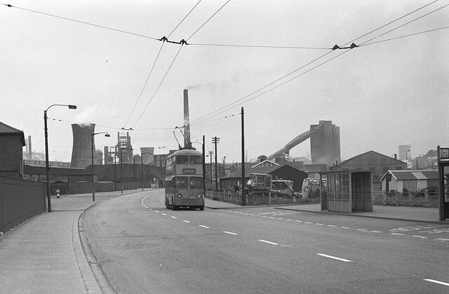
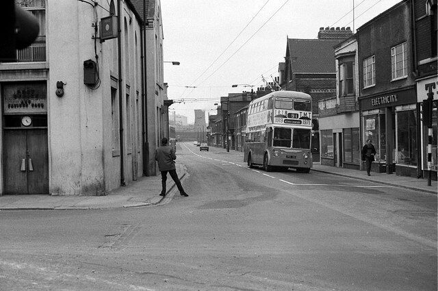
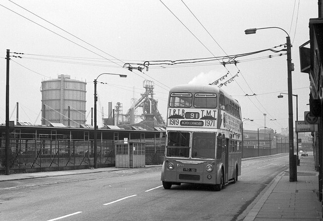
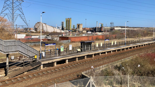
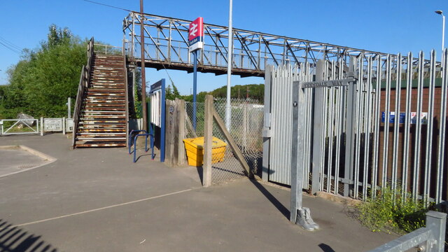
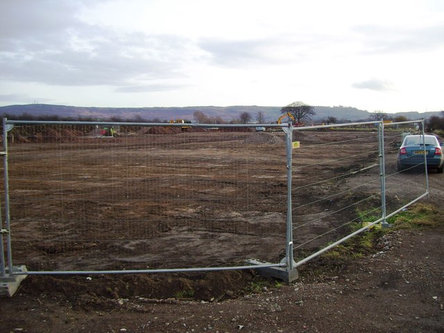
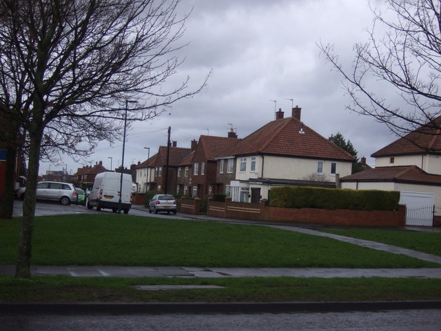
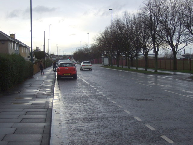
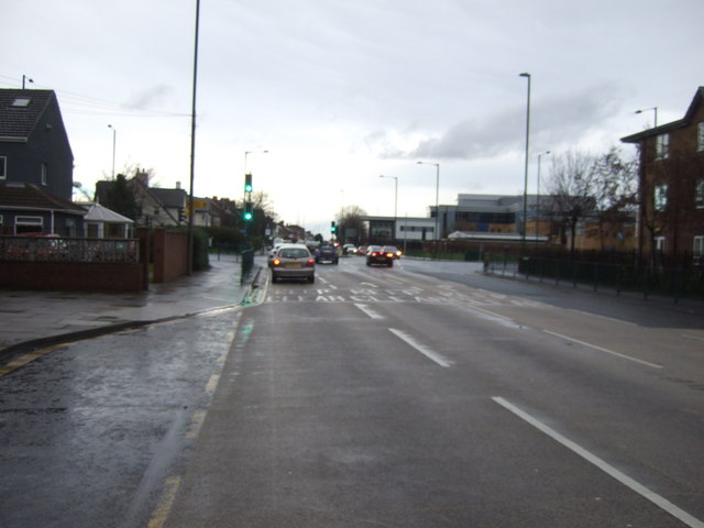
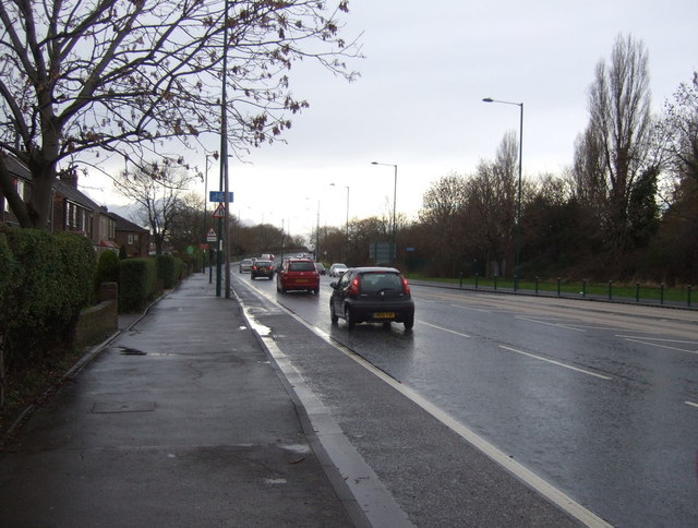
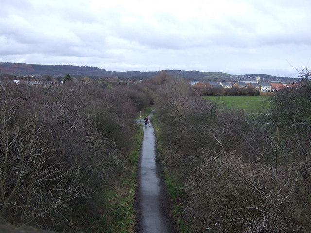
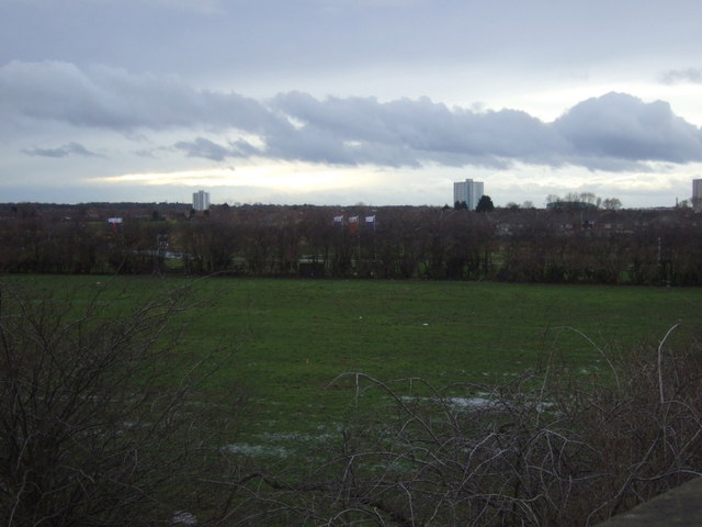
South Bank Images

Images are sourced within 2km of 54.576848/-1.166115 or Grid Reference NZ5420. Thanks to Geograph Open Source API. All images are credited.

Pipelines and slag heap, South Bank Pipelines passing over internal works road at the site of the former Dorman Long Coke Works.
Pipelines and slag heap, South Bank
Pipelines passing over internal works road at the site of the former Dorman Long Coke Works.
The Demolished Dorman Long Tower The remains of the iconic Dorman Long coal tower at the former coke works, built 1956. The tower was deemed too costly to repair and use as a centrepiece of the redevelopment of the coke works area, and was demolished in the early hours of 19th September 2021 despite last minute listing as a Grade II building on 10th September. The listing was revoked by Culture Secretary Nadine Dorries. Compare with image showing the derelict tower in 2020. <a href="https://www.geograph.org.uk/photo/6541120">NZ5321 : Tower, South Bank Coke Works</a>
The Demolished Dorman Long Tower
The remains of the iconic Dorman Long coal tower at the former coke works, built 1956. The tower was deemed too costly to repair and use as a centrepiece of the redevelopment of the coke works area, and was demolished in the early hours of 19th September 2021 despite last minute listing as a Grade II building on 10th September. The listing was revoked by Culture Secretary Nadine Dorries. Compare with image showing the derelict tower in 2020. NZ5321 : Tower, South Bank Coke Works
Middlesbrough Road, South Bank – 1971 Classic South Bank ironworks scenery with a Teesside trolleybus on the final day of trolleybus operation. It is T285, formerly TRTB no.5, a Sunbeam F4 of 1950 rebodied by Roe in 1965. This is one of a series of views featuring buses in the 60s, 70s, and 80s. <a title="https://www.geograph.org.uk/search.php?i=137652761" href="https://www.geograph.org.uk/search.php?i=137652761">Link</a>
Middlesbrough Road, South Bank – 1971
Classic South Bank ironworks scenery with a Teesside trolleybus on the final day of trolleybus operation. It is T285, formerly TRTB no.5, a Sunbeam F4 of 1950 rebodied by Roe in 1965. This is one of a series of views featuring buses in the 60s, 70s, and 80s. Link
Crossroads, South Bank – 1971 Middlesbrough Road at Normanby Road. Today, this bit of Middlesbrough Road effectively no longer exists as a result of its replacement by the modern A66 <a title="https://www.geograph.org.uk/photo/145693" href="https://www.geograph.org.uk/photo/145693">Link</a> . All the buildings on the right hand side have been demolished. On the left the double doors are the entrance to the local Post Office and Savings Bank, built into what had been the Workers' Institute.

The view was taken on the last day of operation of trolleybuses on Teesside. Trolleybus T291 was one of 5 bought second-hand from Reading in 1969 to shore up the ageing fleet. It is a Sunbeam F4A with Burlingham bodywork, new in 1961.

This is one of a series of views featuring buses in the 60s, 70s, and 80s. <a title="https://www.geograph.org.uk/search.php?i=137652761" href="https://www.geograph.org.uk/search.php?i=137652761">Link</a>
Crossroads, South Bank – 1971
Middlesbrough Road at Normanby Road. Today, this bit of Middlesbrough Road effectively no longer exists as a result of its replacement by the modern A66 Link . All the buildings on the right hand side have been demolished. On the left the double doors are the entrance to the local Post Office and Savings Bank, built into what had been the Workers' Institute. The view was taken on the last day of operation of trolleybuses on Teesside. Trolleybus T291 was one of 5 bought second-hand from Reading in 1969 to shore up the ageing fleet. It is a Sunbeam F4A with Burlingham bodywork, new in 1961. This is one of a series of views featuring buses in the 60s, 70s, and 80s. Link
Middlesbrough Road, South Bank – 1971 This section of Middlesbrough Road has been completely obliterated by the construction of the current A66.

Classic South Bank ironworks scenery, including gasholder and blast furnace, with a Teesside trolleybus on the final day of trolleybus operation.

Trolleybus T291 was one of 5 bought second-hand from Reading in 1969 to shore up the ageing fleet. It is a Sunbeam F4A with Burlingham bodywork, new in 1961.

This is one of a series of views featuring buses in the 60s, 70s, and 80s. <a title="https://www.geograph.org.uk/search.php?i=137652761" href="https://www.geograph.org.uk/search.php?i=137652761">Link</a>
Middlesbrough Road, South Bank – 1971
This section of Middlesbrough Road has been completely obliterated by the construction of the current A66. Classic South Bank ironworks scenery, including gasholder and blast furnace, with a Teesside trolleybus on the final day of trolleybus operation. Trolleybus T291 was one of 5 bought second-hand from Reading in 1969 to shore up the ageing fleet. It is a Sunbeam F4A with Burlingham bodywork, new in 1961. This is one of a series of views featuring buses in the 60s, 70s, and 80s. Link
South Bank Gas Holder I heard the gas holder was going to be demolished — too late.
South Bank Gas Holder
I heard the gas holder was going to be demolished — too late.
Teesdale Way at South Bank Station
The Eston Hotel, Eston A Sam Smith's public house.
The Eston Hotel, Eston
A Sam Smith's public house.
The Eston Hotel, Eston A Sam Smith's public house.
The Eston Hotel, Eston
A Sam Smith's public house.
The Eston Hotel, Eston A Sam Smith's public house.
The Eston Hotel, Eston
A Sam Smith's public house.
The Eston Hotel, Eston A Sam Smith's public house.
The Eston Hotel, Eston
A Sam Smith's public house.
High Farm, Taylor Wimpey Development
Houses on Burns Road
Normanby Road, Eston Heading north towards South Bank.
Normanby Road, Eston
Heading north towards South Bank.
Approaching traffic lights on Normanby Road Heading north towards South Bank.
Approaching traffic lights on Normanby Road
Heading north towards South Bank.
Trunk Road (A1085) Heading west into Middlesbrough.
Trunk Road (A1085)
Heading west into Middlesbrough.
Cycle path on disused railway National Cycle Route 1 heading south.
Cycle path on disused railway
National Cycle Route 1 heading south.
Farmland near Teesville
Show me another place!

South Bank is located at Grid Ref: NZ5420 (Lat: 54.576848, Lng: -1.166115)

Division: North Riding

Unitary Authority: Redcar and Cleveland

Police Authority: Cleveland

What 3 Words

///stage.digs.having. Near South Bank, North Yorkshire

Nearby Locations

South Bank Bank, South

Related Wikis

Eston Grange Power Station

Eston Grange Power Station (also known as Teesside Low Carbon Project) was a proposed power station to be situated near to Eston in Redcar and Cleveland...

St Peter's Catholic College, South Bank

St Peter's Catholic College is a coeducational secondary school located in South Bank, North Yorkshire, England. It is part of the Nicholas Postgate Catholic...

South Bank, Redcar and Cleveland

South Bank is a former industrial town in the Redcar and Cleveland borough in North Yorkshire, England on the south bank of the River Tees. It is 3 miles...

South Bank F.C.

South Bank F.C. were a football club based near Middlesbrough, England. The club claimed to have been founded in 1868, which would have made them one of...

Nearby Amenities

Located within 500m of 54.576848,-1.166115
Traffic Calming: hump
Lat/Long: 54.5756573/-1.1710133
Traffic Calming: hump
Lat/Long: 54.5760081/-1.1706809
Traffic Calming: hump
Lat/Long: 54.575041/-1.1676602
Traffic Calming: hump
Lat/Long: 54.5773698/-1.1714943
Traffic Calming: hump
Lat/Long: 54.5775327/-1.1724358
Police
South Bank Police Station.
Lat/Long: 54.5760638/-1.1722497
Atm
Operator: Tesco Bank
Lat/Long: 54.5726202/-1.1640311
Crossing
Crossing: marked
Lat/Long: 54.5729782/-1.164193
Crossing
Crossing: traffic_signals
Lat/Long: 54.5754203/-1.1716402
Crossing
Crossing: traffic_signals
Lat/Long: 54.5769828/-1.1726787
Crossing
Crossing: unmarked
Crossing Island: yes
Lat/Long: 54.5780465/-1.1734062
Sams Foodstore
Addr City: Middlesbrough
Addr Country: GB
Addr Housenumber: 49
Addr Postcode: TS6 6JU
Addr Street: King Street
Addr Suburb: South Bank
Fhrs Id: 273104
Shop: yes
Lat/Long: 54.576631/-1.1735415
The Kiosk
Addr City: Middlesbrough
Addr Country: GB
Addr Housenumber: 125
Addr Postcode: TS6 6SG
Addr Street: Normanby Road
Addr Suburb: South Bank
Fhrs Id: 273820
Shop: yes
Lat/Long: 54.5756422/-1.1720395
Parking
Access: private
Capacity: 30
Capacity Disabled: 2
Fee: no
Operator: Materils processing institute
Operator Type: private
Parking: surface
Surface: asphalt
Lat/Long: 54.5787761/-1.1600723
The data included in this document is from www.openstreetmap.org. The data is made available under ODbL.

Have you been to South Bank?

Leave your review of South Bank below (or comments, questions and feedback).