South Ballachulish

Settlement in Argyllshire

Scotland

South Ballachulish

A82, North Ballachulish
A82, North Ballachulish Credit: Steven Brown

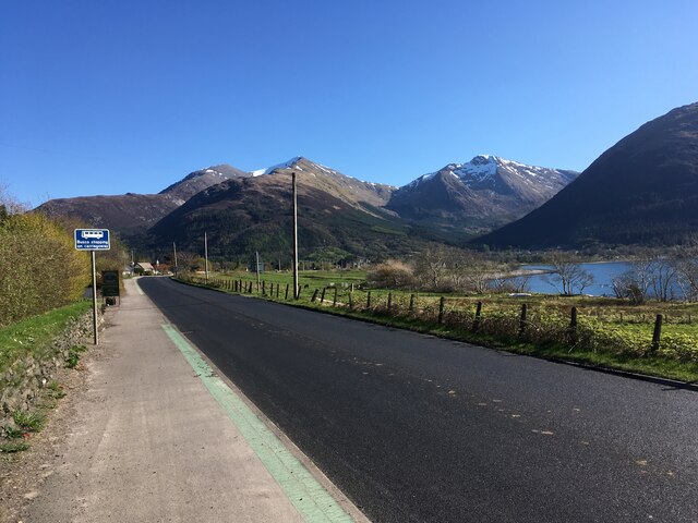
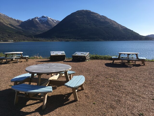
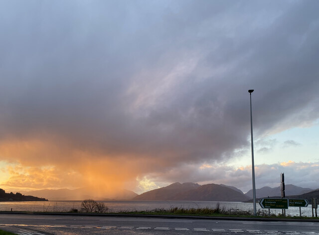
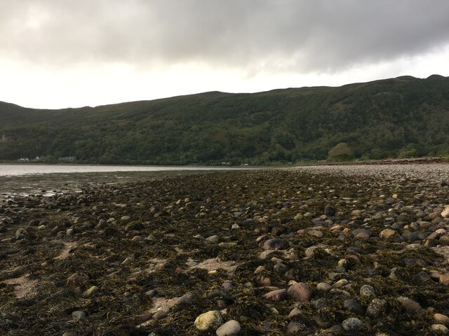
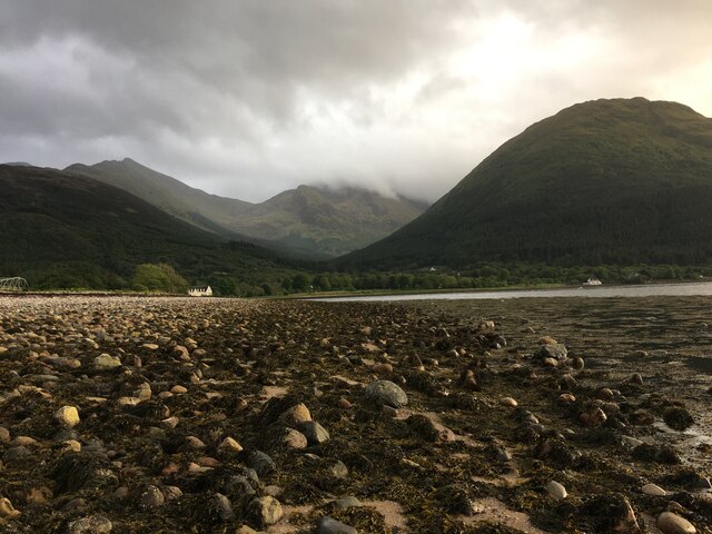
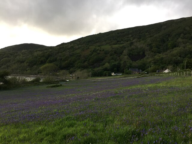
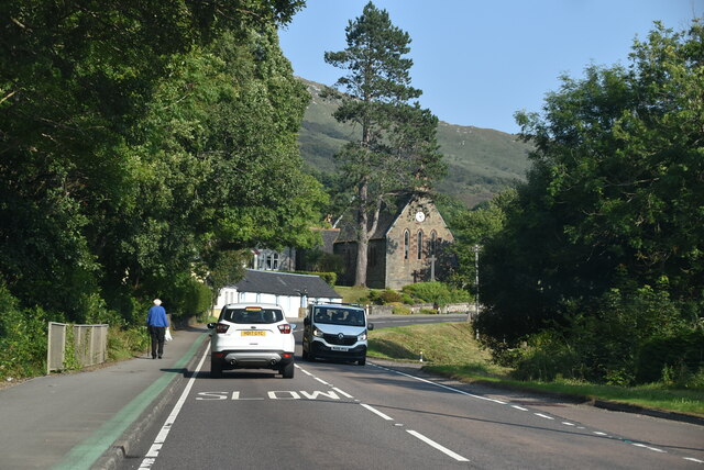
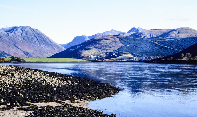
South Ballachulish is a small village located in Argyllshire, Scotland. Situated on the southern shore of Loch Leven, it is nestled between the stunning landscapes of the Scottish Highlands. The village is part of the wider Ballachulish area, which comprises of North and South Ballachulish, and is known for its picturesque surroundings and rich history.

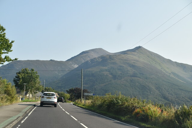
With a population of around 600 people, South Ballachulish offers a tranquil and close-knit community atmosphere. The village is predominantly residential, with a few local businesses catering to the needs of the residents and visitors. The stunning natural beauty of the area is a major draw for tourists, who come to explore the lush green hills, sparkling lochs, and breathtaking mountain views.

South Ballachulish is also well-known for its outdoor recreational opportunities. Hiking and hillwalking enthusiasts can explore nearby Munros such as the iconic Pap of Glencoe, while water sports enthusiasts can take advantage of Loch Leven for activities like kayaking, fishing, and boating.

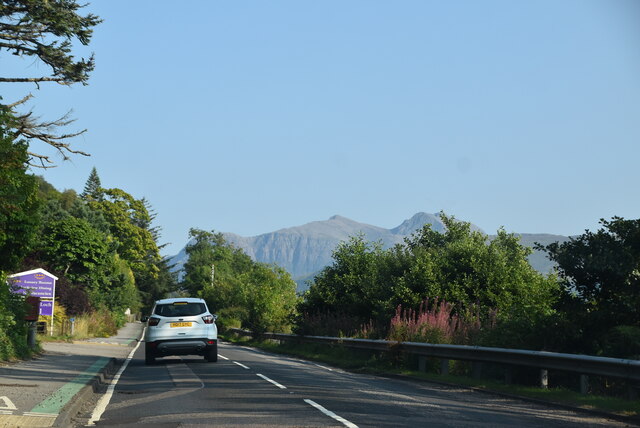
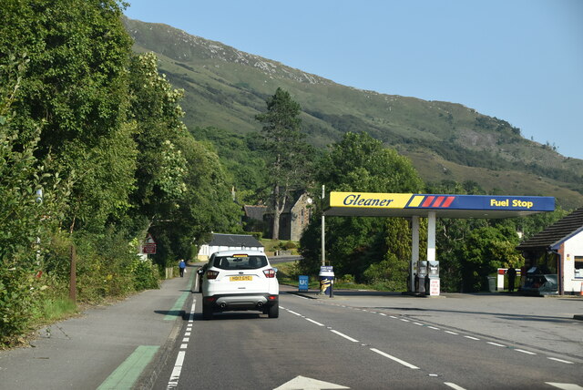
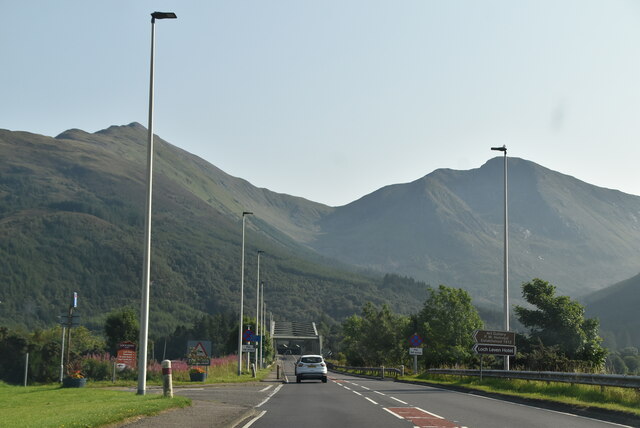
The village is well-connected to the rest of the region by road, with the A828 passing through it, providing access to nearby towns and cities. Additionally, South Ballachulish is within close proximity to the popular tourist destinations of Glencoe and Fort William, offering a range of amenities, including shops, restaurants, and accommodation options.

Overall, South Ballachulish is a charming and idyllic village that offers a peaceful retreat amidst the stunning natural beauty of the Scottish Highlands.

If you have any feedback on the listing, please let us know in the comments section below.

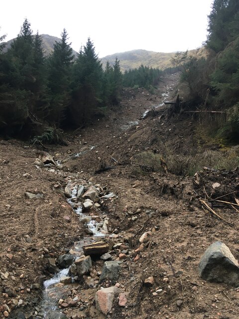
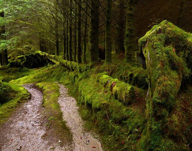
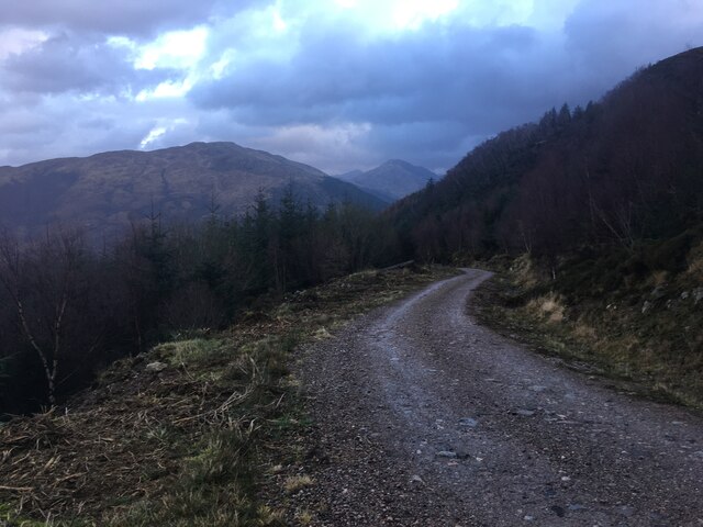
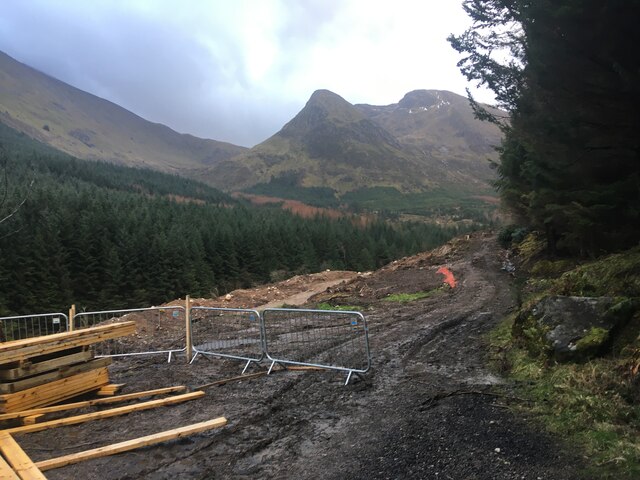
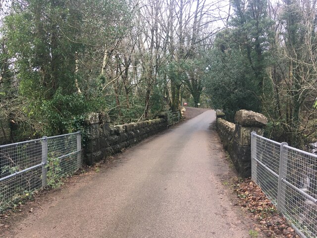
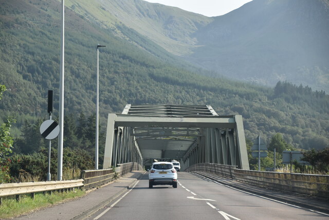
South Ballachulish Images

Images are sourced within 2km of 56.683152/-5.1919171 or Grid Reference NN0459. Thanks to Geograph Open Source API. All images are credited.

A82, North Ballachulish
Picnic benches adjactent to Onich Filling Station
Road junction North Ballachulish
Shoreline at North Ballachulish
Bluebell laden fields, North Ballachulish
A82 The A82 is a trunk road in Scotland. It is the principal route from Lowland Scotland to the western Scottish Highlands, running from Glasgow to Inverness, going by Loch Lomond, Glen Coe, Fort William and the Great Glen. It is 167 miles long.
<span class="nowrap"><a title="https://www.sabre-roads.org.uk/wiki/index.php?title=A82" rel="nofollow ugc noopener" href="https://www.sabre-roads.org.uk/wiki/index.php?title=A82">Link</a><img style="margin-left:2px;" alt="External link" title="External link - shift click to open in new window" src="https://s1.geograph.org.uk/img/external.png" width="10" height="10"/></span>
A82
The A82 is a trunk road in Scotland. It is the principal route from Lowland Scotland to the western Scottish Highlands, running from Glasgow to Inverness, going by Loch Lomond, Glen Coe, Fort William and the Great Glen. It is 167 miles long. LinkExternal link
A82, Onich Services The A82 is a trunk road in Scotland. It is the principal route from Lowland Scotland to the western Scottish Highlands, running from Glasgow to Inverness, going by Loch Lomond, Glen Coe, Fort William and the Great Glen. It is 167 miles long.
<span class="nowrap"><a title="https://www.sabre-roads.org.uk/wiki/index.php?title=A82" rel="nofollow ugc noopener" href="https://www.sabre-roads.org.uk/wiki/index.php?title=A82">Link</a><img style="margin-left:2px;" alt="External link" title="External link - shift click to open in new window" src="https://s1.geograph.org.uk/img/external.png" width="10" height="10"/></span>
A82, Onich Services
The A82 is a trunk road in Scotland. It is the principal route from Lowland Scotland to the western Scottish Highlands, running from Glasgow to Inverness, going by Loch Lomond, Glen Coe, Fort William and the Great Glen. It is 167 miles long. LinkExternal link
A82 The A82 is a trunk road in Scotland. It is the principal route from Lowland Scotland to the western Scottish Highlands, running from Glasgow to Inverness, going by Loch Lomond, Glen Coe, Fort William and the Great Glen. It is 167 miles long.
<span class="nowrap"><a title="https://www.sabre-roads.org.uk/wiki/index.php?title=A82" rel="nofollow ugc noopener" href="https://www.sabre-roads.org.uk/wiki/index.php?title=A82">Link</a><img style="margin-left:2px;" alt="External link" title="External link - shift click to open in new window" src="https://s1.geograph.org.uk/img/external.png" width="10" height="10"/></span>
A82
The A82 is a trunk road in Scotland. It is the principal route from Lowland Scotland to the western Scottish Highlands, running from Glasgow to Inverness, going by Loch Lomond, Glen Coe, Fort William and the Great Glen. It is 167 miles long. LinkExternal link
A82, North Ballachulish The A82 is a trunk road in Scotland. It is the principal route from Lowland Scotland to the western Scottish Highlands, running from Glasgow to Inverness, going by Loch Lomond, Glen Coe, Fort William and the Great Glen. It is 167 miles long.
<span class="nowrap"><a title="https://www.sabre-roads.org.uk/wiki/index.php?title=A82" rel="nofollow ugc noopener" href="https://www.sabre-roads.org.uk/wiki/index.php?title=A82">Link</a><img style="margin-left:2px;" alt="External link" title="External link - shift click to open in new window" src="https://s1.geograph.org.uk/img/external.png" width="10" height="10"/></span>
A82, North Ballachulish
The A82 is a trunk road in Scotland. It is the principal route from Lowland Scotland to the western Scottish Highlands, running from Glasgow to Inverness, going by Loch Lomond, Glen Coe, Fort William and the Great Glen. It is 167 miles long. LinkExternal link
A82 The A82 is a trunk road in Scotland. It is the principal route from Lowland Scotland to the western Scottish Highlands, running from Glasgow to Inverness, going by Loch Lomond, Glen Coe, Fort William and the Great Glen. It is 167 miles long.
<span class="nowrap"><a title="https://www.sabre-roads.org.uk/wiki/index.php?title=A82" rel="nofollow ugc noopener" href="https://www.sabre-roads.org.uk/wiki/index.php?title=A82">Link</a><img style="margin-left:2px;" alt="External link" title="External link - shift click to open in new window" src="https://s1.geograph.org.uk/img/external.png" width="10" height="10"/></span>
A82
The A82 is a trunk road in Scotland. It is the principal route from Lowland Scotland to the western Scottish Highlands, running from Glasgow to Inverness, going by Loch Lomond, Glen Coe, Fort William and the Great Glen. It is 167 miles long. LinkExternal link
Stones on shore of Loch Leven The stones with seaweed are on and alongside the slipway at North Ballachulish which was the northern landing for the vehicle ferry service which operated prior to the opening of the Ballachulish Bridge.
The view beyond is to the east where the Glen Coe peaks rise, Sgorr nam Fiannaidh being at the left side of the image.
Stones on shore of Loch Leven
The stones with seaweed are on and alongside the slipway at North Ballachulish which was the northern landing for the vehicle ferry service which operated prior to the opening of the Ballachulish Bridge. The view beyond is to the east where the Glen Coe peaks rise, Sgorr nam Fiannaidh being at the left side of the image.
Landslide in Glenachulish
Trees growing out of fallen trees in Glenachulish
Forestry road above Glenachulish
Forestry work in Glenachulish
Bridge over river in Glenachulish
A82 approaching Ballachulish Bridge The A82 is a trunk road in Scotland. It is the principal route from Lowland Scotland to the western Scottish Highlands, running from Glasgow to Inverness, going by Loch Lomond, Glen Coe, Fort William and the Great Glen. It is 167 miles long.
<span class="nowrap"><a title="https://www.sabre-roads.org.uk/wiki/index.php?title=A82" rel="nofollow ugc noopener" href="https://www.sabre-roads.org.uk/wiki/index.php?title=A82">Link</a><img style="margin-left:2px;" alt="External link" title="External link - shift click to open in new window" src="https://s1.geograph.org.uk/img/external.png" width="10" height="10"/></span>
A82 approaching Ballachulish Bridge
The A82 is a trunk road in Scotland. It is the principal route from Lowland Scotland to the western Scottish Highlands, running from Glasgow to Inverness, going by Loch Lomond, Glen Coe, Fort William and the Great Glen. It is 167 miles long. LinkExternal link
Show me another place!

South Ballachulish is located at Grid Ref: NN0459 (Lat: 56.683152, Lng: -5.1919171)

Unitary Authority: Highland

Police Authority: Highlands and Islands

What 3 Words

///blues.assurance.insert. Near Glencoe, Highland

Related Wikis

Glenachulish

Glenachulish (Scottish Gaelic: Gleann a' Chaolais: valley of the narrows; pronounced Glen – ah – hoolish) is a hamlet and glen which lie close to the village...

Ballachulish House

Ballachulish House is a restaurant located in Ballachulish, Highland, Scotland. As of 2008, the restaurant holds one star in the Michelin Guide. ��2�...

Ballachulish Ferry railway station

Ballachulish Ferry was a railway station on the south shore at the narrows of Loch Leven at South Ballachulish in Highland region, Scotland. It was on...

Nether Lochaber

Nether Lochaber ( NEDH-ər lokh-AH-bər) in Lochaber, Highland, Scotland, is the modern (1950s) name for the Parish of Ballachulish and Onich. This Parish...

Nearby Amenities

Located within 500m of 56.683152,-5.1919171
Source: PGS
Lat/Long: 56.6872543/-5.1912918
Source: OS OpenData StreetView
Lat/Long: 56.6869008/-5.1921179
Source: PGS
Lat/Long: 56.6863351/-5.1950684
Source: PGS
Lat/Long: 56.6862703/-5.195401
Source: PGS
Lat/Long: 56.685958/-5.1958408
Source: PGS
Lat/Long: 56.685846/-5.1962485
Source: PGS
Lat/Long: 56.6858578/-5.1968386
Source: PGS
Lat/Long: 56.6858813/-5.1973536
Source: PGS
Lat/Long: 56.6857753/-5.1977077
Source: PGS
Lat/Long: 56.6858224/-5.1984909
Post Box
Ref: PH49 120
Source: GPS Survey
Lat/Long: 56.685762/-5.1949074
Glenachulish
Name Gd: Gleann a' Chaolais
Place: village
Population: 102
Wikidata: Q5568123
Wikipedia: en:Glenachulish
Lat/Long: 56.682077/-5.1906109
Power: pole
Lat/Long: 56.6826541/-5.186612
Power: pole
Lat/Long: 56.6836377/-5.1840638
Generator Method: photovoltaic
Generator Output Electricity: yes
Generator Source: solar
Generator Type: solar_photovoltaic_panel
Location: roof
Power: generator
Lat/Long: 56.682983/-5.1866332
Generator Method: photovoltaic
Generator Output Electricity: yes
Generator Source: solar
Generator Type: solar_photovoltaic_panel
Location: roof
Power: generator
Lat/Long: 56.6821061/-5.1888386
Generator Method: photovoltaic
Generator Output Electricity: yes
Generator Source: solar
Generator Type: solar_photovoltaic_panel
Location: roof
Power: generator
Lat/Long: 56.6818736/-5.1910682
Power: pole
Lat/Long: 56.6849851/-5.1930705
Power: pole
Lat/Long: 56.6843959/-5.1917937
Power: pole
Lat/Long: 56.6837594/-5.1905063
Power: pole
Lat/Long: 56.6831141/-5.1891276
The data included in this document is from www.openstreetmap.org. The data is made available under ODbL.

Have you been to South Ballachulish?

Leave your review of South Ballachulish below (or comments, questions and feedback).