South Ashford
Settlement in Kent Ashford
England
South Ashford
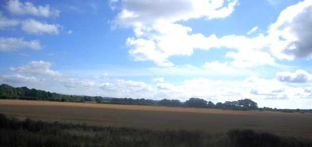
South Ashford is a residential area located in the borough of Ashford, in the county of Kent, England. Situated approximately 1.5 miles south of Ashford town center, it is a popular suburb with a population of around 13,000 people.
The area is well connected, with excellent transport links. The M20 motorway runs to the north of South Ashford, providing easy access to London and the rest of the country. Ashford International Railway Station, located nearby, offers high-speed train services to London, as well as Eurostar services to continental Europe.
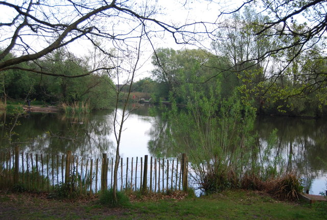
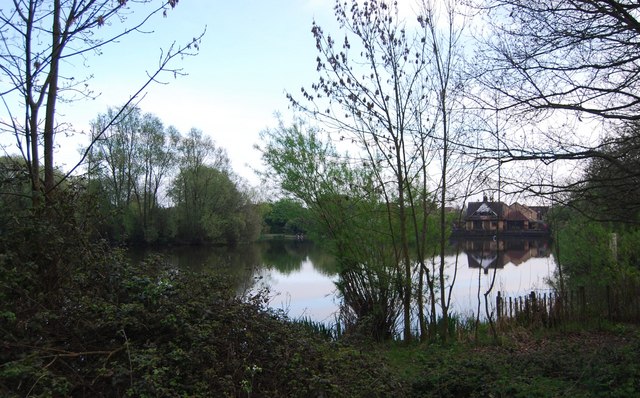
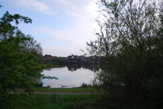
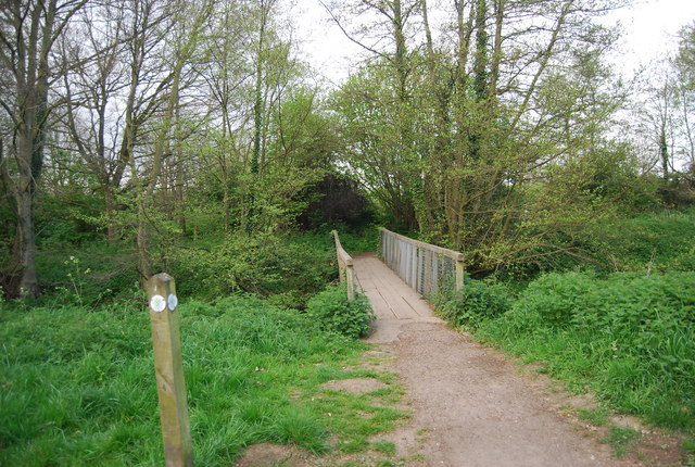
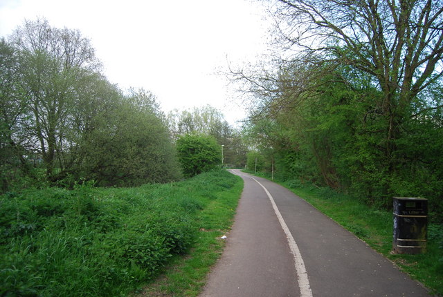
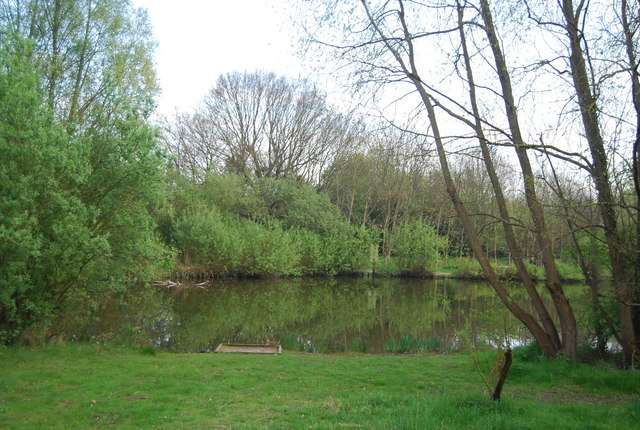
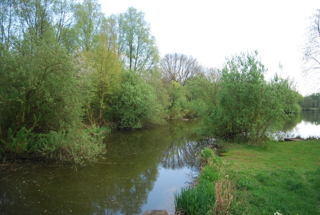
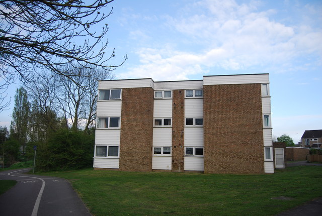
South Ashford is a diverse community, with a range of housing options available. The area boasts a mix of detached and semi-detached houses, as well as modern apartment complexes. Residents can enjoy a peaceful environment, with several parks and green spaces in the vicinity, including Victoria Park and the Great Chart Golf and Leisure complex.
The local amenities in South Ashford are excellent, with a variety of shops, supermarkets, and restaurants available. The area is served by several primary schools and secondary schools, making it an attractive choice for families. Additionally, there are healthcare facilities, including doctors' surgeries and a community hospital, ensuring residents have access to essential services.
South Ashford offers a range of leisure activities, with numerous sports clubs and facilities in the area. The Julie Rose Stadium, located nearby, provides opportunities for athletics, football, and other outdoor activities. The town center of Ashford is easily accessible, offering a wider range of shopping, entertainment, and cultural options.
Overall, South Ashford is a thriving residential area that combines the benefits of a peaceful suburban setting with excellent transport links and a range of amenities, making it an attractive place to live.
If you have any feedback on the listing, please let us know in the comments section below.
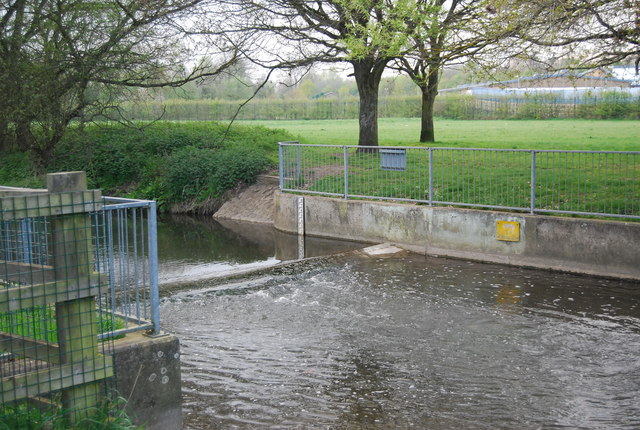
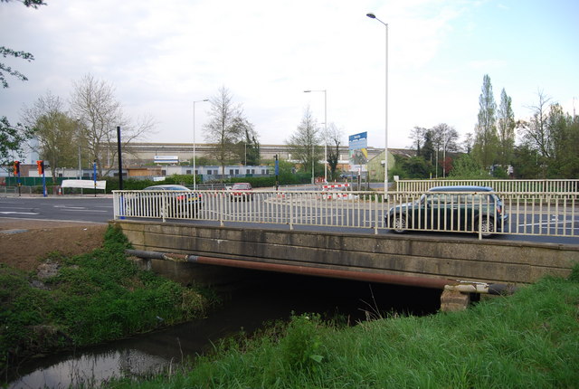
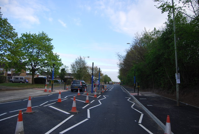
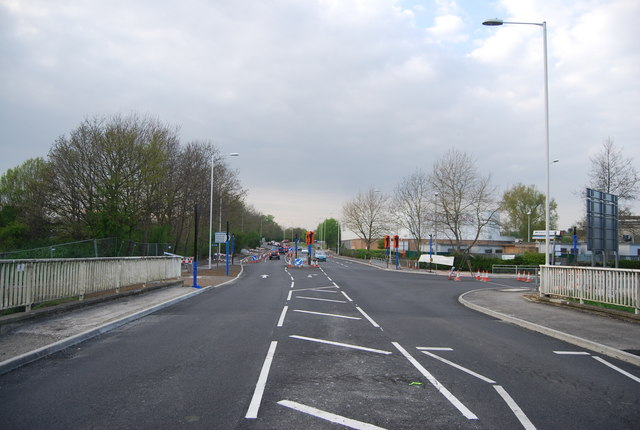
South Ashford Images
Images are sourced within 2km of 51.139611/0.870379 or Grid Reference TR0041. Thanks to Geograph Open Source API. All images are credited.
South Ashford is located at Grid Ref: TR0041 (Lat: 51.139611, Lng: 0.870379)
Administrative County: Kent
District: Ashford
Police Authority: Kent
What 3 Words
///grand.fine.trial. Near Ashford, Kent
Nearby Locations
Related Wikis

Christ Church, Ashford
Christ Church is in the town of Ashford, Kent, England. It is an active Anglican parish church in the deanery of Ashford, the archdeaconry of Maidstone...

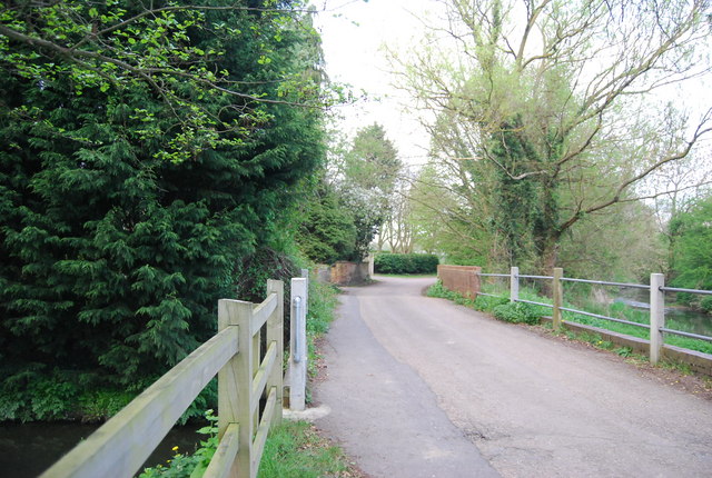
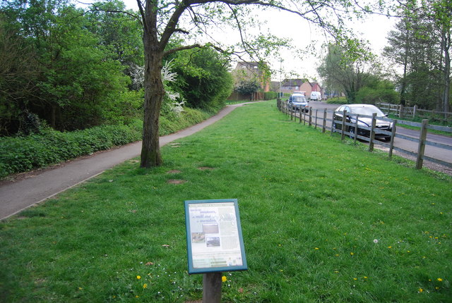
Ashford Green Corridors
Ashford Green Corridors is a 47.4-hectare (117-acre) Local Nature Reserve in Ashford in Kent, England. It is owned and managed by Ashford Borough Council...
Norman Cycles
Norman Cycles was a British bicycle, autocycle, moped, and motorcycle manufacturer in Ashford, Kent, England. The company and its products are remembered...

Curious Brewing
Curious Brewing (formerly Curious Brewery) is a brewery in Ashford, Kent, England. It was established in 2011 by the Kent-based winery group Chapel Down...
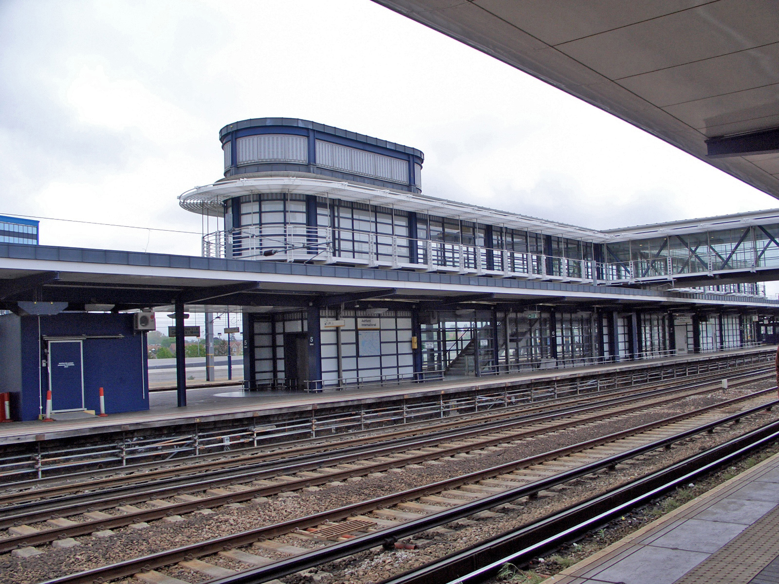
Ashford International railway station
Ashford International railway station is a National Rail station in Ashford, Kent, England. It connects several railway lines, including High Speed 1 and...
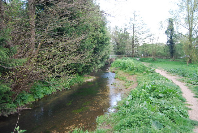
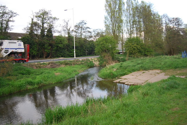
Aylesford Stream
The Aylesford Stream is a 5.4 kilometre long tributary of the East Stour, itself a tributary of the Great Stour in Kent. The stream's source is north of...

Ashford Designer Outlet
The Ashford Designer Outlet is a shopping centre in Ashford, Kent, England. The McArthurGlen Ashford Designer Outlet was designed by the Richard Rogers...

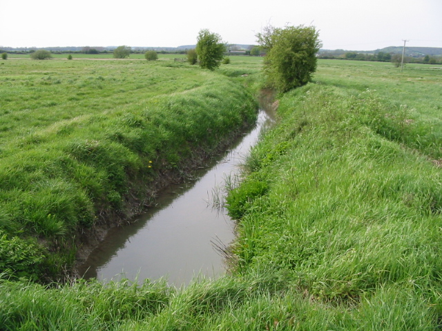
Whitewater Dyke
Whitewater Dyke is a tributary of the Great Stour river, joining with the East Stour and then the Great Stour at Pledge's Mill at the bottom of East Hill...
Nearby Amenities
Located within 500m of 51.139611,0.870379Have you been to South Ashford?
Leave your review of South Ashford below (or comments, questions and feedback).