Blencogo

Settlement in Cumberland Allerdale

England

Blencogo

Disused bus shelter on northside of A596 at Leegate House crossroads
Disused bus shelter on northside of A596 at Leegate House crossroads Credit: Roger Templeman

Blencogo is a small village located in the historical county of Cumberland, in the northwestern part of England. Situated in the Allerdale district, it lies within the picturesque region of the Lake District National Park. Blencogo is nestled between the larger towns of Silloth and Wigton, and is approximately 5 miles north of the latter.

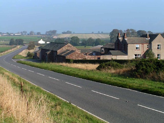
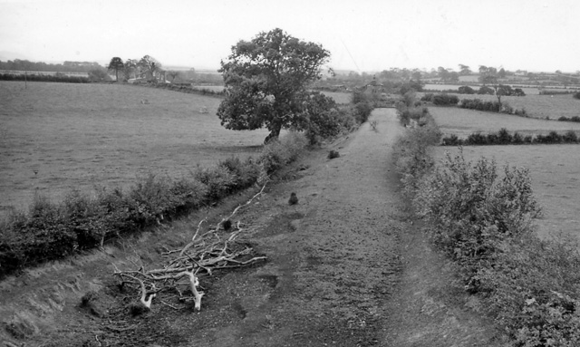
Known for its rural charm and tranquil surroundings, Blencogo offers a peaceful retreat for residents and visitors alike. The village is surrounded by rolling hills, lush green fields, and scenic countryside, making it an ideal destination for nature lovers and hikers. The nearby Solway Coast provides stunning views across the Solway Firth and offers opportunities for birdwatching and coastal walks.

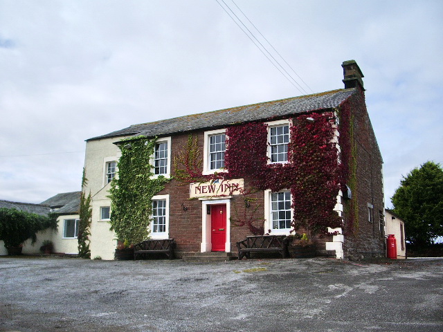
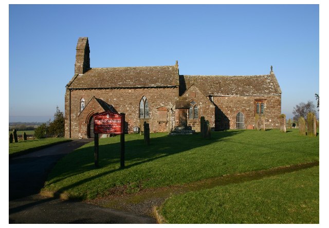
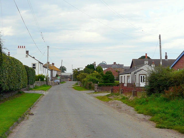
Blencogo itself is a small community with a population of around 200 people. The village is home to a few traditional stone houses, a church, and a local pub. The village church, dedicated to St. John the Baptist, is a historic landmark dating back to the 12th century, with some parts of the building still displaying original Norman architecture.

Although small in size, Blencogo has a strong sense of community and hosts various events throughout the year, including fairs, festivals, and local gatherings. The village's close-knit community is known for its friendly and welcoming nature, making visitors feel at home.

In summary, Blencogo is a charming and idyllic village nestled in the heart of Cumberland's countryside. With its scenic surroundings and strong community spirit, it offers a peaceful and picturesque retreat for those seeking a taste of rural English life.

If you have any feedback on the listing, please let us know in the comments section below.
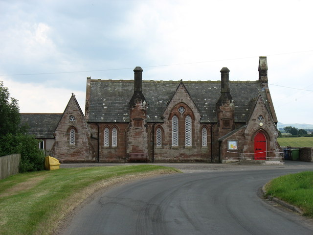
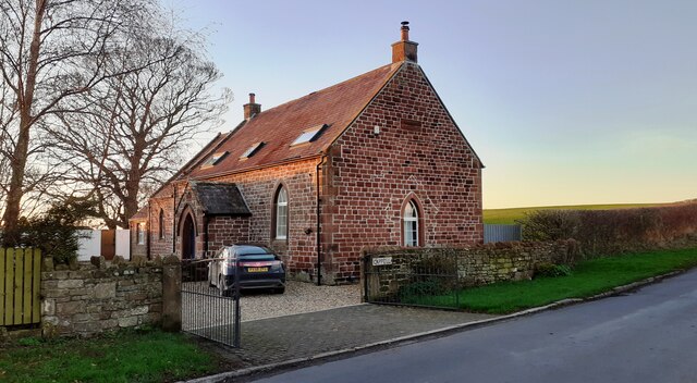
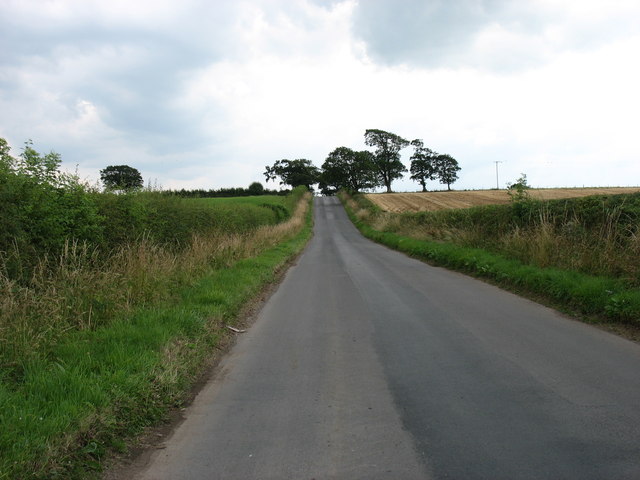
Blencogo Images

Images are sourced within 2km of 54.819952/-3.252037 or Grid Reference NY1947. Thanks to Geograph Open Source API. All images are credited.

Disused bus shelter on northside of A596 at Leegate House crossroads
Old Milestone by the A596, southwest of Wigton Carved stone post by the A596, in parish of Bromfield (Allerdale District), North of Aikbank, on grass verge, on North side of road. Wigton curved red stone, erected by the Cockermouth & Maryport turnpike trust in the 19th century. 

Inscription reads:-
WORKINGTON
20
WIGTON
3 
Rivet benchmark on top. 

Surveyed

Milestone Society National ID: CU_WGWO03
Old Milestone by the A596, southwest of Wigton
Carved stone post by the A596, in parish of Bromfield (Allerdale District), North of Aikbank, on grass verge, on North side of road. Wigton curved red stone, erected by the Cockermouth & Maryport turnpike trust in the 19th century. Inscription reads:- WORKINGTON 20 WIGTON 3 Rivet benchmark on top. Surveyed Milestone Society National ID: CU_WGWO03
Field on south side of A596 east of Leegate House
Fields on northwest side of A596 east of Thornby End
The lane to Kelsick Kelsick is a tiny village west, and slightly north, of Wigton.
The lane to Kelsick
Kelsick is a tiny village west, and slightly north, of Wigton.
Blencogo Village Hall
A track at Greenrigg Villa
The A596 heading for Wigton
A596 nearing Leegate crossroads
B5302 near Dian House Farm
B5302 at Kelsick turn near Moor Row
Wheyrigg Hall Hotel The south frontage
Wheyrigg Hall Hotel
The south frontage
Leegate House on south side of the A596 opposite road to Blencogo Ordnance Survey documents indicate that a benchmark levelled at 32.289m above Newlyn Datum was verified in 197o on the road face of the house at its left hand corner
Leegate House on south side of the A596 opposite road to Blencogo
Ordnance Survey documents indicate that a benchmark levelled at 32.289m above Newlyn Datum was verified in 197o on the road face of the house at its left hand corner
Cappella on north side of A596 near Leegate House
Fields south of Kelsick
The road to Blencogo
The road to Fletchertown
Show me another place!

Blencogo is located at Grid Ref: NY1947 (Lat: 54.819952, Lng: -3.252037)

Administrative County: Cumbria

District: Allerdale

Police Authority: Cumbria

What 3 Words

///type.crusted.encodes. Near Wigton, Cumbria

Related Wikis

Blencogo

Blencogo is a small farming village and former civil parish, now in the parish of Bromfield, in the Cumberland district, in the ceremonial county of Cumbria...

Kelsick

Kelsick is a hamlet in the civil parish of Dundraw in Cumbria, United Kingdom. It is located approximately 1.8 miles (2.9 km) southeast of Abbeytown, 0...

St Mungo's Church, Bromfield

St Mungo's Church is in the village of Bromfield, Cumbria, England. It is an active Anglican parish church in the deanery of Solway, the archdeaconry...

Bromfield, Cumbria

Bromfield is a village and civil parish in Cumbria, in the north of England. It is about five miles north-east of Aspatria. According to the 2001 census...

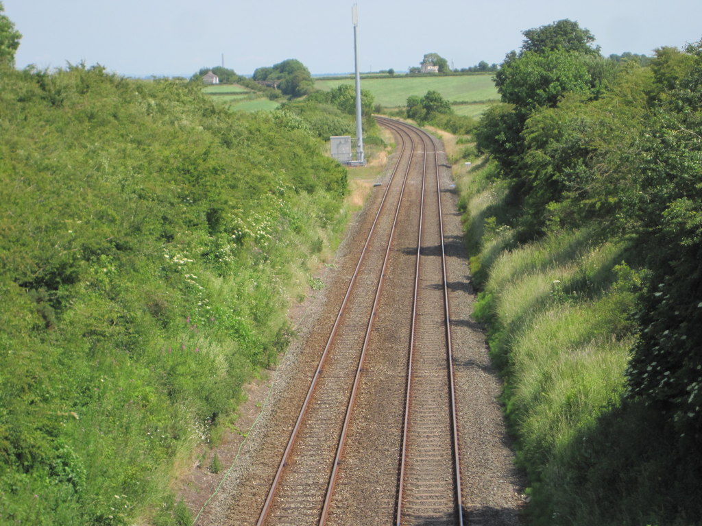
Leegate railway station

Leegate was a railway station on the Maryport and Carlisle Railway (M&CR) and served this rural district in Cumbria. The station was opened by the M&CR...

Dundraw

Dundraw is a hamlet and a civil parish near Abbeytown, in the Allerdale borough of Cumbria, United Kingdom. It is in the North West of England and Cumbria...

Waverton, Cumbria

Waverton is a linear village and civil parish in the Allerdale borough of Cumbria, England. Waverton lies on the main A596 road east of a bridge over the...

Bromfield railway station (Cumbria)

Bromfield was a railway station which served Bromfield, a small settlement in Cumbria on the English side of the Solway Firth. The station opened in 1873...

Nearby Amenities

Located within 500m of 54.819952,-3.252037
Blencogo
Place: village
Wikidata: Q4925989
Lat/Long: 54.8209881/-3.2509667
Village Centre
Local Ref: BY
Naptan AtcoCode: 090002161534
Naptan Bearing: E
Naptan BusStopType: CUS
Naptan CommonName: Village Centre
Naptan Indicator: by
Naptan Landmark: telephone box near Croft House
Naptan NaptanCode: cumdmtwd
Naptan Street: No name
Naptan Verified: no
Source: naptan_import
Lat/Long: 54.8205841/-3.2512602
Post Box
Ref: CA7 202
Lat/Long: 54.8197999/-3.2526595
Kellriggs
Place: locality
Lat/Long: 54.8219052/-3.245909
Generator Method: photovoltaic
Generator Output Electricity: yes
Generator Source: solar
Generator Type: solar_photovoltaic_panel
Location: roof
Power: generator
Lat/Long: 54.8222856/-3.246578
Generator Method: photovoltaic
Generator Output Electricity: yes
Generator Source: solar
Generator Type: solar_photovoltaic_panel
Location: roof
Power: generator
Lat/Long: 54.8210602/-3.2494426
Generator Method: photovoltaic
Generator Output Electricity: yes
Generator Source: solar
Generator Type: solar_photovoltaic_panel
Location: roof
Power: generator
Lat/Long: 54.8177593/-3.2500156
Power: pole
Lat/Long: 54.8159814/-3.2488131
Power: pole
Lat/Long: 54.8165236/-3.2501239
Power: pole
Lat/Long: 54.8170874/-3.2514534
Power: pole
Lat/Long: 54.8176272/-3.2527559
Power: pole
Lat/Long: 54.8182664/-3.2542287
Power: pole
Lat/Long: 54.8188193/-3.2556164
Power: pole
Lat/Long: 54.8194178/-3.2569231
Power: pole
Lat/Long: 54.8199576/-3.2581819
Power: pole
Lat/Long: 54.820489/-3.2594636
Power: pole
Lat/Long: 54.8166864/-3.2529969
Power: pole
Lat/Long: 54.8157408/-3.2532545
Power: pole
Lat/Long: 54.816611/-3.2477038
Power: pole
Lat/Long: 54.8171628/-3.2483291
The data included in this document is from www.openstreetmap.org. The data is made available under ODbL.

Have you been to Blencogo?

Leave your review of Blencogo below (or comments, questions and feedback).