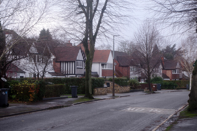
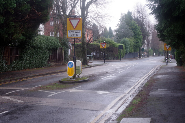
Solihull
Settlement in Warwickshire
England
Solihull
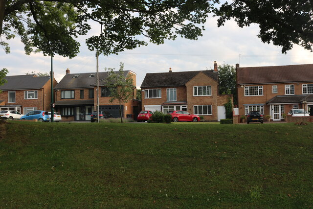
Solihull is a town located in the county of Warwickshire, England. With a population of approximately 123,000 people, it is one of the largest towns in the county. Situated just 9 miles southeast of Birmingham, Solihull forms part of the West Midlands conurbation.
The town has a rich history that dates back to the medieval period. It was originally a small market town and grew significantly during the 20th century, becoming a sought-after residential area due to its close proximity to Birmingham. Today, Solihull is a thriving town with a mix of residential, commercial, and industrial areas.
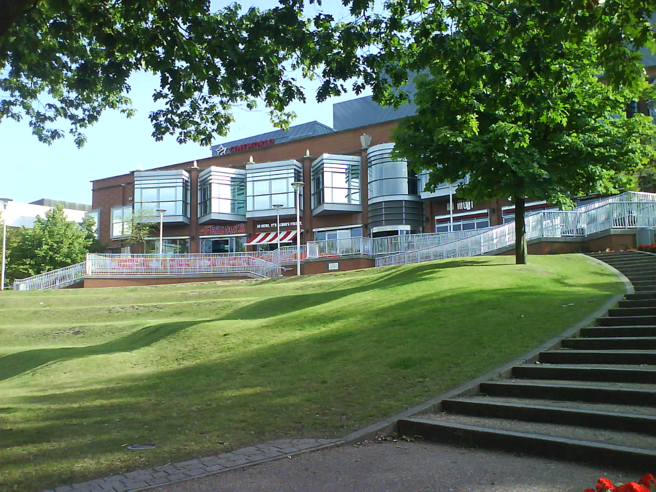
The town center is known for its vibrant shopping district, featuring a variety of high street stores, independent boutiques, and a bustling indoor shopping center called Touchwood. In addition to retail therapy, Solihull offers numerous dining options, ranging from local pubs and traditional British cuisine to international restaurants.
Solihull also boasts several green spaces, including the popular Malvern and Brueton Park. These parks provide residents and visitors with ample opportunities for outdoor activities such as walking, jogging, and picnicking. The town is also home to numerous sports clubs and facilities, catering to various interests, including football, cricket, tennis, and golf.
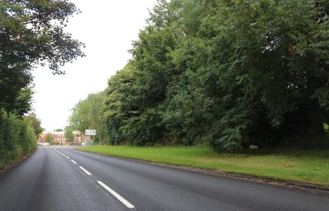
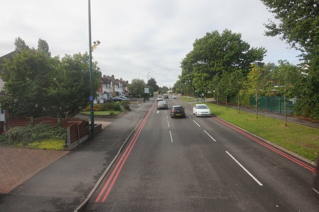
Transport links in Solihull are excellent, with a well-connected railway station providing regular services to Birmingham, London, and other major cities. The town is also conveniently located near the M42 motorway, offering easy access to other parts of the country.
Overall, Solihull is a vibrant and prosperous town that combines historical charm with modern amenities, making it an attractive place to live, work, and visit.
If you have any feedback on the listing, please let us know in the comments section below.
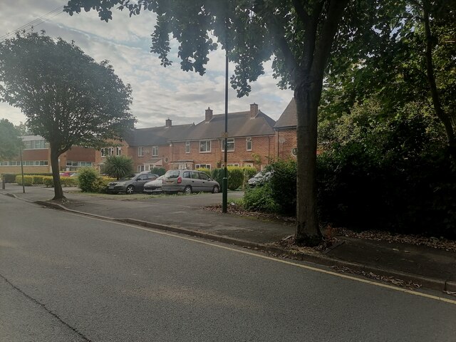
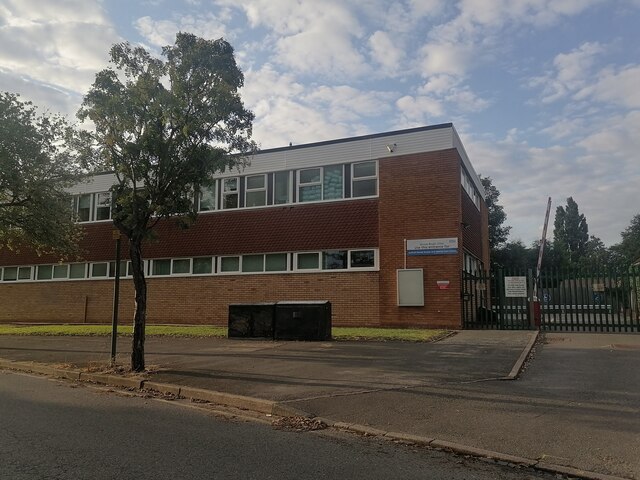
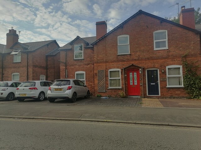
Solihull Images
Images are sourced within 2km of 52.41272/-1.777556 or Grid Reference SP1579. Thanks to Geograph Open Source API. All images are credited.


Solihull is located at Grid Ref: SP1579 (Lat: 52.41272, Lng: -1.777556)
Unitary Authority: Solihull
Police Authority: West Midlands
What 3 Words
///tiny.cycles.lift. Near Solihull, West Midlands
Nearby Locations
Related Wikis
Solihull
Solihull ( SO(H)L-ee-hul, SOH-lee-HUL) is a market town and the administrative centre of the Metropolitan Borough of Solihull, in the West Midlands, England...
Touchwood, Solihull
Touchwood is a shopping centre in Solihull, West Midlands, England. == History == Opened in 2001 and costing £110 million to build, the centre was built...
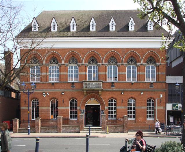
Old Council House, Solihull
The Old Council House is a former municipal building in Poplar Road, Solihull, West Midlands, England. The town hall, which was the meeting place of Solihull...

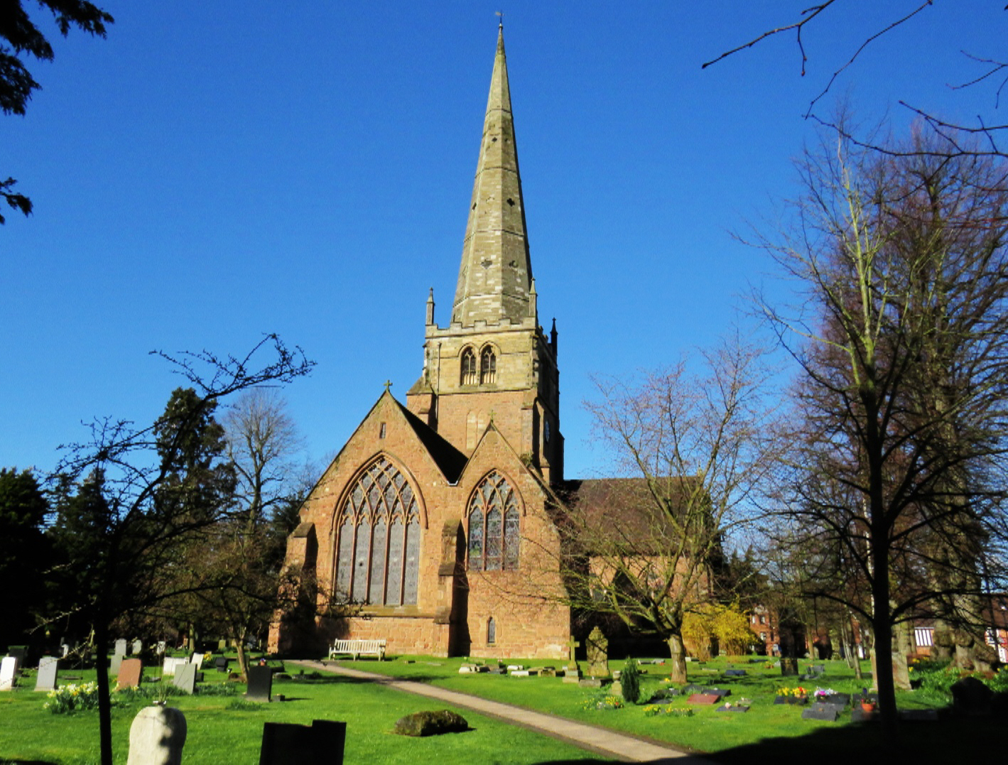
St Alphege Church, Solihull
St Alphege Church, Solihull, is a medieval parish church in the Church of England in Solihull, West Midlands. == History == The church is medieval, dating...
Nearby Amenities
Located within 500m of 52.41272,-1.777556Have you been to Solihull?
Leave your review of Solihull below (or comments, questions and feedback).