Bleak Hill Brow
Settlement in Lancashire
England
Bleak Hill Brow
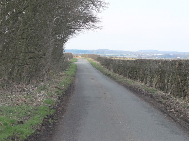
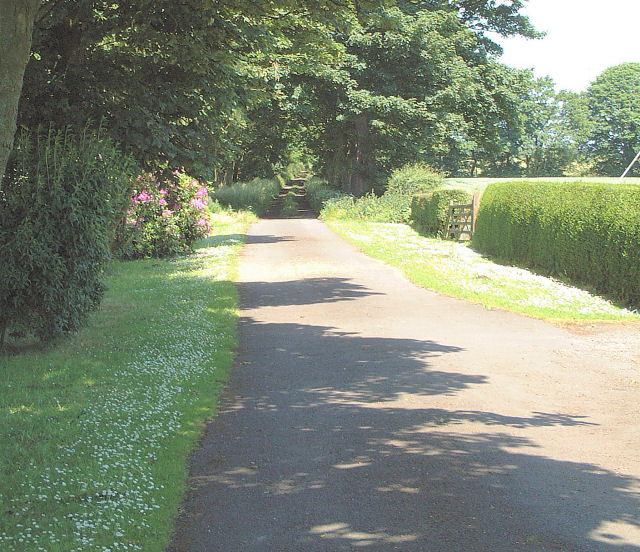
Bleak Hill Brow is a small residential area located in Lancashire, England. Situated on a slight hill, it offers picturesque views of the surrounding countryside. The community is part of the larger town of Skelmersdale and is known for its peaceful and quiet atmosphere.
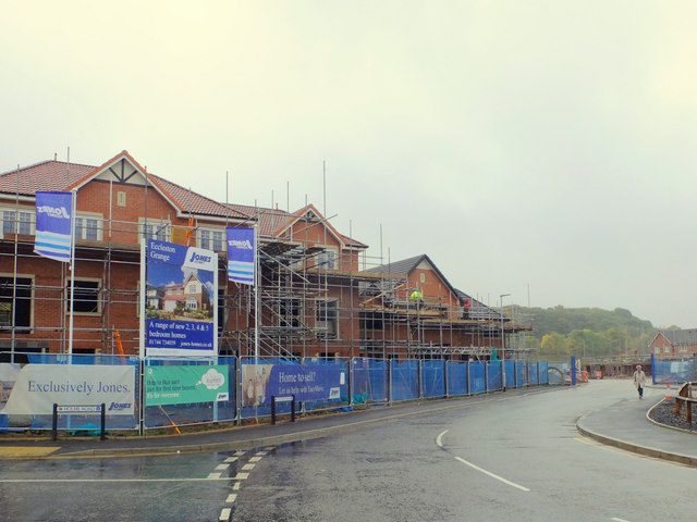
The area is primarily residential, consisting of a mix of detached houses and semi-detached properties. The architecture is varied, with some properties reflecting traditional English design while others boast more modern styles. The houses are typically spacious and well-maintained, surrounded by well-kept gardens.
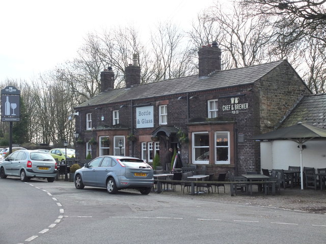
Bleak Hill Brow benefits from its proximity to several amenities. Within a short distance, residents have access to local shops, supermarkets, and restaurants, providing convenience for their daily needs. Additionally, there are several schools in the area, making it an attractive location for families.
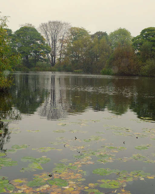
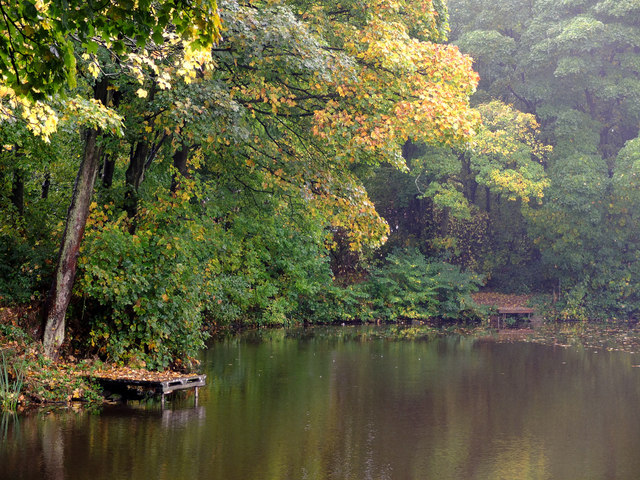
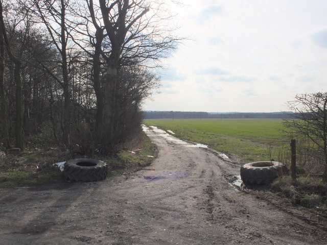
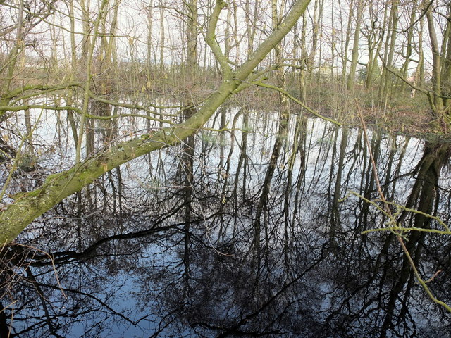
Nature enthusiasts will appreciate the nearby green spaces and parks, offering opportunities for leisurely walks or recreational activities. The area is also well-connected, with good transportation links, including bus services and easy access to major road networks.
Overall, Bleak Hill Brow offers a pleasant and comfortable living environment for its residents. Its peaceful setting, combined with convenient amenities and attractive surroundings, make it an appealing place to call home in the heart of Lancashire.
If you have any feedback on the listing, please let us know in the comments section below.
Bleak Hill Brow Images
Images are sourced within 2km of 53.46679/-2.771233 or Grid Reference SJ4896. Thanks to Geograph Open Source API. All images are credited.


Bleak Hill Brow is located at Grid Ref: SJ4896 (Lat: 53.46679, Lng: -2.771233)
Unitary Authority: St. Helens
Police Authority: Merseyside
What 3 Words
///openly.mutual.seagull. Near Eccleston, Merseyside
Nearby Locations
Related Wikis
Windle, St Helens
Windle is a suburb of St Helens, civil parish and ward of the metropolitan borough of the same name. The population of Windle was given as 10,690 at the...

Liverpool St Helens F.C.
Liverpool St Helens Football Club is an English rugby union team formed from the merger of Liverpool Football Club and St. Helens RUFC. The institution...
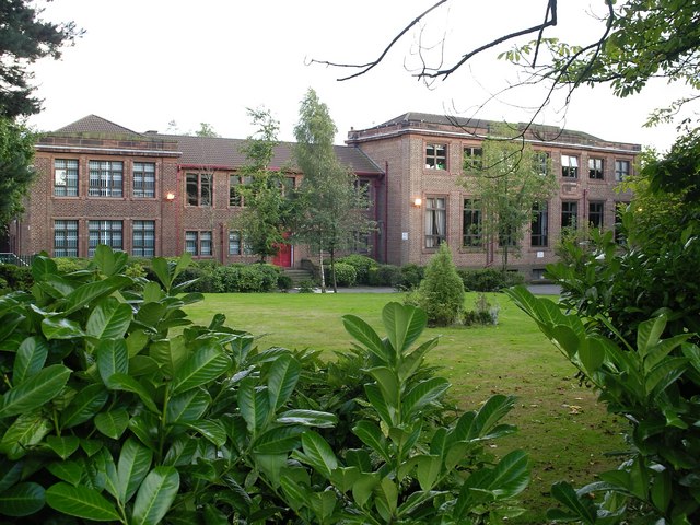
Cowley International College
Cowley International College, formerly Cowley Language College and originally Cowley School, is an 11-18 secondary school located on Cowley Hill, in Windle...
St Helens Town A.F.C.
St Helens Town Association Football Club is an English football club based in St. Helens. The club are members of the Liverpool County Premier League League...
Pilkington F.C.
Pilkington Football Club is a football club based in St Helens, Merseyside, England. They are currently members of the North West Counties League Premier...
De La Salle School, St Helens
De La Salle School, Eccleston, St Helens is an 11-16 mixed comprehensive Roman Catholic high school which is linked to the worldwide La Sallian community...
F.C. St Helens
Football Club St Helens is a football club based in St. Helens, England. They are currently members of the North West Counties League Division One North...
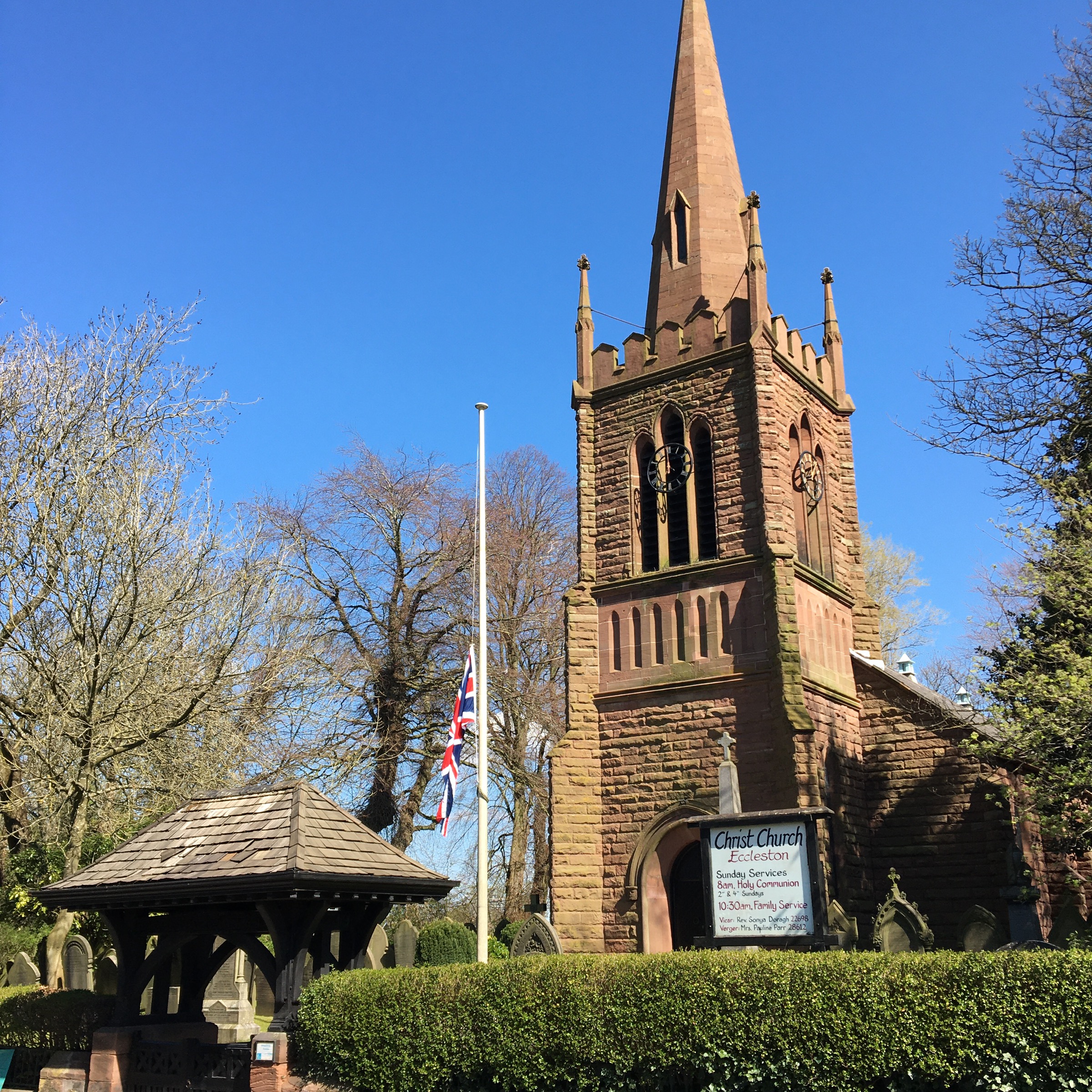
Eccleston, St Helens
Eccleston is a civil parish in the Metropolitan Borough of St Helens, Merseyside, England. At the 2011 census, it had a population of 10,433.Within the...
Nearby Amenities
Located within 500m of 53.46679,-2.771233Have you been to Bleak Hill Brow?
Leave your review of Bleak Hill Brow below (or comments, questions and feedback).