Smallford
Settlement in Hertfordshire St. Albans
England
Smallford
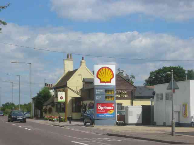
Smallford is a small village located in Hertfordshire, England. Situated approximately 4 miles east of St Albans and 20 miles north of London, Smallford is a serene and picturesque settlement nestled in the beautiful countryside. The village falls within the St Albans City and District council area.
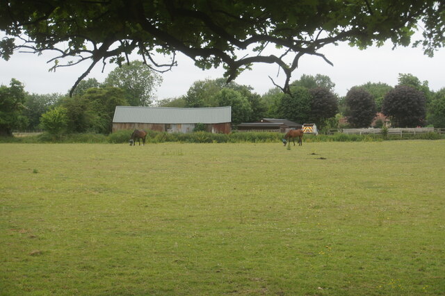
With a population of around 1,000 residents, Smallford maintains its rural charm and tranquility. It is predominantly a residential area, offering a peaceful escape from the hustle and bustle of nearby urban centers. The village is characterized by its traditional architecture, with many charming cottages and houses lining its streets.
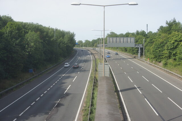
Smallford benefits from its proximity to St Albans, which provides residents with access to a range of amenities and services. The village is well-connected to the surrounding areas through a network of roads, making it easily accessible by car. The nearby A414 offers convenient connections to the M1 and M25 motorways, providing easy access to London and other major cities.
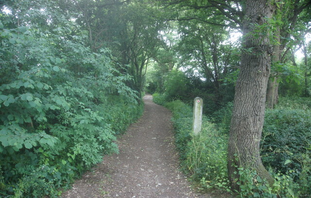
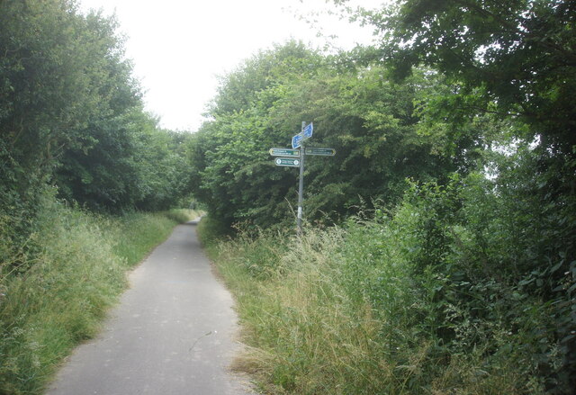
Despite its small size, Smallford boasts several noteworthy attractions. The River Ver flows through the village, offering picturesque views and opportunities for leisurely walks. The surrounding countryside provides ample opportunities for outdoor activities, such as hiking and cycling.
Overall, Smallford is a charming village that offers a peaceful and idyllic lifestyle. Its proximity to larger towns and excellent transport links make it an attractive location for those seeking a balance between country living and access to urban amenities.
If you have any feedback on the listing, please let us know in the comments section below.
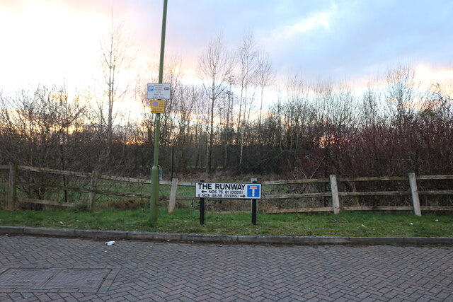
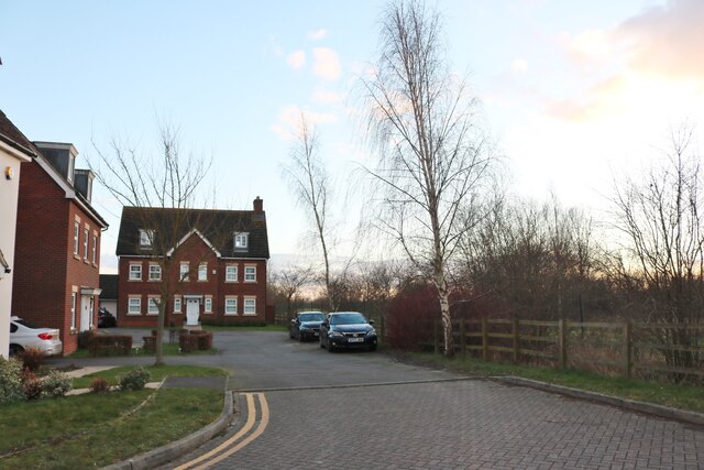
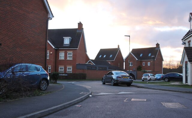
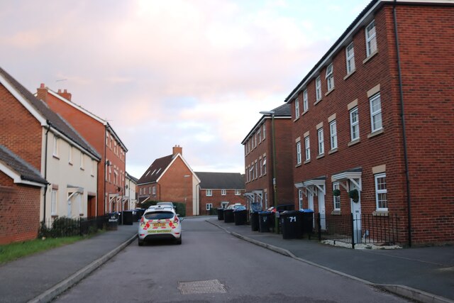
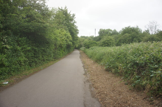
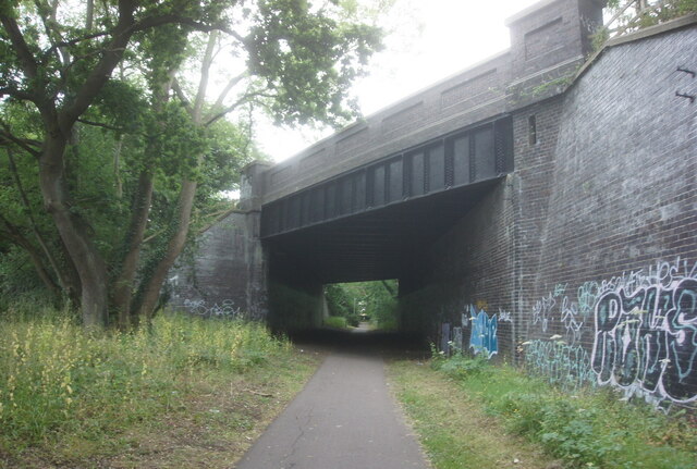
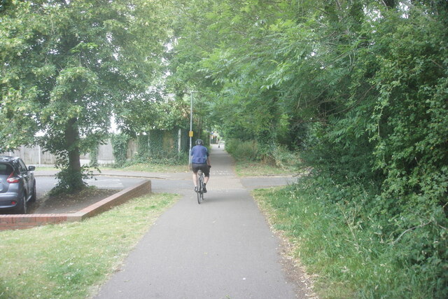
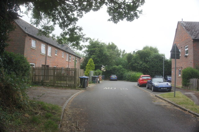
Smallford Images
Images are sourced within 2km of 51.755133/-0.2700344 or Grid Reference TL1907. Thanks to Geograph Open Source API. All images are credited.


Smallford is located at Grid Ref: TL1907 (Lat: 51.755133, Lng: -0.2700344)
Administrative County: Hertfordshire
District: St. Albans
Police Authority: Hertfordshire
What 3 Words
///sends.sung.ranged. Near Hatfield, Hertfordshire
Nearby Locations
Related Wikis
Smallford
Smallford is a village in the City and District of St Albans, Hertfordshire, United Kingdom. It is sandwiched between Hatfield and St Albans. It was served...
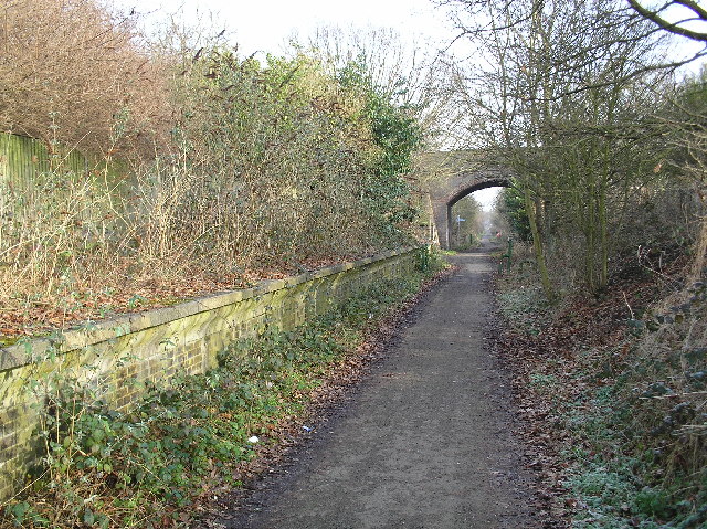
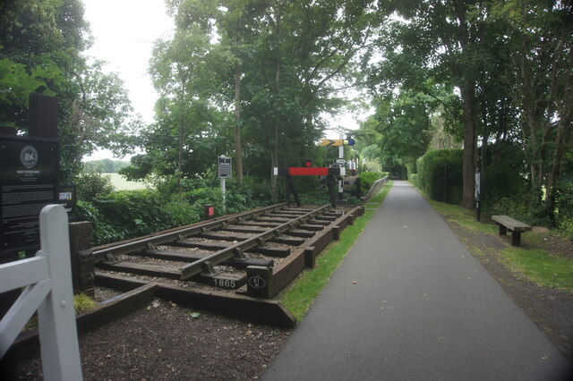
Smallford railway station
Smallford railway station was a station on the former St Albans Branch Line in the UK. The station opened as Springfield in 1866, and was renamed in 1879...
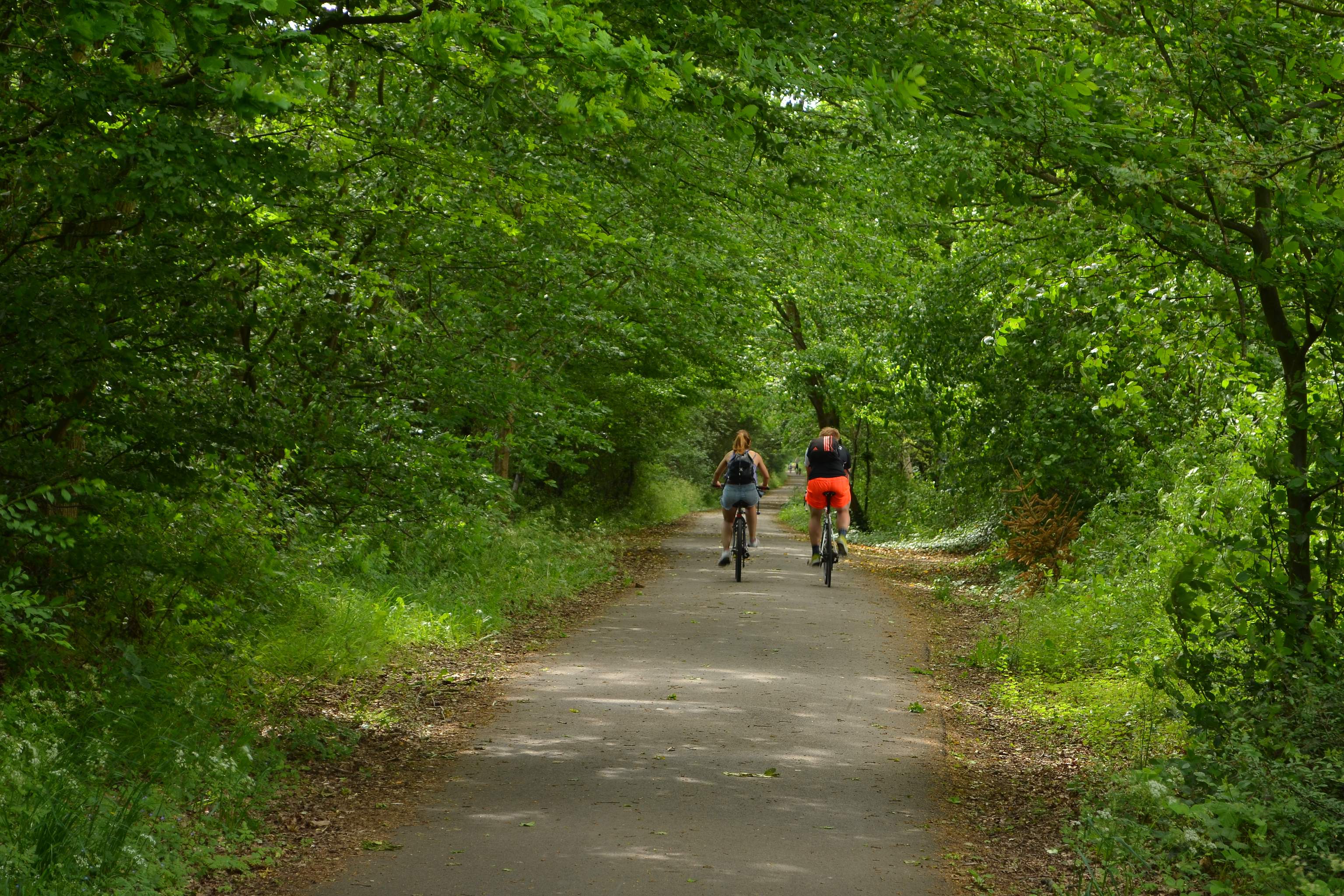
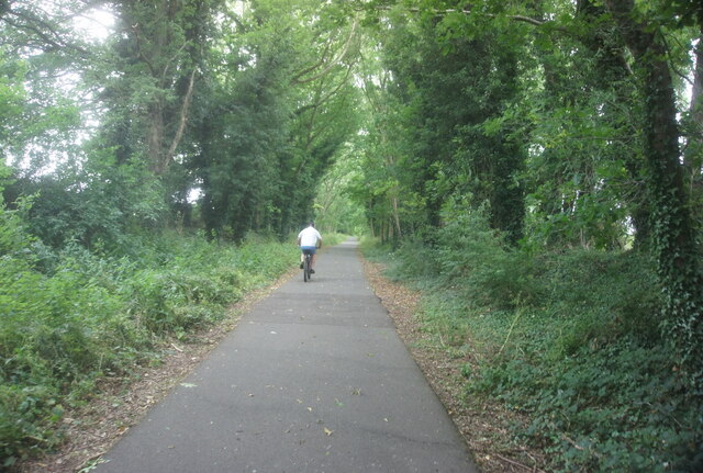
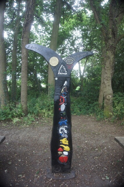
Alban Way
The Alban Way is a traffic free multi-user route along a former railway line in Hertfordshire, England, that has been constructed along the route of the...

Sleapshyde
Sleapshyde is a small village in Hertfordshire, United Kingdom. It is located between Hatfield and St Albans, to the south of Smallford and to the north...

Torilla (house)
Torilla is a Grade II* listed house in Wilkin's Green Lane in Hatfield, England. It was designed in 1934–35 by F. R. S. Yorke in the modernist style and...

Nast Hyde Halt railway station
Nast Hyde Halt is a disused railway station in Hertfordshire. It was opened in 1910 to serve the new houses being built in the area. It is also said that...
St Peter Rural
St Peter Rural was a civil parish in Hertfordshire, England from 1894 to 1947. The local council was St Peter Rural Parish Council. It was created under...
Nicholas Breakspear School
Nicholas Breakspear Catholic School (NBS) is a secondary school with academy status situated on the rural fringe of St Albans, an old Roman city in Hertfordshire...
Nearby Amenities
Located within 500m of 51.755133,-0.2700344Have you been to Smallford?
Leave your review of Smallford below (or comments, questions and feedback).