Boggymead Spring

Wood, Forest in Hertfordshire St. Albans

England

Boggymead Spring

St Alban Way at The Sidings
St Alban Way at The Sidings Credit: Ian S

Boggymead Spring is a natural freshwater spring located in Hertfordshire, England. Situated within a wooded area, it is commonly referred to as Boggymead Wood or Boggymead Forest due to the lush vegetation surrounding the spring. The spring is nestled in a small valley and is fed by an underground water source.

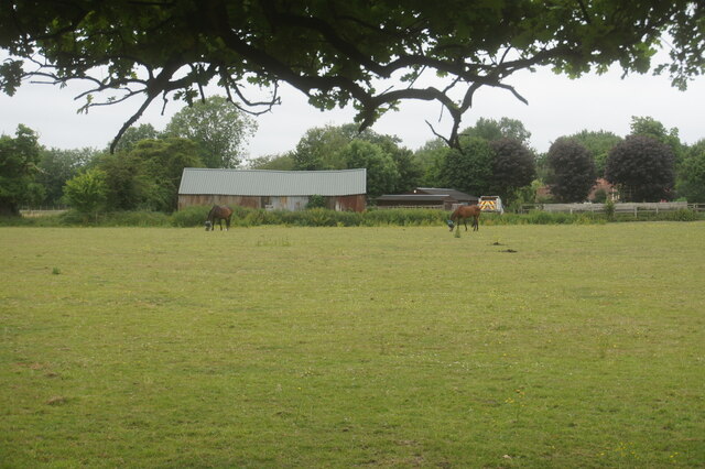
The area surrounding Boggymead Spring is known for its rich biodiversity, with a wide variety of flora and fauna thriving in the moist and fertile environment. The wood is predominantly composed of deciduous trees such as oak, beech, and birch, creating a dense canopy that provides shade and shelter for the diverse wildlife inhabiting the area.

The spring itself is a significant natural feature, as it provides a reliable water source for the local wildlife and contributes to the overall ecosystem of the region. The clear and pristine water that flows from the spring creates small streams that meander through the wood, adding to the enchanting beauty of the landscape.

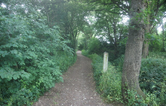
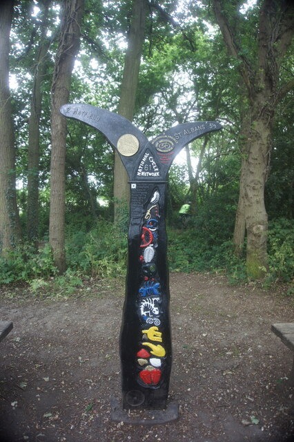
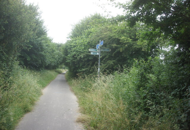
Boggymead Spring is also a popular destination for nature enthusiasts and hikers. The tranquil atmosphere and picturesque surroundings make it an ideal location for walking, picnicking, and wildlife observation. Visitors can explore the numerous trails that wind through the wood, allowing them to fully immerse themselves in the serene ambiance of this natural gem.

In conclusion, Boggymead Spring in Hertfordshire is a captivating woodland area that is home to a natural freshwater spring. Its lush vegetation, diverse wildlife, and scenic trails make it a haven for nature lovers and hikers seeking solace in the beauty of the natural world.

If you have any feedback on the listing, please let us know in the comments section below.

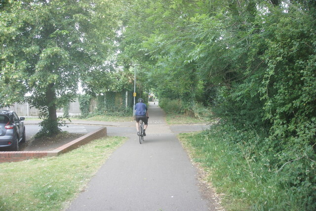
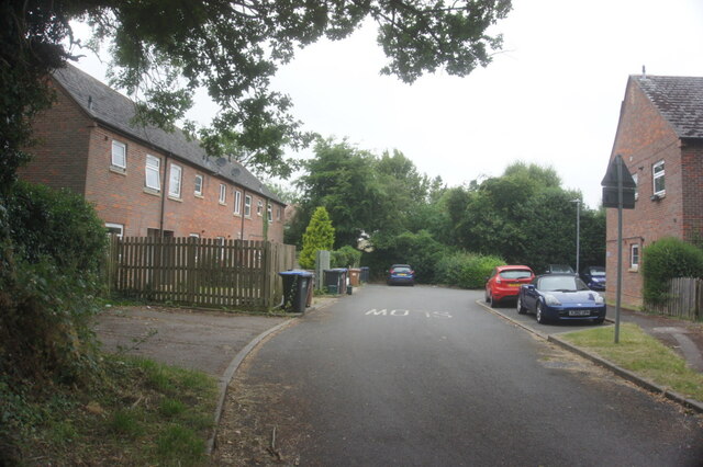
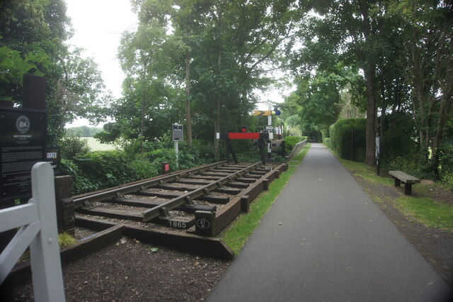
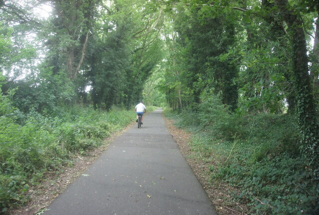
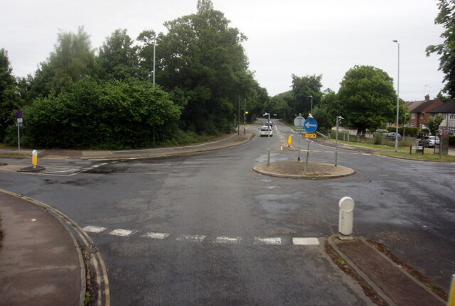
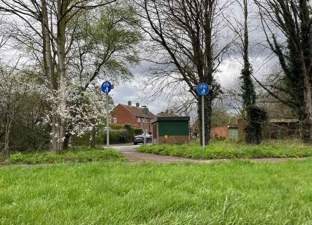
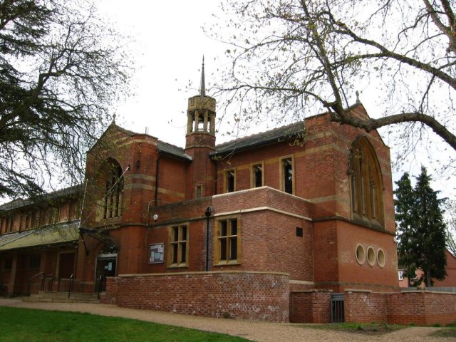
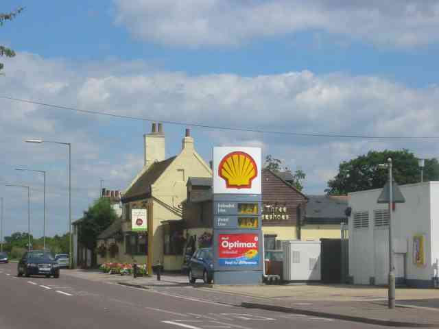
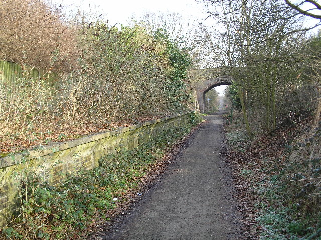
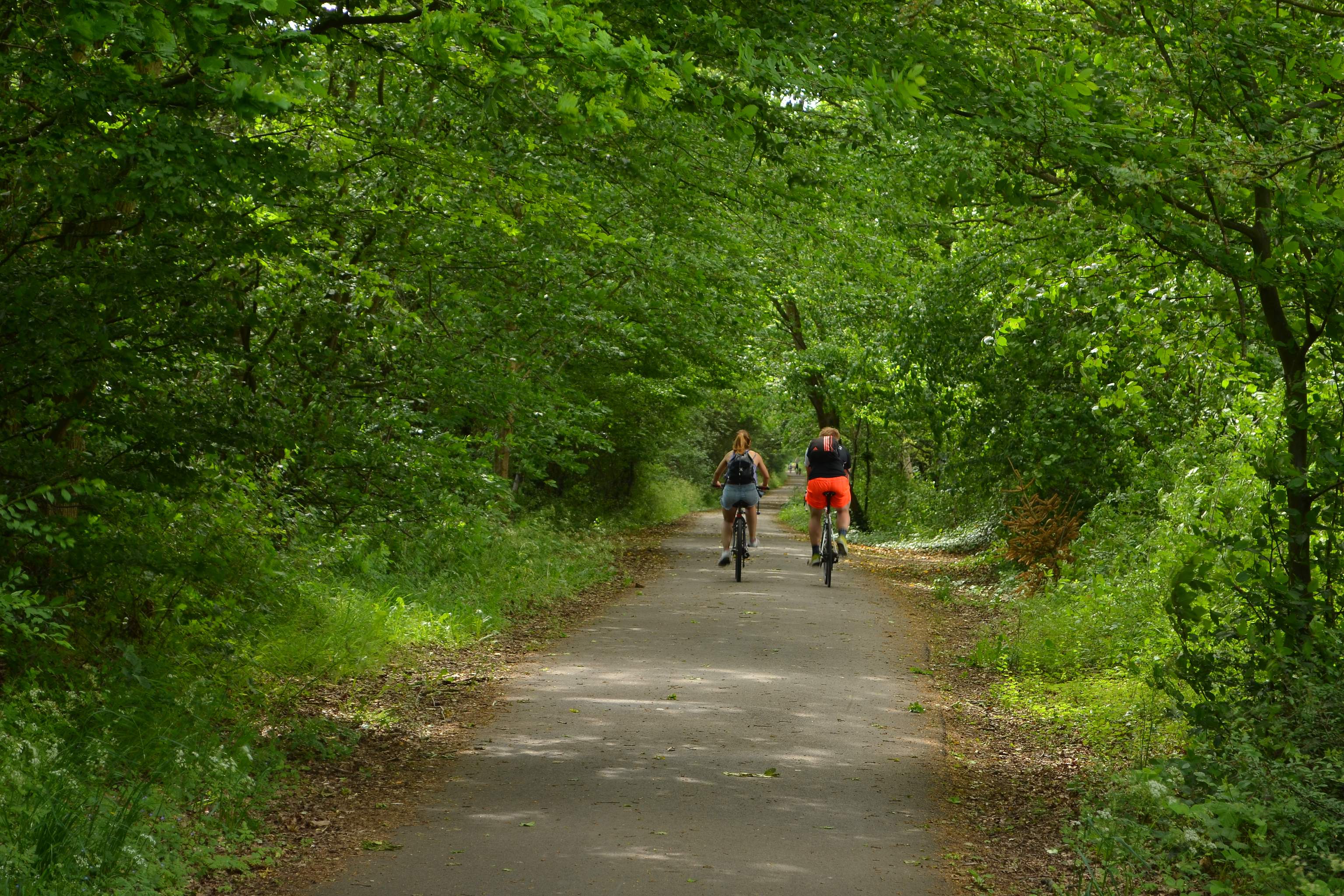
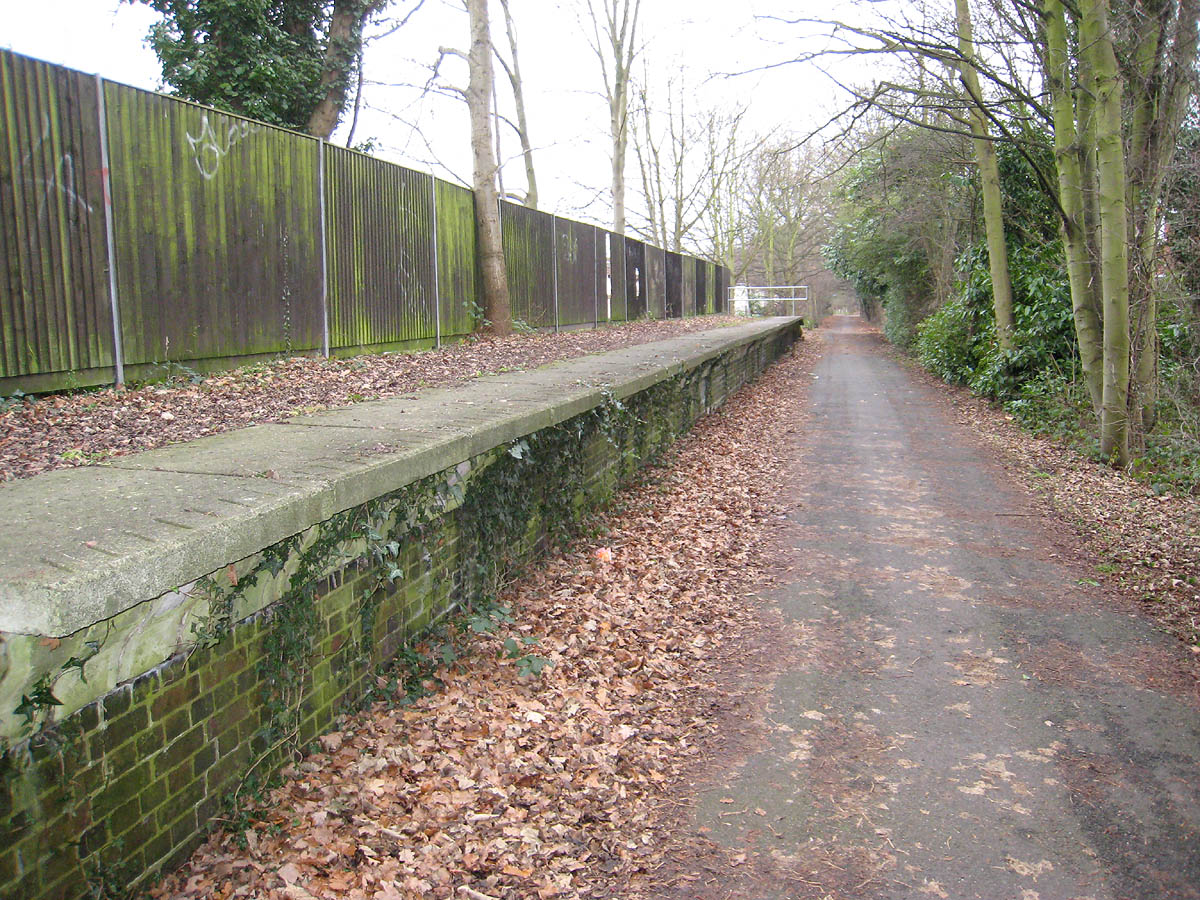
Boggymead Spring Images

Images are sourced within 2km of 51.754118/-0.27499924 or Grid Reference TL1907. Thanks to Geograph Open Source API. All images are credited.

St Alban Way at The Sidings
The Sidings, Hatfield
St Alban Way at Nast Hyde Halt
St Alban Way towards St Albans
Building at Nast Hyde Farm
Byway #51 from St Alban Way
National Cycle Network signpost On St Alban Way.
National Cycle Network signpost
On St Alban Way.
St Alban Way towards St Albans
St Albans Road West at Ellebrook
Cycle path towards Sleapcross Gardens
Byway towards Ellenbrook
The Crooked Billet Pub Beer Garden A place where children play and adults drink seemingly in their separate spheres. A shot in black and white seemed to accentuate the separation of these two worlds.
The Crooked Billet Pub Beer Garden
A place where children play and adults drink seemingly in their separate spheres. A shot in black and white seemed to accentuate the separation of these two worlds.
Church, now used as art centre The church at TL175068 has been converted into an arts centre / theatre sort of thing.
Church, now used as art centre
The church at TL175068 has been converted into an arts centre / theatre sort of thing.
Oaklands College The main admin building of Oaklands College Smallford campus - just East of St Albans
Oaklands College
The main admin building of Oaklands College Smallford campus - just East of St Albans
Greenhouses A couple of the giant greenhouses at Smallford, between St Albans and Hatfield.
Greenhouses
A couple of the giant greenhouses at Smallford, between St Albans and Hatfield.
St Marks Church Colney Heath Wonder if the congregation stays at home and logs on to the sermons
St Marks Church Colney Heath
Wonder if the congregation stays at home and logs on to the sermons
River Colne at Colney Heath I often wonder which Colne came first in the naming 
stages
River Colne at Colney Heath
I often wonder which Colne came first in the naming stages
Pumping Station at Colney Heath This is a pumping station extracting water from one or more borehole.
Round the back of the site the North London Society of Model Engineers has a model railway system open on Summer Sunday afternoons.
Pumping Station at Colney Heath
This is a pumping station extracting water from one or more borehole. Round the back of the site the North London Society of Model Engineers has a model railway system open on Summer Sunday afternoons.
Show me another place!

Boggymead Spring is located at Grid Ref: TL1907 (Lat: 51.754118, Lng: -0.27499924)

Administrative County: Hertfordshire

District: St. Albans

Police Authority: Hertfordshire

What 3 Words

///hurt.veal.intro. Near Hatfield, Hertfordshire

Nearby Locations

Smallford Boggymead Spring

Related Wikis

Smallford

Smallford is a village in the City and District of St Albans, Hertfordshire, United Kingdom. It is sandwiched between Hatfield and St Albans. It was served...

Smallford railway station

Smallford railway station was a station on the former St Albans Branch Line in the UK. The station opened as Springfield in 1866, and was renamed in 1879...

Alban Way

The Alban Way is a traffic free multi-user route along a former railway line in Hertfordshire, England, that has been constructed along the route of the...

St Peter Rural

St Peter Rural was a civil parish in Hertfordshire, England from 1894 to 1947. The local council was St Peter Rural Parish Council. It was created under...

Nicholas Breakspear School

Nicholas Breakspear Catholic School (NBS) is a secondary school with academy status situated on the rural fringe of St Albans, an old Roman city in Hertfordshire...

Sleapshyde

Sleapshyde is a small village in Hertfordshire, United Kingdom. It is located between Hatfield and St Albans, to the south of Smallford and to the north...

Torilla (house)

Torilla is a Grade II* listed house in Wilkin's Green Lane in Hatfield, England. It was designed in 1934–35 by F. R. S. Yorke in the modernist style and...

Hill End railway station

Hill End railway station was on the Great Northern Railway branch from Hatfield to St Albans in Hertfordshire, England. == History == The station, which...

Nearby Amenities

Located within 500m of 51.754118,-0.27499924
Noexit: yes
Lat/Long: 51.7509285/-0.2797492
Post Box
Brand: Royal Mail
Brand Wikidata: Q638098
Brand Wikipedia: en:Royal Mail
Note: Not visible on survey May 2020
Operator: Royal Mail
Operator Wikidata: Q638098
Post Box Type: lamp
Lat/Long: 51.7546093/-0.2690663
Bus Stop
Acrewood Way
Bench: no
Bin: yes
Bus: yes
Naptan AtcoCode: 210021505820
Naptan Bearing: NE
Naptan CommonName: Acrewood Way
Naptan Crossing: opp Industrial Estate
Naptan Indicator: opp
Naptan Landmark: opp Industrial Estate
Naptan NaptanCode: hrtawgtw
Naptan PlusbusZoneRef: STALBCY
Naptan ShortCommonName: NA
Naptan Street: Hatfield Road
Naptan Verified: no
Public Transport: platform
Shelter: no
Source: naptan_import
Tactile Paving: no
Lat/Long: 51.7523369/-0.2787518
Bus Stop
Smallford Roundabout
Bench: yes
Bin: yes
Bus: yes
Naptan AtcoCode: 210021505840
Naptan Bearing: NE
Naptan CommonName: Smallford Roundabout
Naptan Crossing: Notcutts Garden Centre
Naptan Indicator: E-bound
Naptan Landmark: Notcutts Garden Centre
Naptan NaptanCode: hrtawgjp
Naptan PlusbusZoneRef: HATFILD;STALBCY
Naptan ShortCommonName: NA
Naptan Street: Hatfield Road
Naptan Verified: no
Public Transport: platform
Shelter: yes
Source: naptan_import
Tactile Paving: yes
Lat/Long: 51.7551268/-0.2689923
Bus Stop
Smallford Roundabout
Bench: yes
Bin: no
Bus: yes
Naptan AtcoCode: 210021505860
Naptan Bearing: SE
Naptan CommonName: Smallford Roundabout
Naptan Crossing: Hatfield Road
Naptan Indicator: S-bound
Naptan Landmark: Hatfield Road
Naptan NaptanCode: hrtawgjw
Naptan PlusbusZoneRef: HATFILD;STALBCY
Naptan ShortCommonName: NA
Naptan Street: Station Road
Naptan Verified: no
Public Transport: platform
Shelter: yes
Source: naptan_import
Tactile Paving: no
Lat/Long: 51.7542907/-0.2686551
Bus Stop
Smallford Roundabout
Bench: yes
Bus: yes
Naptan AtcoCode: 210021506340
Naptan Bearing: SW
Naptan CommonName: Smallford Roundabout
Naptan Crossing: Smallford Nurseries
Naptan Indicator: W-bound
Naptan Landmark: Smallford Nurseries
Naptan NaptanCode: hrtawdwm
Naptan PlusbusZoneRef: STALBCY
Naptan ShortCommonName: NA
Naptan Street: Hatfield Road
Naptan Verified: no
Public Transport: platform
Shelter: yes
Source: naptan_import
Lat/Long: 51.7546377/-0.270342
Bus Stop
Acrewood Way
Bench: no
Bus: yes
Naptan AtcoCode: 210021506380
Naptan Bearing: SW
Naptan CommonName: Acrewood Way
Naptan Crossing: Industrial Estate
Naptan Indicator: nr
Naptan Landmark: Industrial Estate
Naptan NaptanCode: hrtawdwt
Naptan PlusbusZoneRef: STALBCY
Naptan ShortCommonName: NA
Naptan Street: Hatfield Road
Naptan Verified: no
Public Transport: platform
Shelter: no
Source: naptan_import
Lat/Long: 51.7520079/-0.2796206
Post Box
Brand: Royal Mail
Brand Wikidata: Q638098
Brand Wikipedia: en:Royal Mail
Collection Times: Mo-Fr 18:30
Opening Hours: Mo-Fr 12:00-18:30
Operator: Royal Mail
Operator Wikidata: Q638098
Post Box Type: meter
Ref: AL4 202
Lat/Long: 51.7520141/-0.279072
Crossing
Crossing: uncontrolled
Crossing Island: yes
Crossing Markings: zebra
Crossing Ref: zebra
Source: survey
Tactile Paving: yes
Lat/Long: 51.7550329/-0.2693767
Crossing
Check Date Crossing: 2021-10-21
Crossing: uncontrolled
Crossing Island: yes
Crossing Markings: zebra
Crossing Ref: zebra
Source: survey
Tactile Paving: yes
Lat/Long: 51.7549789/-0.2693428
Crossing
Crossing: unmarked
Crossing Island: yes
Crossing Markings: no
Tactile Paving: no
Lat/Long: 51.7548643/-0.2698819
Bus Stop
Lyon Way
Bench: yes
Bin: yes
Bus: yes
Naptan AtcoCode: 210021506360
Naptan Bearing: SW
Naptan CommonName: Lyon Way
Naptan Crossing: Industrial Estate
Naptan Indicator: adj
Naptan Landmark: Industrial Estate
Naptan NaptanCode: hrtawdwp
Naptan PlusbusZoneRef: STALBCY
Naptan ShortCommonName: NA
Naptan Street: Hatfield Road
Naptan Verified: no
Public Transport: platform
Shelter: yes
Source: naptan_import
Lat/Long: 51.7529495/-0.2757752
Man Made: storage_tank
Lat/Long: 51.7531768/-0.269574
Man Made: storage_tank
Lat/Long: 51.7532005/-0.2694228
Man Made: storage_tank
Lat/Long: 51.7533052/-0.2733821
Man Made: storage_tank
Lat/Long: 51.7534244/-0.2736631
Noexit: yes
Lat/Long: 51.7544591/-0.2693234
Entrance: yes
Lat/Long: 51.7515431/-0.2798244
Noexit: yes
Lat/Long: 51.7518544/-0.2749295
Direction: 160
Generator Method: photovoltaic
Generator Output Electricity: yes
Generator Solar Modules: 200
Generator Source: solar
Generator Type: solar_photovoltaic_panel
Location: roof
Power: generator
Lat/Long: 51.7507384/-0.2765151
Direction: both
Surface: paving_stones
Traffic Calming: table
Lat/Long: 51.7581548/-0.2737588
Crossing
Crossing: unmarked
Crossing Island: yes
Crossing Markings: no
Tactile Paving: no
Lat/Long: 51.7550543/-0.2698062
Crossing
Crossing: unmarked
Crossing Island: yes
Crossing Markings: no
Tactile Paving: no
Lat/Long: 51.7550206/-0.2698792
Crossing
Crossing: unmarked
Crossing Island: yes
Crossing Markings: no
Tactile Paving: no
Lat/Long: 51.7548022/-0.2694964
Crossing
Crossing: unmarked
Crossing Island: yes
Crossing Markings: no
Tactile Paving: no
Lat/Long: 51.7547771/-0.2695618
Crossing
Crossing: unmarked
Crossing Island: yes
Crossing Markings: no
Tactile Paving: no
Lat/Long: 51.7548093/-0.2698312
Glyn Hopkin Nissan
Shop: car
Lat/Long: 51.7521246/-0.2758106
Crossing
Crossing: marked
Lat/Long: 51.7516173/-0.2798542
Noexit: yes
Lat/Long: 51.7508847/-0.2798337
The data included in this document is from www.openstreetmap.org. The data is made available under ODbL.

Have you been to Boggymead Spring?

Leave your review of Boggymead Spring below (or comments, questions and feedback).