Small End

Settlement in Lincolnshire East Lindsey

England

Small End

Pool Decoy, NE of Eastville: aerial 2023 (2)
Pool Decoy, NE of Eastville: aerial 2023 (2) Credit: Simon Tomson

Small End is a small village located in the county of Lincolnshire, England. Situated approximately 5 miles southeast of the city of Lincoln, it is nestled amidst the picturesque countryside that characterizes the area. With a population of around 300 residents, Small End offers a peaceful and quaint setting for those seeking a quiet retreat.

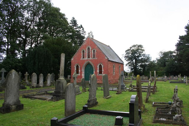
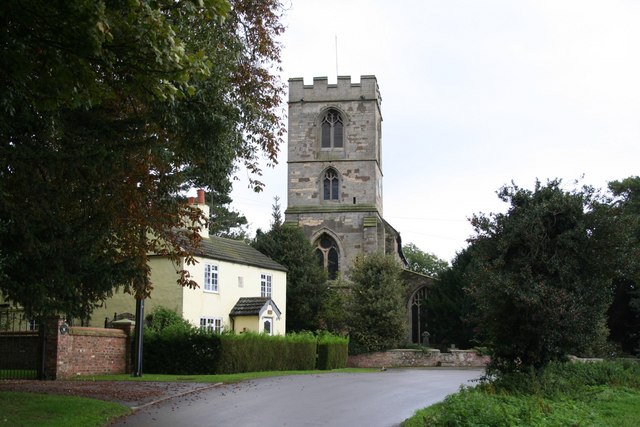
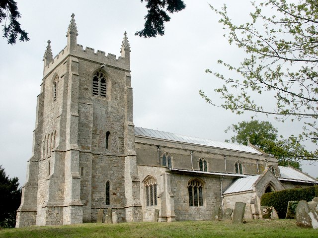
The village is known for its charming architecture, with many of the houses dating back to the 18th and 19th centuries. The traditional stone cottages and well-maintained gardens create an idyllic atmosphere that attracts visitors and locals alike. The centerpiece of the village is its historic church, which stands as a testament to the area's rich heritage.

Despite its small size, Small End boasts a strong sense of community. Residents often gather at the local pub, The Red Lion, which serves as a social hub for the village. The pub provides a welcoming atmosphere where visitors can enjoy a pint of locally brewed ale and engage in friendly conversation.

Surrounded by rolling hills and lush green fields, Small End offers ample opportunities for outdoor activities. The village is located close to several walking and cycling trails that allow visitors to explore the stunning countryside. Additionally, the nearby Lincolnshire Wolds Area of Outstanding Natural Beauty provides a haven for nature enthusiasts, with its diverse wildlife and breathtaking landscapes.

Overall, Small End is a charming and picturesque village that offers a peaceful retreat amidst the natural beauty of Lincolnshire. Its rich history, sense of community, and proximity to stunning countryside make it an appealing destination for visitors seeking tranquility and a taste of rural England.

If you have any feedback on the listing, please let us know in the comments section below.
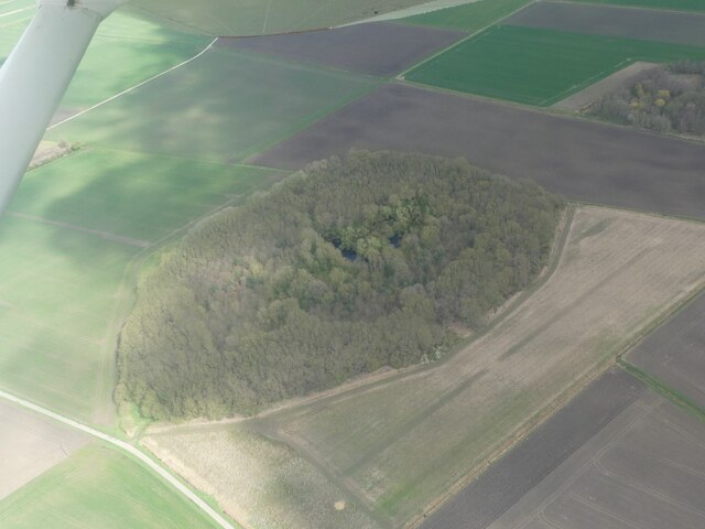
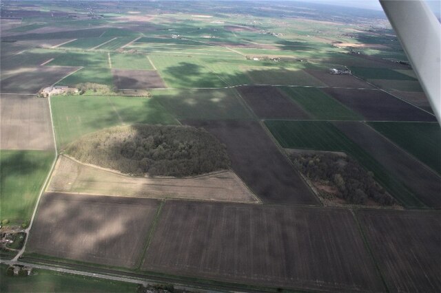
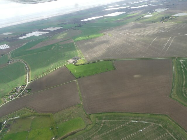
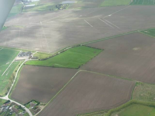
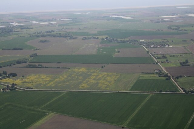
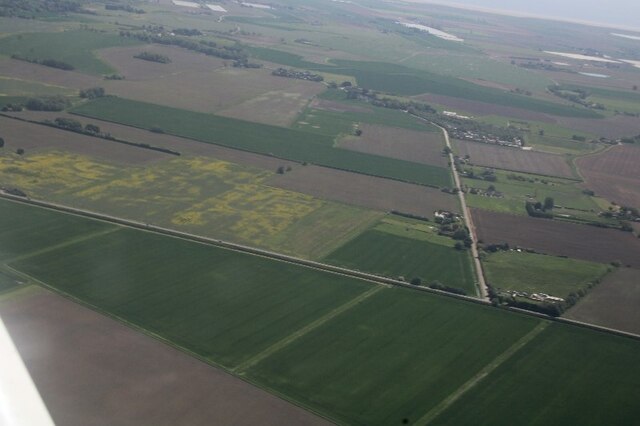
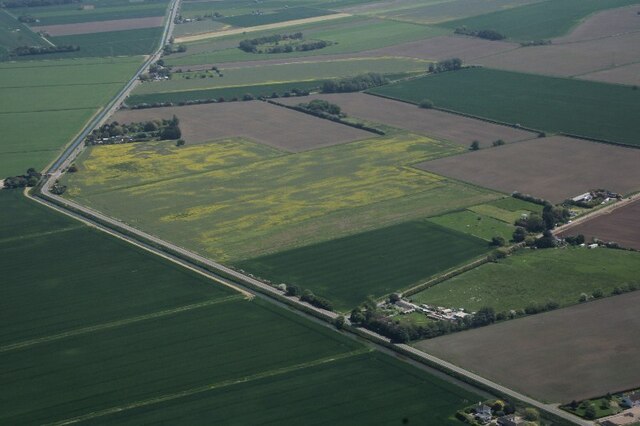
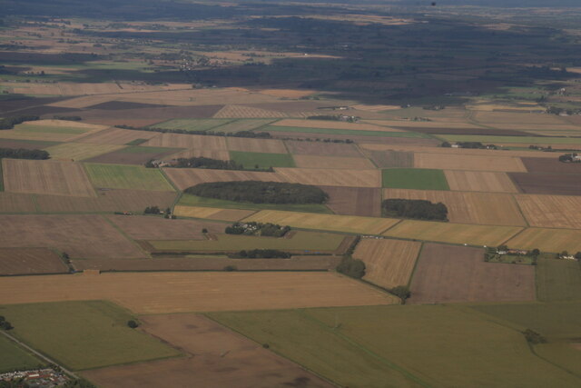
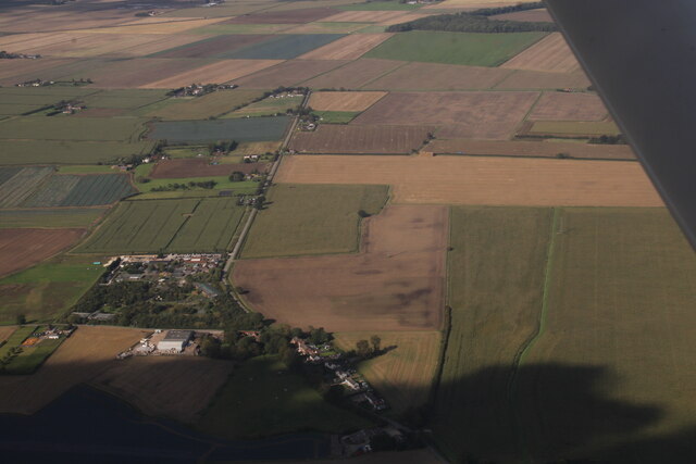
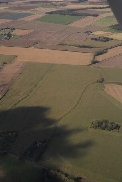
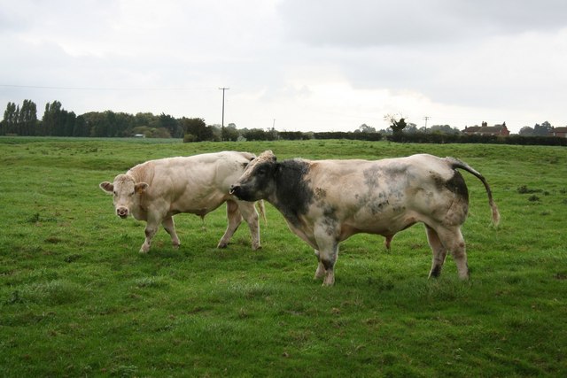
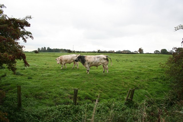
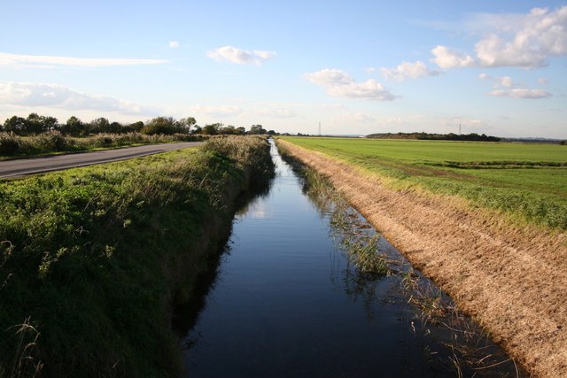
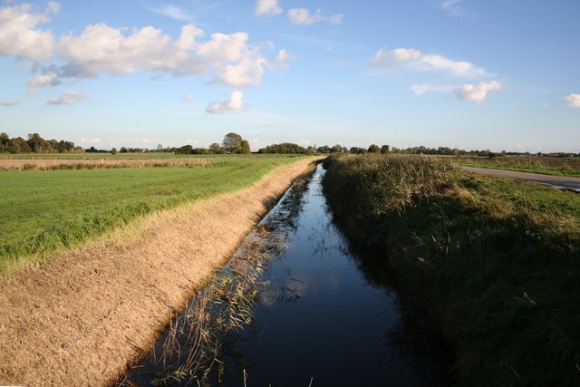
Small End Images

Images are sourced within 2km of 53.080188/0.152396 or Grid Reference TF4455. Thanks to Geograph Open Source API. All images are credited.

Pool Decoy, NE of Eastville: aerial 2023 (2)
Pool Decoy, NE of Eastville: aerial 2023 (3)
Abbey Hills earthworks: aerial 2023 (1) See: <span class="nowrap"><a title="https://www.heritagegateway.org.uk/Gateway/Results_Single.aspx?uid=MLI43536&resourceID=1006" rel="nofollow ugc noopener" href="https://www.heritagegateway.org.uk/Gateway/Results_Single.aspx?uid=MLI43536&resourceID=1006">Link</a><img style="margin-left:2px;" alt="External link" title="External link - shift click to open in new window" src="https://s1.geograph.org.uk/img/external.png" width="10" height="10"/></span>
Abbey Hills earthworks: aerial 2023 (1)
See: LinkExternal link
Abbey Hills earthworks: aerial 2023 (2) See: <span class="nowrap"><a title="https://www.heritagegateway.org.uk/Gateway/Results_Single.aspx?uid=MLI43536&resourceID=1006" rel="nofollow ugc noopener" href="https://www.heritagegateway.org.uk/Gateway/Results_Single.aspx?uid=MLI43536&resourceID=1006">Link</a><img style="margin-left:2px;" alt="External link" title="External link - shift click to open in new window" src="https://s1.geograph.org.uk/img/external.png" width="10" height="10"/></span>
Abbey Hills earthworks: aerial 2023 (2)
See: LinkExternal link
Fodder Dike, and Dickon Hill Road, east of Eastville: aerial 2023 (1) On the drained East Fen. Fodder Dike runs horizontally across the bottom, Dickon Hill Road curves around to the left, with Dickon Hills marked to the right of the curve. Any rise in the ground is not perceptible from the contour lines on the map.

Re. Fodder dike: in the summer season, when the water had drained off or been evaporated, the surface of large districts was exposed, which speedily bore a strong crop of coarse grass, called "fodder." Every person having a right in this Fen, had the privilege of employing two labourers, and with them would go down into the Fen on the evening before Midsummerday, and lie down until they heard the report of a gun which was fired exactly at twelve o'clock (midnight) ; then each party would arise and set to work. By common agreement, all the “fodder” they could mow a path around became the frontager's own property.
After completing one circle, each party hastened to find fresh - ground to encircle in like manner, as long as any remained unclaimed, after which they completed at leisure the mowing of those parts they had surrounded. When the reaping was over, the "fodder" was gathered up, and boated away by the different rows to the fenside, from whence it was carted to their homes.

See: <span class="nowrap"><a title="https://theascoughsofeastfen.weebly.com/life-on-the-east-fen.html" rel="nofollow ugc noopener" href="https://theascoughsofeastfen.weebly.com/life-on-the-east-fen.html">Link</a><img style="margin-left:2px;" alt="External link" title="External link - shift click to open in new window" src="https://s1.geograph.org.uk/img/external.png" width="10" height="10"/></span>

The present-day road along the dike-side is notorious for its undulating surface, as it seemingly tries to sink back into the fen on which it was built.
Fodder Dike, and Dickon Hill Road, east of Eastville: aerial 2023 (1)
On the drained East Fen. Fodder Dike runs horizontally across the bottom, Dickon Hill Road curves around to the left, with Dickon Hills marked to the right of the curve. Any rise in the ground is not perceptible from the contour lines on the map. Re. Fodder dike: in the summer season, when the water had drained off or been evaporated, the surface of large districts was exposed, which speedily bore a strong crop of coarse grass, called "fodder." Every person having a right in this Fen, had the privilege of employing two labourers, and with them would go down into the Fen on the evening before Midsummerday, and lie down until they heard the report of a gun which was fired exactly at twelve o'clock (midnight) ; then each party would arise and set to work. By common agreement, all the “fodder” they could mow a path around became the frontager's own property. After completing one circle, each party hastened to find fresh - ground to encircle in like manner, as long as any remained unclaimed, after which they completed at leisure the mowing of those parts they had surrounded. When the reaping was over, the "fodder" was gathered up, and boated away by the different rows to the fenside, from whence it was carted to their homes. See: LinkExternal link The present-day road along the dike-side is notorious for its undulating surface, as it seemingly tries to sink back into the fen on which it was built.
Fodder Dike, and Dickon Hill Road, east of Eastville: aerial 2023 (2) On the drained East Fen. Fodder Dike runs horizontally across the bottom, Dickon Hill Road curves around to the left, with Dickon Hills marked to the right of the curve. Any rise in the ground is not perceptible from the contour lines on the map.

Re. Fodder dike: in the summer season, when the water had drained off or been evaporated, the surface of large districts was exposed, which speedily bore a strong crop of coarse grass, called "fodder." Every person having a right in this Fen, had the privilege of employing two labourers, and with them would go down into the Fen on the evening before Midsummerday, and lie down until they heard the report of a gun which was fired exactly at twelve o'clock (midnight) ; then each party would arise and set to work. By common agreement, all the “fodder” they could mow a path around became the frontager's own property.
After completing one circle, each party hastened to find fresh - ground to encircle in like manner, as long as any remained unclaimed, after which they completed at leisure the mowing of those parts they had surrounded. When the reaping was over, the "fodder" was gathered up, and boated away by the different rows to the fenside, from whence it was carted to their homes.

See: <span class="nowrap"><a title="https://theascoughsofeastfen.weebly.com/life-on-the-east-fen.html" rel="nofollow ugc noopener" href="https://theascoughsofeastfen.weebly.com/life-on-the-east-fen.html">Link</a><img style="margin-left:2px;" alt="External link" title="External link - shift click to open in new window" src="https://s1.geograph.org.uk/img/external.png" width="10" height="10"/></span>

The present-day road along the dike-side is notorious for its undulating surface, as it seemingly tries to sink back into the fen on which it was built.
Fodder Dike, and Dickon Hill Road, east of Eastville: aerial 2023 (2)
On the drained East Fen. Fodder Dike runs horizontally across the bottom, Dickon Hill Road curves around to the left, with Dickon Hills marked to the right of the curve. Any rise in the ground is not perceptible from the contour lines on the map. Re. Fodder dike: in the summer season, when the water had drained off or been evaporated, the surface of large districts was exposed, which speedily bore a strong crop of coarse grass, called "fodder." Every person having a right in this Fen, had the privilege of employing two labourers, and with them would go down into the Fen on the evening before Midsummerday, and lie down until they heard the report of a gun which was fired exactly at twelve o'clock (midnight) ; then each party would arise and set to work. By common agreement, all the “fodder” they could mow a path around became the frontager's own property. After completing one circle, each party hastened to find fresh - ground to encircle in like manner, as long as any remained unclaimed, after which they completed at leisure the mowing of those parts they had surrounded. When the reaping was over, the "fodder" was gathered up, and boated away by the different rows to the fenside, from whence it was carted to their homes. See: LinkExternal link The present-day road along the dike-side is notorious for its undulating surface, as it seemingly tries to sink back into the fen on which it was built.
Fodder Dike and Blue Bridge: aerial 2023 On the drained East Fen. Blue Bridge left, on the bend.

Re. Fodder Dike: in the summer season, when the water had drained off or been evaporated, the surface of large districts was exposed, which speedily bore a strong crop of coarse grass, called "fodder." Every person having a right in this Fen, had the privilege of employing two labourers, and with them would go down into the Fen on the evening before Midsummerday, and lie down until they heard the report of a gun which was fired exactly at twelve o'clock (midnight) ; then each party would arise and set to work. By common agreement, all the “fodder” they could mow a path around became the frontager's own property.
After completing one circle, each party hastened to find fresh - ground to encircle in like manner, as long as any remained unclaimed, after which they completed at leisure the mowing of those parts they had surrounded. When the reaping was over, the "fodder" was gathered up, and boated away by the different rows to the fenside, from whence it was carted to their homes.

See: <span class="nowrap"><a title="https://theascoughsofeastfen.weebly.com/life-on-the-east-fen.html" rel="nofollow ugc noopener" href="https://theascoughsofeastfen.weebly.com/life-on-the-east-fen.html">Link</a><img style="margin-left:2px;" alt="External link" title="External link - shift click to open in new window" src="https://s1.geograph.org.uk/img/external.png" width="10" height="10"/></span>

The present-day road along the dike-side is notorious for its undulating surface, as it seemingly tries to sink back into the fen on which it was built.
Fodder Dike and Blue Bridge: aerial 2023
On the drained East Fen. Blue Bridge left, on the bend. Re. Fodder Dike: in the summer season, when the water had drained off or been evaporated, the surface of large districts was exposed, which speedily bore a strong crop of coarse grass, called "fodder." Every person having a right in this Fen, had the privilege of employing two labourers, and with them would go down into the Fen on the evening before Midsummerday, and lie down until they heard the report of a gun which was fired exactly at twelve o'clock (midnight) ; then each party would arise and set to work. By common agreement, all the “fodder” they could mow a path around became the frontager's own property. After completing one circle, each party hastened to find fresh - ground to encircle in like manner, as long as any remained unclaimed, after which they completed at leisure the mowing of those parts they had surrounded. When the reaping was over, the "fodder" was gathered up, and boated away by the different rows to the fenside, from whence it was carted to their homes. See: LinkExternal link The present-day road along the dike-side is notorious for its undulating surface, as it seemingly tries to sink back into the fen on which it was built.
Pool Decoy and Fodder Dike, east of Eastville: aerial 2023 See also <a href="https://www.geograph.org.uk/photo/7611686">TF4657 : Friskney Decoy Wood, Pool Decoy and the Deeps: aerial 2023 (1)</a>.

For history of duck decoys see <a href="https://www.geograph.org.uk/photo/3598845">TF4657 : Friskney Decoy Wood from Decoy Bridge</a>.
Pool Decoy and Fodder Dike, east of Eastville: aerial 2023
Small End and Dickon Hill Road, Friskney: aerial 2023 Lincolnshire Wildlife Park bottom left. See <span class="nowrap"><a title="https://www.lincswildlife.com/" rel="nofollow ugc noopener" href="https://www.lincswildlife.com/">Link</a><img style="margin-left:2px;" alt="External link" title="External link - shift click to open in new window" src="https://s1.geograph.org.uk/img/external.png" width="10" height="10"/></span>
Small End and Dickon Hill Road, Friskney: aerial 2023
Lincolnshire Wildlife Park bottom left. See LinkExternal link
Fields west of Dickon Hill Road, Friskney: aerial 2023 Booth's Plantation bottom right.
Fields west of Dickon Hill Road, Friskney: aerial 2023
Booth's Plantation bottom right.
Friskney Cemetery West of All Saints' church with a small red brick chapel
Friskney Cemetery
West of All Saints' church with a small red brick chapel
All Saints' church, Friskney Norman origins to this grand Perpendicular marshland church
All Saints' church, Friskney
Norman origins to this grand Perpendicular marshland church
Bullocks Two handsome young bulls grazing on Abbey Hills earthworks of Friskney Abbey
Bullocks
Two handsome young bulls grazing on Abbey Hills earthworks of Friskney Abbey
Abbey Hills Reputedly the site of the first church at Friskney, dedicated to St Katherine of Alexandria. Established some time following the Roman withdrawal and surviving through the Danish occupation, when Friskney was a southernmost part of the Danelaw.
Abbey Hills
Reputedly the site of the first church at Friskney, dedicated to St Katherine of Alexandria. Established some time following the Roman withdrawal and surviving through the Danish occupation, when Friskney was a southernmost part of the Danelaw.
Fodder Dike View west along Fodder Dike on Friskney Fen
Fodder Dike
View west along Fodder Dike on Friskney Fen
Fodder Dike View east along Fodder Dike on Friskney Fen
Fodder Dike
View east along Fodder Dike on Friskney Fen
Historic landscape at Friskney Horses grazing in a field off Small End Road, large earthworks mark an earlier settlement
Historic landscape at Friskney
Horses grazing in a field off Small End Road, large earthworks mark an earlier settlement
Show me another place!

Small End is located at Grid Ref: TF4455 (Lat: 53.080188, Lng: 0.152396)

Division: Parts of Lindsey

Administrative County: Lincolnshire

District: East Lindsey

Police Authority: Lincolnshire

What 3 Words

///terminology.impresses.weekend. Near Wainfleet All Saints, Lincolnshire

Related Wikis

Friskney

Friskney is a village and civil parish within the East Lindsey district of Lincolnshire, England.The parish includes the settlement of Friskney Eaudyke...

Friskney Eaudyke

Friskney Eaudyke is a settlement in the civil parish of Friskney, and the East Lindsey district of Lincolnshire, England. It is 11 miles (20 km) north...

East Ville railway station

East Ville was a railway station on the East Lincolnshire Railway which served the village of Eastville in Lincolnshire between 1848 and 1964. It originally...

Eastville, Lincolnshire

Eastville, a village in the East Lindsey district of Lincolnshire, England. It is situated approximately 9 miles (14 km) north-east from Boston and 6 miles...

RAF Wainfleet

RAF Wainfleet was a Royal Air Force weapons range on The Wash on the east coast of England near Wainfleet, in the civil parish of Friskney, although the...

Wainfleet St Mary

Wainfleet St Mary is a village and civil parish in the East Lindsey district of Lincolnshire, England. It is situated directly south of Wainfleet All Saints...

Wrangle, Lincolnshire

Wrangle is a village in the Boston Borough of Lincolnshire, England. It is situated approximately 9 miles (14 km) north-east from the town of Boston. The...

New Leake

New Leake is a village and civil parish in the East Lindsey district of Lincolnshire, England. The population of the civil parish at the 2011 census was...

Nearby Amenities

Located within 500m of 53.080188,0.152396
Bus Stop
Claxy Bank
Bus: yes
Naptan AtcoCode: 270000010407
Naptan Bearing: NW
Naptan CommonName: Claxy Bank
Naptan Indicator: adj
Naptan Landmark: Claxy Bank
Naptan NaptanCode: linjmpgw
Naptan Street: Dickon Hill Road
Naptan Verified: no
Public Transport: platform
Source: naptan_import
Lat/Long: 53.080949/0.1491028
Bus Stop
Claxy Bank
Bus: yes
Naptan AtcoCode: 270000010408
Naptan Bearing: SE
Naptan CommonName: Claxy Bank
Naptan Indicator: opp
Naptan Landmark: Claxy Bank
Naptan NaptanCode: linjmpja
Naptan Street: Dickon Hill Road
Naptan Verified: no
Public Transport: platform
Source: naptan_import
Lat/Long: 53.0809908/0.1492083
Power: tower
Lat/Long: 53.0817891/0.1459016
Power: tower
Lat/Long: 53.0838309/0.149069
Small End
Place: locality
Source: Bing
Lat/Long: 53.0811148/0.1517018
The Rookery
Place: isolated_dwelling
Source: Bing
Lat/Long: 53.0803142/0.1495452
Leisure: picnic_table
Lat/Long: 53.0808495/0.1453273
Leisure: picnic_table
Lat/Long: 53.0808205/0.1453876
Leisure: picnic_table
Lat/Long: 53.0807923/0.1454426
Leisure: picnic_table
Lat/Long: 53.0813482/0.1473979
The data included in this document is from www.openstreetmap.org. The data is made available under ODbL.

Have you been to Small End?

Leave your review of Small End below (or comments, questions and feedback).