Slough Green
Settlement in Somerset Somerset West and Taunton
England
Slough Green
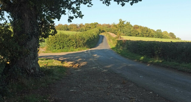
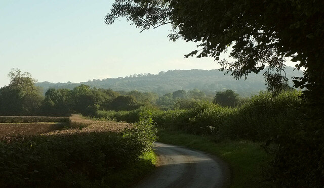
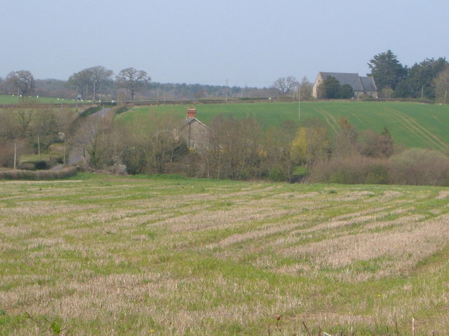
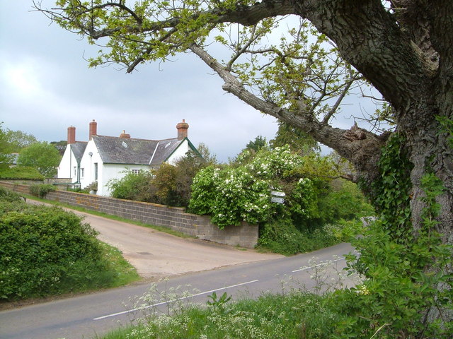
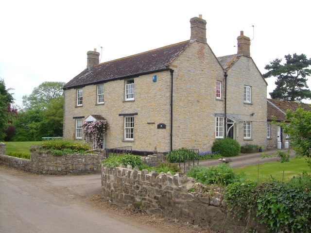
Slough Green is a charming rural hamlet located in the county of Somerset, England. Situated in the South West region of the country, this peaceful village is nestled among rolling green hills and picturesque countryside landscapes. With a population of around 200 residents, Slough Green offers a tight-knit community feel, making it an ideal place for those seeking a tranquil and close-knit living environment.
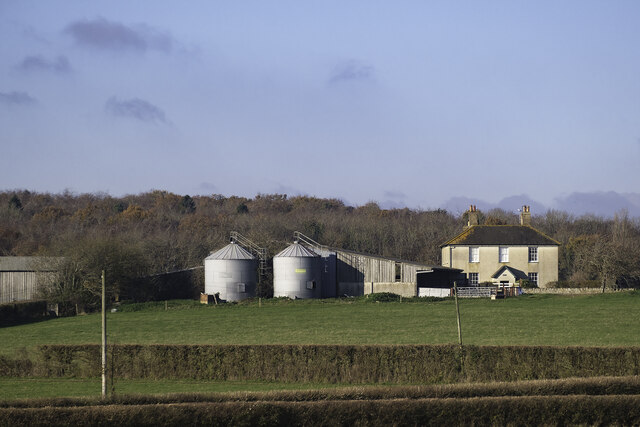
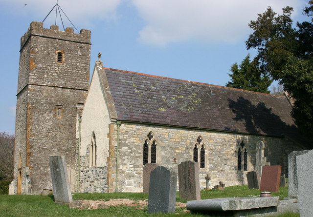
The village is home to a handful of traditional stone cottages and farmhouses, which give it a quintessential English countryside charm. The surrounding fields and meadows provide a delightful backdrop for leisurely walks and outdoor activities, while the nearby Slough Green Nature Reserve offers a haven for wildlife enthusiasts and nature lovers.
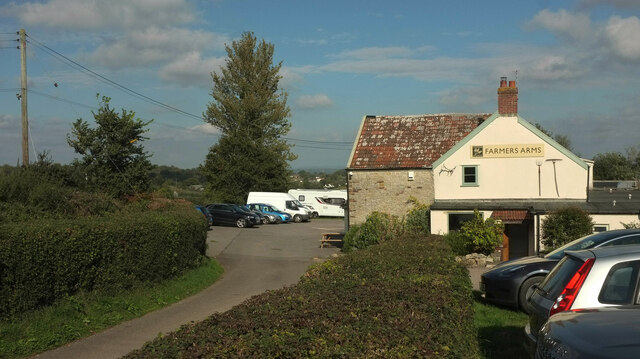
Despite its rural setting, Slough Green benefits from its proximity to larger towns and cities. The bustling market town of Shepton Mallet is within easy reach, providing residents with access to a range of amenities including shops, schools, and healthcare facilities. Additionally, the city of Bath is approximately 30 miles away, offering further opportunities for shopping, dining, and cultural experiences.
For those seeking a taste of history, the nearby town of Wells is home to the stunning Wells Cathedral, a magnificent architectural masterpiece dating back to the 12th century. The iconic Glastonbury Tor and the mystical town of Glastonbury are also within driving distance, adding to the rich historical and cultural tapestry of the area.
Overall, Slough Green, Somerset presents an idyllic and picturesque setting, offering a peaceful and close-knit community for its residents amidst the beautiful Somerset countryside.
If you have any feedback on the listing, please let us know in the comments section below.
Slough Green Images
Images are sourced within 2km of 50.977264/-3.036951 or Grid Reference ST2720. Thanks to Geograph Open Source API. All images are credited.


Slough Green is located at Grid Ref: ST2720 (Lat: 50.977264, Lng: -3.036951)
Administrative County: Somerset
District: Somerset West and Taunton
Police Authority: Avon and Somerset
What 3 Words
///quick.bins.baseless. Near Creech St Michael, Somerset
Nearby Locations
Related Wikis
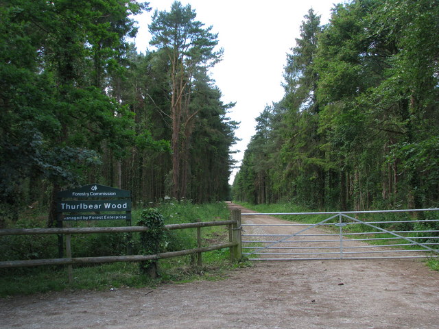
Thurlbear Wood and Quarrylands
Thurlbear Wood and Quarrylands (grid reference ST270210) is a 26.7 hectare (65.8 acre) biological Site of Special Scientific Interest south of Stoke St...

West Hatch
West Hatch is a hamlet and civil parish in Somerset, England, situated 5 miles (8.0 km) south east of Taunton. It has a population of 306. == History... ==

Bickenhall
Bickenhall is a hamlet and parish in Somerset, England, situated 5 miles (8.0 km) south east of Taunton. The parish, which includes the hamlet of Batten...

William Portman Almshouses
The William Portman Almshouses in Staple Fitzpaine, Somerset, England was built in 1643. It is a Grade II* listed building. == History == The almshouses...
Church of St Mary, Stoke St Mary
The Anglican Church of St Mary in Stoke St Mary, Somerset, England was built in the 13th century. It is a Grade II* listed building. == History == The...

Staple Fitzpaine
Staple Fitzpaine is a village and civil parish in Somerset, England, situated 5 miles (8.0 km) south of Taunton. The village has a population of 189 and...
Stoke St Mary
Stoke St Mary is a village and civil parish in Somerset, England, situated 2 miles (3.2 km) south east of Taunton. == History == The earliest recorded...

Curland
Curland is a village and civil parish in Somerset, England, situated 6 miles (9.7 km) south of Taunton. The village has a population of 225. The parish...
Nearby Amenities
Located within 500m of 50.977264,-3.036951Have you been to Slough Green?
Leave your review of Slough Green below (or comments, questions and feedback).