Skeet Hill

Settlement in Kent

England

Skeet Hill

The Clubhouse, Lullingstone Park Golf Course The scene outside the clubhouse.
The Clubhouse, Lullingstone Park Golf Course Credit: Trevor Harris

Skeet Hill is a small village located in the county of Kent, in southeastern England. Situated within the district of Tonbridge and Malling, this rural settlement is nestled amidst the picturesque landscape of the High Weald Area of Outstanding Natural Beauty. With a population of around 250 residents, Skeet Hill offers a tranquil and close-knit community atmosphere.

The village is known for its charming, traditional architecture, with many buildings dating back several centuries. The local church, St. Mary's, is a prominent feature, displaying an impressive medieval structure that has withstood the test of time. The surrounding countryside provides ample opportunities for outdoor activities such as walking, cycling, and horse riding, with numerous scenic trails and bridleways to explore.

Despite its small size, Skeet Hill boasts a vibrant social calendar, with various community events organized throughout the year. These include summer fairs, village fetes, and regular gatherings at the local pub, The Wheatsheaf. The village also has a strong sense of environmental stewardship, with initiatives in place to promote sustainability and preserve the natural beauty of the area.

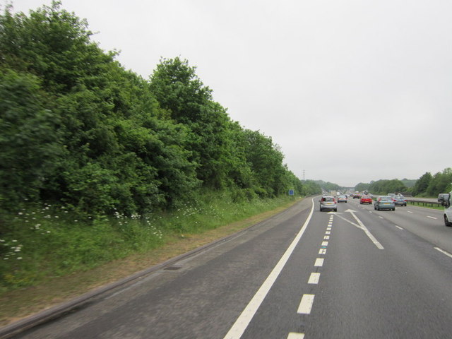
Conveniently located only a short drive away from larger towns such as Tonbridge and Tunbridge Wells, Skeet Hill offers residents a peaceful rural lifestyle while still providing access to essential amenities. The village is well-connected by road, making it an ideal base for commuters working in nearby urban centers.

Overall, Skeet Hill is a charming and idyllic village in the heart of the Kent countryside, offering a serene and welcoming environment for residents and visitors alike.

If you have any feedback on the listing, please let us know in the comments section below.
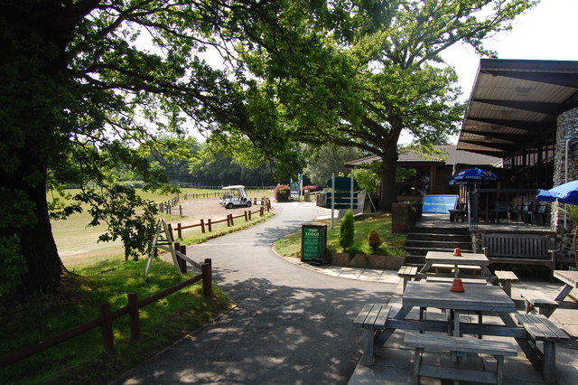
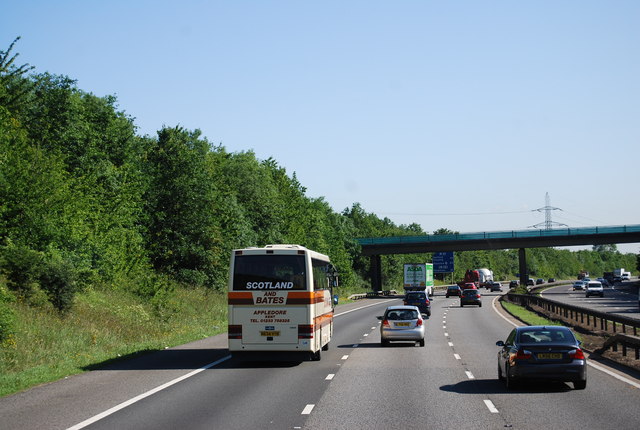
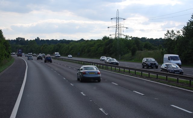
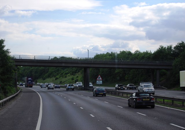
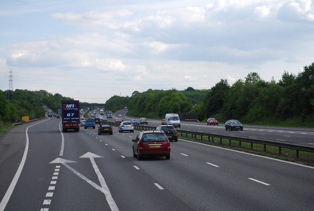
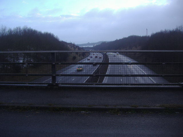
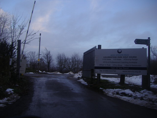
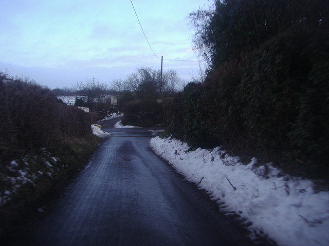
Skeet Hill Images

Images are sourced within 2km of 51.364526/0.13889972 or Grid Reference TQ4965. Thanks to Geograph Open Source API. All images are credited.

The Clubhouse, Lullingstone Park Golf Course The scene outside the clubhouse.
The Clubhouse, Lullingstone Park Golf Course
The scene outside the clubhouse.
M25 near Parkgate Farm The M25 is a 117 mile orbital motorway that encircles London. It was constructed between 1975 and 1986.
The motorway is not a continuous loop as a section to the East of London at The Dartford Crossing is an A-Road.
Wikipedia; <span class="nowrap"><a title="http://en.wikipedia.org/wiki/M25_motorway" rel="nofollow ugc noopener" href="http://en.wikipedia.org/wiki/M25_motorway">Link</a><img style="margin-left:2px;" alt="External link" title="External link - shift click to open in new window" src="https://s1.geograph.org.uk/img/external.png" width="10" height="10"/></span>
M25 near Parkgate Farm
The M25 is a 117 mile orbital motorway that encircles London. It was constructed between 1975 and 1986. The motorway is not a continuous loop as a section to the East of London at The Dartford Crossing is an A-Road. Wikipedia; LinkExternal link
M25 southbound The M25 is a 117 mile orbital motorway that encircles London. It was constructed between 1975 and 1986.
The motorway is not a continuous loop as a section to the East of London at The Dartford Crossing is an A-Road.
Wikipedia; <span class="nowrap"><a title="http://en.wikipedia.org/wiki/M25_motorway" rel="nofollow ugc noopener" href="http://en.wikipedia.org/wiki/M25_motorway">Link</a><img style="margin-left:2px;" alt="External link" title="External link - shift click to open in new window" src="https://s1.geograph.org.uk/img/external.png" width="10" height="10"/></span>
M25 southbound
The M25 is a 117 mile orbital motorway that encircles London. It was constructed between 1975 and 1986. The motorway is not a continuous loop as a section to the East of London at The Dartford Crossing is an A-Road. Wikipedia; LinkExternal link
Parkgate Road Bridge, M25 The M25 is a 117 mile orbital motorway that encircles London. It was constructed between 1975 and 1986.
The motorway is not a continuous loop as a section to the East of London at The Dartford Crossing is an A-Road.
Wikipedia; <span class="nowrap"><a title="http://en.wikipedia.org/wiki/M25_motorway" rel="nofollow ugc noopener" href="http://en.wikipedia.org/wiki/M25_motorway">Link</a><img style="margin-left:2px;" alt="External link" title="External link - shift click to open in new window" src="https://s1.geograph.org.uk/img/external.png" width="10" height="10"/></span>
Parkgate Road Bridge, M25
The M25 is a 117 mile orbital motorway that encircles London. It was constructed between 1975 and 1986. The motorway is not a continuous loop as a section to the East of London at The Dartford Crossing is an A-Road. Wikipedia; LinkExternal link
Junction 4, M25 The M25 is a 117 mile orbital motorway that encircles London. It was constructed between 1975 and 1986.
The motorway is not a continuous loop as a section to the East of London at The Dartford Crossing is an A-Road.
Wikipedia; <span class="nowrap"><a title="http://en.wikipedia.org/wiki/M25_motorway" rel="nofollow ugc noopener" href="http://en.wikipedia.org/wiki/M25_motorway">Link</a><img style="margin-left:2px;" alt="External link" title="External link - shift click to open in new window" src="https://s1.geograph.org.uk/img/external.png" width="10" height="10"/></span>
Junction 4, M25
The M25 is a 117 mile orbital motorway that encircles London. It was constructed between 1975 and 1986. The motorway is not a continuous loop as a section to the East of London at The Dartford Crossing is an A-Road. Wikipedia; LinkExternal link
The M25 from Parkgate Road near Lullingstone
The entrance to Lullingstone Park golf course
Firmingers Road at the junction of Rock Hill
Approaching junction 4, M25 westbound
Junction 4, M25 westbound
M25 - cutting by Daisy Farm
M25 crossing Redmans Lane
M25, Parkgate Road Bridge The M25 is a 117 mile orbital motorway that encircles London. It was constructed between 1975 and 1986.
The motorway is not a continuous loop as a section to the East of London at The Dartford Crossing is an A-Road.
Wikipedia; <span class="nowrap"><a title="http://en.wikipedia.org/wiki/M25_motorway" rel="nofollow ugc noopener" href="http://en.wikipedia.org/wiki/M25_motorway">Link</a><img style="margin-left:2px;" alt="External link" title="External link - shift click to open in new window" src="https://s1.geograph.org.uk/img/external.png" width="10" height="10"/></span>
M25, Parkgate Road Bridge
The M25 is a 117 mile orbital motorway that encircles London. It was constructed between 1975 and 1986. The motorway is not a continuous loop as a section to the East of London at The Dartford Crossing is an A-Road. Wikipedia; LinkExternal link
Daltons Road Looking towards Crockenhill and photographed on a chilly February afternoon.
Daltons Road
Looking towards Crockenhill and photographed on a chilly February afternoon.
Footpath at Daltons Road One of the branches of this footpath crosses the M25 which is a little way to the left here.
Footpath at Daltons Road
One of the branches of this footpath crosses the M25 which is a little way to the left here.
M25 from Parkgate Road bridge Parkgate Road leads to Lullingstone Park Golf Course and is not a through road. This is the view from where it crosses the M25, looking towards the Dartford Tunnel.
M25 from Parkgate Road bridge
Parkgate Road leads to Lullingstone Park Golf Course and is not a through road. This is the view from where it crosses the M25, looking towards the Dartford Tunnel.
Footpath alongside the M25 This footpath descends from Parkgate Road and runs alongside the M25 which is just to the right here. It eventually reaches Daltons Road and Crockenhill.
Footpath alongside the M25
This footpath descends from Parkgate Road and runs alongside the M25 which is just to the right here. It eventually reaches Daltons Road and Crockenhill.
Redmans Lane passing under the M25 Redmans Lane eventually drops down into the Darent Valley in about a mile and a half. The M25 is just north of Junction 4 which is the Orpington turn off.
Redmans Lane passing under the M25
Redmans Lane eventually drops down into the Darent Valley in about a mile and a half. The M25 is just north of Junction 4 which is the Orpington turn off.
Show me another place!

Skeet Hill is located at Grid Ref: TQ4965 (Lat: 51.364526, Lng: 0.13889972)

Unitary Authority: Bromley

Police Authority: Metropolitan

What 3 Words

///slides.puddles.taxi. Near Orpington, London

Nearby Locations

Crown Wood Skeet Hill

Related Wikis

Chelsfield

Chelsfield is an area in south-east London, England, within the London Borough of Bromley and, prior to 1965, in the historic county of Kent. It lies south...

Well Hill

Well Hill is a small rural hamlet within the civil parish of Shoreham in the Sevenoaks District of Kent, England. It lies 3 miles south east of Orpington...

Ramsden, Orpington

Ramsden Estate is an area in south-east London, generally considered a suburb of Orpington, located in the London Borough of Bromley and, prior to 1965...

Goddington

Goddington is an area in south-east London, located in the London Borough of Bromley. It is situated south of Ramsden, south-east of Orpington town centre...

Harris Academy Orpington

Harris Academy Orpington (formerly The Priory School) is a non-selective secondary school and sixth form with academy status in Orpington in the London...

Knockholt railway station

Knockholt railway station is on the South Eastern Main Line, located in the London Borough of Bromley, Greater London. It is 16 miles 44 chains (26.6 km...

Hewitt's Chalk Bank

Hewitt's Chalk Bank is a 4-hectare (10-acre) nature reserve north-east of Pratt's Bottom in the London Borough of Bromley. It is managed by the Kent Wildlife...

Chelsfield railway station

Chelsfield railway station is on the South Eastern Main Line, serving the Chelsfield and Green Street Green areas south of Orpington, in the London Borough...

Nearby Amenities

Located within 500m of 51.364526,0.13889972
Barrier: kissing_gate
Bicycle: no
Foot: yes
Horse: no
Motor Vehicle: no
Lat/Long: 51.3608468/0.1369894
Barrier: kissing_gate
Bicycle: no
Foot: yes
Horse: no
Motor Vehicle: no
Lat/Long: 51.3625468/0.1453658
Barrier: kissing_gate
Lat/Long: 51.3678701/0.1417266
Barrier: kissing_gate
Lat/Long: 51.3677925/0.1416372
The data included in this document is from www.openstreetmap.org. The data is made available under ODbL.

Have you been to Skeet Hill?

Leave your review of Skeet Hill below (or comments, questions and feedback).