Crown Wood

Wood, Forest in Kent

England

Crown Wood

The Clubhouse, Lullingstone Park Golf Course The scene outside the clubhouse.
The Clubhouse, Lullingstone Park Golf Course Credit: Trevor Harris

Crown Wood is a small woodland area located in the county of Kent, England. Situated near the town of Eltham, it is part of the greater London area. The wood is nestled between Avery Hill Park and Shooters Hill, providing a tranquil and natural escape from the bustling city.

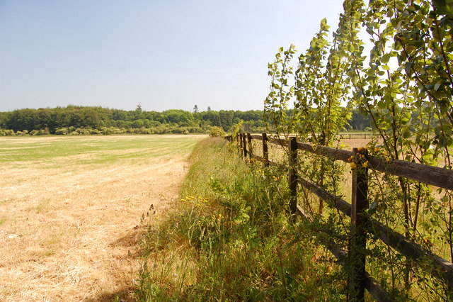
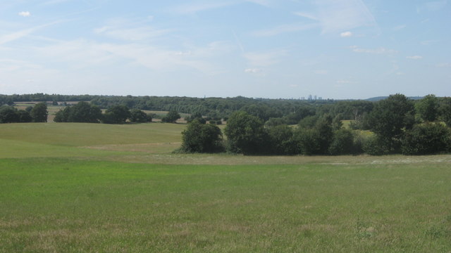
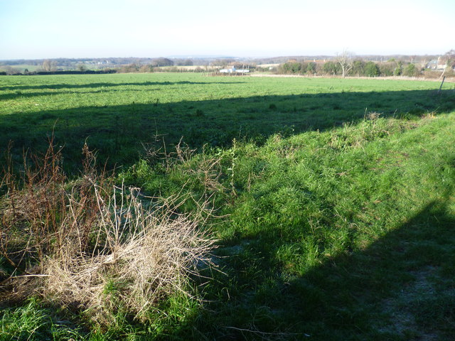
Covering an area of approximately 50 acres, Crown Wood is predominantly made up of deciduous trees, including oak, beech, and birch. These trees create a rich and diverse habitat, attracting various bird species, small mammals, and insects. The wood is also home to a variety of plant species, adding to its ecological importance.

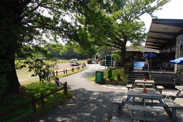
Visitors to Crown Wood can enjoy a network of well-maintained walking trails, allowing them to explore the woodland at their leisure. The paths wind through the trees, providing opportunities for nature observation and peaceful walks. Additionally, there are picnic areas and benches where visitors can relax and enjoy the natural surroundings.

Crown Wood has a long history, with evidence of human activity dating back to ancient times. Archaeological finds suggest that the area was inhabited during the Iron Age and Roman periods. Today, the wood is managed by the local council, ensuring its conservation and protection for future generations.

Overall, Crown Wood offers a tranquil and picturesque natural environment for both local residents and visitors to enjoy. Its proximity to urban areas makes it easily accessible, providing a welcome respite from the hustle and bustle of city life.

If you have any feedback on the listing, please let us know in the comments section below.
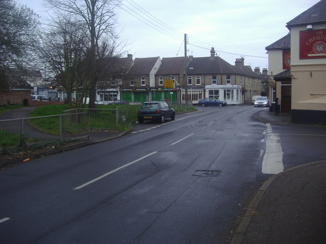
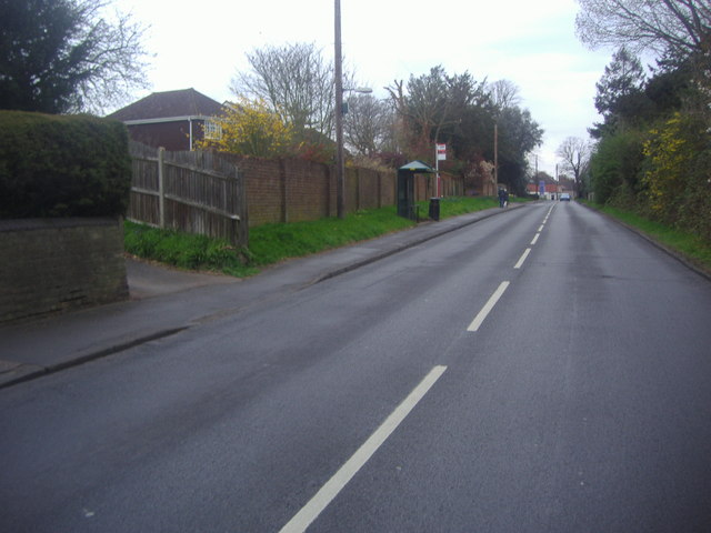
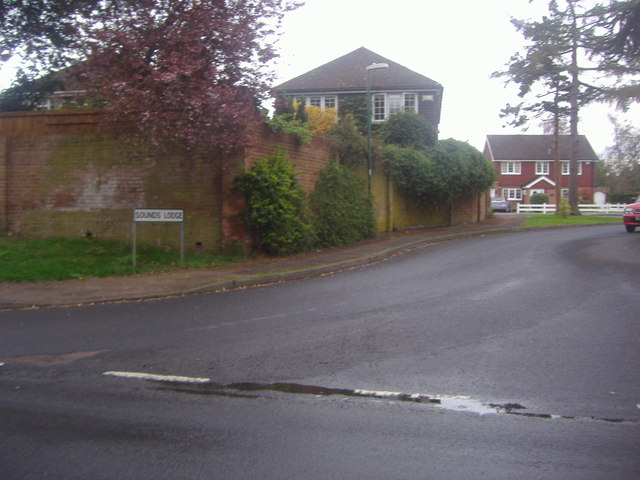
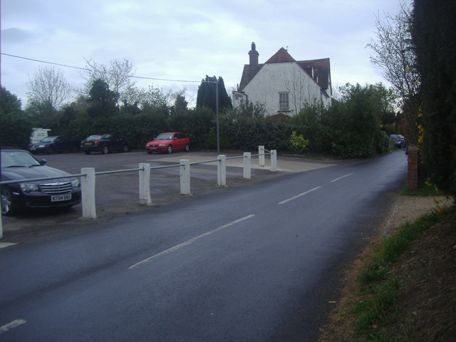
Crown Wood Images

Images are sourced within 2km of 51.368943/0.14819997 or Grid Reference TQ4965. Thanks to Geograph Open Source API. All images are credited.

The Clubhouse, Lullingstone Park Golf Course The scene outside the clubhouse.
The Clubhouse, Lullingstone Park Golf Course
The scene outside the clubhouse.
View from the footpath Looking south east from the path to Eynsford.
View from the footpath
Looking south east from the path to Eynsford.
View over Bourne Wood As seen from a footpath on a hill, near Crockenhill.

Looking across Bourne Wood towards St.Paul Cray. 

In the far background is the office towers of Canary Phone.
View over Bourne Wood
As seen from a footpath on a hill, near Crockenhill. Looking across Bourne Wood towards St.Paul Cray. In the far background is the office towers of Canary Phone.
M25 near Parkgate Farm The M25 is a 117 mile orbital motorway that encircles London. It was constructed between 1975 and 1986.
The motorway is not a continuous loop as a section to the East of London at The Dartford Crossing is an A-Road.
Wikipedia; <span class="nowrap"><a title="http://en.wikipedia.org/wiki/M25_motorway" rel="nofollow ugc noopener" href="http://en.wikipedia.org/wiki/M25_motorway">Link</a><img style="margin-left:2px;" alt="External link" title="External link - shift click to open in new window" src="https://s1.geograph.org.uk/img/external.png" width="10" height="10"/></span>
M25 near Parkgate Farm
The M25 is a 117 mile orbital motorway that encircles London. It was constructed between 1975 and 1986. The motorway is not a continuous loop as a section to the East of London at The Dartford Crossing is an A-Road. Wikipedia; LinkExternal link
M25 clockwise The M25 is a 117 mile orbital motorway that encircles London. It was constructed between 1975 and 1986.
The motorway is not a continuous loop as a section to the East of London at The Dartford Crossing is an A-Road.
Wikipedia; <span class="nowrap"><a title="http://en.wikipedia.org/wiki/M25_motorway" rel="nofollow ugc noopener" href="http://en.wikipedia.org/wiki/M25_motorway">Link</a><img style="margin-left:2px;" alt="External link" title="External link - shift click to open in new window" src="https://s1.geograph.org.uk/img/external.png" width="10" height="10"/></span>
M25 clockwise
The M25 is a 117 mile orbital motorway that encircles London. It was constructed between 1975 and 1986. The motorway is not a continuous loop as a section to the East of London at The Dartford Crossing is an A-Road. Wikipedia; LinkExternal link
M25 southbound The M25 is a 117 mile orbital motorway that encircles London. It was constructed between 1975 and 1986.
The motorway is not a continuous loop as a section to the East of London at The Dartford Crossing is an A-Road.
Wikipedia; <span class="nowrap"><a title="http://en.wikipedia.org/wiki/M25_motorway" rel="nofollow ugc noopener" href="http://en.wikipedia.org/wiki/M25_motorway">Link</a><img style="margin-left:2px;" alt="External link" title="External link - shift click to open in new window" src="https://s1.geograph.org.uk/img/external.png" width="10" height="10"/></span>
M25 southbound
The M25 is a 117 mile orbital motorway that encircles London. It was constructed between 1975 and 1986. The motorway is not a continuous loop as a section to the East of London at The Dartford Crossing is an A-Road. Wikipedia; LinkExternal link
Parkgate Road Bridge, M25 The M25 is a 117 mile orbital motorway that encircles London. It was constructed between 1975 and 1986.
The motorway is not a continuous loop as a section to the East of London at The Dartford Crossing is an A-Road.
Wikipedia; <span class="nowrap"><a title="http://en.wikipedia.org/wiki/M25_motorway" rel="nofollow ugc noopener" href="http://en.wikipedia.org/wiki/M25_motorway">Link</a><img style="margin-left:2px;" alt="External link" title="External link - shift click to open in new window" src="https://s1.geograph.org.uk/img/external.png" width="10" height="10"/></span>
Parkgate Road Bridge, M25
The M25 is a 117 mile orbital motorway that encircles London. It was constructed between 1975 and 1986. The motorway is not a continuous loop as a section to the East of London at The Dartford Crossing is an A-Road. Wikipedia; LinkExternal link
Horse near Darns Hill This horse is in a field off Darns Hill, just beyond the southern edge of Crockenhill.
Horse near Darns Hill
This horse is in a field off Darns Hill, just beyond the southern edge of Crockenhill.
View from Darns Hill Traces of a heavy frost from the previous night were still evident on the ground. This view from Darns Hill, a lane to the south-east of Crockenhill, looks towards London. The distant ridge on the horizon in the centre of the photograph is Shooters Hill.
View from Darns Hill
Traces of a heavy frost from the previous night were still evident on the ground. This view from Darns Hill, a lane to the south-east of Crockenhill, looks towards London. The distant ridge on the horizon in the centre of the photograph is Shooters Hill.
The M25 from Parkgate Road near Lullingstone
The entrance to Lullingstone Park golf course
Firmingers Road at the junction of Rock Hill
Cray Road Crockenhill At the junction of Old Chapel Road
Cray Road Crockenhill
At the junction of Old Chapel Road
Cray Road, Crockenhill
Sounds Lodge, Crockenhill A modern neo-Georgian estate probably from the 1970s or so
Sounds Lodge, Crockenhill
A modern neo-Georgian estate probably from the 1970s or so
Old Chapel Road, Crockenhill
The Chequers, Crockenhill A pub in the centre of the village.
The Chequers, Crockenhill
A pub in the centre of the village.
Crockenhill village green The southern end of the green.
Crockenhill village green
The southern end of the green.
Show me another place!

Crown Wood is located at Grid Ref: TQ4965 (Lat: 51.368943, Lng: 0.14819997)

Unitary Authority: Bromley

Police Authority: Metropolitan

What 3 Words

///ending.soaks.hurt. Near Orpington, London

Nearby Locations

Crown Wood Skeet Hill

Related Wikis

Well Hill

Well Hill is a small rural hamlet within the civil parish of Shoreham in the Sevenoaks District of Kent, England. It lies 3 miles south east of Orpington...

Crockenhill

Crockenhill is a village in the Sevenoaks District of Kent, England. It is located 1 mile south of Swanley and 4.5 miles north east of Orpington, adjacent...

Chelsfield

Chelsfield is an area in south-east London, England, within the London Borough of Bromley and, prior to 1965, in the historic county of Kent. It lies south...

Ramsden, Orpington

Ramsden is an area in south-east London, generally considered a suburb of Orpington, located in the London Borough of Bromley and, prior to 1965, within...

Kevington, London

Kevington, sometimes spelt Kevingtown, is a rural hamlet in South East London, England, within the London Borough of Bromley. It is located north east...

Harris Academy Orpington

Harris Academy Orpington (formerly The Priory School) is a non-selective secondary school and sixth form with academy status in Orpington in the London...

Crockenhill F.C.

Crockenhill Football Club is a football club based in the village of Crockenhill near Swanley in Kent, England. Affiliated to the Kent County Football...

Goddington

Goddington is an area in south-east London, located in the London Borough of Bromley. It is situated south of Ramsden, south-east of Orpington town centre...

Related Videos

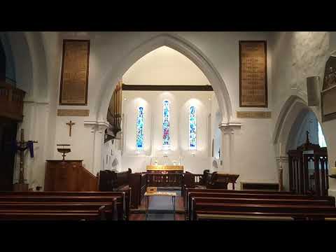
Walking into St Martin's Church

A short walk up the path and into the church, and a look around and up, before gazing at the altar.

Gala Apple Farm - British Farmhouse - Farmhouse in Kent - UK - Apple Farm Near me - No 1

Gala Apple Farm - British Farmhouse - Farmhouse in Kent - UK Gala Apple Farm Kent - England - UK If you want to know how ...

The making of the video for An Ordinary Christmas

Having written and recorded An Ordinary Christmas, it needed a video. Quite a complicated one, as always. Here, Dave Griffiths ...

Nearby Amenities

Located within 500m of 51.368943,0.14819997
Barrier: kissing_gate
Lat/Long: 51.3678701/0.1417266
Barrier: kissing_gate
Lat/Long: 51.3677925/0.1416372
Barrier: kissing_gate
Lat/Long: 51.3727396/0.1499949
Barrier: kissing_gate
Lat/Long: 51.3730916/0.1504852
The data included in this document is from www.openstreetmap.org. The data is made available under ODbL.

Have you been to Crown Wood?

Leave your review of Crown Wood below (or comments, questions and feedback).