Simonburn

Settlement in Northumberland

England

Simonburn

Grazing, Fairshaw Off the B6320.
Grazing, Fairshaw Credit: JThomas

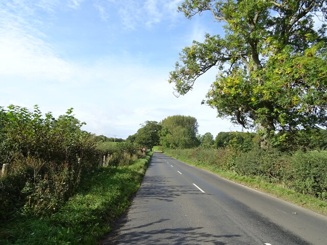
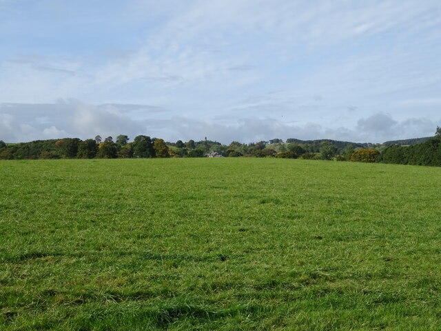
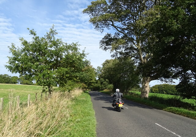
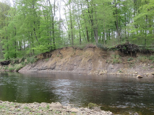
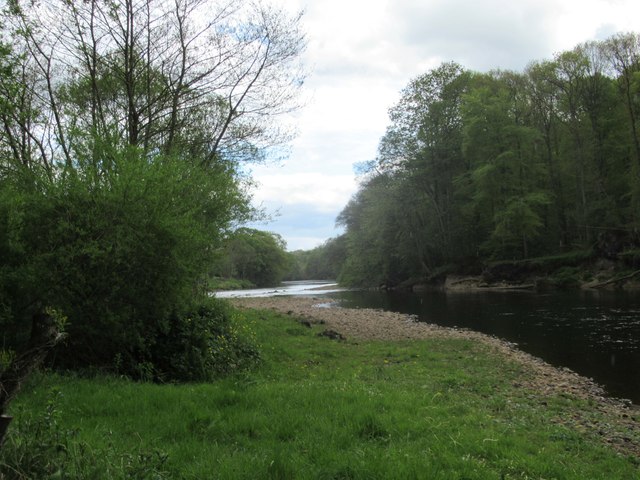
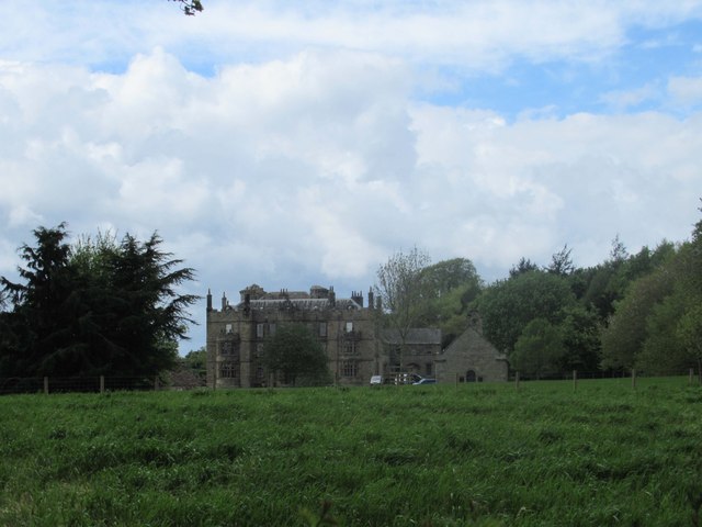
Simonburn is a charming village located in the county of Northumberland, England. Situated on the banks of the River North Tyne, it is surrounded by picturesque countryside and offers a tranquil setting for residents and visitors alike.

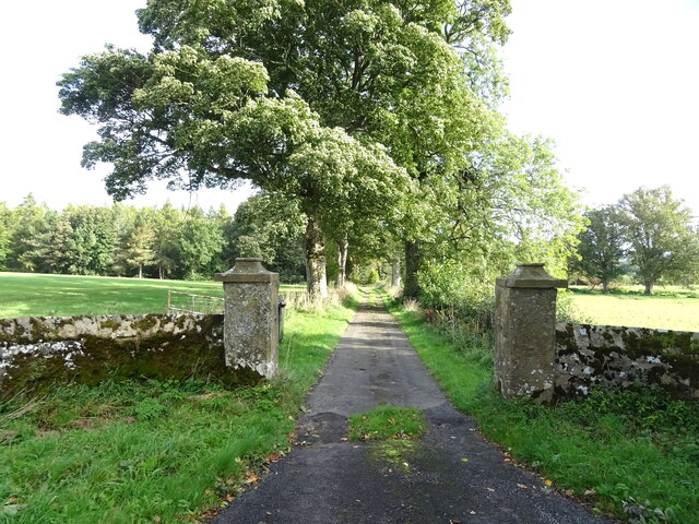
The village is known for its rich history, with evidence of human settlement dating back to Roman times. The Roman Wall, Hadrian's Wall, is just a short distance away, adding to the historical significance of the area. The medieval church of St. Mungo's, a prominent landmark in Simonburn, also adds to the village's sense of heritage.

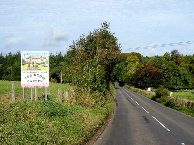
Simonburn is a small village, with a population of around 200 residents as of recent estimates. Despite its size, it boasts a tight-knit community that takes pride in preserving the village's unique character. The local pub, The Gun Inn, serves as a social hub for both locals and visitors, offering a warm and friendly atmosphere.

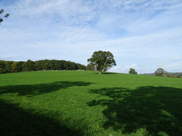
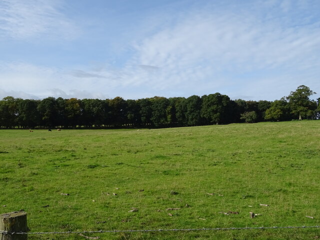
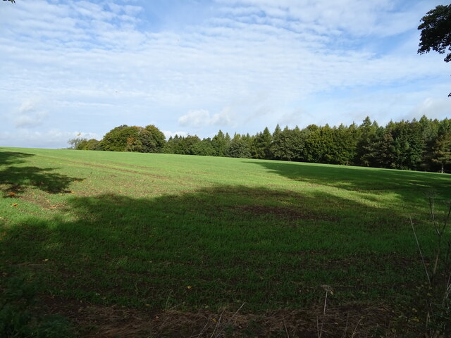
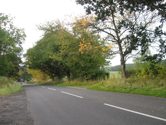
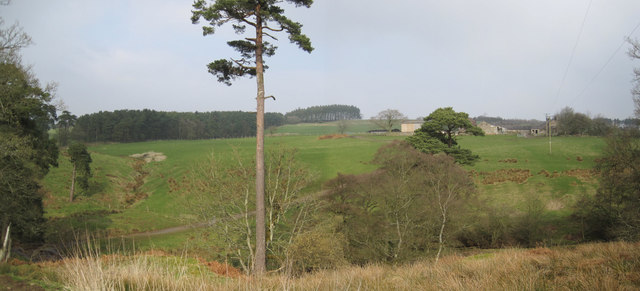
Nature lovers are drawn to Simonburn for its stunning surroundings and outdoor activities. The village is an excellent base for exploring Northumberland National Park, which offers opportunities for hiking, cycling, and wildlife spotting. The River North Tyne is also popular among anglers, providing ample opportunities for fishing.

In terms of amenities, Simonburn is relatively limited. However, nearby Hexham, just a short drive away, provides a range of services including shops, supermarkets, schools, and healthcare facilities.

Overall, Simonburn is a picturesque village with a deep-rooted history, offering a peaceful escape from the hustle and bustle of city life.

If you have any feedback on the listing, please let us know in the comments section below.
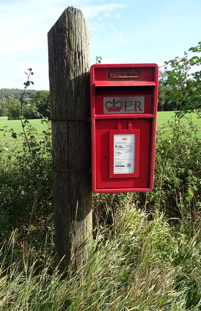
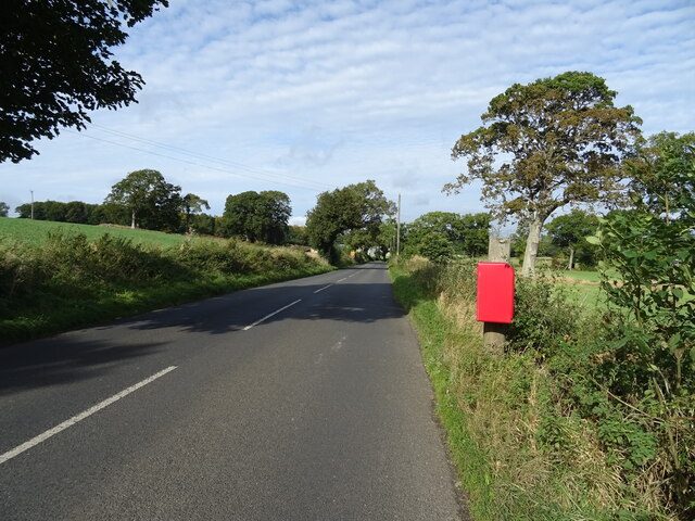
Simonburn Images

Images are sourced within 2km of 55.05667/-2.202333 or Grid Reference NY8773. Thanks to Geograph Open Source API. All images are credited.

Grazing, Fairshaw Off the B6320.
Grazing, Fairshaw
Off the B6320.
B6320, Fairshaw Heading west towards Wark.
B6320, Fairshaw
Heading west towards Wark.
Grazing towards Simonburn
B6320 towards Wark
B6320 towards Wark
Grazing towards Hornslaw Wood West of the B6320.
Grazing towards Hornslaw Wood
West of the B6320.
Heading towards Wark Biker on the B6320.
Heading towards Wark
Biker on the B6320.
Emerging crop and woodland Near Little Park End.
Emerging crop and woodland
Near Little Park End.
Track to Little Park End Off the B6320.
Track to Little Park End
Off the B6320.
Elizabeth II postbox on the B6320, Park End Postbox No. NE48 33.

See <a href="https://www.geograph.org.uk/photo/7027501">NY8775 : B6320, Park End</a> for context.
Elizabeth II postbox on the B6320, Park End
Postbox No. NE48 33. See NY8775 : B6320, Park End for context.
B6320, Park End Towards Wark.
Showing position of Postbox No. NE48 33.

See <a href="https://www.geograph.org.uk/photo/7027500">NY8775 : Elizabeth II postbox on the B6320, Park End</a> for postbox.
B6320, Park End
Towards Wark. Showing position of Postbox No. NE48 33. See NY8775 : Elizabeth II postbox on the B6320, Park End for postbox.
View towards Confluence of Proctor's Burn and River North Tyne
River North Tyne Not quite a dam or stepping stones. Possibly to create a pool for fish.  There are several of these structures on this river over a wide area.
River North Tyne
Not quite a dam or stepping stones. Possibly to create a pool for fish. There are several of these structures on this river over a wide area.
River Erosion on The River North Tyne
River North Tyne
River North Tyne
Chipchase Castle and Chapel One Easter Weekend many moons ago when I was in 22nd Seniors Scouts Troop from South Shields  (over 60 years) we camped on Chipchase Island which we had done a few times with the permission of the owner.  This particular weekend the condition for allowing us to camp was that we would be part of the Easter Sunday Service, so we had to take our smart scout uniform.  We then marched from Chipchase Mill with our Troop Flag to take part in the service.  After the service we were shown around part of the castle and enjoyed a view from the battlements of the tower followed my homemade lemonade and biscuits.
Chipchase Castle and Chapel
One Easter Weekend many moons ago when I was in 22nd Seniors Scouts Troop from South Shields (over 60 years) we camped on Chipchase Island which we had done a few times with the permission of the owner. This particular weekend the condition for allowing us to camp was that we would be part of the Easter Sunday Service, so we had to take our smart scout uniform. We then marched from Chipchase Mill with our Troop Flag to take part in the service. After the service we were shown around part of the castle and enjoyed a view from the battlements of the tower followed my homemade lemonade and biscuits.
Chipchase Castle
Chipchase Castle
B6320 southbound
B6320 southbound
Allgood Farm
Allgood Farm
Show me another place!

Simonburn is located at Grid Ref: NY8773 (Lat: 55.05667, Lng: -2.202333)

Unitary Authority: Northumberland

Police Authority: Northumbria

What 3 Words

///president.prepare.presenter. Near Birtley, Northumberland

Nearby Locations

Simonburn Horse Pasture

Related Wikis

Simonburn

Simonburn is a small human settlement in Northumberland, England. == Early history == Simonburn lies to the north of Hadrian's Wall, the most noted Roman...

Nunwick Hall

Nunwick Hall is a privately owned 18th-century country house near Simonburn, Northumberland in North East England. The estate has been the home of the...

Greenhaugh

Greenhaugh is a small village in Northumberland, England. It is located northwest of Bellingham and borders the Northumberland National Park. It is in...

Milecastle 30

Milecastle 30 (Limestone Corner) was a milecastle of the Roman Hadrian's Wall. Its remains exist as an outward-facing scarp with a maximum height of 0...

Related Videos

Brocolitia Roman fort on #HadriansWall #archaeology

A quick walking tour of the Roman fort and temple of Mithras.

Mithras temple of Carrawburgh, Hadrian's Wall

Carrawburgh is a settlement in Northumberland. In Roman times, it was the site of a 3+1⁄2-acre (1.5 ha) auxiliary fort on Hadrian's ...

Roman temple of Mithras Carrawburgh, Hadrian's Wall

Carrawburgh is a settlement in Northumberland. In Roman times, it was the site of a 3+1⁄2-acre (1.5 ha) auxiliary fort on Hadrian's ...

#Temple of Mithras #Travel #British #HadriansWall

Welcome to my channel. I am a 4 year old vlogger. Please like/follow my facebook page: https://www.facebook.com/BritFil.

Nearby Amenities

Located within 500m of 55.05667,-2.202333
Cafe
Simonburn tea room
Addr City: Simonburn
Addr County: Northumberland
Addr Postcode: NE48 3AW
Fhrs Id: 287321
Fixme Addr1: 1 The Mains
Source: local knowledge
Lat/Long: 55.057461/-2.203169
Simonburn
Place: village
Source: local knowledge
Lat/Long: 55.057221/-2.2030253
Simonburn village shop and post office
Note: Moved - If it still exists it's nearer here.
Shop: convenience
Source: local knowledge
Lat/Long: 55.0578013/-2.2029401
Power: pole
Lat/Long: 55.0583263/-2.2033427
Power: pole
Lat/Long: 55.0593398/-2.2029988
Power: pole
Lat/Long: 55.0598362/-2.2013273
Power: pole
Lat/Long: 55.060489/-2.1998886
Post Box
Ref: NE48 63
Lat/Long: 55.0577461/-2.203164
The data included in this document is from www.openstreetmap.org. The data is made available under ODbL.

Have you been to Simonburn?

Leave your review of Simonburn below (or comments, questions and feedback).