Bland Hill

Settlement in Yorkshire Harrogate

England

Bland Hill

Swinsty Reservoir A view looking North from Swinsty Embankment, with two fly fishermen in the foreground.
Swinsty Reservoir Credit: Mick Melvin

Bland Hill is a small but picturesque village located in the county of Yorkshire, England. Situated in the northern part of the county, it lies within the beautiful Yorkshire Dales National Park, surrounded by rolling hills and verdant countryside.

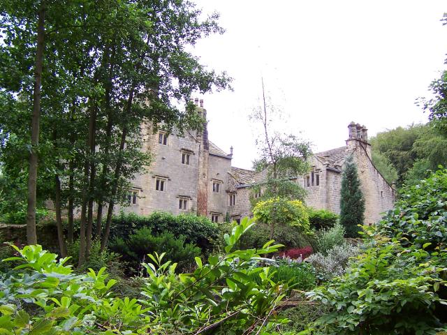
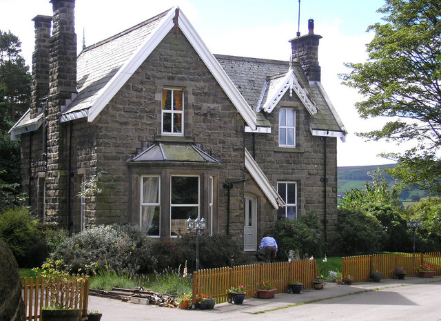
The village itself is characterized by its quaint and charming atmosphere. It is home to a close-knit community of residents who take great pride in maintaining the village's traditional appearance. The houses in Bland Hill are predominantly built from local stone, giving the village a distinctive and timeless aesthetic.

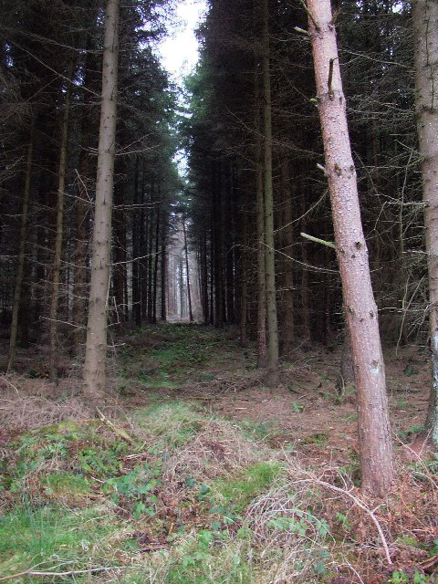
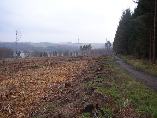
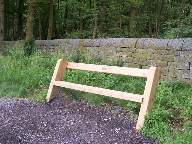
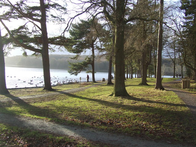
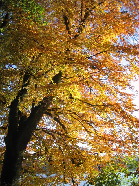
Bland Hill is known for its stunning natural scenery, with numerous walking trails and footpaths crisscrossing the surrounding countryside. One of the most popular attractions in the area is Bland Hill Moor, a vast expanse of open moorland that offers breathtaking panoramic views of the Yorkshire Dales.

The village also boasts a few amenities for residents and visitors alike. There is a cozy village pub, the Bland Hill Arms, which serves traditional British fare and provides a warm and welcoming atmosphere. Additionally, there is a small convenience store where locals can purchase everyday essentials.

For those seeking a peaceful and idyllic retreat, Bland Hill provides the perfect setting. Its tranquil surroundings, friendly community, and stunning natural beauty make it a hidden gem in the heart of Yorkshire.

If you have any feedback on the listing, please let us know in the comments section below.

Bland Hill Images

Images are sourced within 2km of 53.973469/-1.686055 or Grid Reference SE2053. Thanks to Geograph Open Source API. All images are credited.

Swinsty Reservoir A view looking North from Swinsty Embankment, with two fly fishermen in the foreground.
Swinsty Reservoir
A view looking North from Swinsty Embankment, with two fly fishermen in the foreground.
Swinsty Reservoir A view of the lakeside picnic area at Swinsty, taken looking North west.
Swinsty Reservoir
A view of the lakeside picnic area at Swinsty, taken looking North west.
Fewston Church Dedicated to St Michael and St Lawrence
Fewston Church
Dedicated to St Michael and St Lawrence
Swinsty Reservoir from Fewston Embankment The out fall from Fewston Reservoir feeds immediately into Swinsty Reservoir. The grass bank and the trees in the foreground are in <a href="https://www.geograph.org.uk/gridref/SE1854">SE1854</a>, the island at the centre of the photograph and the far bank are in <a href="https://www.geograph.org.uk/gridref/SE1954">SE1954</a>
Swinsty Reservoir from Fewston Embankment
The out fall from Fewston Reservoir feeds immediately into Swinsty Reservoir. The grass bank and the trees in the foreground are in SE1854, the island at the centre of the photograph and the far bank are in SE1954
Swinsty Reservoir, Washburn Valley One of four large reservoirs in the Washburn Valley, Swinsty holds 866 million gallons and was completed in 1876. This was taken looking SW about 3.00 pm on a cold December afternoon.
Swinsty Reservoir, Washburn Valley
One of four large reservoirs in the Washburn Valley, Swinsty holds 866 million gallons and was completed in 1876. This was taken looking SW about 3.00 pm on a cold December afternoon.
Forest Ride, Little Timble, North Yorkshire There is something mysterious about conifer plantations.  This view is from the main footpath around the south-west side of Swinsty Reservoir.
Forest Ride, Little Timble, North Yorkshire
There is something mysterious about conifer plantations. This view is from the main footpath around the south-west side of Swinsty Reservoir.
Path and Stumps, Little Timble, North Yorkshire The path is the main footpath around the south-west side of Swinsty Reservoir, seen in the distance.  The stumps are in a clear-felled area of conifer plantation.
Path and Stumps, Little Timble, North Yorkshire
The path is the main footpath around the south-west side of Swinsty Reservoir, seen in the distance. The stumps are in a clear-felled area of conifer plantation.
Swinsty Reservoir Dam Taken from Jack Hill Lane, this view shows the earth embankment on the south side of the dam, which is stone faced on the reservoir side. Swinsty is the 3rd of 4 reservoirs as one goes downstream along the washburn Valley, and was originally constructed to serve the city of Leeds.
Swinsty Reservoir Dam
Taken from Jack Hill Lane, this view shows the earth embankment on the south side of the dam, which is stone faced on the reservoir side. Swinsty is the 3rd of 4 reservoirs as one goes downstream along the washburn Valley, and was originally constructed to serve the city of Leeds.
Swinsty Hall
Swinsty Hall
Typical Memorial Seat around the perimeter of Swinsty Reservoir
Swinsty Reservoir from Swinsty Embankment
Swinsty Cottage This was, presumably, originally built as the Swinsty Reservoir keeper's house.
Swinsty Cottage
This was, presumably, originally built as the Swinsty Reservoir keeper's house.
The northern section of Swinsty Reservoir from Stack Point This is the North-westerly view across Swinsty Reservoir from Stack Point. In the middle distance is the dam (Fewston Embankment) which separates Fewston Reservoir from Swinsty.
The northern section of Swinsty Reservoir from Stack Point
This is the North-westerly view across Swinsty Reservoir from Stack Point. In the middle distance is the dam (Fewston Embankment) which separates Fewston Reservoir from Swinsty.
Swinsty Reservoir from Stack Point This shows the southern part of Swinsty Reservoir looking towards Swinsty Embankment (dam). The reservoir was completed in 1876 and has a surface area of 156 acres.
Swinsty Reservoir from Stack Point
This shows the southern part of Swinsty Reservoir looking towards Swinsty Embankment (dam). The reservoir was completed in 1876 and has a surface area of 156 acres.
Conifer tree trunks at Stack Point
Picnic (and bird feeding) Area at Stack Point (Swinsty Reservoir)
Stack Point Stack Point is a very popular car parking area and picnic site on the eastern shore of Swinsty Reservoir.
Stack Point
Stack Point is a very popular car parking area and picnic site on the eastern shore of Swinsty Reservoir.
Autumn glory by Swinsty reservoir
Show me another place!

Bland Hill is located at Grid Ref: SE2053 (Lat: 53.973469, Lng: -1.686055)

Division: West Riding

Administrative County: North Yorkshire

District: Harrogate

Police Authority: North Yorkshire

What 3 Words

///line.limit.growth. Near Stainburn, North Yorkshire

Related Wikis

Norwood, North Yorkshire

Norwood is a civil parish in the Harrogate district of North Yorkshire, England. According to the 2001 UK census, Norwood parish had a population of 200...
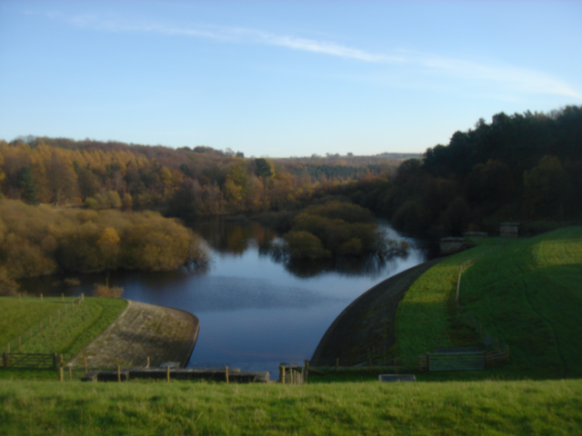
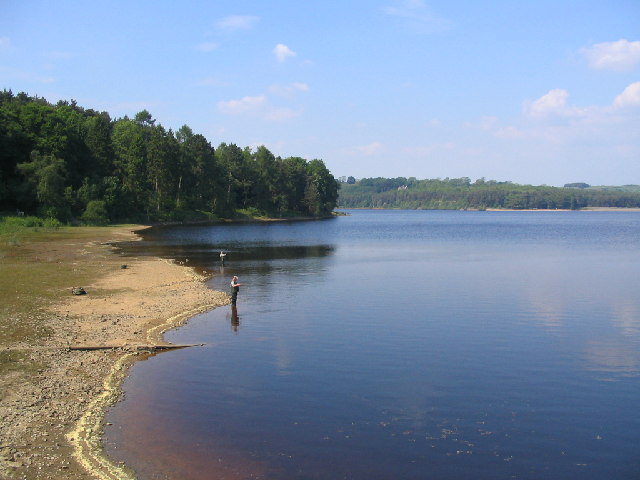
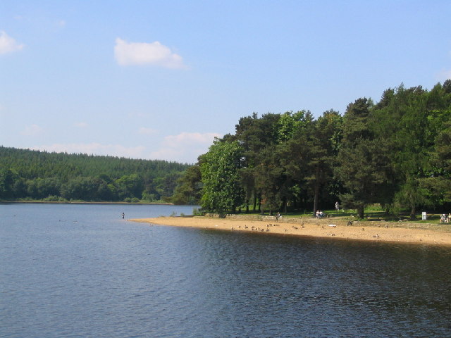
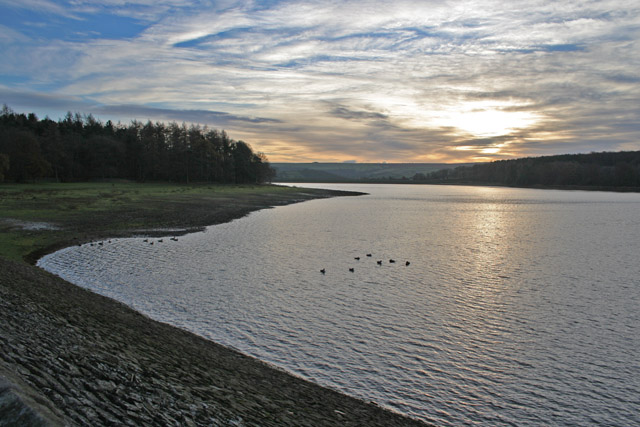
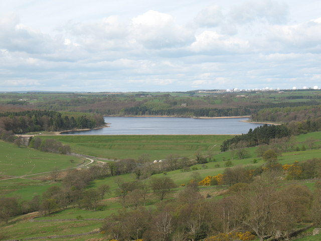
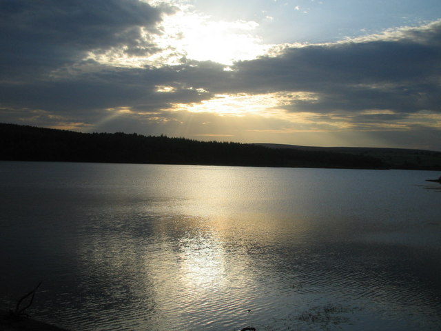
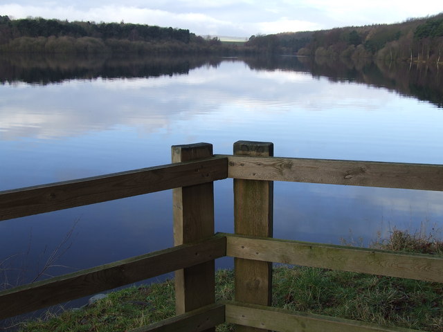
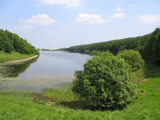
Swinsty Reservoir

Swinsty Reservoir is a reservoir in the Washburn valley north of Otley and west of Harrogate in Yorkshire, England. Construction began in 1871 and was...

John O'Gaunt's Castle

John O'Gaunt's Castle was a royal hunting lodge in the West Riding of Yorkshire in England. == History == John of Gaunt's Castle is situated near Harrogate...

Beaver Dyke Reservoirs

Beaver Dyke Reservoirs were two water supply reservoirs (one of which is still extant), 5 miles (8 km) west of Harrogate in North Yorkshire, England. The...

Timble

Timble is a village in the Harrogate district of North Yorkshire, England. It is situated on the slopes of the Washburn valley, north of Otley and close...

Wharfedale Rural District

Wharfedale was a rural district in the West Riding of Yorkshire from 1894 to 1974. It comprised the northern side of lower Wharfedale, the lower Washburn...
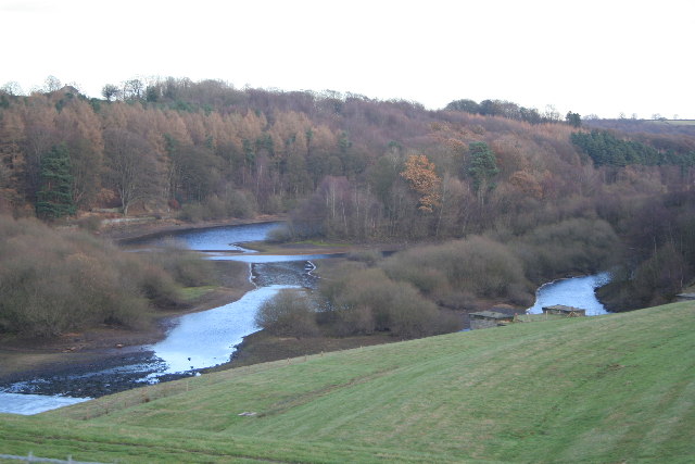
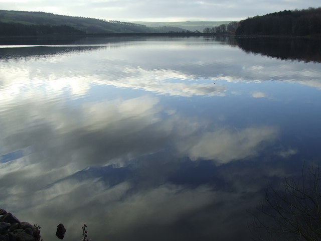
Fewston Reservoir

Fewston Reservoir is located in the Washburn valley north of Otley and west of Harrogate in Yorkshire, England. It was built in 1879. The capacity is about...
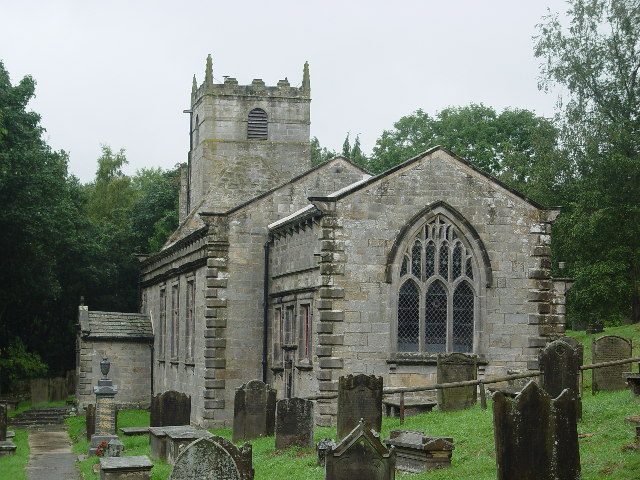
Fewston

Fewston is a village and civil parish in the Harrogate district of North Yorkshire, England. It is situated north of Otley and close to Swinsty and Fewston...

Nearby Amenities

Located within 500m of 53.973469,-1.686055
Cooper House
Building: yes
Source: OS 1:25k
Lat/Long: 53.9716944/-1.6898854
Bland Hill
Place: hamlet
Lat/Long: 53.9735219/-1.6856875
Booth: K6
Covered: booth
Disused Amenity: telephone
Image: https://www.geograph.org.uk/photo/5268909
Man Made: telephone_box
Note: there is no telephone in this phone box
Operator: Washburn Parish Council
Source: survey
Lat/Long: 53.9733417/-1.6857791
Parking
Parking: layby
Lat/Long: 53.9733557/-1.6852939
Bland Hill School
Description: Extant in mid-C19th
Historic: archaeological_site
Source: OS sheet 170, publ. 1851
Lat/Long: 53.9699152/-1.6862621
Batheaston Bespoke Furniture
Addr City: Harrogate
Addr Postcode: HG3 1SZ
Addr Street: Brame Lane
Addr Suburb: Norwood
Craft: cabinet_maker
Website: https://www.batheaston.co.uk/
Lat/Long: 53.97776/-1.685826
Post Box
Image: https://www.geograph.org.uk/photo/5268930
Ref: HG3 149
Lat/Long: 53.9736877/-1.6861773
Parking
Lat/Long: 53.9735228/-1.6853808
Natural: spring
Source: OS sheet 170, publ. 1851
Lat/Long: 53.9702842/-1.6818368
Natural: spring
Source: OS sheet 170, publ. 1851
Lat/Long: 53.9759841/-1.6826836
Natural: spring
Source: OS sheet 170, publ. 1851
Lat/Long: 53.9743911/-1.6795888
Power: pole
Source: Bing
Lat/Long: 53.9733998/-1.6787678
Power: pole
Source: Bing
Lat/Long: 53.9733808/-1.6802725
Power: pole
Source: Bing
Lat/Long: 53.9743652/-1.68616
The data included in this document is from www.openstreetmap.org. The data is made available under ODbL.

Have you been to Bland Hill?

Leave your review of Bland Hill below (or comments, questions and feedback).