Bramelane
Settlement in Yorkshire Harrogate
England
Bramelane
Bramelane is a small village located in the stunning county of Yorkshire, England. Situated in the idyllic countryside, it is known for its picturesque landscapes, quaint charm, and rich history. With a population of around 500 residents, Bramelane offers a peaceful and close-knit community.
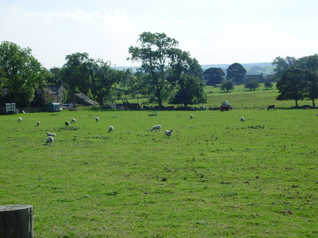
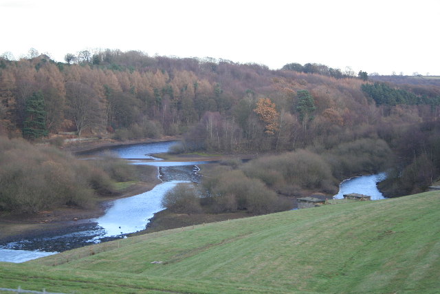
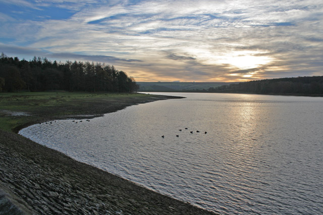
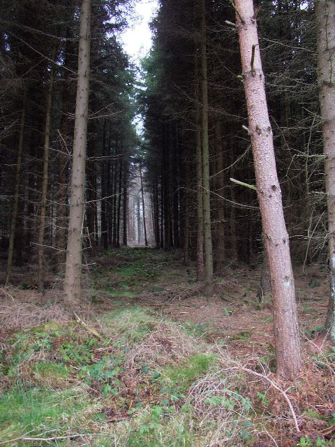
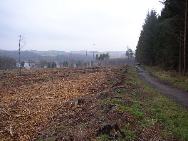
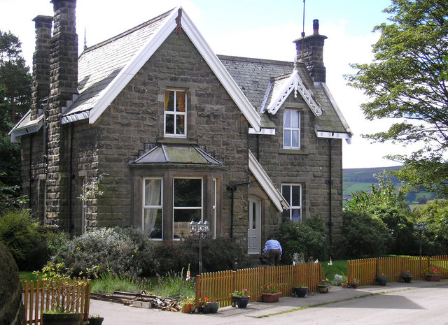
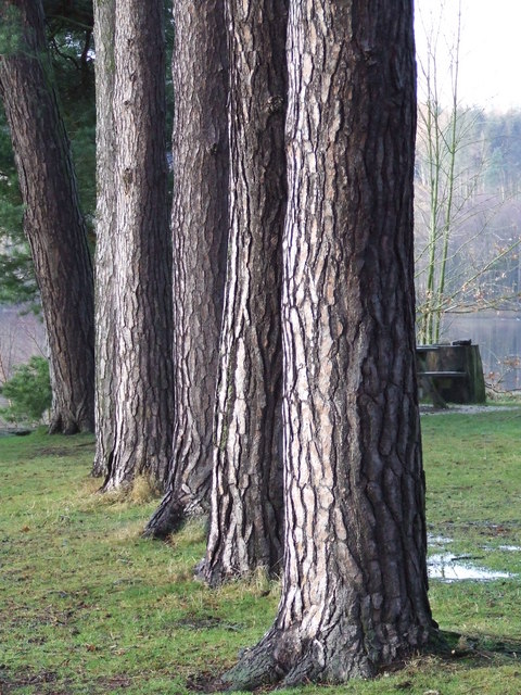
The village is famous for its traditional stone-built cottages, which line the narrow streets and add to its rustic appeal. Bramelane is surrounded by lush green fields and rolling hills, making it an ideal destination for nature lovers and hikers. The nearby Bramelane Forest provides ample opportunities for outdoor activities such as walking, cycling, and birdwatching.
Despite its small size, Bramelane boasts a number of amenities for its residents and visitors. The village is home to a charming local pub, The Bramble Inn, where visitors can enjoy a pint of locally brewed ale and indulge in traditional Yorkshire cuisine. There is also a village hall that serves as a hub for community events and gatherings.
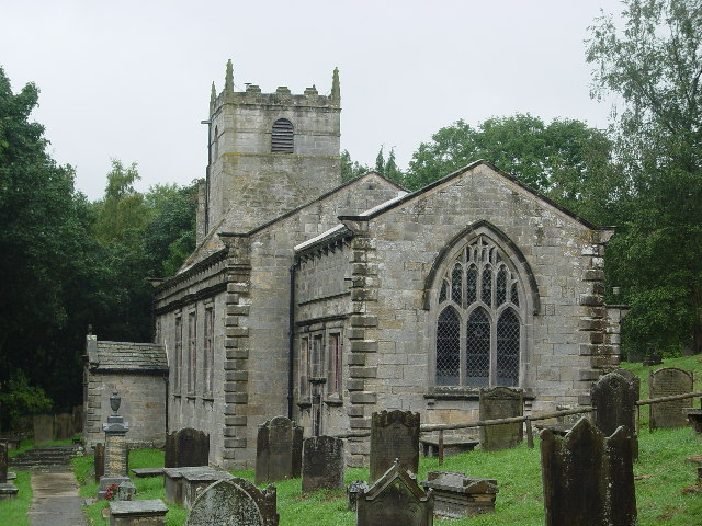
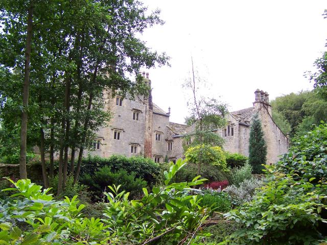
Bramelane has a rich historical heritage, with its origins dating back to the medieval era. The village features a beautiful 12th-century parish church, St. Mary's, which is a testament to its long-standing history. Additionally, Bramelane is located in close proximity to several historical sites, including ancient castles and abbeys.
Overall, Bramelane offers a serene and picturesque escape from the hustle and bustle of city life. With its natural beauty, friendly community, and historical significance, it is an enchanting destination for both locals and tourists seeking a taste of rural Yorkshire.
If you have any feedback on the listing, please let us know in the comments section below.
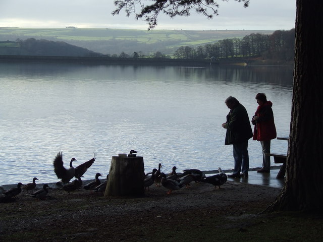
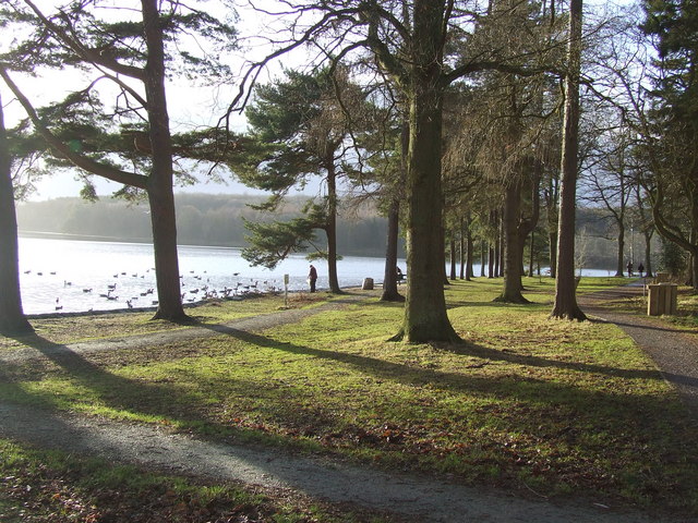
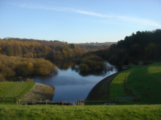
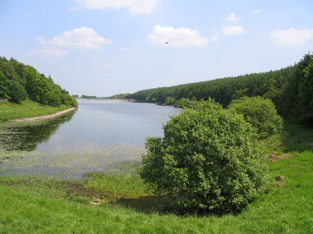
Bramelane Images
Images are sourced within 2km of 53.980551/-1.6861886 or Grid Reference SE2053. Thanks to Geograph Open Source API. All images are credited.
Bramelane is located at Grid Ref: SE2053 (Lat: 53.980551, Lng: -1.6861886)
Division: West Riding
Administrative County: North Yorkshire
District: Harrogate
Police Authority: North Yorkshire
What 3 Words
///scaffold.handsets.badge. Near Stainburn, North Yorkshire
Nearby Locations
Related Wikis
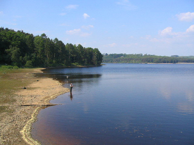
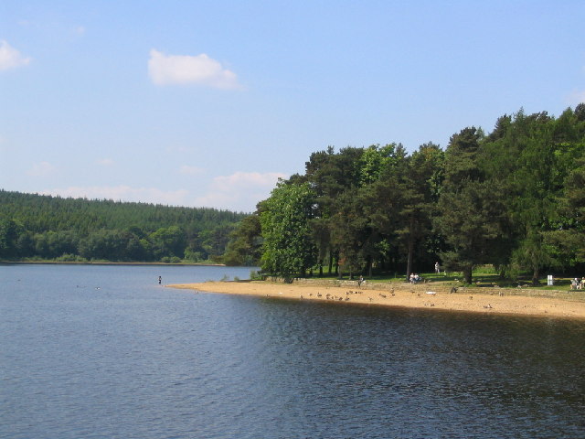
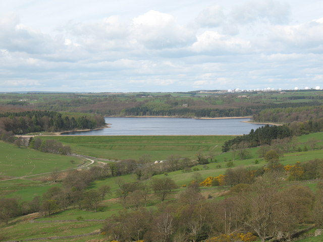
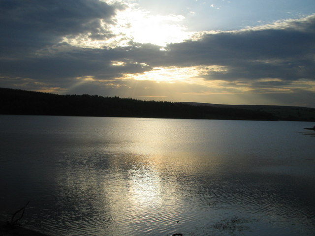
Swinsty Reservoir
Swinsty Reservoir is a reservoir in the Washburn valley north of Otley and west of Harrogate in Yorkshire, England. Construction began in 1871 and was...

Norwood, North Yorkshire
Norwood is a civil parish in the Harrogate district of North Yorkshire, England. According to the 2001 UK census, Norwood parish had a population of 200...

John O'Gaunt's Castle
John O'Gaunt's Castle was a royal hunting lodge in the West Riding of Yorkshire in England. == History == John of Gaunt's Castle is situated near Harrogate...
Beaver Dyke Reservoirs
Beaver Dyke Reservoirs were two water supply reservoirs (one of which is still extant), 5 miles (8 km) west of Harrogate in North Yorkshire, England. The...

Menwith Hill Elementary/High School
Menwith Hill Elementary/High School was an American facility located at RAF Menwith Hill in North Yorkshire, England. It closed in 2015. == Academics... ==

Fewston Reservoir
Fewston Reservoir is located in the Washburn valley north of Otley and west of Harrogate in Yorkshire, England. It was built in 1879. The capacity is about...

Timble
Timble is a village in the Harrogate district of North Yorkshire, England. It is situated on the slopes of the Washburn valley, north of Otley and close...
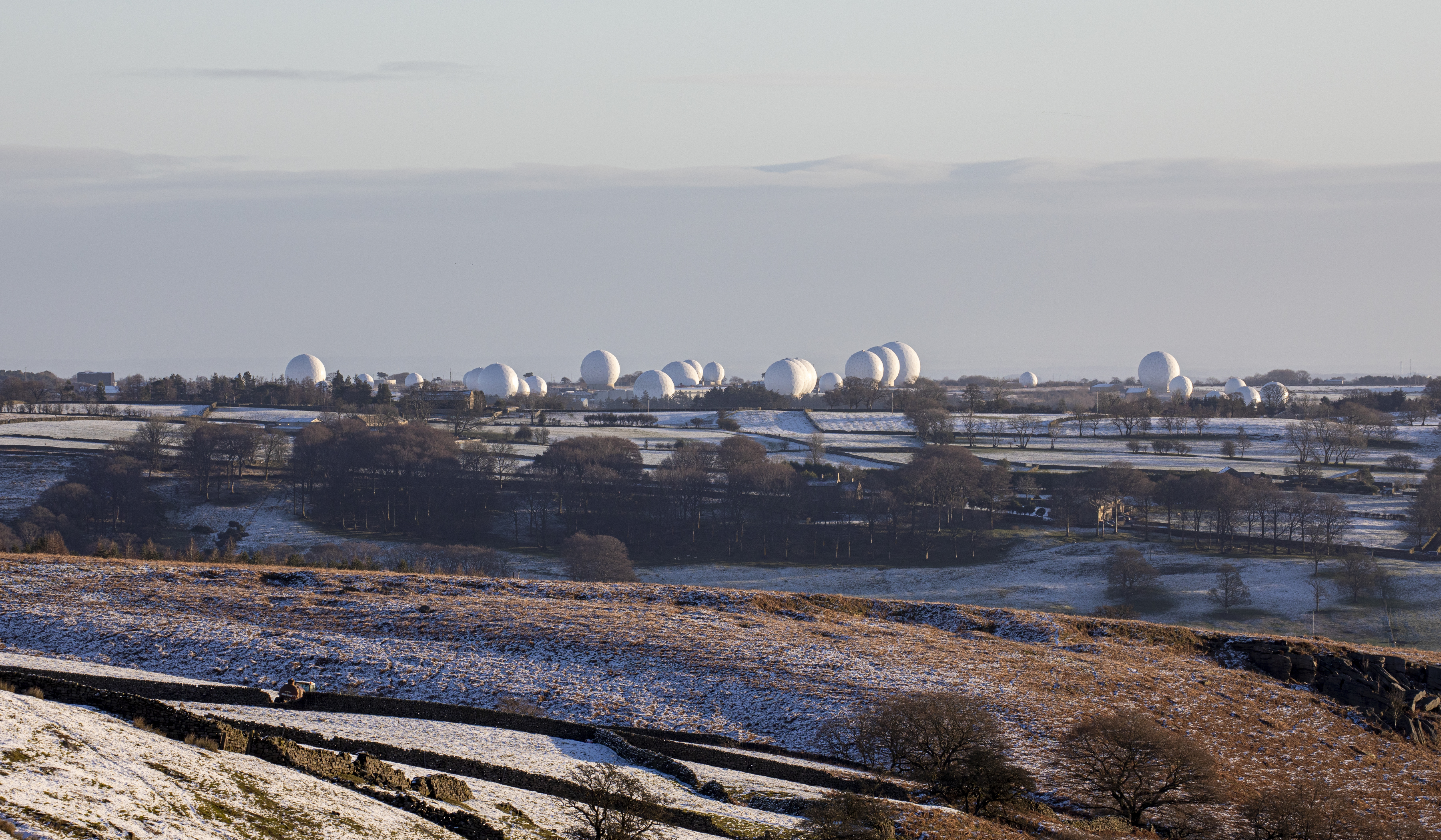
RAF Menwith Hill
Royal Air Force Menwith Hill or more simply RAF Menwith Hill is a Royal Air Force station near Harrogate, North Yorkshire, England, which provides communications...
Nearby Amenities
Located within 500m of 53.980551,-1.6861886Have you been to Bramelane?
Leave your review of Bramelane below (or comments, questions and feedback).