Blakenhall Heath

Settlement in Staffordshire

England

Blakenhall Heath

Wyrley & Essington Canal towards Stubbs Bridge
Wyrley & Essington Canal towards Stubbs Bridge Credit: Ian S

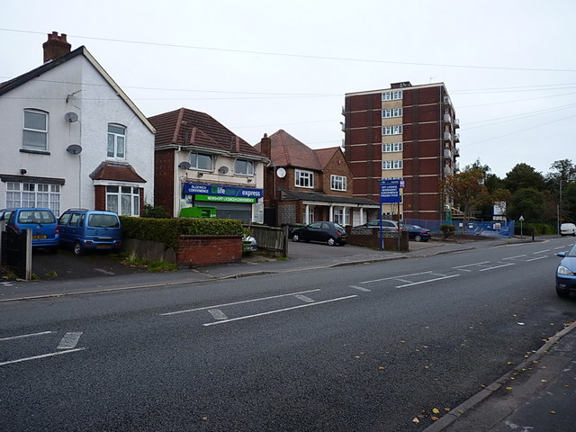
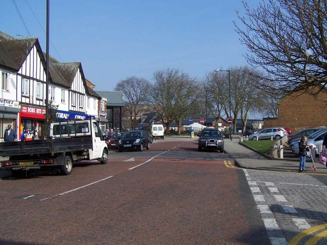
Blakenhall Heath is a small village located in the county of Staffordshire, England. It is situated approximately 4 miles east of the town of Stafford. The village is set in a rural landscape surrounded by picturesque countryside, offering residents and visitors a peaceful and tranquil environment.

Blakenhall Heath is known for its charming and traditional architecture, with many of its buildings dating back several centuries. The village is home to a close-knit community, fostering a strong sense of community spirit. Residents often participate in various local activities and events, contributing to the vibrant atmosphere of the village.

The village is well-connected to nearby towns and cities, with good transportation links, making it an ideal location for commuters. The nearby town of Stafford provides a range of amenities and services, including shopping centers, restaurants, and leisure facilities.

Blakenhall Heath is also blessed with natural beauty. The surrounding countryside offers ample opportunities for outdoor activities, such as hiking, cycling, and birdwatching. The village is located near Cannock Chase, an Area of Outstanding Natural Beauty, where visitors can explore ancient woodlands, open heathland, and diverse wildlife.

Overall, Blakenhall Heath is a charming and peaceful village in Staffordshire, offering a high quality of life with its rural setting, strong community spirit, and access to amenities and natural beauty.

If you have any feedback on the listing, please let us know in the comments section below.

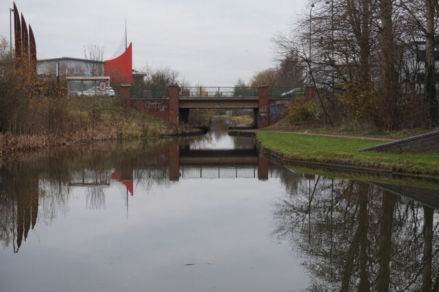
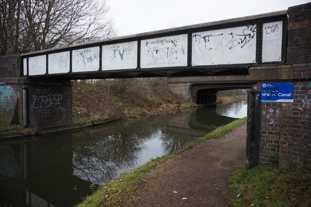
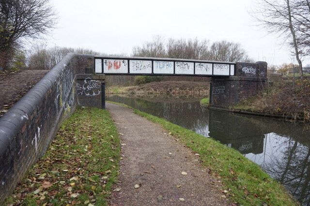
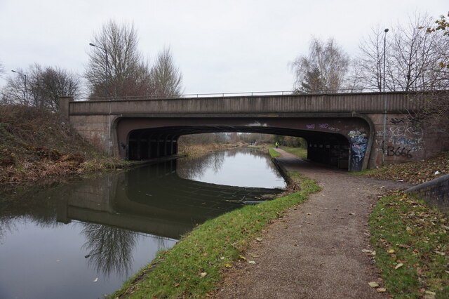
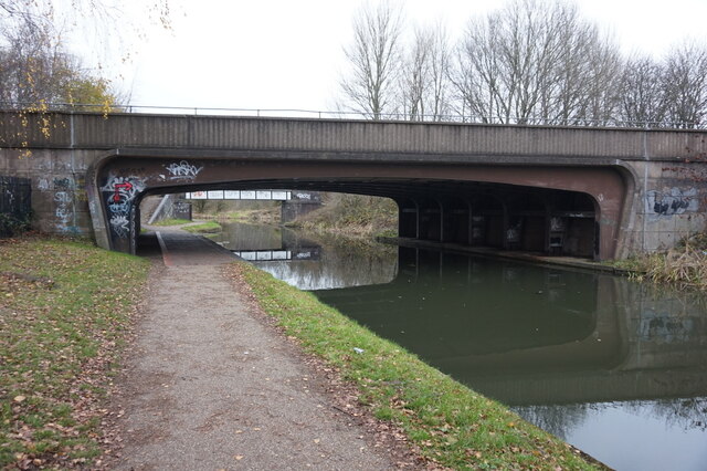
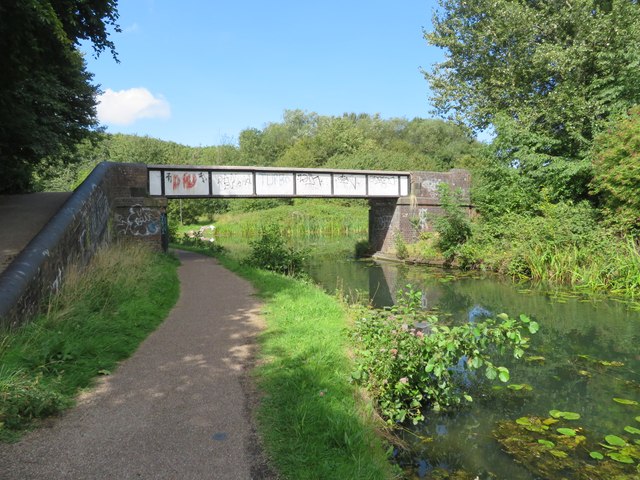
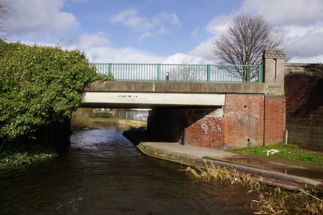
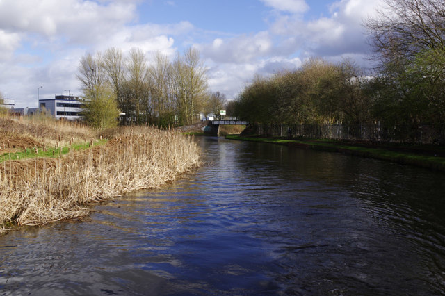
Blakenhall Heath Images

Images are sourced within 2km of 52.612959/-1.996275 or Grid Reference SK0001. Thanks to Geograph Open Source API. All images are credited.

Wyrley & Essington Canal towards Stubbs Bridge
Wyrley & Essington Canal at Stubbs Bridge
Wyrley & Essington Canal at Birchills Junction
Walsall Canal at Birchills Junction Bridge
Walsall Canal at Stephenson Avenue Bridge
Walsall Junction Canal, Birchills Junction Bridge The Wyrley & Essington Canal runs on the far side of this bridge. The Walsall Junction Canal meets it at a Tee junction. The bridge is a footbridge for the towpath. The Walsall Junction Canal is part of the Birmingham Canal Navigations and is an extension of the Walsall canal from where it heads for the wharf in Walsall to Birchills Junction via a flight of 8 locks.
Walsall Junction Canal, Birchills Junction Bridge
The Wyrley & Essington Canal runs on the far side of this bridge. The Walsall Junction Canal meets it at a Tee junction. The bridge is a footbridge for the towpath. The Walsall Junction Canal is part of the Birmingham Canal Navigations and is an extension of the Walsall canal from where it heads for the wharf in Walsall to Birchills Junction via a flight of 8 locks.
Hildicks Bridge, Wyrley & Essington Canal The canal passes under Goscote Lane as it winds through the Walsall suburbs.
Hildicks Bridge, Wyrley & Essington Canal
The canal passes under Goscote Lane as it winds through the Walsall suburbs.
Pratts Mill Bridge, Wyrley & Essington Canal Pratts Mill Bridge carries Bloxwich Road over the canal.
Pratts Mill Bridge, Wyrley & Essington Canal
Pratts Mill Bridge carries Bloxwich Road over the canal.
Birchills Junction At Birchills Junction the Walsall Canal leaves the Wyrley & Essington (through the bridge) for central Walsall and Ryder's Green Junction.
Birchills Junction
At Birchills Junction the Walsall Canal leaves the Wyrley & Essington (through the bridge) for central Walsall and Ryder's Green Junction.
Victoria Avenue, Blakenhall Heath Just north of Walsall, Blakenhall Heath is primarily given over to housing. Old maps prior to WW2 suggest that it was still very rural up until about the early 1930s, but building of the estates put an end to that between the wars. Many of the houses date from that period, although the ones on the right here are clearly more recent.
Victoria Avenue, Blakenhall Heath
Just north of Walsall, Blakenhall Heath is primarily given over to housing. Old maps prior to WW2 suggest that it was still very rural up until about the early 1930s, but building of the estates put an end to that between the wars. Many of the houses date from that period, although the ones on the right here are clearly more recent.
Shops, houses and flats on Field Road Described as Field Street on some of the older maps (1880s until 1938, at any rate) Field Road runs north-south through Blakenhall Heath, joining the High St B4210 to the A4142 Lichfield Road.
Shops, houses and flats on Field Road
Described as Field Street on some of the older maps (1880s until 1938, at any rate) Field Road runs north-south through Blakenhall Heath, joining the High St B4210 to the A4142 Lichfield Road.
OS benchmark - Blakenhall Heath, 214 Field Road An OS cutmark on the NW angle of 214 Field Road; originally levelled, probably in 1957, at 161.904m above Ordnance Datum Newlyn.
OS benchmark - Blakenhall Heath, 214 Field Road
An OS cutmark on the NW angle of 214 Field Road; originally levelled, probably in 1957, at 161.904m above Ordnance Datum Newlyn.
Penderel Street crosses Hamilton Street in Blakenhall Heath Part of the extensive inter-war housing developments north of Walsall.
Penderel Street crosses Hamilton Street in Blakenhall Heath
Part of the extensive inter-war housing developments north of Walsall.
Ash Street towards Ryle Street Interwar housing developments in Blakenhall Heath
Ash Street towards Ryle Street
Interwar housing developments in Blakenhall Heath
OS benchmark - Blakenhall Heath, 30 Ryle Street An OS cutmark on the front wall of 30 Ryle Street; originally levelled, probably in 1957, at 148.87m above Ordnance Datum Newlyn.
OS benchmark - Blakenhall Heath, 30 Ryle Street
An OS cutmark on the front wall of 30 Ryle Street; originally levelled, probably in 1957, at 148.87m above Ordnance Datum Newlyn.
OS benchmark - Blakenhall Heath, 136 Valley Road An OS cutmark on the north wall of 136 Valley Road; originally levelled, probably in 1957, at 114.411m above Ordnance Datum Newlyn.
OS benchmark - Blakenhall Heath, 136 Valley Road
An OS cutmark on the north wall of 136 Valley Road; originally levelled, probably in 1957, at 114.411m above Ordnance Datum Newlyn.
Show me another place!

Blakenhall Heath is located at Grid Ref: SK0001 (Lat: 52.612959, Lng: -1.996275)

Unitary Authority: Walsall

Police Authority: West Midlands

What 3 Words

///space.stud.risks. Near Bloxwich, West Midlands

Related Wikis

Blakenall Heath

Blakenall Heath is a suburban village in the Metropolitan Borough of Walsall in the West Midlands County, England. It straddles the border of Walsall and...

Leamore

Leamore is a suburb of Bloxwich and Walsall in Metropolitan Borough of Walsall, West Midlands County, England. It is a mix of private and council housing...

Christ Church, Blakenall Heath

Christ Church is a grade-II listed church in the suburban village of Blakenall Heath, in the Metropolitan Borough of Walsall, in the county of the West...

Bloxwich Town F.C.

Bloxwich Town Football Club was a football club based in Bloxwich, West Midlands, England, based at The Red Lion Ground. == History == The original club...

Nearby Amenities

Located within 500m of 52.612959,-1.996275
Bus Stop
Somerfield Rd / Nursery Rd
Bus: yes
Naptan AtcoCode: 43000614301
Naptan Bearing: SE
Naptan BusStopType: MKD
Naptan CommonName: Nursery Rd
Naptan Indicator: opp
Naptan NaptanCode: nwmgwgpd
Naptan PlusbusZoneRef: BHAMNWS
Naptan Status: ACT
Naptan StopType: BCT
Naptan Street: SOMERFIELD RD
Naptan Towards: Walsall
Naptan Verified: no
Public Transport: platform
Route Ref: 2;X51
Source: WMCA
Lat/Long: 52.6106532/-2.0016836
Bus Stop
Bloxwich Road / Leamore Lane
NaPTANAreaCode: 43000616401
Bus: yes
Naptan AtcoCode: 43000616401
Naptan Bearing: NW
Naptan BusStopType: MKD
Naptan CommonName: Leamore Lane
Naptan Indicator: adj
Naptan NaptanCode: nwmgwjat
Naptan PlusbusZoneRef: BHAMNWS
Naptan Status: ACT
Naptan StopType: BCT
Naptan Street: BLOXWICH ROAD
Naptan Towards: Bloxwich
Naptan Verified: no
Public Transport: platform
Route Ref: 1;2E;301;302
Shelter: yes
Shelter Ref: 202315
Source: WMCA
Lat/Long: 52.6085405/-1.995422
Bus Stop
Bloxwich Road / Leamore Lane
NaPTANAreaCode: 43000616402
Bus: yes
Location: Bloxwich Road;Leamore Lane
Naptan AtcoCode: 43000616402
Naptan Bearing: SE
Naptan BusStopType: MKD
Naptan CommonName: Leamore Lane
Naptan Indicator: opp
Naptan NaptanCode: nwmgwjaw
Naptan PlusbusZoneRef: BHAMNWS
Naptan Status: ACT
Naptan StopType: BCT
Naptan Street: BLOXWICH ROAD
Naptan Towards: Walsall
Naptan Verified: yes
Public Transport: platform
Route Ref: 1;2E;301;302
Shelter: yes
Shelter Ref: 202314
Source: WMCA
Towards: Walsall
Lat/Long: 52.6086124/-1.9952301
Bus Stop
Bloxwich Road / Green Lane
NaPTANAreaCode: 43000616501
Bus: yes
Naptan AtcoCode: 43000616501
Naptan Bearing: NW
Naptan BusStopType: MKD
Naptan CommonName: Green Lane
Naptan Indicator: adj
Naptan NaptanCode: nwmgwjda
Naptan PlusbusZoneRef: BHAMNWS
Naptan Status: ACT
Naptan StopType: BCT
Naptan Street: BLOXWICH ROAD
Naptan Towards: Bloxwich
Public Transport: platform
Route Ref: 1;2E;301;302
Shelter: yes
Shelter Ref: 202317
Source: WMCA
Lat/Long: 52.611163/-1.9989057
Bus Stop
Bloxwich Road / Green Lane
NaPTANAreaCode: 43000616502
Bus: yes
Location: Bloxwich Road;Green Lane
Naptan AtcoCode: 43000616502
Naptan Bearing: SE
Naptan BusStopType: MKD
Naptan CommonName: Green Lane
Naptan Indicator: opp
Naptan NaptanCode: nwmgwjdg
Naptan PlusbusZoneRef: BHAMNWS
Naptan Status: ACT
Naptan StopType: BCT
Naptan Street: BLOXWICH ROAD
Naptan Towards: Walsall
Naptan Verified: yes
Public Transport: platform
Route Ref: 1;2E;301;302
Shelter: yes
Shelter Ref: 202316
Source: WMCA
Towards: Walsall
Lat/Long: 52.6105614/-1.9978962
Bus Stop
Blakenall Heath / Blakenall Row
NaPTANAreaCode: 43000618501
Asset Ref: 0618501
Bus: yes
Location: Blakenall Heath;Blakenall Row
Naptan AtcoCode: 43000618501
Naptan Bearing: N
Naptan BusStopType: MKD
Naptan CommonName: Blakenall Row
Naptan Indicator: adj
Naptan NaptanCode: nwmgwjtw
Naptan PlusbusZoneRef: BHAMNWS
Naptan Status: ACT
Naptan StopType: BCT
Naptan Street: BLAKENALL HEATH
Naptan Towards: Bloxwich
Naptan Verified: yes
Public Transport: platform
Route Ref: 19;29
Shelter: yes
Shelter Ref: 0618501
Source: WMCA
Towards: Bloxwich
Lat/Long: 52.6141416/-1.9907645
Chantry Ave / Guild Ave
Naptan AtcoCode: 43000618701
Naptan Bearing: NW
Naptan BusStopType: CUS
Naptan CommonName: Guild Ave
Naptan Indicator: before
Naptan NaptanCode: nwmgwjwg
Naptan PlusbusZoneRef: BHAMNWS
Naptan Status: ACT
Naptan StopType: BCT
Naptan Street: CHANTRY AVE
Naptan Towards: Bloxwich
Naptan Verified: no
Route Ref: 25
Source: WMCA
Lat/Long: 52.6111472/-1.9896916
Chantry Ave / Guild Ave
Naptan AtcoCode: 43000618702
Naptan Bearing: SE
Naptan BusStopType: CUS
Naptan CommonName: Guild Ave
Naptan Indicator: after
Naptan NaptanCode: nwmtpdjw
Naptan PlusbusZoneRef: BHAMNWS
Naptan Status: ACT
Naptan StopType: BCT
Naptan Street: CHANTRY AVE
Naptan Towards: Pelsall
Naptan Verified: no
Route Ref: 25
Source: WMCA
Lat/Long: 52.6111652/-1.9897211
Chantry Ave / Blakenall Lane
Naptan AtcoCode: 43000619001
Naptan Bearing: NW
Naptan BusStopType: CUS
Naptan CommonName: Blakenall Lane
Naptan Indicator: after
Naptan NaptanCode: nwmtapat
Naptan PlusbusZoneRef: BHAMNWS
Naptan Status: ACT
Naptan StopType: BCT
Naptan Street: CHANTRY AVE
Naptan Towards: Bloxwich
Naptan Verified: no
Route Ref: 25
Source: WMCA
Lat/Long: 52.6122452/-1.9930143
Chantry Ave / Blakenall Lane
Naptan AtcoCode: 43000619002
Naptan Bearing: SE
Naptan BusStopType: CUS
Naptan CommonName: Blakenall Lane
Naptan Indicator: before
Naptan NaptanCode: nwmtapaw
Naptan PlusbusZoneRef: BHAMNWS
Naptan Status: ACT
Naptan StopType: BCT
Naptan Street: CHANTRY AVE
Naptan Towards: Pelsall
Naptan Verified: no
Route Ref: 25
Source: WMCA
Lat/Long: 52.6123414/-1.9925819
Bus Stop
Blakenall Heath / Blakenall Church
NaPTANAreaCode: 43000621603
Bus: yes
Location: Blakenall Heath;Blakenall Church
Naptan AtcoCode: 43000621603
Naptan Bearing: W
Naptan BusStopType: MKD
Naptan CommonName: Blakenall Church
Naptan Indicator: after
Naptan NaptanCode: nwmgwmjt
Naptan PlusbusZoneRef: BHAMNWS
Naptan Status: ACT
Naptan StopType: BCT
Naptan Street: BLAKENALL HEATH
Naptan Towards: Walsall
Naptan Verified: yes
Public Transport: platform
Route Ref: 19;29
Shelter: yes
Shelter Ref: 202326
Source: WMCA
Towards: Walsall
Lat/Long: 52.6156623/-1.9903958
Bus Stop
Blakenall Heath / Blakenall Church
Asset Ref: 0621604
Bus: yes
Location: Blakenall Heath;Blakenall Church
Naptan AtcoCode: 43000621604
Naptan Bearing: N
Naptan BusStopType: MKD
Naptan CommonName: Blakenall Church
Naptan Indicator: opp
Naptan NaptanCode: nwmwamtw
Naptan Status: ACT
Naptan StopType: BCT
Naptan Street: BLAKENALL HEATH
Naptan Towards: Bloxwich
Naptan Verified: no
Public Transport: platform
Route Ref: 19;29
Shelter: no
Source: WMCA
Towards: Bloxwich
Lat/Long: 52.615375/-1.9907696
Bus Stop
Field Rd / Woodall St
Asset Ref: 0621701
Bus: yes
Location: Field Road;Woodall Street
Naptan AtcoCode: 43000621701
Naptan Bearing: S
Naptan BusStopType: MKD
Naptan CommonName: Woodall St
Naptan Indicator: opp
Naptan Landmark: Asda
Naptan NaptanCode: nwmtapdm
Naptan PlusbusZoneRef: BHAMNWS
Naptan Status: ACT
Naptan StopType: BCT
Naptan Street: FIELD RD
Naptan Towards: Bloxwich
Naptan Verified: yes
Public Transport: platform
Route Ref: 8A;23;25;29
Shelter: no
Source: WMCA
Towards: Bloxwich
Lat/Long: 52.6134131/-1.999808
Bus Stop
Field Rd / Woodall St
Asset Ref: 0621702
Bus: yes
Location: Field Road;Woodall Street
Naptan AtcoCode: 43000621702
Naptan Bearing: N
Naptan BusStopType: MKD
Naptan CommonName: Woodall St
Naptan Indicator: adj
Naptan Landmark: Asda
Naptan NaptanCode: nwmtapdp
Naptan PlusbusZoneRef: BHAMNWS
Naptan Status: ACT
Naptan StopType: BCT
Naptan Street: FIELD RD
Naptan Towards: Pelsall
Naptan Verified: yes
Public Transport: platform
Route Ref: 8A;23
Shelter: no
Source: WMCA
Towards: Pelsall
Lat/Long: 52.6135324/-1.999899
Field Rd / Harrison St
Naptan AtcoCode: 43000621801
Naptan Bearing: N
Naptan BusStopType: CUS
Naptan CommonName: Harrison St
Naptan Indicator: adj
Naptan NaptanCode: nwmtapdt
Naptan Status: ACT
Naptan StopType: BCT
Naptan Street: FIELD RD
Naptan Towards: Pelsall
Naptan Verified: no
Route Ref: 8A;23
Source: WMCA
Lat/Long: 52.6157236/-1.9982424
Field Rd / Harrison St
Naptan AtcoCode: 43000621802
Naptan Bearing: S
Naptan BusStopType: CUS
Naptan CommonName: Harrison St
Naptan Indicator: opp
Naptan NaptanCode: nwmtapdw
Naptan PlusbusZoneRef: BHAMNWS
Naptan Status: ACT
Naptan StopType: BCT
Naptan Street: FIELD RD
Naptan Towards: Bloxwich
Naptan Verified: no
Route Ref: 8A;23;29
Source: WMCA
Lat/Long: 52.6157146/-1.9980799
Bus Stop
Somerfield Rd / Stokes St
Bench: no
Bin: no
Bus: yes
Mapillary: 855436121707944
Naptan AtcoCode: 43000622001
Naptan Bearing: SE
Naptan BusStopType: MKD
Naptan CommonName: Stokes St
Naptan Indicator: opp
Naptan NaptanCode: nwmgwmjw
Naptan PlusbusZoneRef: BHAMNWS
Naptan Status: ACT
Naptan StopType: BCT
Naptan Street: SOMERFIELD RD
Naptan Towards: Walsall
Naptan Verified: no
Public Transport: platform
Route Ref: 2;X51
Shelter: no
Source: WMCA
Survey Date: 2020-02-01
Tactile Paving: no
Lat/Long: 52.612613/-2.0030276
Bus Stop
Somerfield Rd / Stokes St
Bench: no
Bin: no
Bus: yes
Naptan AtcoCode: 43000622002
Naptan Bearing: NW
Naptan BusStopType: MKD
Naptan CommonName: Stokes St
Naptan Indicator: adj
Naptan NaptanCode: nwmgwmpa
Naptan PlusbusZoneRef: BHAMNWS
Naptan Status: ACT
Naptan StopType: BCT
Naptan Street: SOMERFIELD RD
Naptan Towards: Bloxwich
Naptan Verified: no
Public Transport: platform
Route Ref: 2;X51
Shelter: no
Source: WMCA
Lat/Long: 52.6121219/-2.0029363
Bus Stop
High St / The Pinfold
NaPTANAreaCode: 43000622101
Bus: yes
Location: High Street;The Pinfold
Naptan AtcoCode: 43000622101
Naptan Bearing: SE
Naptan BusStopType: MKD
Naptan CommonName: The Pinfold
Naptan Indicator: adj
Naptan NaptanCode: nwmgwmpd
Naptan PlusbusZoneRef: BHAMNWS
Naptan Status: ACT
Naptan StopType: BCT
Naptan Street: HIGH ST
Naptan Towards: Walsall
Naptan Verified: yes
Public Transport: platform
Route Ref: 1;2E;8A;23;25;301;302
Shelter: yes
Shelter Ref: 202356
Source: WMCA
Towards: Walsall
Lat/Long: 52.6128433/-2.0013803
Bus Stop
High St / The Pinfold
NaPTANAreaCode: 43000622102
Bus: yes
Location: High Street;The Pinfold
Naptan AtcoCode: 43000622102
Naptan Bearing: NW
Naptan BusStopType: MKD
Naptan CommonName: The Pinfold
Naptan Indicator: opp
Naptan NaptanCode: nwmgwmpg
Naptan PlusbusZoneRef: BHAMNWS
Naptan Status: ACT
Naptan StopType: BCT
Naptan Street: HIGH ST
Naptan Towards: Bloxwich
Naptan Verified: yes
Public Transport: platform
Route Ref: 1;2E;8A;23;25;29;301;302
Shelter: yes
Shelter Ref: 202318
Source: WMCA
Towards: Bloxwich
Lat/Long: 52.6127343/-2.0015687
Bus Stop
Valley Rd / Hamilton St
Bus: yes
Naptan AtcoCode: 43000624001
Naptan Bearing: NE
Naptan BusStopType: MKD
Naptan CommonName: Hamilton St
Naptan Indicator: adj
Naptan NaptanCode: nwmtapgw
Naptan Status: ACT
Naptan StopType: BCT
Naptan Street: VALLEY RD
Naptan Towards: Pelsall
Naptan Verified: no
Public Transport: platform
Route Ref: 23
Source: WMCA
Lat/Long: 52.61522/-1.99227
Bus Stop
Valley Rd / Hamilton St
Bus: yes
Naptan AtcoCode: 43000624002
Naptan Bearing: SW
Naptan BusStopType: MKD
Naptan CommonName: Hamilton St
Naptan Indicator: opp
Naptan NaptanCode: nwmtapja
Naptan Status: ACT
Naptan StopType: BCT
Naptan Street: VALLEY RD
Naptan Towards: Bloxwich
Naptan Verified: no
Public Transport: platform
Route Ref: 23
Source: WMCA
Lat/Long: 52.6151486/-1.992348
Bus Stop
Field Rd / Hamilton House
Asset Ref: 0624902
Bus: yes
Location: Field Road;Hamilton House
Naptan AtcoCode: 43000624902
Naptan Bearing: S
Naptan BusStopType: MKD
Naptan CommonName: Hamilton House
Naptan Indicator: opp
Naptan NaptanCode: nwmtpmjm
Naptan PlusbusZoneRef: BHAMNWS
Naptan Status: ACT
Naptan StopType: BCT
Naptan Street: FIELD RD
Naptan Towards: Bloxwich
Naptan Verified: yes
Public Transport: platform
Route Ref: 8A;29
Shelter: no
Source: WMCA
Towards: Bloxwich
Lat/Long: 52.6174375/-1.9968459
Crossing
Source: bing
Lat/Long: 52.6129769/-2.0031955
Traffic Signals
Crossing: traffic_signals
Source: bing
Lat/Long: 52.6132432/-2.0034415
Crossing
Check Date Crossing: 2021-06-30
Crossing: zebra
Crossing Island: no
Tactile Paving: yes
Lat/Long: 52.6130821/-2.0002163
Pub
The Wheatsheaf
Addr Postcode: WS3 3JL
Fhrs Id: 1221296
Source: GPS Survey
Lat/Long: 52.613289/-1.9997751
Pharmacy
Rowlands Pharmacy
Addr Postcode: WS3 3JJ
Brand: Rowlands Pharmacy
Brand Wikidata: Q62663235
Fhrs Id: 635412
Healthcare: pharmacy
Website: https://rowlandspharmacy.co.uk/find-local-pharmacy#!/l/walsall/29a-the-pinfold/1513
Lat/Long: 52.6134548/-2.0003263
Pharmacy
Lloyds Pharmacy
Addr Postcode: WS3 3JE
Brand: Lloyds Pharmacy
Brand Wikidata: Q6662870
Brand Wikipedia: en:LloydsPharmacy
Fhrs Id: 639661
Healthcare: pharmacy
Lat/Long: 52.6134413/-1.9995867
Atm
Lat/Long: 52.6138692/-2.0022133
Atm
Lat/Long: 52.6138042/-2.0022402
Atm
Lat/Long: 52.613755/-2.0022606
Pub
The Queens Head
Source: GPS Survey
Lat/Long: 52.6140665/-1.9997612
Crossing
Crossing: zebra
Crossing Island: no
Tactile Paving: yes
Lat/Long: 52.6137904/-1.9996086
Crossing
Crossing: marked
Tactile Paving: yes
Lat/Long: 52.6118139/-1.9991821
Noexit: yes
Lat/Long: 52.6125156/-2.0000588
Pub
Holden's Lamp Tavern
Addr City: Walsall
Addr County: West Midlands
Addr Postcode: WS3 2DA
Addr Street: High Street
Addr Town: Bloxwich
Fhrs Id: 184057
Source: GPS Survey
Source Addr: FHRS Open Data
Lat/Long: 52.6115204/-1.9990413
Bloxwich Leisure Centre Function Hall
Leisure: function_hall
Lat/Long: 52.6124979/-1.9991844
Bicycle Parking
Lat/Long: 52.6112765/-1.9955402
Nisa
Addr Postcode: WS3 1HJ
Brand: Nisa
Brand Wikidata: Q16999069
Brand Wikipedia: en:Nisa (retailer)
Fhrs Id: 446026
Shop: convenience
Lat/Long: 52.6133151/-1.9912458
Pub
New Inn
Addr City: Walsall
Addr Housenumber: 148
Addr Postcode: WS3 1HU
Addr Street: Blakenall Lane
Fhrs Id: 669386
Source: GPS Survey
Lat/Long: 52.613211/-1.9908069
Post Box
Check Date: 2021-04-29
Collection Times: Mo-Fr 09:00, Sa 07:00
Postal Code: WS3
Ref: WS3 42D
Royal Cypher: GR
Royal Cypher Wikidata: Q33102273
Source: GPS Survey
Lat/Long: 52.6146855/-1.9990359
Toilets
Source: GPS Survey
Lat/Long: 52.613751/-1.9908294
Atm
Lat/Long: 52.6139072/-1.9902802
Post Office
Blakenall Post Office
Addr Country: GB
Addr Postcode: WS3 1HU
Brand: Post Office
Brand Wikidata: Q1783168
Contact Website: https://www.postoffice.co.uk/branch-finder/1572423/blakenall
Ref Pol Id: 3395
Lat/Long: 52.613908/-1.9902443
Post Box
Postal Code: WS3
Ref: WS3 92
Source: GPS Survey
Lat/Long: 52.6139229/-1.9902856
Blakenall Heath
Place: suburb
Source: OS_OpenData_StreetView
Wikidata: Q12053174
Wikipedia: en:Blakenall Heath
Lat/Long: 52.6150193/-1.9938298
Barrier: bollard
Lat/Long: 52.6088009/-1.9982762
Traffic Signals
Crossing: traffic_signals
Lat/Long: 52.6131182/-2.0032404
Traffic Signals
Crossing: traffic_signals
Source: bing
Lat/Long: 52.6130004/-2.0031261
Traffic Signals
Source: bing
Lat/Long: 52.6132166/-2.003586
Traffic Signals
Crossing: traffic_signals
Source: bing
Lat/Long: 52.6129479/-2.0034177
Bus Stop
Victoria Ave / Penderel Street
Bench: no
Bus: yes
Naptan AtcoCode: 43000623902
Naptan Bearing: NW
Naptan BusStopType: MKD
Naptan CommonName: Penderel Street
Naptan Indicator: before
Naptan NaptanCode: nwmtapgt
Naptan Status: ACT
Naptan StopType: BCT
Naptan Street: VICTORIA AVE
Naptan Towards: Bloxwich
Public Transport: platform
Route Ref: 23
Shelter: no
Source: WMCA
Tactile Paving: no
Lat/Long: 52.6165916/-1.9966041
Bus Stop
Victoria Ave / Penderel Street
Bench: no
Bus: yes
Naptan AtcoCode: 43000623901
Naptan Bearing: SE
Naptan BusStopType: MKD
Naptan CommonName: Penderel Street
Naptan Indicator: after
Naptan NaptanCode: nwmtapgp
Naptan Status: ACT
Naptan StopType: BCT
Naptan Street: VICTORIA AVE
Naptan Towards: Pelsall
Public Transport: platform
Route Ref: 23
Shelter: no
Source: WMCA
Tactile Paving: no
Lat/Long: 52.6164028/-1.9954816
Fresh
Shop: hairdresser
Lat/Long: 52.6133022/-2.0033004
Fast Food
Oriental Harvest
Addr Postcode: WS3 2DG
Fhrs Id: 480758
Lat/Long: 52.613246/-2.0031516
Fast Food
Pinfold Chippy
Addr Postcode: WS3 2DG
Cuisine: fish_and_chips
Fhrs Id: 870187
Lat/Long: 52.6132298/-2.0030658
Fast Food
Golden Bowl
Addr Postcode: WS3 2DG
Fhrs Id: 183524
Lat/Long: 52.6132151/-2.0029786
Dentist
First Dental
Healthcare: dentist
Lat/Long: 52.613185/-2.0028069
Fastcar
Shop: car_parts
Lat/Long: 52.6130905/-2.0022624
Barrier: bollard
Lat/Long: 52.6109185/-1.9994393
Bicycle Parking
Access: yes
Bicycle Parking: stands
Capacity: 6
Covered: no
Fee: no
Lat/Long: 52.6133136/-2.0004816
Bicycle Parking
Access: yes
Bicycle Parking: stands
Capacity: 10
Covered: yes
Fee: no
Lat/Long: 52.6119861/-1.9983865
Barrier: bollard
Motor Vehicle: no
Lat/Long: 52.6090143/-1.9989413
Noexit: yes
Lat/Long: 52.6125232/-1.9998561
Crossing
Crossing: marked
Tactile Paving: yes
Lat/Long: 52.6121451/-1.9992537
Fast Food
Golden Flavour
Addr City: Walsall
Addr Housenumber: 66
Addr Postcode: WS3 3ER
Addr Street: Valley Road
Cuisine: chinese
Fhrs Id: 184358
Lat/Long: 52.6155946/-1.9923956
Valley Wines
Addr City: Walsall
Addr Housenumber: 60-62
Addr Postcode: WS3 3ER
Addr Street: Valley Road
Fhrs Id: 198484
Shop: alcohol
Lat/Long: 52.6154711/-1.9924811
Fast Food
Victoria Fish Bar
Addr City: Walsall
Addr Housenumber: 113A
Addr Postcode: WS3 3ET
Addr Street: Victoria Avenue
Cuisine: fish_and_chips
Fhrs Id: 1261805
Lat/Long: 52.6154048/-1.9923484
Post Box
Post Box Type: pillar
Royal Cypher: EIIR
Royal Cypher Wikidata: Q33102113
Lat/Long: 52.6140056/-2.0021404
Entrance: main
Lat/Long: 52.6139962/-2.0021607
Crossing
Crossing: marked
Tactile Paving: yes
Lat/Long: 52.6119091/-1.9988539
Leisure: swimming_pool
Lat/Long: 52.6121266/-1.9984066
Crossing
Crossing: marked
Tactile Paving: yes
Lat/Long: 52.6125013/-1.999449
Crossing
Crossing: marked
Tactile Paving: yes
Lat/Long: 52.612441/-1.9992573
Crossing
Crossing: marked
Tactile Paving: yes
Lat/Long: 52.6123775/-1.9990554
Crossing
Crossing: marked
Tactile Paving: yes
Lat/Long: 52.6122152/-1.9994868
Noexit: yes
Lat/Long: 52.6154569/-1.9999927
Noexit: yes
Lat/Long: 52.615525/-2.0002098
Noexit: yes
Lat/Long: 52.6155394/-1.9985939
Noexit: yes
Lat/Long: 52.6155928/-1.9988066
Noexit: yes
Lat/Long: 52.6156487/-1.9990196
Noexit: yes
Lat/Long: 52.6157059/-1.9992533
Old Hall Snooker Club
Leisure: sports_centre
Sport: snooker
Lat/Long: 52.6157747/-2.0001876
Regency Design Centre
Craft: plasterer
Lat/Long: 52.6152364/-1.9987218
Preson
Shop: beauty
Lat/Long: 52.6151968/-1.9987482
Deivine & Co
Office: accountant
Lat/Long: 52.6151572/-1.9987746
Sudz
Shop: laundry
Lat/Long: 52.6151175/-1.9988009
Gentelman's Hairdresser
Shop: hairdresser
Lat/Long: 52.6150779/-1.9988273
We Buy Properties
Office: estate_agent
Lat/Long: 52.6150383/-1.9988537
Field Road News & Wine
Addr City: Walsall
Addr Housenumber: 39
Addr Postcode: WS3 3JD
Addr Street: Field Road
Fhrs Id: 930324
Shop: newsagent
Lat/Long: 52.6149987/-1.9988801
Crossing
Source: bing
Lat/Long: 52.6129853/-2.0034398
Crossing
Source: bing
Lat/Long: 52.6131022/-2.0033392
Crossing
Source: bing
Lat/Long: 52.6132304/-2.0034009
Crossing
Crossing: traffic_signals
Source: bing
Lat/Long: 52.6106111/-2.0017795
Pharmacy
Addr City: Walsall
Addr Postcode: WS3 3JR
Addr Street: Woodall Street
Brand: Asda
Brand Wikidata: Q297410
Contact Phone: +44 1922 498010
Contact Website: https://storelocator.asda.com/west-midlands/walsall/woodhall-street/pharmacy
Fixme: Location not accurate
Healthcare: pharmacy
Opening Hours: Mo 08:00-23:00; Tu-Fr 07:00-23:00; Sa 07:00-22:00; Su 10:00-16:00
Lat/Long: 52.6136087/-2.0014992
Fast Food
Burger King
Addr City: Walsall
Addr Housenumber: 664
Addr Postcode: WS3 2BB
Addr Street: Bloxwich Road
Brand: Burger King
Brand Wikidata: Q177054
Brand Wikipedia: en:Burger King
Cuisine: burger
Fhrs Id: 1046227
Takeaway: yes
Lat/Long: 52.6097072/-1.9965284
The data included in this document is from www.openstreetmap.org. The data is made available under ODbL.

Have you been to Blakenhall Heath?

Leave your review of Blakenhall Heath below (or comments, questions and feedback).