Shripney

Settlement in Sussex Arun

England

Shripney

Chichester Road A busy scene on the B2259 in North Bersted - exacerbated by a queue for fuel the other side of the roundabouts up ahead. The bus approaching is on the Coastliner 700 service from Portsmouth. Serving Havant and Chichester on route to Bognor Regis, it will terminate at Flansham Park with an onward connection to Littlehampton.
Chichester Road Credit: Martin Addison

Shripney is a small village located in the county of Sussex, England. It is situated approximately 3 miles west of the town of Bognor Regis and is part of the civil parish of Aldwick. The village is primarily residential, with a population of around 1,500 people.

Shripney is known for its picturesque countryside and charming rural atmosphere. The village is surrounded by fields and farmland, offering residents and visitors a peaceful and tranquil environment. It is well-connected to neighboring towns and cities, with easy access to major transport links such as the A29 road.

Despite its small size, Shripney has a number of amenities to offer its residents. The village features a local pub, where people can socialize and enjoy a drink or meal. There are also a few small shops and services available, providing everyday essentials to the community.

In terms of education, Shripney is served by the nearby schools in Bognor Regis. There are several primary and secondary schools within a short distance, providing quality education for children of all ages.

The village is also within close proximity to various attractions and points of interest. The seaside town of Bognor Regis offers a range of amenities and entertainment options, including a beach, parks, and leisure facilities. Additionally, the beautiful South Downs National Park is just a short drive away, providing opportunities for outdoor activities and exploration.

Overall, Shripney offers a peaceful and idyllic setting for those seeking a rural lifestyle while still being within reach of nearby towns and attractions.

If you have any feedback on the listing, please let us know in the comments section below.
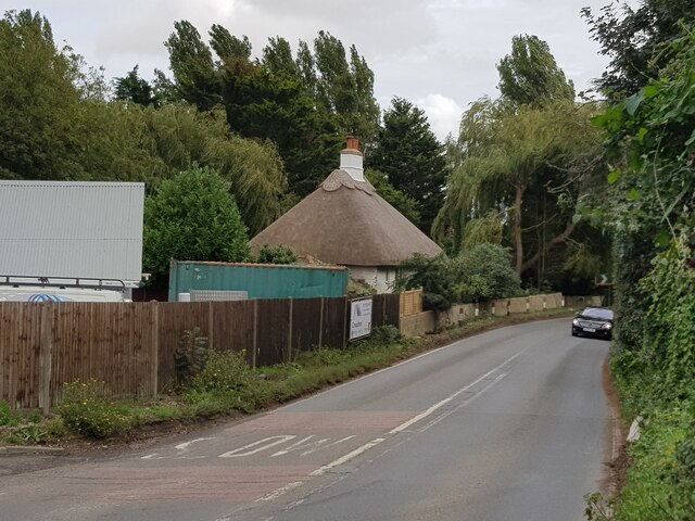
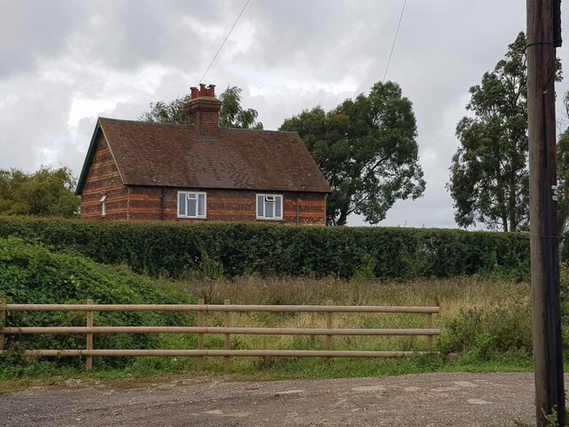
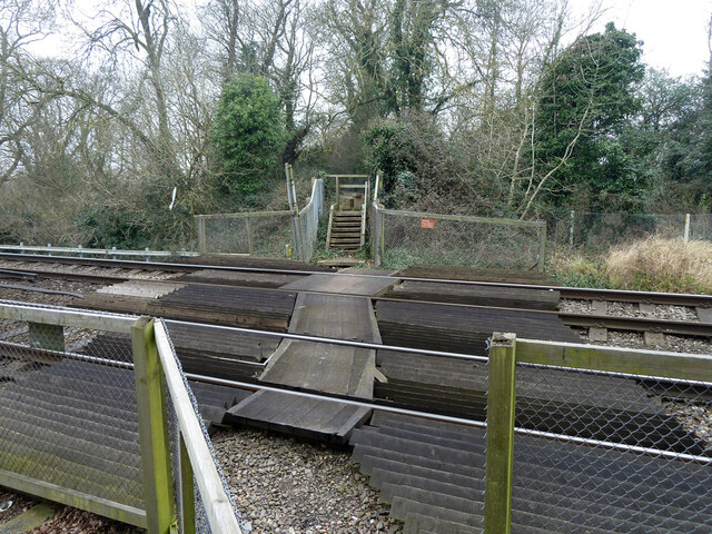
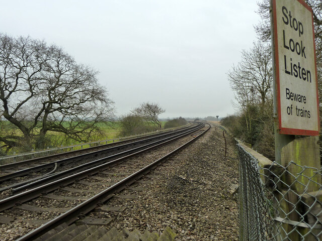
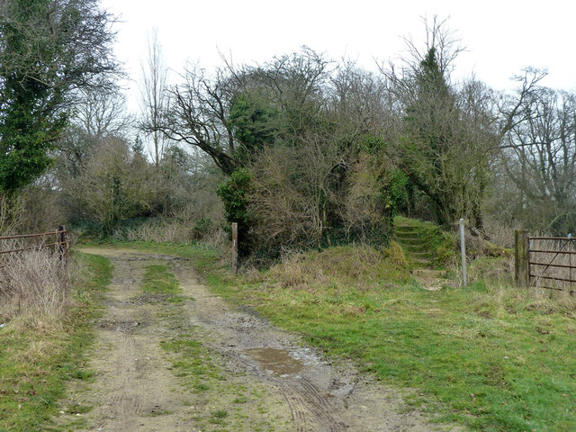
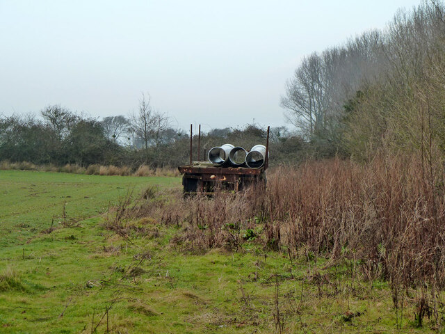
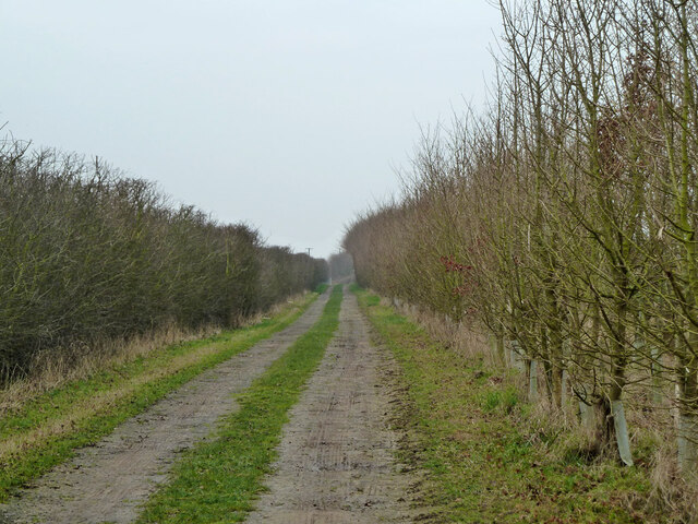
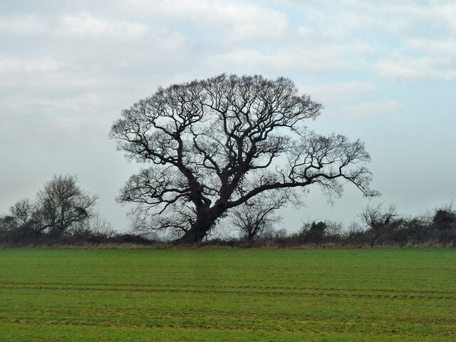
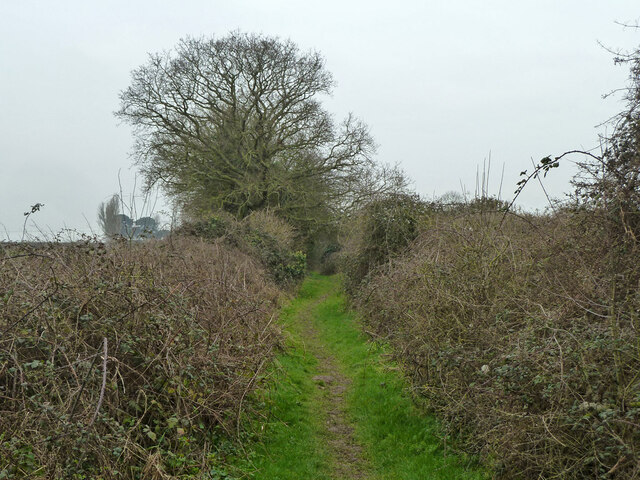
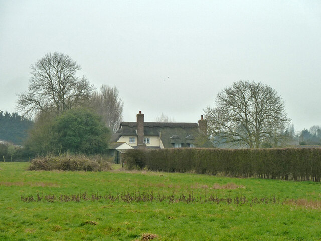
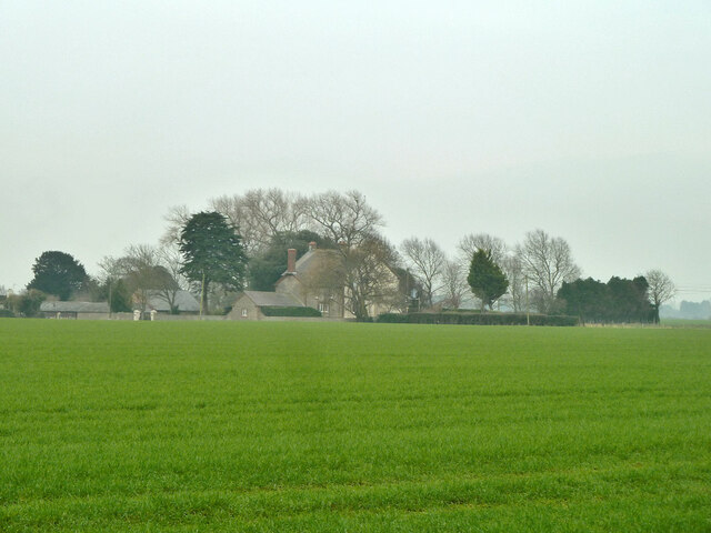
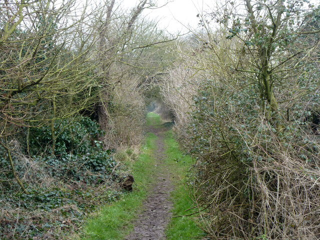
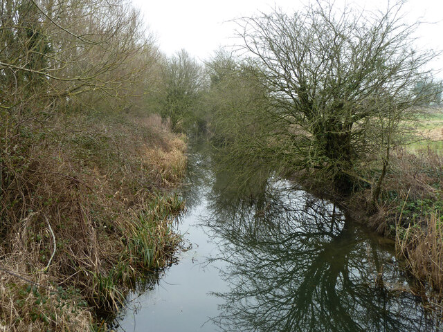
Shripney Images

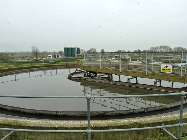
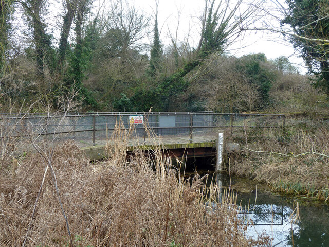
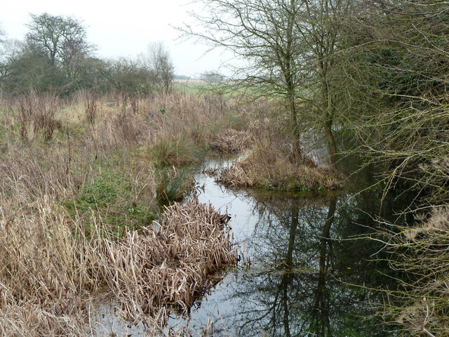
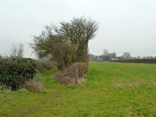
Images are sourced within 2km of 50.812644/-0.673944 or Grid Reference SU9302. Thanks to Geograph Open Source API. All images are credited.

Chichester Road A busy scene on the B2259 in North Bersted - exacerbated by a queue for fuel the other side of the roundabouts up ahead. The bus approaching is on the Coastliner 700 service from Portsmouth. Serving Havant and Chichester on route to Bognor Regis, it will terminate at Flansham Park with an onward connection to Littlehampton.
Chichester Road
A busy scene on the B2259 in North Bersted - exacerbated by a queue for fuel the other side of the roundabouts up ahead. The bus approaching is on the Coastliner 700 service from Portsmouth. Serving Havant and Chichester on route to Bognor Regis, it will terminate at Flansham Park with an onward connection to Littlehampton.
Lidsey Road (A29) at Lidsey
Lidsey Bridge Cottage, Lidsey, West Sussex
Footpath 200_1 crosses the railway The path follows the long abandoned Portsmouth and Arundel Canal. The railway is the branch to Bognor Regis. The canal was on a slight embankment over this low-lying stretch, as may be seen across the railway. This barge part of the canal became completely disused in the 1850s. The railway, then single track, was opened in 1864. It is not clear from the 1874 OS survey if the railway actually bridged the canal - the towpath was generally at 21 ft OD, something there had a benchmark at 22.9 ft. The railway may have been obliged to bridge, as the canal company was not wound up until 1896. In any event, the railway was doubled in 1911, and clearly now cuts through the canal embankment.
Footpath 200_1 crosses the railway
The path follows the long abandoned Portsmouth and Arundel Canal. The railway is the branch to Bognor Regis. The canal was on a slight embankment over this low-lying stretch, as may be seen across the railway. This barge part of the canal became completely disused in the 1850s. The railway, then single track, was opened in 1864. It is not clear from the 1874 OS survey if the railway actually bridged the canal - the towpath was generally at 21 ft OD, something there had a benchmark at 22.9 ft. The railway may have been obliged to bridge, as the canal company was not wound up until 1896. In any event, the railway was doubled in 1911, and clearly now cuts through the canal embankment.
Bognor Regis branch, looking towards Bognor From the footpath that follows the old Portsmouth and Arundel Canal.
Bognor Regis branch, looking towards Bognor
From the footpath that follows the old Portsmouth and Arundel Canal.
Footpath 200_1 ascends old canal embankment The path follows the course of the Portsmouth and Arundel Canal, disused since the 1850s. It was on a low embankment over this low-lying terrain, but here it has been razed. A farm track along the course leaves it to the left.
Footpath 200_1 ascends old canal embankment
The path follows the course of the Portsmouth and Arundel Canal, disused since the 1850s. It was on a low embankment over this low-lying terrain, but here it has been razed. A farm track along the course leaves it to the left.
Trailer with big pipes Not far from the local sewage works, but possibly to do with land drainage. Aerial photographs show that they were still there three years later.
Trailer with big pipes
Not far from the local sewage works, but possibly to do with land drainage. Aerial photographs show that they were still there three years later.
Farm track along course of old canal The Portsmouth and Arundel Canal was last used in the 1850s.
Farm track along course of old canal
The Portsmouth and Arundel Canal was last used in the 1850s.
Hedgerow tree
Hedgerow tree
Lidsey sewage works
Lidsey sewage works
Bridge over Eastergate or Lidsey Rife Carrying footpath 296_1 towards Shripney to the left, Lidsey to the right.
Bridge over Eastergate or Lidsey Rife
Carrying footpath 296_1 towards Shripney to the left, Lidsey to the right.
Drain by footpath 296_1
Footpath 296_1 becomes a green lane This continues all the way to Sack Lane.
Footpath 296_1 becomes a green lane
This continues all the way to Sack Lane.
Footpath 296_1 towards Sack Lane
House on Sack Lane The rear viewed from footpath 296_1.
House on Sack Lane
The rear viewed from footpath 296_1.
Lidsey Lodge On Sack Lane.
Lidsey Lodge
On Sack Lane.
Footpath 296_1 towards Sack Lane
Eastergate or Lidsey Rife Looking downstream. The Environment Agency call this Lidsey Rife. Rifes are rife around here, with some sources using different names.
Eastergate or Lidsey Rife
Looking downstream. The Environment Agency call this Lidsey Rife. Rifes are rife around here, with some sources using different names.
Show me another place!

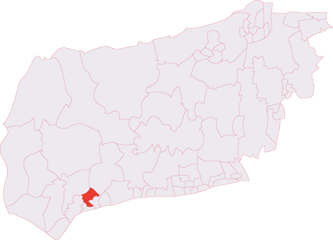
Shripney is located at Grid Ref: SU9302 (Lat: 50.812644, Lng: -0.673944)

Administrative County: West Sussex

District: Arun

Police Authority: Sussex

What 3 Words

///cage.thick.casual. Near Westergate, West Sussex

Nearby Locations

Shripney Manor Shripney

Related Wikis

Bersted (electoral division)

Bersted is an electoral division of West Sussex in the United Kingdom and returns one member to sit on West Sussex County Council. == Extent == The division...

The Brooks Local Nature Reserve

The Brooks Local Nature Reserve is a 19.1-hectare (47-acre) Local Nature Reserve on the northern outskirts of Bognor Regis in West Sussex. It is owned...

LEC Airfield

LEC Airfield (ICAO: EGKC), also known as Bognor Regis Airfield, is an airfield in Bognor Regis in the United Kingdom. It was formerly owned by the LEC...

Bersted

Bersted is a civil parish in the Arun district of West Sussex, England. It is made up of two independent villages, North Bersted and Shripney. == Governance... ==

Nearby Amenities

Located within 500m of 50.812644,-0.673944
Shripney
Is In: West Sussex, England, UK
Place: village
Population: 8900
Wikidata: Q37998020
Lat/Long: 50.8117105/-0.6702101
Pub
The Robin Hood
Addr City: Bognor Regis
Addr County: West Sussex
Addr Housename: The Robin Hood
Addr Postcode: PO22 9PA
Addr Street: Shripney Road
Brand: Chef & Brewer
Brand Wikidata: Q5089491
Fhrs Authority: Arun
Fhrs Id: 40188
Fhrs Local Authority Id: 1008998
Source Addr: FHRS Open Data
Website: https://www.chefandbrewer.com/pubs/west-sussex/robin-hood/
Lat/Long: 50.8135398/-0.6701018
Bus Stop
Shripney Lane
Bus: yes
Naptan AtcoCode: 4400LH0316
Naptan Bearing: N
Naptan CommonName: Shripney Lane
Naptan Indicator: adj Shripney Lane
Naptan Landmark: Shripney Lane
Naptan NaptanCode: wsxdapjp
Naptan Street: Shripney Road
Naptan Verified: no
Public Transport: platform
Source: naptan_import
Lat/Long: 50.8099494/-0.6694711
Bus Stop
The Robin Hood PH
Bus: yes
Naptan AtcoCode: 4400LH0317
Naptan Bearing: N
Naptan CommonName: The Robin Hood PH
Naptan Indicator: adj Marigolds Residential Park
Naptan Landmark: The Robin Hood PH
Naptan NaptanCode: wsxdapjt
Naptan Street: Shripney Road
Naptan Verified: no
Public Transport: platform
Source: naptan_import
Lat/Long: 50.8136327/-0.6707008
Bus Stop
The Robin Hood PH
Bus: yes
Naptan AtcoCode: 4400LH0318
Naptan Bearing: S
Naptan CommonName: The Robin Hood PH
Naptan Indicator: opp. Marigolds Residential Park
Naptan Landmark: The Robin Hood PH
Naptan NaptanCode: wsxdapjw
Naptan Street: Shripney Road
Naptan Verified: no
Public Transport: platform
Source: naptan_import
Lat/Long: 50.8136485/-0.6705158
Bus Stop
Shripney Lane
Bus: yes
Naptan AtcoCode: 4400LH0903
Naptan Bearing: S
Naptan CommonName: Shripney Lane
Naptan Indicator: Opp Shripney Lane
Naptan Landmark: Shripney Lane
Naptan Street: Shripney Road
Naptan Verified: no
Public Transport: platform
Source: naptan_import
Lat/Long: 50.8099184/-0.6691171
Post Box
Brand: Royal Mail
Brand Wikidata: Q638098
Brand Wikipedia: en:Royal Mail
Collection Plate: CP7D
Collection Times: Mo-Fr 09:00; Sa 07:00
Last Checked: 2022-02-16
Operator: Royal Mail
Operator Wikidata: Q638098
Post Box Type: lamp
Ref: PO22 7D
Royal Cypher: EIIR
Royal Cypher Wikidata: Q33102113
Source: survey
Lat/Long: 50.810381/-0.6699333
Generator Method: photovoltaic
Generator Output Electricity: yes
Generator Source: solar
Generator Type: solar_photovoltaic_panel
Power: generator
Lat/Long: 50.8136039/-0.6714213
Generator Method: photovoltaic
Generator Output Electricity: yes
Generator Source: solar
Generator Type: solar_photovoltaic_panel
Power: generator
Lat/Long: 50.8095833/-0.6694867
Power: pole
Lat/Long: 50.8152293/-0.6731781
Power: pole
Lat/Long: 50.8142718/-0.6742215
Power: pole
Lat/Long: 50.8134803/-0.675045
Power: pole
Lat/Long: 50.8127177/-0.6760106
Power: pole
Lat/Long: 50.8117923/-0.6777325
Power: pole
Lat/Long: 50.8109839/-0.6793472
The data included in this document is from www.openstreetmap.org. The data is made available under ODbL.

Have you been to Shripney?

Leave your review of Shripney below (or comments, questions and feedback).