Shottery
Settlement in Warwickshire Stratford-on-Avon
England
Shottery
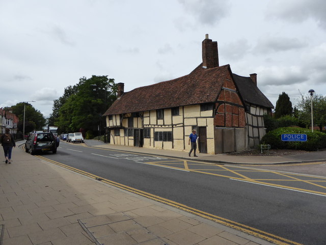
Shottery is a small village located in the county of Warwickshire, England. Situated just over a mile west of the town of Stratford-upon-Avon, Shottery is known for its picturesque countryside and historic charm. The village is primarily residential, with a population of around 1,500 people.
One of the main attractions in Shottery is Anne Hathaway's Cottage, the childhood home of William Shakespeare's wife. This 500-year-old thatched cottage is a popular tourist destination, offering visitors a glimpse into the life and times of the famous playwright. The cottage is surrounded by beautiful gardens and is maintained by the Shakespeare Birthplace Trust.
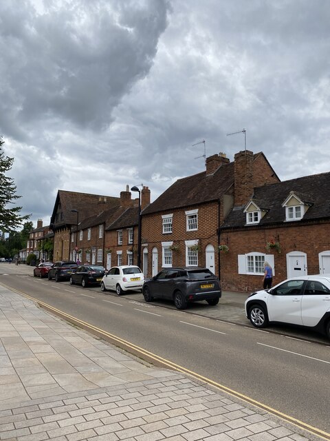
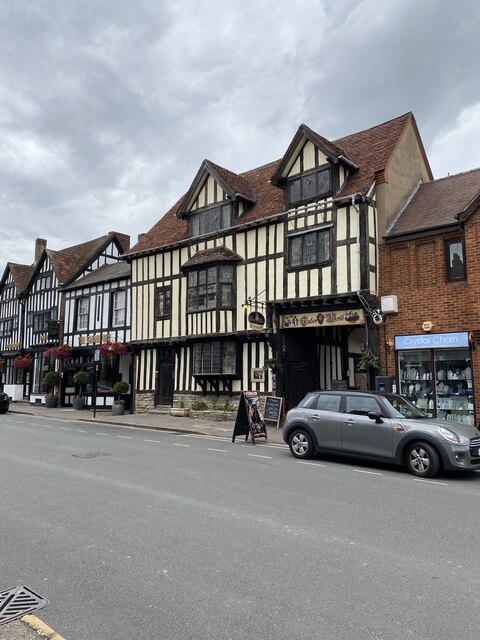
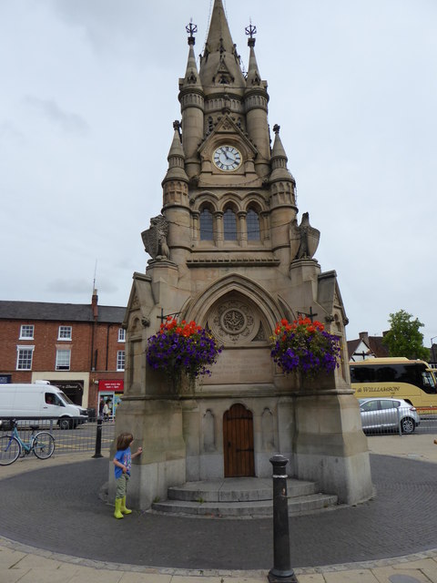
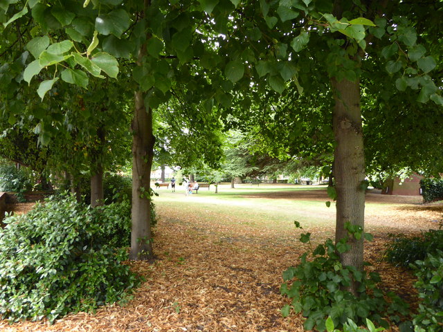
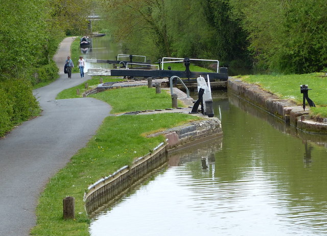
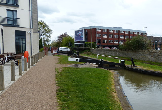
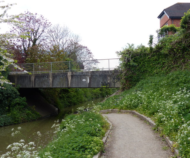
Shottery is surrounded by rolling green fields and offers residents and visitors a peaceful and idyllic setting. The village is well-connected to nearby towns and cities, making it an attractive place to live for those seeking a quieter lifestyle while still having access to amenities. The nearby town of Stratford-upon-Avon provides a range of shops, restaurants, and cultural attractions, including the Royal Shakespeare Theatre.
The village of Shottery is also home to a primary school, providing education to local children. Additionally, there are several community facilities, including a village hall and a local pub, where residents can socialize and engage in community events.
Overall, Shottery offers a rural escape with its beautiful surroundings and proximity to historical landmarks, making it an appealing destination for tourists and a desirable place to call home.
If you have any feedback on the listing, please let us know in the comments section below.
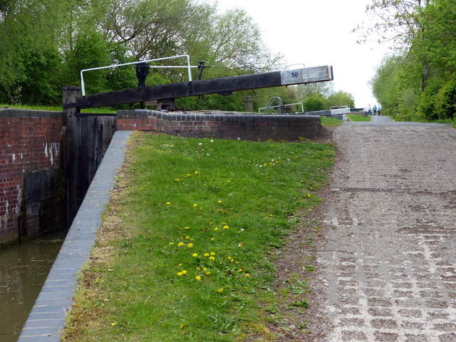
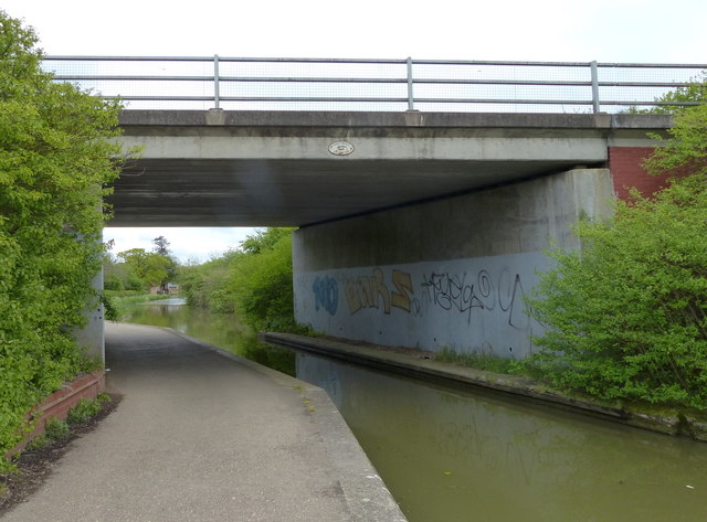
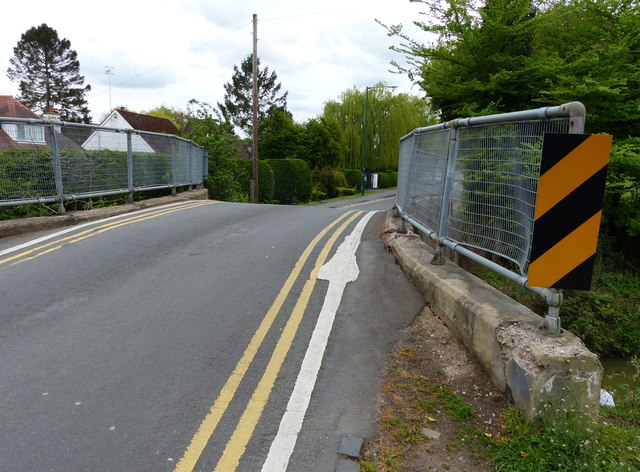
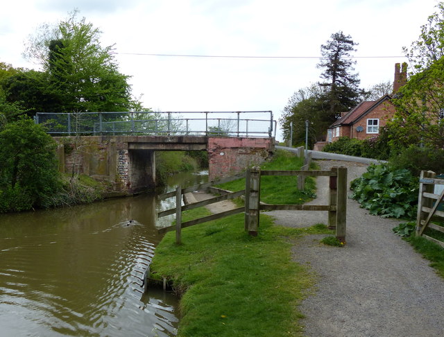
Shottery Images
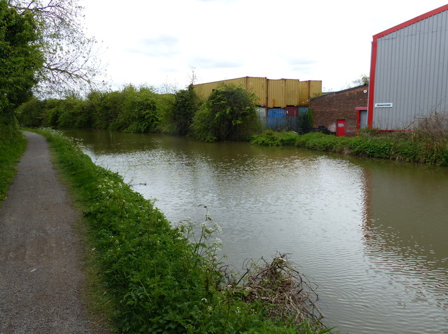
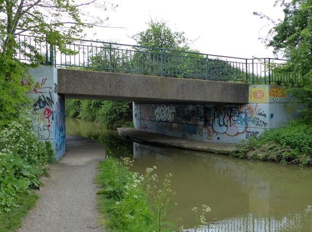
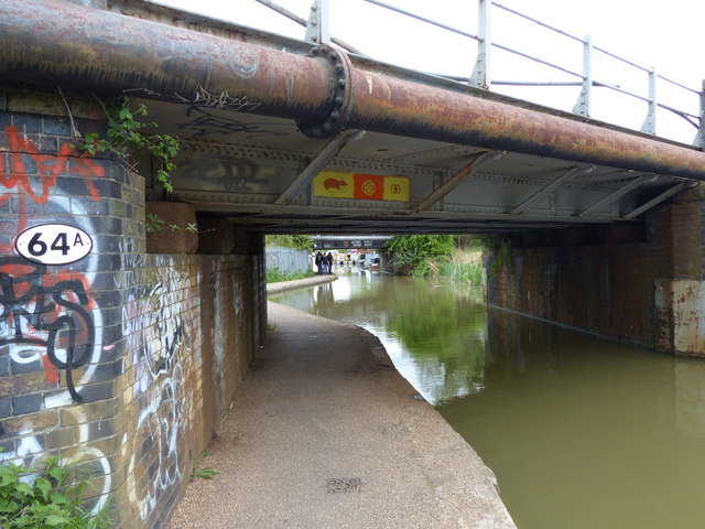
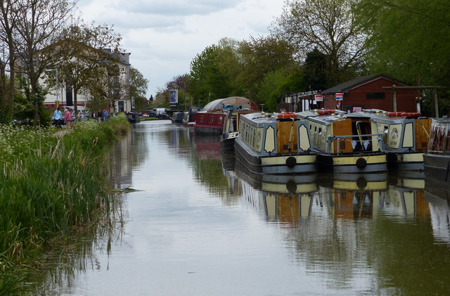
Images are sourced within 2km of 52.190834/-1.733287 or Grid Reference SP1854. Thanks to Geograph Open Source API. All images are credited.
Shottery is located at Grid Ref: SP1854 (Lat: 52.190834, Lng: -1.733287)
Administrative County: Warwickshire
District: Stratford-on-Avon
Police Authority: Warwickshire
What 3 Words
///metro.fork.pill. Near Stratford-upon-Avon, Warwickshire
Nearby Locations
Related Wikis
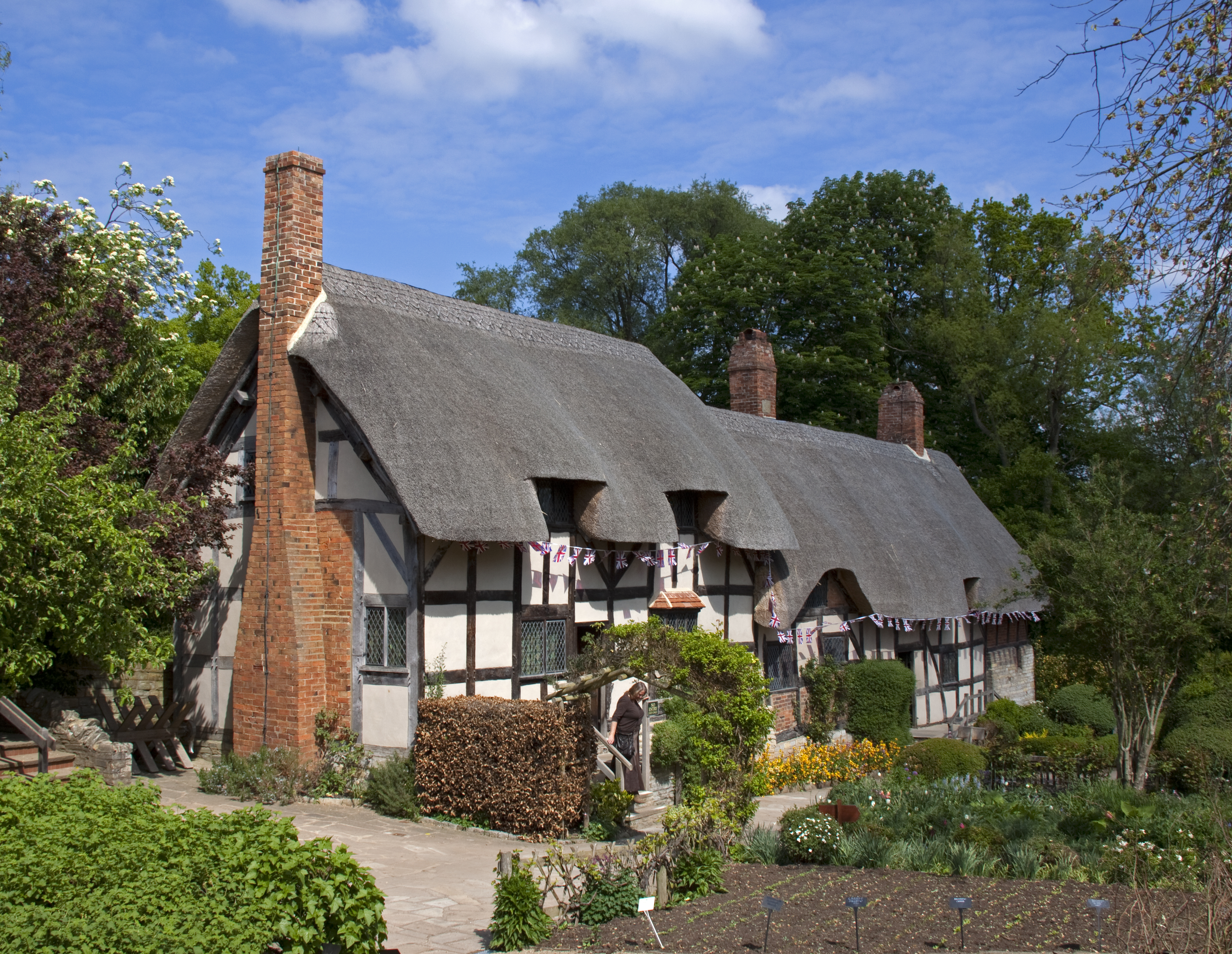
Anne Hathaway's Cottage
Anne Hathaway's Cottage is a twelve-roomed farmhouse where Anne Hathaway, the wife of William Shakespeare, lived as a child in the village of Shottery...

Stratford Girls' Grammar School
Stratford Girls' Grammar School (formerly Stratford-upon-Avon Grammar School for Girls) is a fully selective girls' grammar school in England situated...
Stratford-upon-Avon School
Stratford upon Avon School is an academy that educates girls and boys, 11- to 18-year-olds, in Stratford-upon-Avon, Warwickshire, England. Stratford School...

Stratford-upon-Avon College
Stratford-upon-Avon College is an English further education college in Stratford-upon-Avon, Warwickshire. == History == Funded by public money, the College...

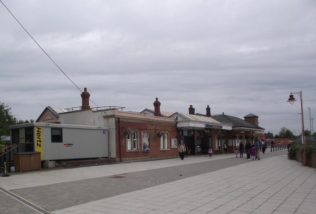
Stratford-upon-Avon railway station
Stratford-upon-Avon railway station is the southern terminus of the North Warwickshire Line and Leamington-Stratford line, serving the market town of Stratford...
Stratford-on-Avon Racecourse
Stratford-on-Avon Racecourse (often known as simply Stratford Racecourse) is a thoroughbred horse racing venue located in Stratford-on-Avon, Warwickshire...

Evesham Road Crossing Halt railway station
Evesham Road Crossing Halt railway station served the town of Stratford-upon-Avon, Warwickshire, England from 1904 to 1916 on the Gloucestershire Warwickshire...

Shottery
Shottery, formerly a small village a mile west of Stratford-upon-Avon town centre, is now part of the town, though retaining the feeling of a distinct...
Nearby Amenities
Located within 500m of 52.190834,-1.733287Have you been to Shottery?
Leave your review of Shottery below (or comments, questions and feedback).