Shottermill
Settlement in Surrey Waverley
England
Shottermill
Shottermill is a small village located in the county of Surrey, England. Situated approximately 40 miles southwest of London, Shottermill is part of the larger town of Haslemere. The village is nestled in the rolling hills of the Surrey countryside, offering picturesque views and a tranquil atmosphere.
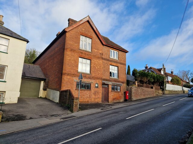
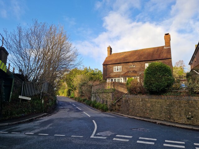
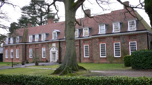
Shottermill is primarily a residential area, with a mix of traditional cottages, modern houses, and a few small apartment buildings. The village is known for its close-knit community spirit, with residents actively participating in local events and organizations. The village center features a range of amenities, including a post office, a convenience store, a pub, and a few independent shops.
Nature enthusiasts will appreciate the village's proximity to the Surrey Hills Area of Outstanding Natural Beauty, which offers ample opportunities for hiking, cycling, and enjoying the scenic countryside. The nearby National Trust property, Hindhead Commons and the Devil's Punch Bowl, is a popular destination for outdoor activities and nature walks.
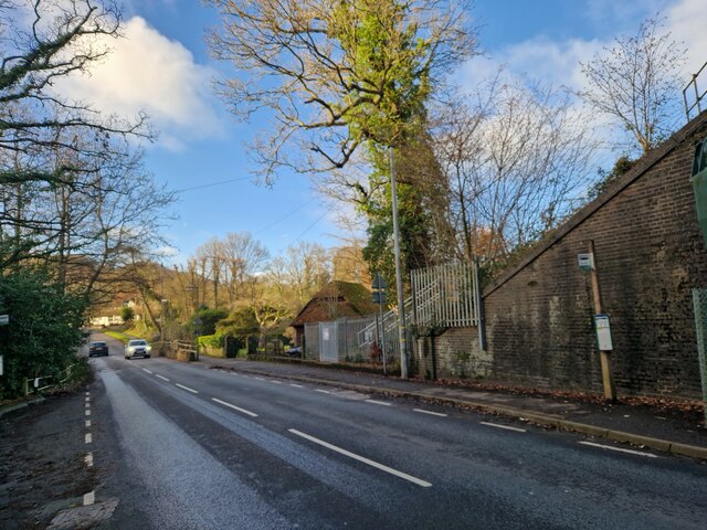
Shottermill benefits from excellent transportation links. The village is served by regular train services from Haslemere station, providing easy access to London and other nearby towns. Additionally, the A3 road runs close to the village, connecting it to the wider Surrey area and beyond.
In summary, Shottermill is a charming village in Surrey that offers a peaceful and idyllic lifestyle. With its beautiful surroundings, strong community spirit, and convenient location, it is a highly desirable place to reside for both families and individuals seeking a quieter pace of life within easy reach of urban amenities.
If you have any feedback on the listing, please let us know in the comments section below.
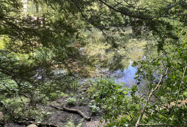
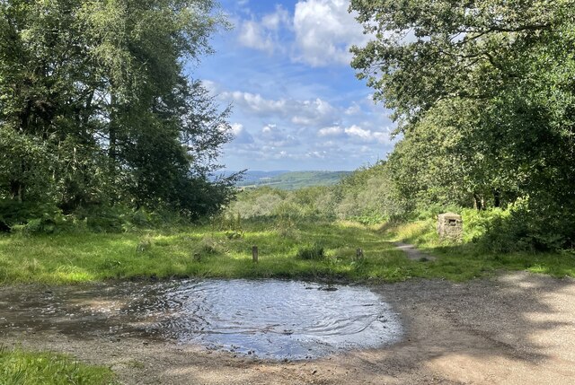
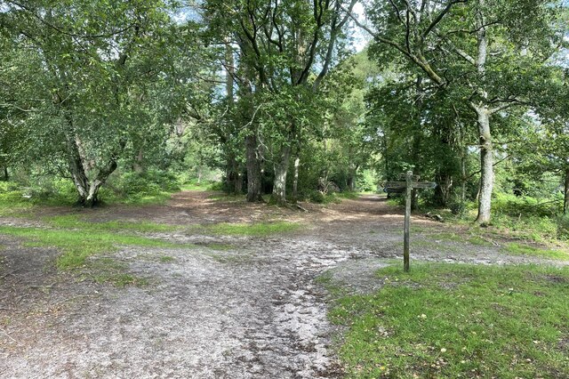
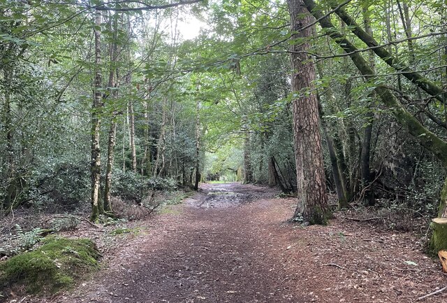
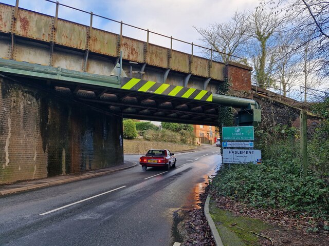
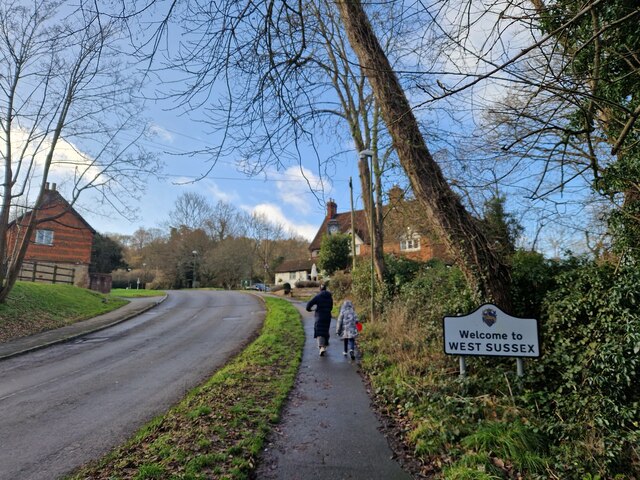
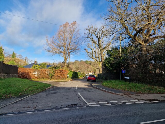
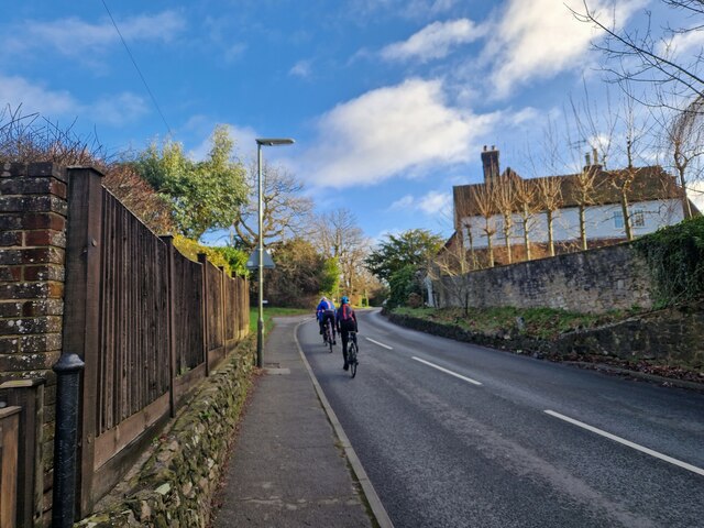
Shottermill Images
Images are sourced within 2km of 51.086118/-0.738672 or Grid Reference SU8832. Thanks to Geograph Open Source API. All images are credited.


Shottermill is located at Grid Ref: SU8832 (Lat: 51.086118, Lng: -0.738672)
Administrative County: Surrey
District: Waverley
Police Authority: Surrey
What 3 Words
///bedrooms.being.crypt. Near Haslemere, Surrey
Nearby Locations
Related Wikis

Woolmer Hill
Woolmer Hill is an area of high ground in the south-west corner of Surrey, England in the Borough of Waverley abutting Hampshire to the west and West Sussex...
Woolmer Hill School
Woolmer Hill School, formerly Woolmer Hill Technology College, is the main secondary school in the area of Haslemere, Surrey. == Funding == A non-fee paying...
Shottermill & Haslemere F.C.
Shottermill & Haslemere Football Club is a football club based in Haslemere, Surrey, England. The club are currently members of the Surrey Intermediate...

Hammer Bottom
Hammer Bottom or Hammer Vale is a hamlet in the civil parish of Bramshott and Liphook, in the East Hampshire district in the county of Hampshire, England...
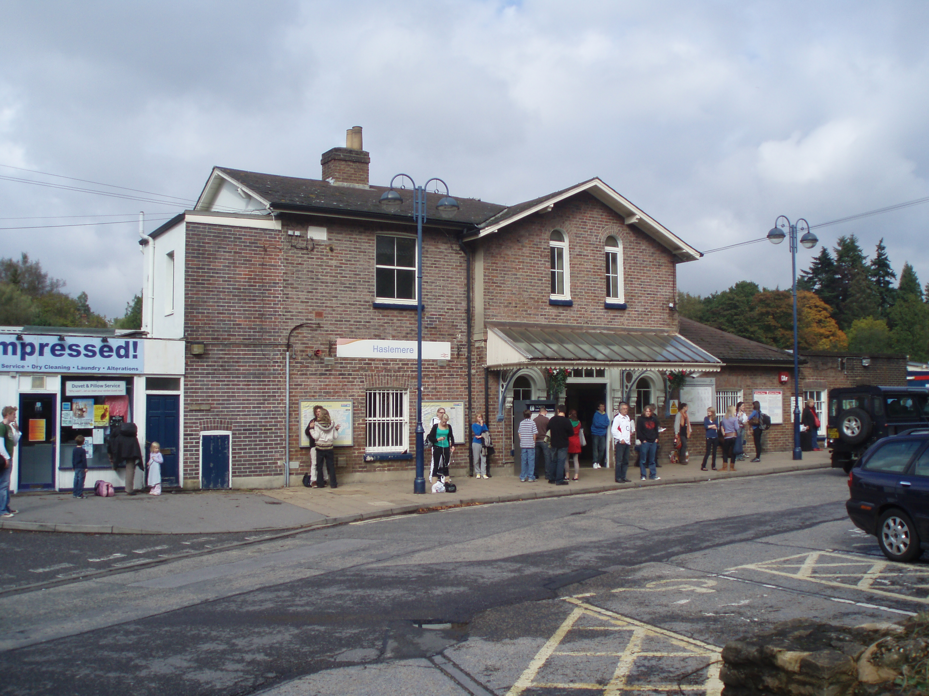
Haslemere railway station
Haslemere railway station is on the Portsmouth Direct Line, serving the town of Haslemere, Surrey, England. It is 42 miles 79 chains (69.2 km) down the...
Amesbury School
Amesbury School is a co-educational independent prep school in the Hindhead/Haslemere area of Surrey, England, educating pupils between the ages of 9 months...

Haslemere Educational Museum
Haslemere Educational Museum was founded in 1888 by the eminent surgeon Sir Jonathan Hutchinson to display his growing collection of natural history specimens...
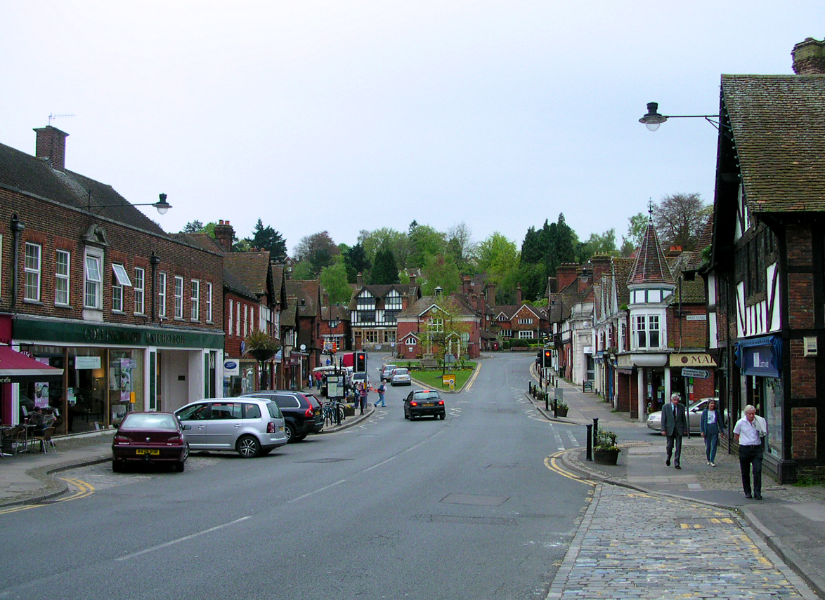
Haslemere
The town of Haslemere () and the villages of Shottermill and Grayswood are in south west Surrey, England, around 38 mi (62 km) south west of London. Together...
Nearby Amenities
Located within 500m of 51.086118,-0.738672Have you been to Shottermill?
Leave your review of Shottermill below (or comments, questions and feedback).