Shopnoller

Settlement in Somerset Somerset West and Taunton

England

Shopnoller

Meadowside Cottages, Combe Florey See also <a href="https://www.geograph.org.uk/photo/5028206">ST1531 : Combe Florey View</a>.
Meadowside Cottages, Combe Florey Credit: Stephen Craven

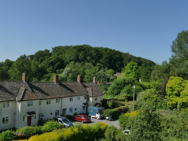
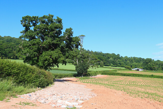
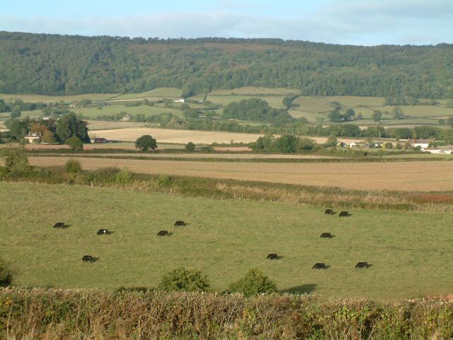
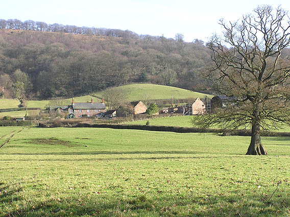
Shopnoller is a small village located in the county of Somerset, England. Situated within the beautiful Exmoor National Park, it is surrounded by rolling hills, lush green landscapes, and breathtaking views. This quaint village is known for its peaceful and idyllic setting, making it a popular destination for those seeking a tranquil retreat.

Despite its small size, Shopnoller offers a range of amenities to its residents and visitors. The village is home to a charming local pub, where locals and tourists can enjoy traditional British cuisine and a selection of beverages. The pub also serves as a social hub, hosting community events and gatherings throughout the year.

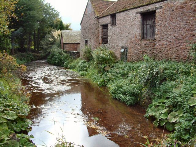
Nature enthusiasts are drawn to Shopnoller for its stunning natural beauty. The village is located near numerous walking and hiking trails, allowing visitors to explore the surrounding countryside and witness the diverse wildlife that inhabits the area. Additionally, the nearby River Exe provides opportunities for fishing and boating.

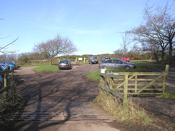
The village is also a gateway to Exmoor National Park, a designated Dark Sky Reserve. This makes Shopnoller an ideal location for stargazing, as the absence of light pollution allows for clear views of the night sky.

While small in population, Shopnoller is big on community spirit. The village hosts various events and festivals throughout the year, bringing residents and visitors together to celebrate local traditions and promote a sense of togetherness.

In summary, Shopnoller offers a peaceful and picturesque experience for those looking to escape the hustle and bustle of city life. With its natural beauty, friendly community, and range of amenities, it is a hidden gem within the Somerset countryside.

If you have any feedback on the listing, please let us know in the comments section below.
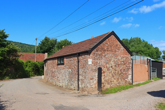
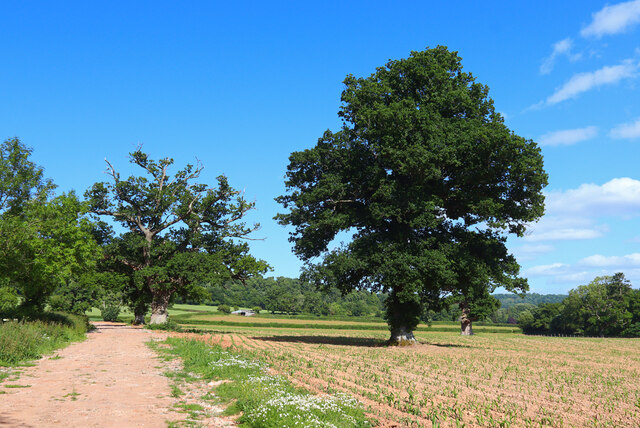
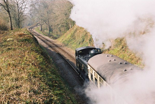
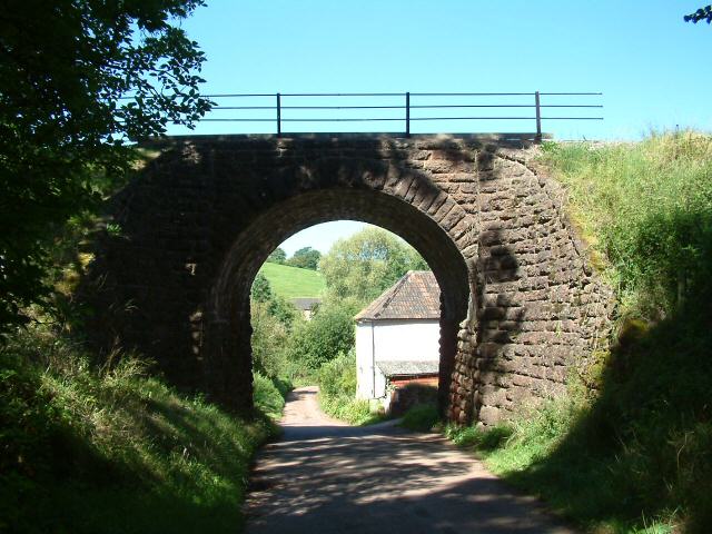
Shopnoller Images

Images are sourced within 2km of 51.087539/-3.19448 or Grid Reference ST1632. Thanks to Geograph Open Source API. All images are credited.

Meadowside Cottages, Combe Florey See also <a href="https://www.geograph.org.uk/photo/5028206">ST1531 : Combe Florey View</a>.
Meadowside Cottages, Combe Florey
Somerset County Council fingerpost - on the A358 Combe Florey SCC fingerpost condition in January 2022 prior to refurbishment, which is due to take place in the Summer of 2022. The post is on the A358 at the junction with the road leading into Combe Florey village.
Somerset County Council fingerpost - on the A358 Combe Florey
SCC fingerpost condition in January 2022 prior to refurbishment, which is due to take place in the Summer of 2022. The post is on the A358 at the junction with the road leading into Combe Florey village.
Somerset County Council fingerpost - A358 Combe Florey Somerset County Council fingerpost - on the A358 at the Combe Florey junction which was refurbished in July 2022 as part of the Somerset County Council fingerpost restoration project. Repainting was undertaken by 2 volunteers working on behalf of Combe Florey parish council which provided the paints and materials.
Somerset County Council fingerpost - A358 Combe Florey
Somerset County Council fingerpost - on the A358 at the Combe Florey junction which was refurbished in July 2022 as part of the Somerset County Council fingerpost restoration project. Repainting was undertaken by 2 volunteers working on behalf of Combe Florey parish council which provided the paints and materials.
Near Crowcombe Field and trees near Crowcombe.
Near Crowcombe
Field and trees near Crowcombe.
Kennel Lane Entrance to the Stockham Lane kennels.
Kennel Lane
Entrance to the Stockham Lane kennels.
Footpath near Crowcombe Trees by the footpath off New Road.
Footpath near Crowcombe
Trees by the footpath off New Road.
West Somerset Railway, Churchlands Bridge, Combe Florey The steam-hauled train is heading up the grade to Crowcombe Heathfield
West Somerset Railway, Churchlands Bridge, Combe Florey
The steam-hauled train is heading up the grade to Crowcombe Heathfield
Nethercott Bridge The bridge carries the West Somerset Railway high above the quiet hamlet of Nethercott...
Nethercott Bridge
The bridge carries the West Somerset Railway high above the quiet hamlet of Nethercott...
Combe Florey: the West Somerset Railway near Nethercott Locomotive 9351 on a demonstration freight train from Bishop’s Lydeard to Williton. Note – a Photographer’s Lineside Pass has to be obtained from the WSR office at Minehead for access to railway property other than the trains and stations
Combe Florey: the West Somerset Railway near Nethercott
Locomotive 9351 on a demonstration freight train from Bishop’s Lydeard to Williton. Note – a Photographer’s Lineside Pass has to be obtained from the WSR office at Minehead for access to railway property other than the trains and stations
Railway Cutting near Trebles Holford
Combe Florey: West Somerset Railway at Nethercott 5553 heads a demonstration freight train on this heritage line. Note: a Photographer’s Lineside Pass has to be obtained from the railway’s office at Minehead for shots such as this on railway property
Combe Florey: West Somerset Railway at Nethercott
5553 heads a demonstration freight train on this heritage line. Note: a Photographer’s Lineside Pass has to be obtained from the railway’s office at Minehead for shots such as this on railway property
Farm at Nethercott Nearby was a notice about planning permission to convert the old stone barn into three dwellings...
Farm at Nethercott
Nearby was a notice about planning permission to convert the old stone barn into three dwellings...
Lydeard Hill car park, Quantock Hills
Tilbury Farm, Bagborough
The Rising Sun, Bagborough In small words below the "Rising Sun", it says Established 1573!
The Rising Sun, Bagborough
In small words below the "Rising Sun", it says Established 1573!
Bagborough House from the church path
Smokeham Farm
Smokeham Farm
Show me another place!

Shopnoller is located at Grid Ref: ST1632 (Lat: 51.087539, Lng: -3.19448)

Administrative County: Somerset

District: Somerset West and Taunton

Police Authority: Avon and Somerset

What 3 Words

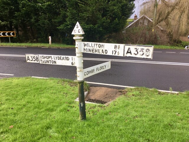
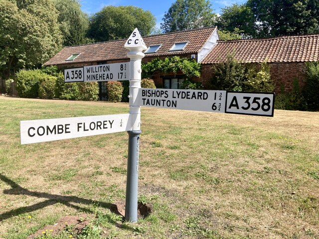
///cocktail.cloth.hobbyists. Near Bishops Lydeard, Somerset

Nearby Locations

Alder Copse Shopnoller

Related Wikis

Cockercombe tuff

Cockercombe Tuff is a greenish-grey, hard pyroclastic rock, formed by the compression of volcanic ash containing high quantities of chlorite, which gives...

Cockercombe

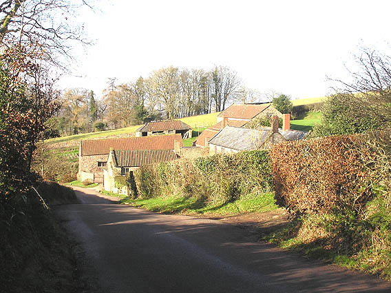
Cockercombe is a hamlet within the civil parish of West Bagborough in the Somerset West and Taunton district of Somerset, England, approximately 8.3 miles...

West Bagborough

West Bagborough is a village and civil parish in Somerset, England, about 5 miles (8.0 km) north of Taunton. In 2011, the village had a population of 358...

West Bagborough Hoard

The West Bagborough Hoard is a hoard of 670 Roman coins and 72 pieces of hacksilver found in October 2001 by metal detectorist James Hawkesworth near...

Church of St Pancras, West Bagborough

The Anglican Church of St Pancras in West Bagborough, Somerset, England was built in the 15th century. It is a Grade II* listed building. == History... ==
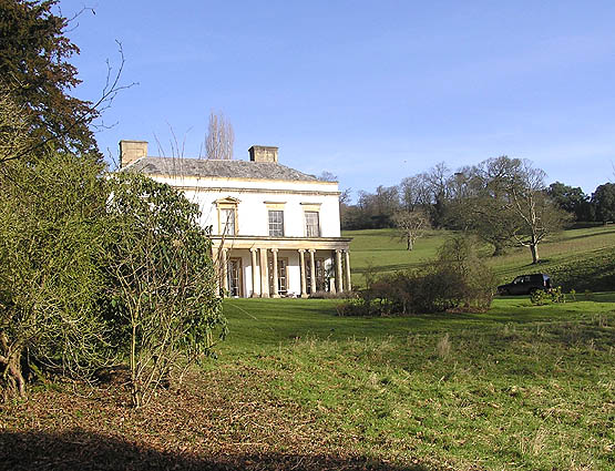
Bagborough House

Bagborough House in West Bagborough, Somerset, England was built circa 1730. It was designated a Grade II* listed building on 4 May 1984.Bagborough House...

Combe Florey

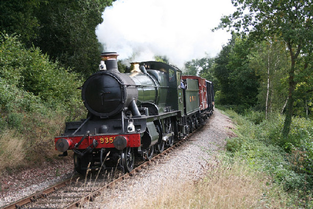
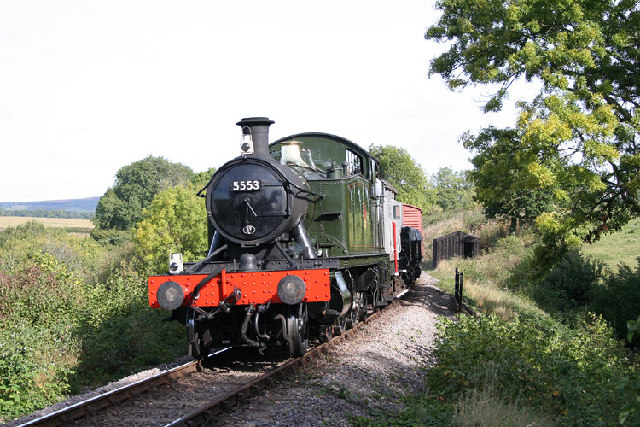
Combe Florey is a village and civil parish in Somerset, England, situated 6 miles (9.7 km) northwest of Taunton, on the West Somerset Railway. The village...

Combe Florey House

Combe Florey House in Combe Florey, Somerset, England is a country house dating from the early 18th century. It replaced an Elizabethan manor house which...

Nearby Amenities

Located within 500m of 51.087539,-3.19448
Brand: National Grid
Brand Wikidata: Q1465461
Material: wood
Operator: National Grid Electricity Distribution Plc
Operator Old: Western Power Distribution
Operator Wikidata: Q7988183
Owner: National Grid Electricity Distribution (South West) Plc
Owner Wikidata: Q114397866
Power: pole
Lat/Long: 51.0912408/-3.1908042
Brand: National Grid
Brand Wikidata: Q1465461
Material: wood
Operator: National Grid Electricity Distribution Plc
Operator Old: Western Power Distribution
Operator Wikidata: Q7988183
Owner: National Grid Electricity Distribution (South West) Plc
Owner Wikidata: Q114397866
Power: pole
Lat/Long: 51.0906009/-3.1942243
Branch Type: split
Brand: National Grid
Brand Wikidata: Q1465461
Guyed: yes
Material: wood
Operator: National Grid Electricity Distribution Plc
Operator Old: Western Power Distribution
Operator Wikidata: Q7988183
Owner: National Grid Electricity Distribution (South West) Plc
Owner Wikidata: Q114397866
Pole: branch
Power: pole
Lat/Long: 51.0901993/-3.1962198
Power: pole
Lat/Long: 51.0915756/-3.1921804
Brand: National Grid
Brand Wikidata: Q1465461
Material: wood
Operator: National Grid Electricity Distribution Plc
Operator Old: Western Power Distribution
Operator Wikidata: Q7988183
Owner: National Grid Electricity Distribution (South West) Plc
Owner Wikidata: Q114397866
Power: pole
Lat/Long: 51.0909359/-3.1925209
Brand: National Grid
Brand Wikidata: Q1465461
Guyed: yes
Material: wood
Operator: National Grid Electricity Distribution Plc
Operator Old: Western Power Distribution
Operator Wikidata: Q7988183
Owner: National Grid Electricity Distribution (South West) Plc
Owner Wikidata: Q114397866
Power: pole
Lat/Long: 51.0897613/-3.198564
Brand: National Grid
Brand Wikidata: Q1465461
Material: wood
Operator: National Grid Electricity Distribution Plc
Operator Old: Western Power Distribution
Operator Wikidata: Q7988183
Owner: National Grid Electricity Distribution (South West) Plc
Owner Wikidata: Q114397866
Power: pole
Lat/Long: 51.089394/-3.1958496
Brand: National Grid
Brand Wikidata: Q1465461
Material: wood
Operator: National Grid Electricity Distribution Plc
Operator Old: Western Power Distribution
Operator Wikidata: Q7988183
Owner: National Grid Electricity Distribution (South West) Plc
Owner Wikidata: Q114397866
Power: pole
Lat/Long: 51.088742/-3.195737
Brand: National Grid
Brand Wikidata: Q1465461
Material: wood
Operator: National Grid Electricity Distribution Plc
Operator Old: Western Power Distribution
Operator Wikidata: Q7988183
Owner: National Grid Electricity Distribution (South West) Plc
Owner Wikidata: Q114397866
Power: pole
Lat/Long: 51.0890999/-3.1995355
Brand: National Grid
Brand Wikidata: Q1465461
Material: wood
Operator: National Grid Electricity Distribution Plc
Operator Old: Western Power Distribution
Operator Wikidata: Q7988183
Owner: National Grid Electricity Distribution (South West) Plc
Owner Wikidata: Q114397866
Power: pole
Lat/Long: 51.0883603/-3.2006701
Give Way
Direction: backward
Lat/Long: 51.0871208/-3.1961109
The data included in this document is from www.openstreetmap.org. The data is made available under ODbL.

Have you been to Shopnoller?

Leave your review of Shopnoller below (or comments, questions and feedback).