Shop Corner
Settlement in Suffolk Babergh
England
Shop Corner
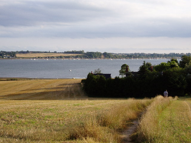
Shop Corner is a quaint village located in the picturesque county of Suffolk, England. Situated on the outskirts of the bustling town of Ipswich, this small residential area offers a peaceful and idyllic setting for its residents.
The village is characterized by its charming row of shops, which give the area its name. The shops, mostly independent businesses, line the main street and provide a range of goods and services to the local community. From the friendly neighborhood bakery, offering freshly baked bread and pastries, to the local convenience store that caters to daily essentials, Shop Corner ensures that residents have easy access to their daily needs.
In addition to the shops, the village boasts several amenities that enhance the quality of life for its residents. Nestled amidst lush greenery, there is a well-maintained park that serves as a popular spot for families and individuals alike. The park offers a playground for children, a serene walking trail, and picnic areas for leisurely afternoons.
Shop Corner is also known for its sense of community spirit and engagement. Regular events and gatherings are organized by the residents, fostering a close-knit neighborhood. From summer fairs to charity fundraisers, there is always something happening in the village that brings everyone together.
With its peaceful atmosphere, friendly residents, and convenient amenities, Shop Corner is an ideal place to escape the hustle and bustle of city life without sacrificing modern comforts. It offers a balanced blend of a close community and easy access to essential services, making it a desirable location for those seeking a tranquil and fulfilling lifestyle.
If you have any feedback on the listing, please let us know in the comments section below.
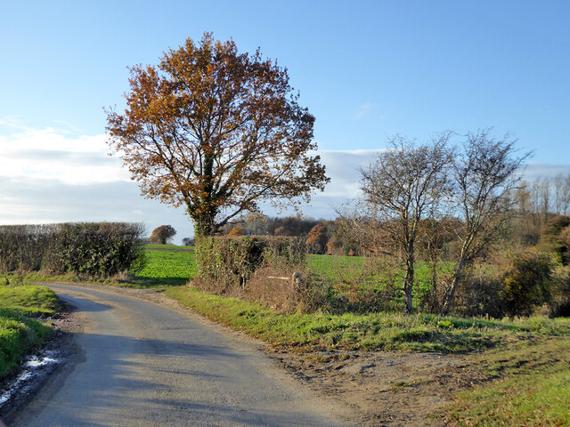
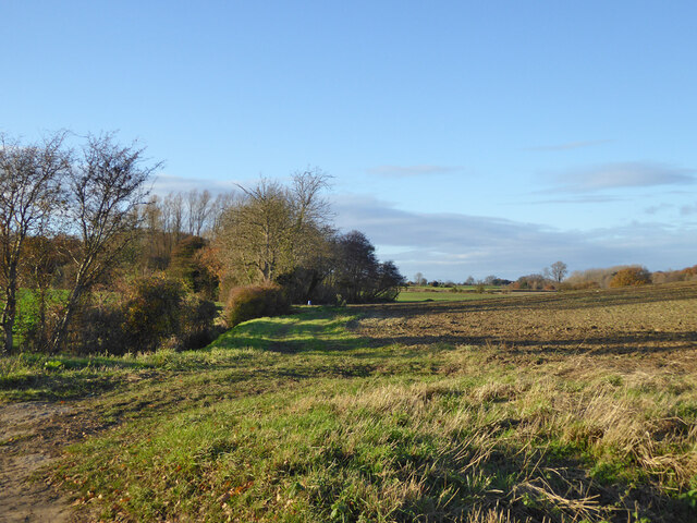
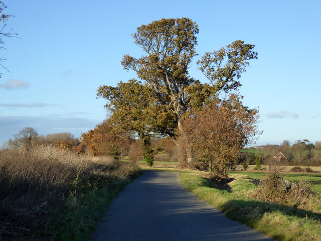
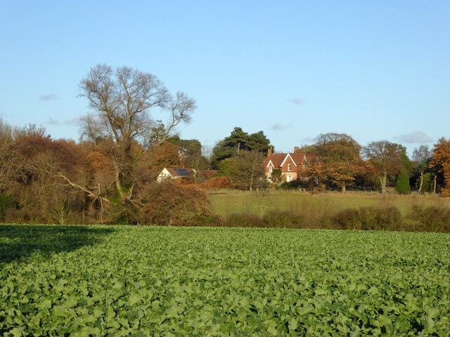
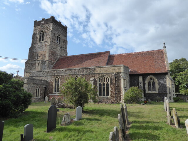
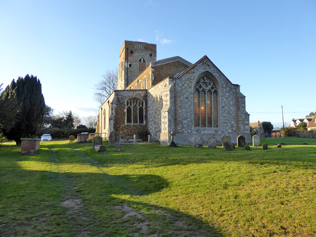
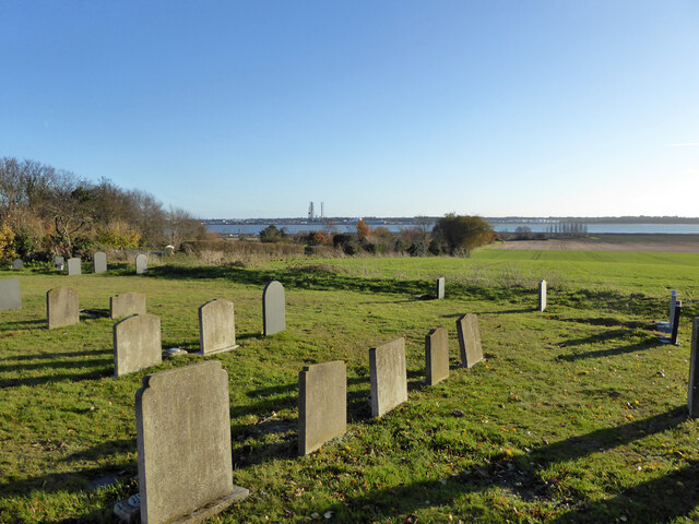
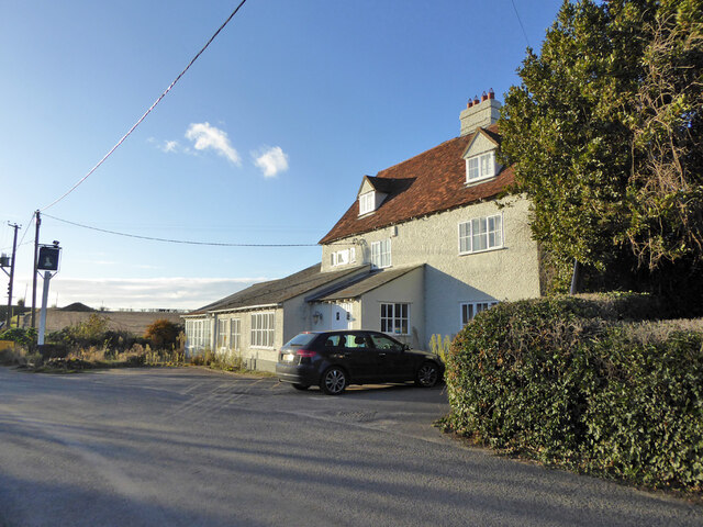
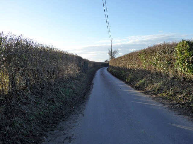
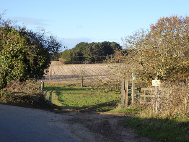
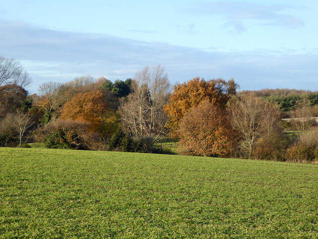
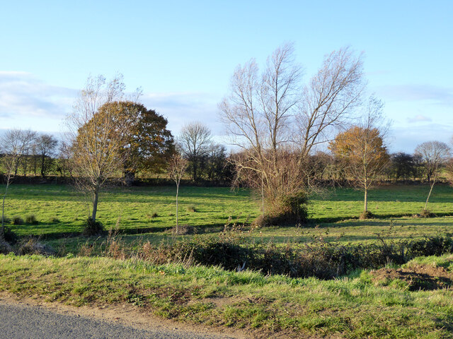
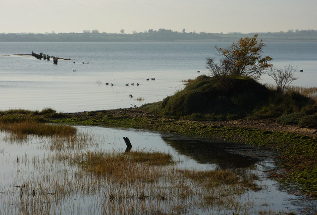
Shop Corner Images
Images are sourced within 2km of 51.964152/1.21617 or Grid Reference TM2134. Thanks to Geograph Open Source API. All images are credited.


Shop Corner is located at Grid Ref: TM2134 (Lat: 51.964152, Lng: 1.21617)
Administrative County: Suffolk
District: Babergh
Police Authority: Suffolk
What 3 Words
///solder.durations.arrive. Near Shotley Gate, Suffolk
Nearby Locations
Related Wikis

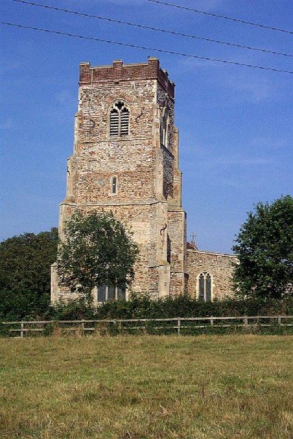
Erwarton
Erwarton or Arwarton is a small village and civil parish in the Babergh district of Suffolk, England. The parish includes the hamlet of Shop Corner. Located...

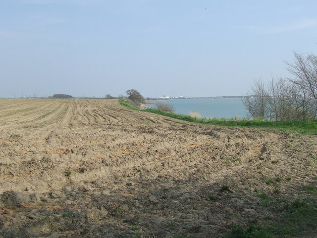
River Stour, Suffolk
The River Stour (, pronounced rhyming with either "tour" or "sour") is a major river in East Anglia, England. It is 47 miles (76 km) long and forms most...

Harkstead
Harkstead is a village and civil parish in the county of Suffolk, England. The village is located on the northern bank of the River Stour estuary at Holbrook...

Shotley
Shotley is a village and civil parish 8 miles (13 km) south-east of Ipswich in the English county of Suffolk. It is in the Babergh district and gives its...

Chelmondiston
Chelmondiston is a small village and civil parish in Suffolk, England located on the Shotley Peninsula, five miles south-east of Ipswich. The hamlet of...

Harwich refinery
Harwich refinery is a 500,000 tonnes per year refining, processing, blending and storage facility near the port of Harwich in the UK. The refinery was...
Copperas Wood
Copperas Wood is a 13.8-hectare (34-acre) nature reserve between Ramsey and Wrabness in Essex. It is owned and managed by the Essex Wildlife Trust, and...
Stour Estuary
Stour Estuary is a 2,523 hectare biological and geological Site of Special Scientific Interest which stretches from Manningtree to Harwich in Essex and...
Nearby Amenities
Located within 500m of 51.964152,1.21617Have you been to Shop Corner?
Leave your review of Shop Corner below (or comments, questions and feedback).