Blaisdon

Settlement in Gloucestershire Forest of Dean

England

Blaisdon

The Longhope Valley Looking west across to Hope Wood, an outlier of the Forest of Dean.
The Longhope Valley Credit: Jonathan Billinger

Blaisdon is a small village located in the county of Gloucestershire, England. Situated approximately 15 miles west of Gloucester, the village lies within the district of Forest of Dean. Blaisdon is a rural community with a population of around 400 residents.

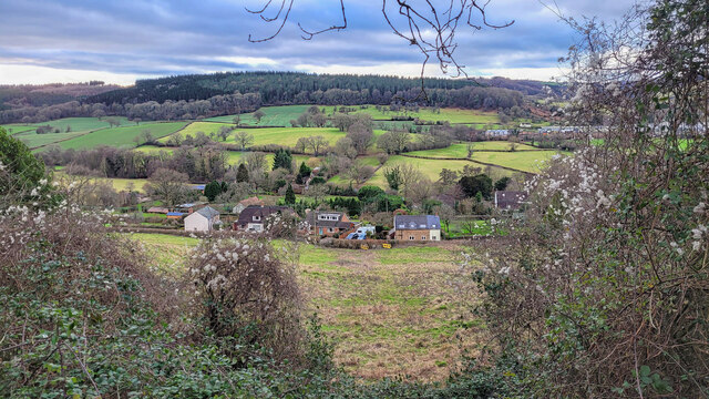
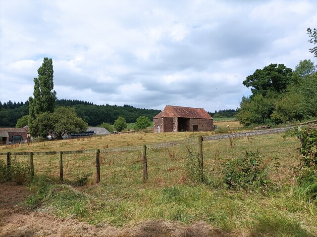
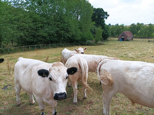
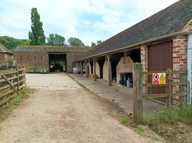
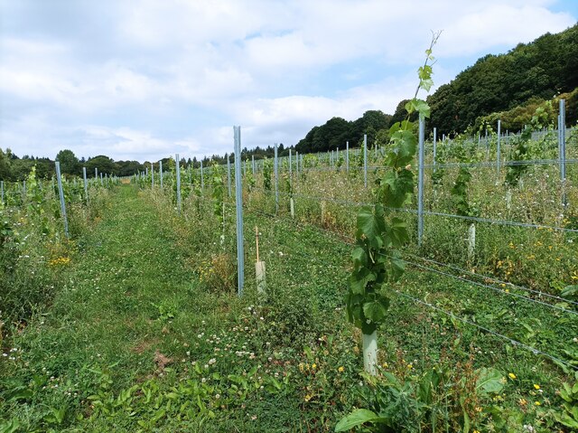
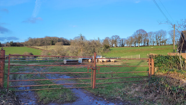
The village is surrounded by picturesque countryside, characterized by rolling hills, lush green fields, and dense woodlands. The area is known for its natural beauty, attracting visitors who enjoy outdoor activities such as hiking, cycling, and wildlife spotting. Blaisdon is also home to a variety of bird species, with its woodlands providing an ideal habitat for these creatures.

The village itself features a quaint and charming atmosphere, with traditional stone-built houses and a close-knit community feel. Blaisdon has a small but active village hall, which serves as a hub for local events and gatherings. Additionally, the village is home to a historic church, St. Michael and All Angels, which dates back to the 12th century. The church is known for its beautiful stained glass windows and is a popular site for weddings and religious ceremonies.

Despite its rural setting, Blaisdon benefits from its proximity to nearby towns and cities. Residents have access to essential amenities such as schools, shops, and healthcare facilities, which can be found in the neighboring villages. The village is well-connected by road, with easy access to major routes such as the A48 and M50, allowing for convenient travel to larger urban areas in the region.

In summary, Blaisdon offers a peaceful and idyllic lifestyle in the heart of the Gloucestershire countryside, with its natural beauty, close community, and convenient location making it an attractive place to live or visit.

If you have any feedback on the listing, please let us know in the comments section below.

Blaisdon Images

Images are sourced within 2km of 51.85112/-2.433703 or Grid Reference SO7017. Thanks to Geograph Open Source API. All images are credited.

The Longhope Valley Looking west across to Hope Wood, an outlier of the Forest of Dean.
The Longhope Valley
Looking west across to Hope Wood, an outlier of the Forest of Dean.
Colony of Snowdrops 2022 is shaping up to be a fine year for Galanthophiles like me!
Colony of Snowdrops
2022 is shaping up to be a fine year for Galanthophiles like me!
Barn in Home Farm, Flaxley This barn, possibly a former tithe barn, is now unused, although the field surrounding it is now used for cattle.
Barn in Home Farm, Flaxley
This barn, possibly a former tithe barn, is now unused, although the field surrounding it is now used for cattle.
White Park cattle The White Park cattle of Home Farm, Flaxley, with a possible former tithe barn in the background.
White Park cattle
The White Park cattle of Home Farm, Flaxley, with a possible former tithe barn in the background.
Yard in Home Farm, Flaxley Yard and barns used for storage.
Yard in Home Farm, Flaxley
Yard and barns used for storage.
Vineyard in Home Farm, Flaxley The most southerly of 3 vineyards owned by Kingsthorne on Home Farm. This vineyard contains Chardonnay only.
Vineyard in Home Farm, Flaxley
The most southerly of 3 vineyards owned by Kingsthorne on Home Farm. This vineyard contains Chardonnay only.
Ewes grazing View across The Stepps, from Old Hill.
Ewes grazing
View across The Stepps, from Old Hill.
Post-sunset sky Looking west from Longhope across to the wooded crest of Pool Hill at 17.53 on 10th February 2023.
Post-sunset sky
Looking west from Longhope across to the wooded crest of Pool Hill at 17.53 on 10th February 2023.
War memorial, Longhope The design of this imperial-styled monument may have been inspired by Landseer's lions in Trafalgar Square?
War memorial, Longhope
The design of this imperial-styled monument may have been inspired by Landseer's lions in Trafalgar Square?
Services in Little London On the A4136. Images shows telephone box, post box, water hydrant, telegraph pole and information about neighbourhood watch, all located opposite the bus stop on the other (northern) side of the road here.
Services in Little London
On the A4136. Images shows telephone box, post box, water hydrant, telegraph pole and information about neighbourhood watch, all located opposite the bus stop on the other (northern) side of the road here.
Looking back towards junction Taken from the rear of the no 33 bus travelling towards Gloucester on the A4136. Image looks back towards the road junction (signed) with Blaisdon Lane (to left) and Hinders Lane (to right). Black notice publicises the Red Hart public house in Blaisdon.
Looking back towards junction
Taken from the rear of the no 33 bus travelling towards Gloucester on the A4136. Image looks back towards the road junction (signed) with Blaisdon Lane (to left) and Hinders Lane (to right). Black notice publicises the Red Hart public house in Blaisdon.
Entrance to Monk Hill Farm
Buildings at Spout Farm. Blaisdon
Gated track off Blaisdon Lane
Grass field and part of Ley Park
View towards Blaisdon Hill The edge of the Forest of Dean.
View towards Blaisdon Hill
The edge of the Forest of Dean.
Houses in Blaisdon
Houses in Blaisdon
Spout Farm, Blaisdon
Show me another place!

Blaisdon is located at Grid Ref: SO7017 (Lat: 51.85112, Lng: -2.433703)

Administrative County: Gloucestershire

District: Forest of Dean

Police Authority: Gloucestershire

What 3 Words

///pouch.charities.marathon. Near Longhope, Gloucestershire

Nearby Locations

Blaisdon

Related Wikis

Blaisdon

Blaisdon is a village and civil parish in the Forest of Dean of Gloucestershire, England, about ten miles west of Gloucester. Its population in 2005 was...

Blaisdon Hall

Blaisdon Hall (grid reference SO698170) is a Grade II* listed building at Blaisdon. It includes a 0.07-hectare (0.17-acre) biological Site of Special Scientific...

Wood Green Quarry & Railway Cutting

Wood Green Quarry & Railway Cutting (grid reference SO694166) is a 0.3-hectare (0.74-acre) geological Site of Special Scientific Interest in Gloucestershire...

Blaisdon Halt railway station

Blaisdon railway station is a disused stone built railway station that served the village of Blaisdon in Gloucestershire and was the first stop on the...

The Mount, Nottswood Hill

The Mount, Nottswood Hill, is a grade II listed house near Blaisdon in Gloucestershire. The house is thought to have been rebuilt in the later nineteenth...

Longhope Hill

Longhope Hill (grid reference SO693185) is a 0.2-hectare (0.49-acre) geological Site of Special Scientific Interest in Gloucestershire, notified in 1989...

Flaxley Abbey

Flaxley Abbey is a former Cistercian monastery in England, now a Grade I listed manor and private residence, near the village of Flaxley in the Forest...

Flaxley

Flaxley is a small settlement and former civil parish, now in the parish of Blaisdon, in the Forest of Dean, Gloucestershire, England. It is located in...

Nearby Amenities

Located within 500m of 51.85112,-2.433703
Blaisdon
Is In: Gloucestershire, England, UK
Place: village
Lat/Long: 51.8510791/-2.4331861
Bus Stop
The Red Hart Inn
Naptan AtcoCode: 1600GL477
Naptan Bearing: S
Naptan CommonName: The Red Hart Inn
Naptan Indicator: Opp
Naptan NaptanCode: gloamjgp
Naptan Street: Main Street
Naptan Verified: no
Source: naptan_import
Lat/Long: 51.8490147/-2.4334394
Bus Stop
The Red Hart Inn
Naptan AtcoCode: 1600GL478
Naptan Bearing: N
Naptan CommonName: The Red Hart Inn
Naptan NaptanCode: gloamjgj
Naptan Street: Main Street
Naptan Verified: no
Source: naptan_import
Lat/Long: 51.8490749/-2.4335432
Bus Stop
War Memorial
Naptan AtcoCode: 1600GL480
Naptan Bearing: SE
Naptan CommonName: War Memorial
Naptan NaptanCode: gloamjga
Naptan Street: Main Street
Naptan Verified: no
Source: naptan_import
Lat/Long: 51.8509673/-2.4335478
Historic: memorial
Memorial: war_memorial
Lat/Long: 51.8510543/-2.4338364
Telephone
Booth: K6
Covered: booth
Phone: +44 1452 830334
Lat/Long: 51.8513809/-2.433114
Post Box
Post Box Type: lamp
Lat/Long: 51.8490029/-2.4334607
The data included in this document is from www.openstreetmap.org. The data is made available under ODbL.

Have you been to Blaisdon?

Leave your review of Blaisdon below (or comments, questions and feedback).