Blairskaith
Settlement in Stirlingshire
Scotland
Blairskaith
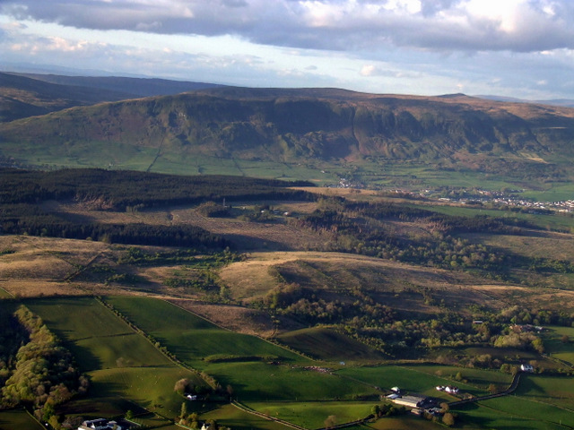
Blairskaith is a small village situated in the county of Stirlingshire, Scotland. Nestled amidst picturesque landscapes, this charming settlement is known for its tranquility and natural beauty. Blairskaith is located approximately 10 miles northwest of Stirling and is easily accessible by road.
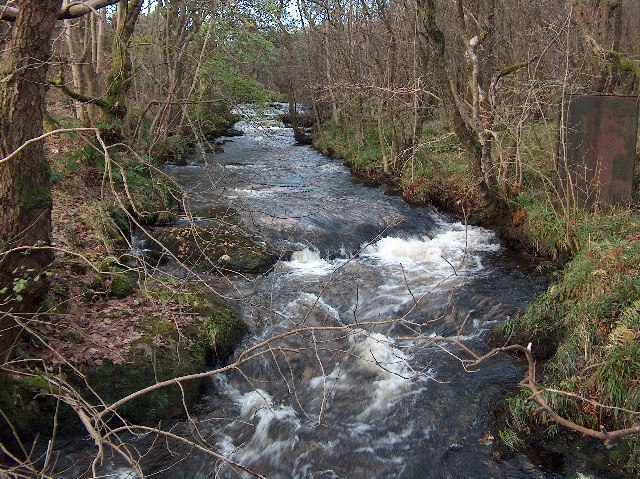
The village is characterized by its traditional stone-built houses, which exude a rustic charm. Surrounded by rolling hills and lush greenery, Blairskaith offers stunning views of the Scottish countryside. The area is renowned for its walking trails, providing residents and visitors with ample opportunities to explore the great outdoors.
Blairskaith is home to a close-knit community that takes pride in preserving its rich heritage. The village has a small primary school, serving the educational needs of local children. While the village itself does not have many amenities, there are nearby towns and villages that offer a wider range of facilities, including shops, restaurants, and recreational activities.
Historically, Blairskaith was primarily an agricultural community, with farming playing a significant role in its economy. However, in recent years, there has been a diversification of industries, with some residents commuting to nearby towns and cities for work.
For those seeking a peaceful and idyllic setting away from the hustle and bustle of urban life, Blairskaith offers a serene retreat amidst Scotland's stunning countryside. With its natural beauty and close-knit community, this village continues to be a hidden gem in Stirlingshire.
If you have any feedback on the listing, please let us know in the comments section below.
Blairskaith Images
Images are sourced within 2km of 55.947286/-4.2594369 or Grid Reference NS5975. Thanks to Geograph Open Source API. All images are credited.


![Lennox Forest [2] Stacked lumber.](https://s2.geograph.org.uk/geophotos/04/56/95/4569542_266ada37.jpg)


Blairskaith is located at Grid Ref: NS5975 (Lat: 55.947286, Lng: -4.2594369)
Unitary Authority: East Dunbartonshire
Police Authority: Greater Glasgow
What 3 Words
///laws.spoke.wash. Near Torrance, East Dunbartonshire
Nearby Locations
Related Wikis

Barnellan
Barnellan is a small hamlet in East Dunbartonshire, Scotland, situated in the civil parish of Baldernock. It consists of a few houses and a farm, the latter...

Baldernock
Baldernock (; Gaelic: Baile D' Earnaig) meaning 'settlement of St Earnaig' (Iain Mac an Táilleir, Sabhall Mór Ostaig) is a small parish in East Dunbartonshire...

Bardowie
Bardowie is a hamlet in East Dunbartonshire located within the civil parish of Baldernock. It is two miles (three kilometres) from Milngavie and four miles...

Bardowie Castle
Bardowie Castle is located 2 kilometres (1.2 mi) east of Milngavie, in East Dunbartonshire, Scotland. The A-Listed building overlooks Bardowie Loch. The...
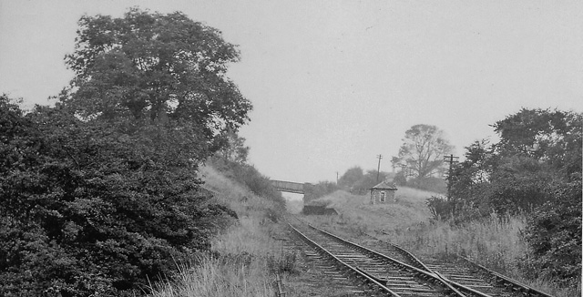
Balmore railway station
Balmore railway station was opened in 1879 on the Kelvin Valley Railway and served the coal mining area, farms and the village of Balmore in East Dunbartonshire...
Balmore
Balmore (from the Scottish Gaelic "Baile Mòr" meaning a large settlement) is a small village formerly in the county of Stirlingshire, but now lies in East...

Bardowie railway station
Bardowie railway station was opened in 1905 on the Kelvin Valley Railway, later than most of the other stations which had opened with the line itself in...
Allander Water
The Allander Water (Scottish Gaelic: Uisge Alandair) is a river in East Dunbartonshire and Stirling, Scotland, and one of the three main tributaries of...
Nearby Amenities
Located within 500m of 55.947286,-4.2594369Have you been to Blairskaith?
Leave your review of Blairskaith below (or comments, questions and feedback).