Blaenporth
Settlement in Cardiganshire
Wales
Blaenporth
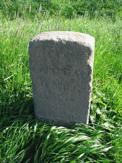
![Pen Lan Bagged high point in field and reservoir with Alex and Smudge.
Name: Pen Lan
Hill number: 15425
Height:183m / 600ft
Parent (Ma/M): 2221 Rhos Ymryson
Section:31C: South-West Wales
County/UA: Cardiganshire [Ceredigion] (CoU)
Class: Tump (100-199m)
Grid ref:SN252471 (est)
Drop: 36m
Col:147m SN245459](https://s2.geograph.org.uk/geophotos/04/66/70/4667006_8a055dbc.jpg)
The requested URL returned error: 429 Too Many Requests
If you have any feedback on the listing, please let us know in the comments section below.
Blaenporth Images
Images are sourced within 2km of 52.107974/-4.53427 or Grid Reference SN2648. Thanks to Geograph Open Source API. All images are credited.


Blaenporth is located at Grid Ref: SN2648 (Lat: 52.107974, Lng: -4.53427)
Unitary Authority: Ceredigion
Police Authority: Dyfed Powys
Also known as: Blaen-porth
What 3 Words
///redeemed.rotation.treble. Near Aberporth, Ceredigion
Nearby Locations
Related Wikis

Glaneirw
Glaneirw is an old mansion in the community of Aberporth, Ceredigion, Wales, which is 72 miles (115.8 km) from Cardiff and 192 miles (309 km) from London...
Llain-wen
Llain-wen is a hamlet in the community of Penbryn, Ceredigion, Wales, which is 71.9 miles (115.7 km) from Cardiff and 191.9 miles (308.8 km) from London...
Aberporth Airport
Aberporth Airport (ICAO: EGFA) (Welsh: Maes Awyr Aber-porth) is situated southwest of Aberporth, Ceredigion, Wales. The airport is being developed as West...
Tŷ-llwyd
Tŷ-llwyd is an old mansion and estate in the community of Beulah, Ceredigion, Wales, which is 71.4 miles (114.8 km) from Cardiff and 191.4 miles (308...
Nearby Amenities
Located within 500m of 52.107974,-4.53427Have you been to Blaenporth?
Leave your review of Blaenporth below (or comments, questions and feedback).