Blaen-plwyf

Settlement in Cardiganshire

Wales

Blaen-plwyf

Trac i Ffos-lâs The track down to the old Ffos-lâs farmhouse, its hawthorns blasted by the prevailing south-west winds off the ocean.
Trac i Ffos-lâs Credit: Mike Parker

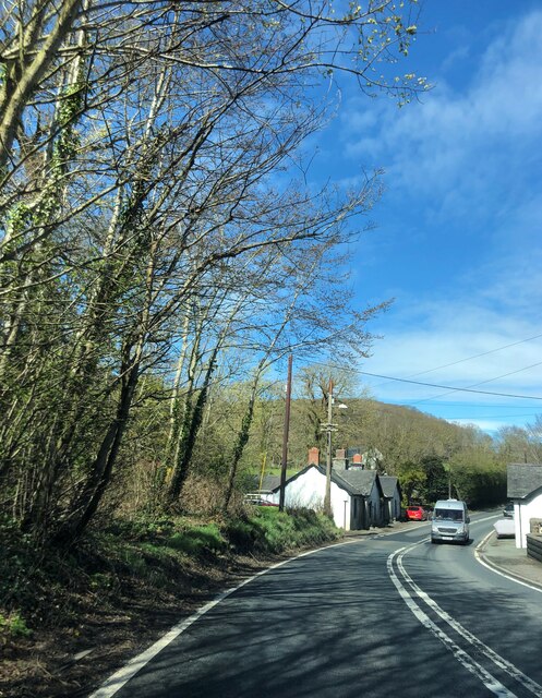
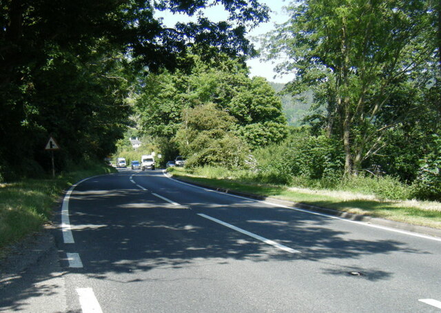
Blaen-plwyf is a small village located in the county of Cardiganshire, Wales. Situated in the picturesque countryside, it is surrounded by rolling hills and lush green fields. The village is nestled along the A487 road, providing convenient access to neighboring towns and cities.

With a population of around 300 residents, Blaen-plwyf maintains a close-knit community atmosphere. The village is primarily residential, with a few local businesses catering to the needs of its inhabitants. These include a local convenience store, a post office, and a small pub where villagers can socialize and enjoy a drink.

Blaen-plwyf boasts a rich history, dating back many centuries. The area is home to several ancient landmarks, including the ruins of a 12th-century castle, which stands as a reminder of the village's medieval past. Additionally, the village is surrounded by archaeological sites, giving evidence of early settlements and human activity in the area.

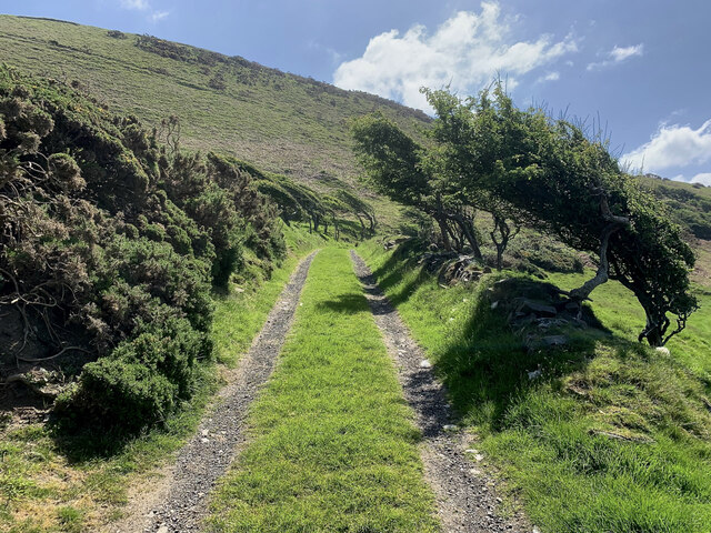
Nature enthusiasts will find plenty to explore in Blaen-plwyf. The village is located near the Cambrian Mountains, offering stunning views and endless opportunities for outdoor activities such as hiking, cycling, and birdwatching. The nearby river provides a peaceful spot for fishing or simply enjoying the tranquility of the surroundings.

Overall, Blaen-plwyf is a charming village that offers a peaceful and idyllic lifestyle for its residents. Its rich history, beautiful natural surroundings, and strong community spirit make it a truly unique place to live or visit.

If you have any feedback on the listing, please let us know in the comments section below.
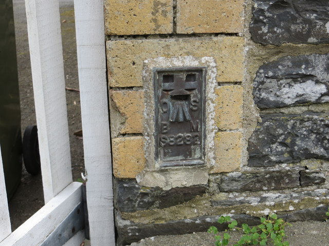
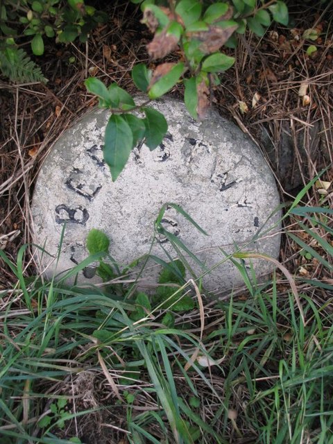
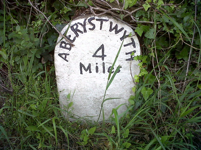
Blaen-plwyf Images

Images are sourced within 2km of 52.358263/-4.093424 or Grid Reference SN5775. Thanks to Geograph Open Source API. All images are credited.

Trac i Ffos-lâs The track down to the old Ffos-lâs farmhouse, its hawthorns blasted by the prevailing south-west winds off the ocean.
Trac i Ffos-lâs
The track down to the old Ffos-lâs farmhouse, its hawthorns blasted by the prevailing south-west winds off the ocean.
Pa ffordd nawr? Which way now? A footpath signpost on the Wales Coastal Path at Ffos-lâs.
Pa ffordd nawr?
Which way now? A footpath signpost on the Wales Coastal Path at Ffos-lâs.
Fferm Ffos-lâs For years, Ffos-lâs was an intriguing ruin along the Wales Coast Path. It's currently undergoing major restoration work. Whether the sheep sheltering from the sun in its shadow will be quite so welcome in the future is yet to be seen.
Fferm Ffos-lâs
For years, Ffos-lâs was an intriguing ruin along the Wales Coast Path. It's currently undergoing major restoration work. Whether the sheep sheltering from the sun in its shadow will be quite so welcome in the future is yet to be seen.
The A487 Heading north towards Blaenplwyf
The A487
Heading north towards Blaenplwyf
Blaenplwyf Transmitter It was originally built by the BBC, entering service in October 1956 acting as a main transmitter for BBC Band II VHF FM radio. It currently carries all six UK digital television multiplexes.
Blaenplwyf Transmitter
It was originally built by the BBC, entering service in October 1956 acting as a main transmitter for BBC Band II VHF FM radio. It currently carries all six UK digital television multiplexes.
The A487 road passing through Chancery
Mynachdy'r-graig Farm
Cliff and fish trap at Ffos-lâs
Lane leading towards Ffos-lâs
A windswept hillside at Cwm-ceirw
Field and trees near Ty'n Fron
A487 near Glan-rhos
A487 near Glan-rhos
A487 north of Brynglas Farm
The entrance to the former Conrah hotel The Conrah was sold four years ago, and this new entrance, complete with walls, ornamental lions, electronic gates and warning signs, was installed to make it quite clear that visitors are no longer welcome.
The entrance to the former Conrah hotel
The Conrah was sold four years ago, and this new entrance, complete with walls, ornamental lions, electronic gates and warning signs, was installed to make it quite clear that visitors are no longer welcome.
Ordnance Survey Flush Bracket S8282 This can be found on the wall of a former school building - now a private dwelling.
For more detail see : <span class="nowrap"><a title="http://www.bench-marks.org.uk/bm271" rel="nofollow ugc noopener" href="http://www.bench-marks.org.uk/bm271">Link</a><img style="margin-left:2px;" alt="External link" title="External link - shift click to open in new window" src="https://s1.geograph.org.uk/img/external.png" width="10" height="10"/></span>
Ordnance Survey Flush Bracket S8282
This can be found on the wall of a former school building - now a private dwelling. For more detail see : LinkExternal link
Old Milestone by the A487, Brynhaulwen, Llanfarian Parish Aberystwyth tombstone by the A487, in parish of Llanfarian (Ceredigion District), Blaenplwyf, near Brynhaulwen.

Inscription reads:-
ABERYSTWYTH
5
Miles

Grade II Listed by Cadw.
Reference Number 82506: <span class="nowrap"><a title="https://cadwpublic-api.azurewebsites.net/reports/listedbuilding/FullReport?lang=&id=82506" rel="nofollow ugc noopener" href="https://cadwpublic-api.azurewebsites.net/reports/listedbuilding/FullReport?lang=&id=82506">Link</a><img style="margin-left:2px;" alt="External link" title="External link - shift click to open in new window" src="https://s1.geograph.org.uk/img/external.png" width="10" height="10"/></span>

Surveyed

Milestone Society National ID: CRD_AYCA05
Old Milestone by the A487, Brynhaulwen, Llanfarian Parish
Aberystwyth tombstone by the A487, in parish of Llanfarian (Ceredigion District), Blaenplwyf, near Brynhaulwen. Inscription reads:- ABERYSTWYTH 5 Miles Grade II Listed by Cadw. Reference Number 82506: LinkExternal link Surveyed Milestone Society National ID: CRD_AYCA05
Chapel at Blaenplwyf beside the main road Dated 16th August 1878. Its hey day must have been before the Great War and its decline gradual since and now a headlong rush to low attendance now I assume.
Chapel at Blaenplwyf beside the main road
Dated 16th August 1878. Its hey day must have been before the Great War and its decline gradual since and now a headlong rush to low attendance now I assume.
Chancery, Milestone - Aberystwyth 4 The milestone bore an Ordnance Survey benchmark, which was used on the Warrington to Pembroke Docks line of the First Primary Levelling of England & Wales in 1851-1852.  The mark has been erased.  Description: 623. Mark on the 4th milestone from Aberystwyth ; 2.46 ft. above surface.  Page 533 of the abstract: <span class="nowrap"><a title="http://www.trigtools.co.uk/data/1GL/1GLA_533.png" rel="nofollow ugc noopener" href="http://www.trigtools.co.uk/data/1GL/1GLA_533.png">Link</a><img style="margin-left:2px;" alt="External link" title="External link - shift click to open in new window" src="https://s1.geograph.org.uk/img/external.png" width="10" height="10"/></span>  The mark has been erased.
Chancery, Milestone - Aberystwyth 4
The milestone bore an Ordnance Survey benchmark, which was used on the Warrington to Pembroke Docks line of the First Primary Levelling of England & Wales in 1851-1852. The mark has been erased. Description: 623. Mark on the 4th milestone from Aberystwyth ; 2.46 ft. above surface. Page 533 of the abstract: LinkExternal link The mark has been erased.
Show me another place!

Blaen-plwyf is located at Grid Ref: SN5775 (Lat: 52.358263, Lng: -4.093424)

Unitary Authority: Ceredigion

Police Authority: Dyfed Powys

Also known as: Blaenplwyf

What 3 Words

///tidy.recitals.coasting. Near Llanilar, Ceredigion

Related Wikis

Blaenplwyf

Blaenplwyf (Pontllanio previously) is a village in Ceredigion, to the southwest of Aberystwyth. It is noted for the Blaenplwyf transmitting station, which...

Blaenplwyf transmitting station

The Blaenplwyf transmitting station (sometimes written "Blaen Plwyf" or "Blaen-Plwyf") is a broadcasting and telecommunications facility located near the...

Chancery, Ceredigion

Chancery (Welsh: Rhydgaled) is a hamlet in Llanfarian community, in the district county of Ceredigion, Mid-Wales, south of the administrative centre Aberystwyth...

Llanfarian

Llanfarian (Welsh pronunciation: [ɬanˈvarjan]) is a village, electoral ward and community in the district county of Ceredigion, Mid-Wales, south of the...

Nearby Amenities

Located within 500m of 52.358263,-4.093424
Post Box
Post Box Type: wall
Ref: SY23 32
Royal Cypher: EIIR
Lat/Long: 52.3594672/-4.0914734
Bus Stop
Blaenplwyf
Bay: yes
Kerb: raised
Naptan AtcoCode: 5230AWD71711
Naptan NaptanCode: cejagpm
Public Transport: platform
Shelter: yes
Lat/Long: 52.3585409/-4.0928655
Shelter: yes
Lat/Long: 52.3584847/-4.093014
Siop y Parc
Addr Postcode: SY23 4DH
Fhrs Id: 863173
Shop: convenience
Source Addr Postcode: FHRS Open Data
Lat/Long: 52.3594918/-4.0915473
Blaenplwyf
Is In: Ceredigion, Wales, UK
Place: hamlet
Wikidata: Q10963324
Lat/Long: 52.3603652/-4.0912749
Defibrillator
Booth: KX100
Covered: booth
Defibrillator Location: inside old phone box outside Siop y Parc in Blaenplwyf
Disused Amenity: telephone
Emergency: defibrillator
Man Made: telephone_box
Lat/Long: 52.3595177/-4.0914027
Direction: ESE
Generator Method: photovoltaic
Generator Output Electricity: yes
Generator Solar Modules: 12
Generator Source: solar
Generator Type: solar_photovoltaic_panel
Location: roof
Power: generator
Lat/Long: 52.3592316/-4.0913558
The data included in this document is from www.openstreetmap.org. The data is made available under ODbL.

Have you been to Blaen-plwyf?

Leave your review of Blaen-plwyf below (or comments, questions and feedback).