Selsley

Settlement in Gloucestershire Stroud

England

Selsley

Woodchester village Looking directly west from the edge of Minchinhampton Common. The lower large field to the right is adjacent to the famous Woodchester Orpheus mosaic, part of possibly the biggest and most opulent Roman Villa in the UK. A replica of the mosaic is on display nearby at Prinknash Abbey. Villa May have been home to the governing family of this important area, with Cirencester only 14 miles away and Bath 27 miles.
Woodchester village Credit: Richard Haworth

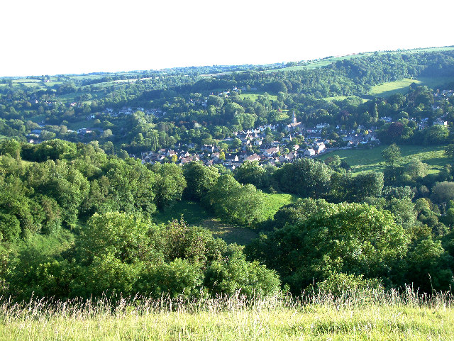
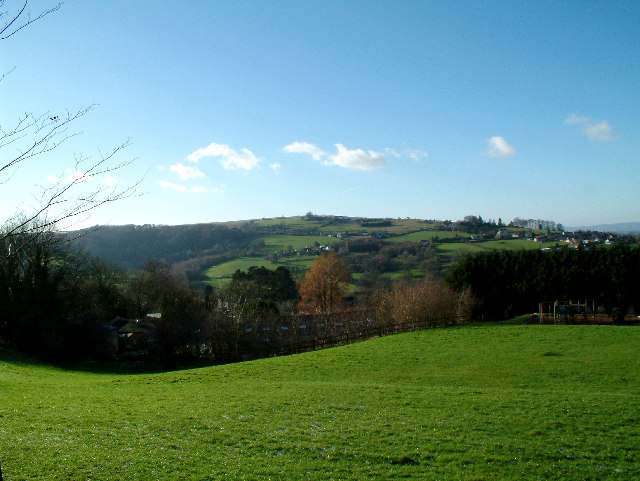
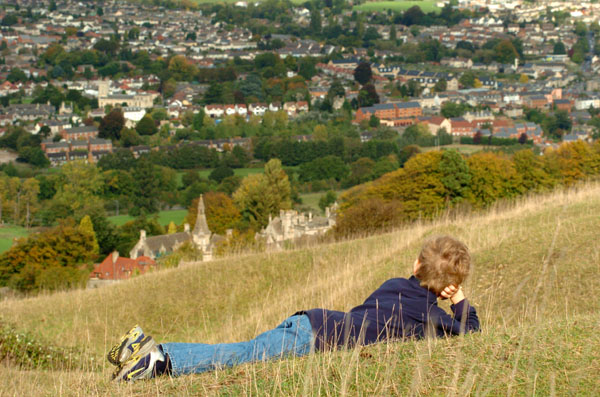
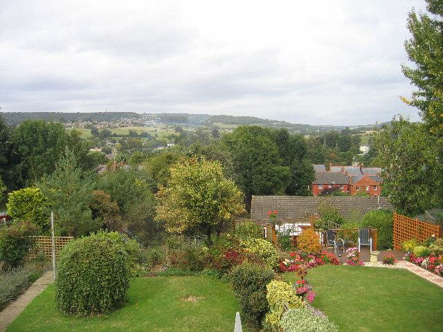
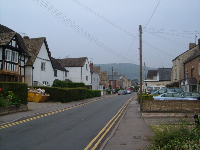
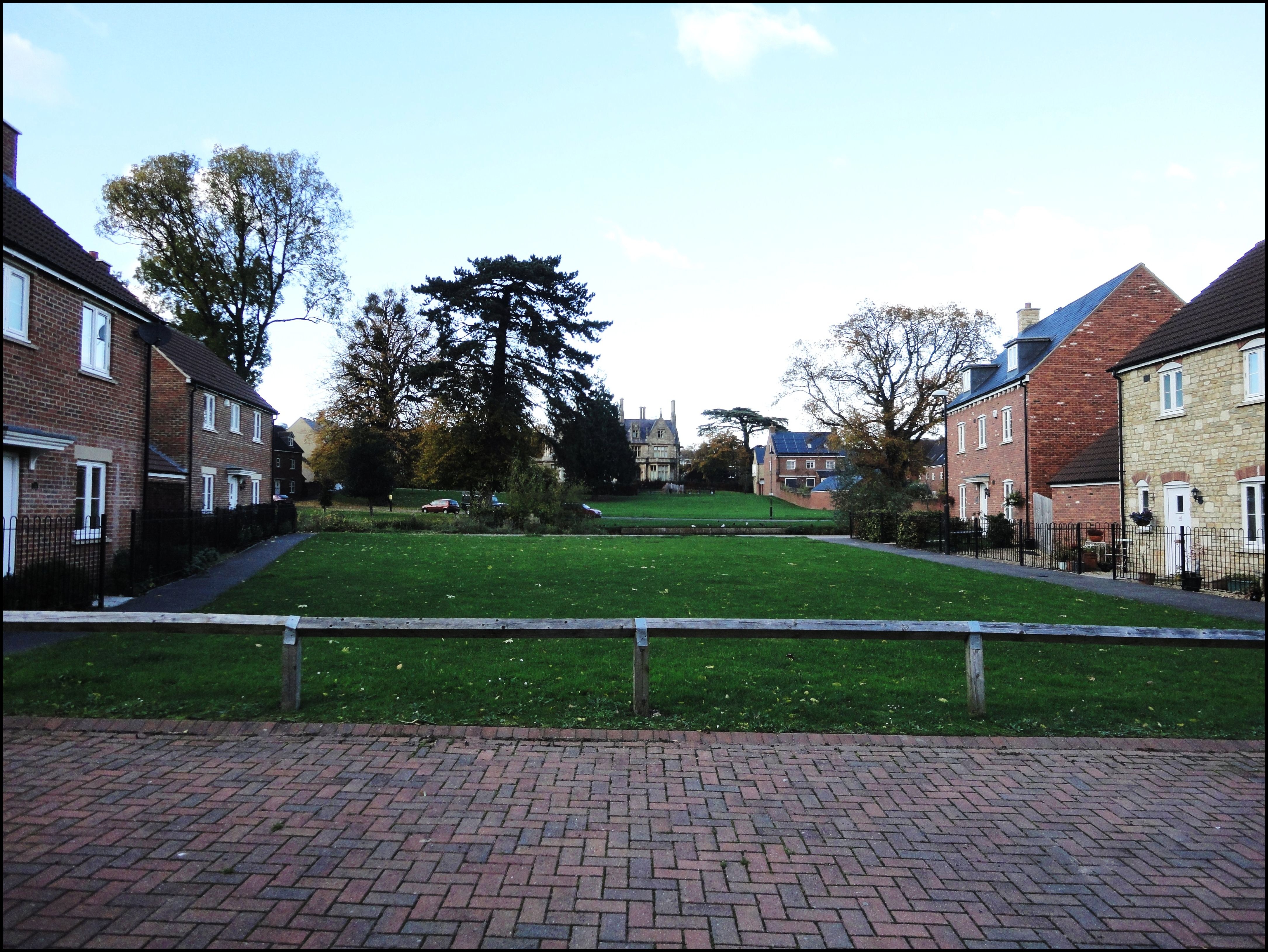
Selsley is a small village located in the Stroud district of Gloucestershire, England. Situated on the western edge of the Cotswolds, it lies approximately 2 miles south of Stroud and 10 miles west of Cirencester. The village is nestled amidst picturesque rolling hills, offering breathtaking views of the surrounding countryside.

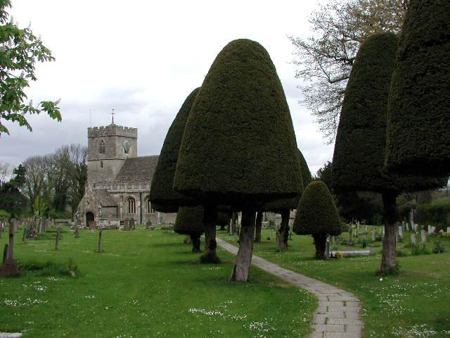
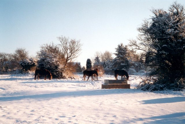
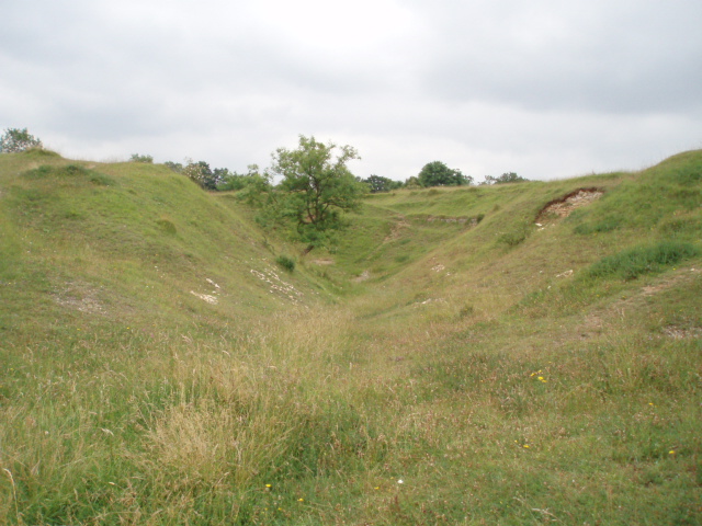
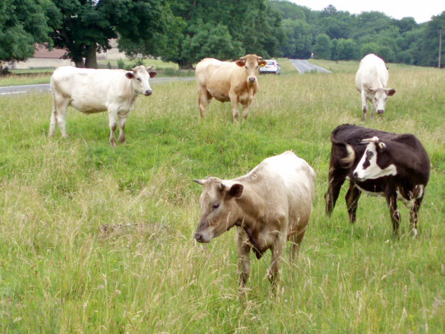
With a population of around 300, Selsley maintains a close-knit community atmosphere. The village is known for its charming stone houses and historic buildings, reflecting its rich heritage. The centerpiece of Selsley is the magnificent Selsley Common, a large open space of approximately 104 acres. This commonland is a designated Site of Special Scientific Interest, renowned for its diverse flora and fauna.

Selsley is also famous for its annual summer fete, which brings together locals and visitors alike for a day of festivities, including traditional games, stalls, and live music. Additionally, the village boasts a vibrant pub, The Bell Inn, which serves as a popular gathering spot for residents and visitors to enjoy a pint and savor hearty pub meals.

For those seeking outdoor activities, Selsley offers several walking trails, including the Cotswold Way National Trail, which passes through the village. The area is also a haven for birdwatchers, with various species of birds frequenting the common and surrounding woodland.

Overall, Selsley is a charming village that offers a tranquil escape from the hustle and bustle of city life, showcasing the idyllic beauty of the Gloucestershire countryside.

If you have any feedback on the listing, please let us know in the comments section below.
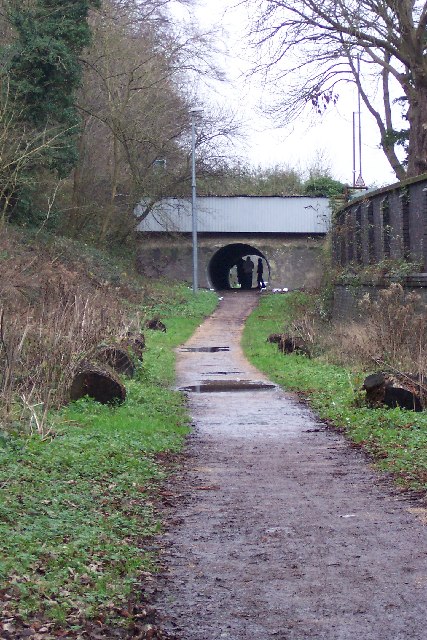
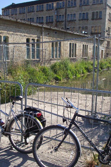
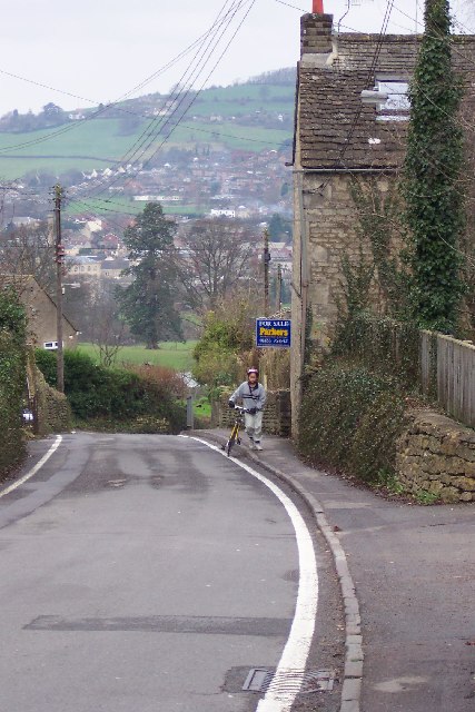
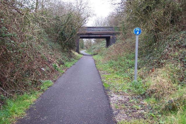
Selsley Images

Images are sourced within 2km of 51.731615/-2.248676 or Grid Reference SO8203. Thanks to Geograph Open Source API. All images are credited.

Woodchester village Looking directly west from the edge of Minchinhampton Common. The lower large field to the right is adjacent to the famous Woodchester Orpheus mosaic, part of possibly the biggest and most opulent Roman Villa in the UK. A replica of the mosaic is on display nearby at Prinknash Abbey. Villa May have been home to the governing family of this important area, with Cirencester only 14 miles away and Bath 27 miles.
Woodchester village
Looking directly west from the edge of Minchinhampton Common. The lower large field to the right is adjacent to the famous Woodchester Orpheus mosaic, part of possibly the biggest and most opulent Roman Villa in the UK. A replica of the mosaic is on display nearby at Prinknash Abbey. Villa May have been home to the governing family of this important area, with Cirencester only 14 miles away and Bath 27 miles.
Selsley Common from Rodborough Taken from somewhat undulating Gastrells School playing fields looking due west. This ridge is very popular with paragliders, hang-gliders, gliders and model gliders, can get a bit busy up there!
Selsley Common from Rodborough
Taken from somewhat undulating Gastrells School playing fields looking due west. This ridge is very popular with paragliders, hang-gliders, gliders and model gliders, can get a bit busy up there!
Rodborough Fort
Rodborough Fort
Little London Small hamlet just outside Kingscourt at the foot of Rodborough Common.
Little London
Small hamlet just outside Kingscourt at the foot of Rodborough Common.
King's Stanley (Glos) St George's Church The churchyard is exceptionally large and there is an avenue of clipped yew trees .
King's Stanley (Glos) St George's Church
The churchyard is exceptionally large and there is an avenue of clipped yew trees .
Views from Selsley Ridge View of Selsley and Caincross
Views from Selsley Ridge
View of Selsley and Caincross
Rodborough Common, near Stroud Looking south, towards the enclosed housing estate at the top of the Common.
Rodborough Common, near Stroud
Looking south, towards the enclosed housing estate at the top of the Common.
Rodborough Hill View from Rodborough Hill looking north over Beeches Green with Whiteshill in the distance.
Rodborough Hill
View from Rodborough Hill looking north over Beeches Green with Whiteshill in the distance.
Dudbridge Cycle Track Former Midland Railway line linking Nailsworth and Stonehouse now a cycle track. The bridge is where the B4066 climbs towards Selsley.
Dudbridge Cycle Track
Former Midland Railway line linking Nailsworth and Stonehouse now a cycle track. The bridge is where the B4066 climbs towards Selsley.
Ebley Mill Ebley mill is next to the Stroudwater canal. This particular bit of the mill is now a fitness club. The canal is being restored and excavated and this viewpoint will soon only be possible from a boat.
Ebley Mill
Ebley mill is next to the Stroudwater canal. This particular bit of the mill is now a fitness club. The canal is being restored and excavated and this viewpoint will soon only be possible from a boat.
Selsley The B4066 road rises through Selsley a bit too steeply for this cyclist. Randwick rises across the other side of the valley.
Selsley
The B4066 road rises through Selsley a bit too steeply for this cyclist. Randwick rises across the other side of the valley.
Dudbridge Cycle Track The railway line ran between Dudbridge and Stroud and is viewed from the Dudbridge End. Nowadays it's the best made bit of cycle track in Stroud, it's a pity the access is by a flight of stairs. The road bridge carries traffic between Dudbridge Hill and Dudbridge.
Dudbridge Cycle Track
The railway line ran between Dudbridge and Stroud and is viewed from the Dudbridge End. Nowadays it's the best made bit of cycle track in Stroud, it's a pity the access is by a flight of stairs. The road bridge carries traffic between Dudbridge Hill and Dudbridge.
Selsley.  All Saints church This church which was built in 1862, was copied from one in the Austrian Tyrol, the designer was G.F.Bodley.
Selsley. All Saints church
This church which was built in 1862, was copied from one in the Austrian Tyrol, the designer was G.F.Bodley.
Stroud Fire Station Stroud Fire Station, Paganhill Lane, Stroud, Gloucestershire is station number W07 of the Gloucestershire Fire & Rescue Service.
Stroud Fire Station
Stroud Fire Station, Paganhill Lane, Stroud, Gloucestershire is station number W07 of the Gloucestershire Fire & Rescue Service.
North Woodchester church St Mary's Church in north Woodchester was consecrated in 1863.  It replaced a previous church which was located on a different site in Woodchester, and was pulled down in the mid 1800s.
North Woodchester church
St Mary's Church in north Woodchester was consecrated in 1863. It replaced a previous church which was located on a different site in Woodchester, and was pulled down in the mid 1800s.
Uneven ground on Selsley Common The humpy, bumpy nature of the ground in this area of Selsey Common is because there was once a fairly large Cotswold stone (oolitic limestone) quarry here.  The quarry was already disused by 1888, as indicated on maps of that date.
Uneven ground on Selsley Common
The humpy, bumpy nature of the ground in this area of Selsey Common is because there was once a fairly large Cotswold stone (oolitic limestone) quarry here. The quarry was already disused by 1888, as indicated on maps of that date.
Cows on Selsley Common With so much land to roam on, these cows have chosen to find pasture perilously close to the B4066.  Cattle grids placed a strategic locations prevent the cattle from straying from the commonland.
Cows on Selsley Common
With so much land to roam on, these cows have chosen to find pasture perilously close to the B4066. Cattle grids placed a strategic locations prevent the cattle from straying from the commonland.
High Street, King's Stanley Looking up the High Street from the edge of the green opposite the King's Head.
High Street, King's Stanley
Looking up the High Street from the edge of the green opposite the King's Head.
Show me another place!

Selsley is located at Grid Ref: SO8203 (Lat: 51.731615, Lng: -2.248676)

Administrative County: Gloucestershire

District: Stroud

Police Authority: Gloucestershire

What 3 Words

///bonus.interval.scrubber. Near Stonehouse, Gloucestershire

Related Wikis

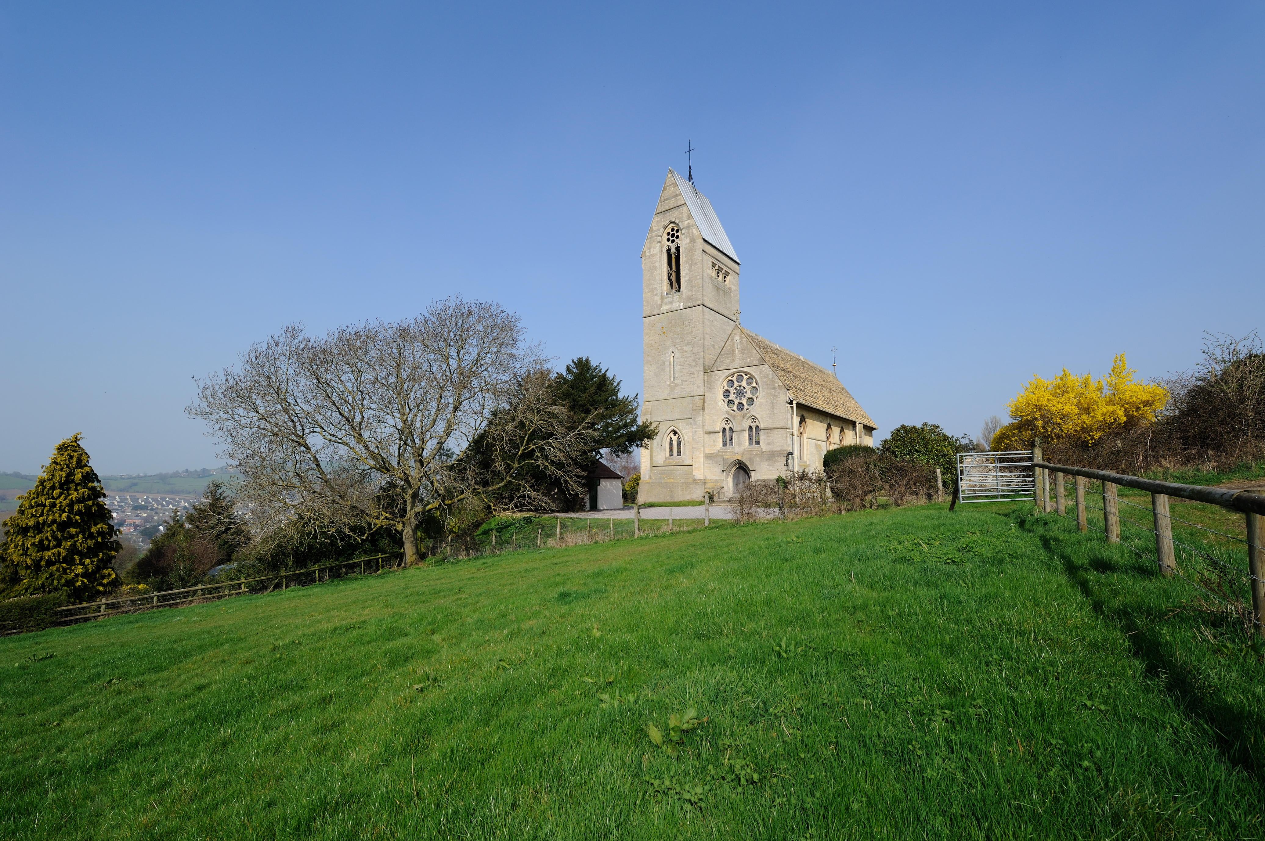
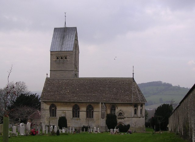
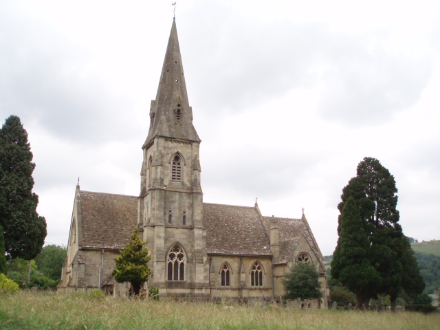
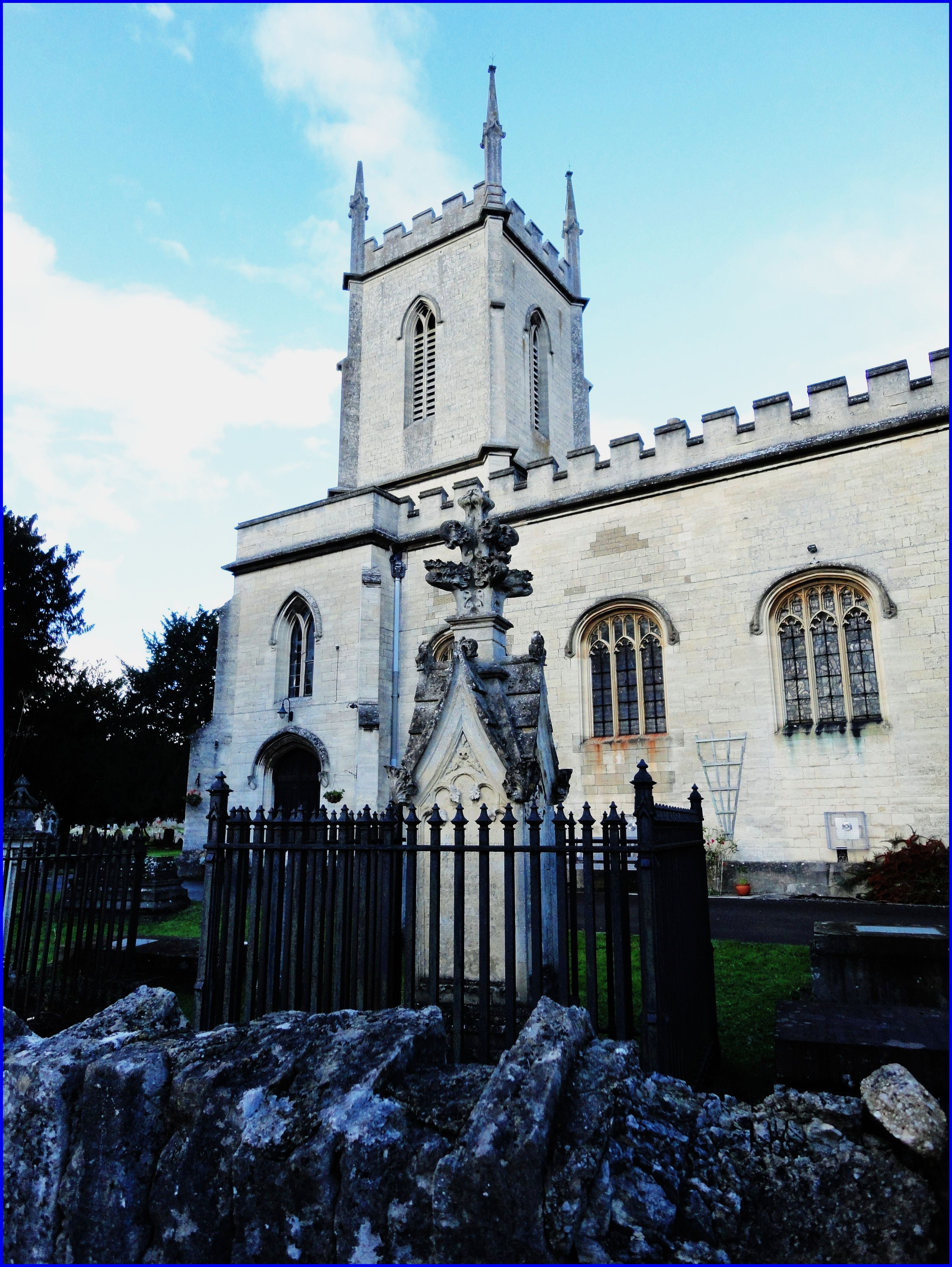
All Saints Church, Selsley

All Saints Church is the parish church for Selsley in Gloucestershire. == Background == It is a celebrated early work by the important church architect...

Selsley

Selsley is a village within the civil parish of King's Stanley and district of Stroud, in Gloucestershire, England. It is composed of around 175 houses...

Dudbridge railway station

Dudbridge railway station served the Stroud suburb of Dudbridge and the village of Selsley, little more than 1 mile (1.6 km) from Stroud, in Gloucestershire...
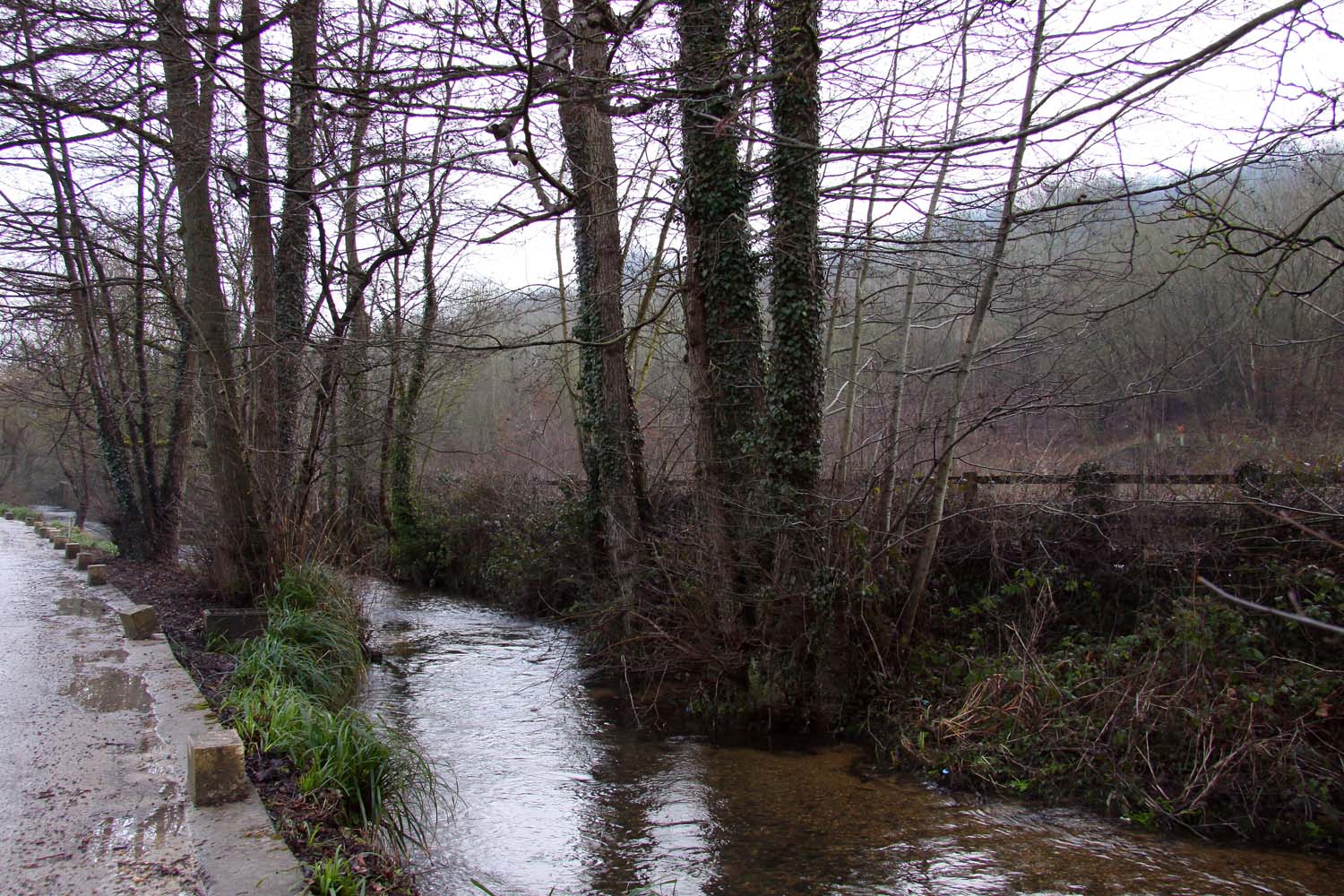
Nailsworth Stream

Nailsworth Stream is a small river in Gloucestershire, England. It is a tributary of the River Frome. From its source near Cherington, it flows westwards...

Ebley

Ebley is a community in Gloucestershire, England. It was once a village, and is now part of the Stroud urban area. It lies in the valley of the River...

Erinoid Ground

Erinoid Ground was a cricket ground in Stroud, Gloucestershire. The first recorded important match on the ground was in 1880, when Stroud played a United...

Cainscross

Cainscross is a suburban town and civil parish in Gloucestershire, England, bordering the town of Stroud and forming part of the Stroud urban area. The...

Dudbridge

Dudbridge is a suburb on the southern edge of Stroud in Gloucestershire, England. == History == Dudbridge gains its name from the first bridge in the location...

Related Videos

PART1 TRAVEL VLOG | ENTERTAINMENT VIDEO | LIKE

hdvideo #intertainmentshort #like #travelingshorts #travel #4QUALITY.

#walking in the #cotswolds Training day 2 in support of #healthcareworkers [EP:003]

Here we are training in the Cotswolds for the Cambrian Way Challenge, in support of Healthcare Workers' Foundation. We walk ...

🇬🇧 Stroud Strolls: Exploring the Heart of the Cotswolds on a Walking Adventure!

Welcome to Stroud Strolls: Exploring the Heart of the Cotswolds on a Walking Adventure!** Join us on a virtual journey through ...

Nearby Amenities

Located within 500m of 51.731615,-2.248676
Barrier: cattle_grid
Lat/Long: 51.7314559/-2.2424709
Selsley
Is In: Stroud
Place: village
Wikidata: Q7448828
Lat/Long: 51.7339482/-2.2428997
Bus Stop
Westville
Bus: yes
Naptan AtcoCode: 1600GLS335
Naptan Bearing: NE
Naptan CommonName: Westville
Naptan Indicator: Opp
Naptan NaptanCode: gloawpgj
Naptan PlusbusZoneRef: STRUD
Naptan Street: Broad St
Naptan Verified: no
Public Transport: platform
Source: naptan_import
Lat/Long: 51.7298384/-2.2504812
Bus Stop
Westville
Bus: yes
Naptan AtcoCode: 1600GLS336
Naptan Bearing: SW
Naptan CommonName: Westville
Naptan NaptanCode: gloawpgw
Naptan PlusbusZoneRef: STRUD
Naptan Street: Broad St
Naptan Verified: no
Public Transport: platform
Source: naptan_import
Lat/Long: 51.7297936/-2.2504085
Bus Stop
War Memorial
Bus: yes
Naptan AtcoCode: 1600GLS337
Naptan Bearing: NE
Naptan CommonName: War Memorial
Naptan Indicator: Opp
Naptan NaptanCode: gloawtaj
Naptan PlusbusZoneRef: STRUD
Naptan Street: Pooles Ln
Naptan Verified: no
Public Transport: platform
Source: naptan_import
Lat/Long: 51.7319921/-2.2482052
Bus Stop
War Memorial
Bus: yes
Naptan AtcoCode: 1600GLS338
Naptan Bearing: SW
Naptan CommonName: War Memorial
Naptan NaptanCode: gloawtap
Naptan PlusbusZoneRef: STRUD
Naptan Street: Pooles Ln
Naptan Verified: no
Public Transport: platform
Source: naptan_import
Lat/Long: 51.7319293/-2.2481469
Bus Stop
New Rd
Bus: yes
Naptan AtcoCode: 1600GLS340
Naptan Bearing: W
Naptan CommonName: New Rd
Naptan Indicator: Opp
Naptan NaptanCode: glodadjm
Naptan PlusbusZoneRef: STRUD
Naptan Street: Pooles Ln
Naptan Verified: no
Public Transport: platform
Source: naptan_import
Lat/Long: 51.7339999/-2.2426266
Power: pole
Lat/Long: 51.7323792/-2.2510131
Power: pole
Lat/Long: 51.7324996/-2.2520552
Power: pole
Lat/Long: 51.7332214/-2.2545952
Power: pole
Lat/Long: 51.7326159/-2.2532461
Power: pole
Lat/Long: 51.7322538/-2.249849
Bus Stop
New Rd
Bus: yes
Naptan AtcoCode: 1600GLS339
Naptan Bearing: E
Naptan CommonName: New Rd
Naptan NaptanCode: glodadja
Naptan PlusbusZoneRef: STRUD
Naptan Street: Pooles Ln
Naptan Verified: no
Public Transport: platform
Source: naptan_import
Lat/Long: 51.7340488/-2.2427393
Post Box
Brand: Royal Mail
Brand Wikidata: Q638098
Collection Times: Mo-Fr 09:00; Sa 07:00; Su off
Drive Through: no
Operator: Royal Mail
Operator Wikidata: Q638098
Post Box Mounting: wooden_post
Post Box Type: lamp
Ref: GL5 213D
Royal Cypher: EIIR
Royal Cypher Wikidata: Q33102113
Source: survey
Lat/Long: 51.730832/-2.2427201
Give Way
Direction: backward
Lat/Long: 51.7316898/-2.2485548
Bench
Backrest: yes
Material: wood
Lat/Long: 51.728092/-2.2483353
Waste Basket
Waste: dog_excrement;trash
Lat/Long: 51.7307949/-2.2427326
Addr Housename: Poachers Pocket
Addr Postcode: GL5 5LG
Addr Street: Broad Street
Lat/Long: 51.7309114/-2.249525
The data included in this document is from www.openstreetmap.org. The data is made available under ODbL.

Have you been to Selsley?

Leave your review of Selsley below (or comments, questions and feedback).