Second Drove

Settlement in Cambridgeshire East Cambridgeshire

England

Second Drove

North Fen Drove, from the railway line
North Fen Drove, from the railway line Credit: Christopher Hilton

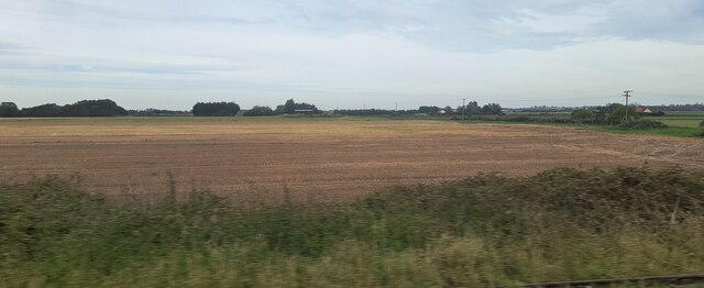
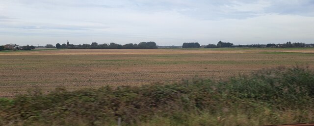
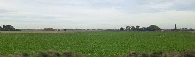
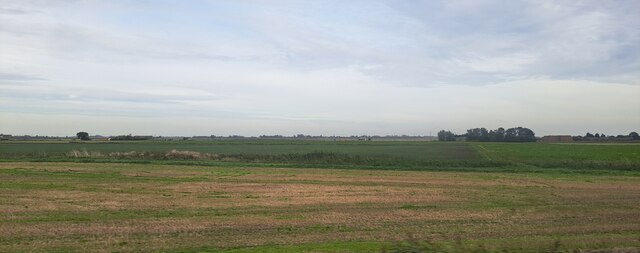
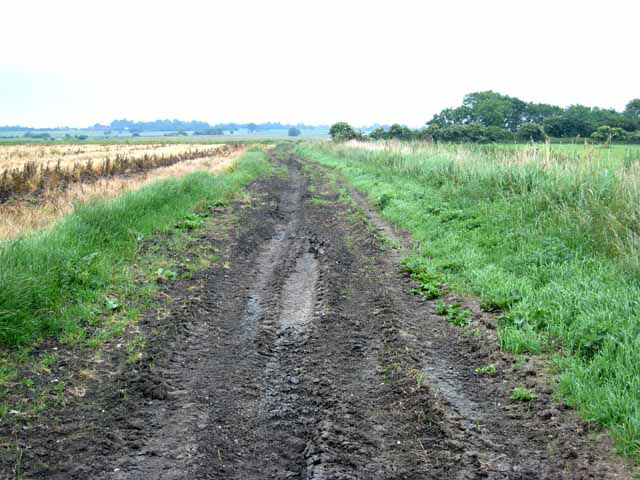
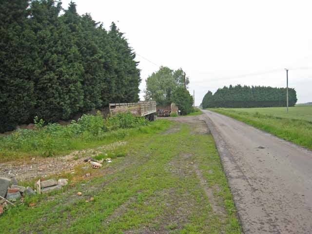
Second Drove is a small village located in the county of Cambridgeshire, England. Situated about 10 miles northwest of the city of Cambridge, Second Drove is nestled in the tranquil countryside, surrounded by picturesque landscapes and farmland.

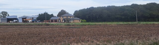
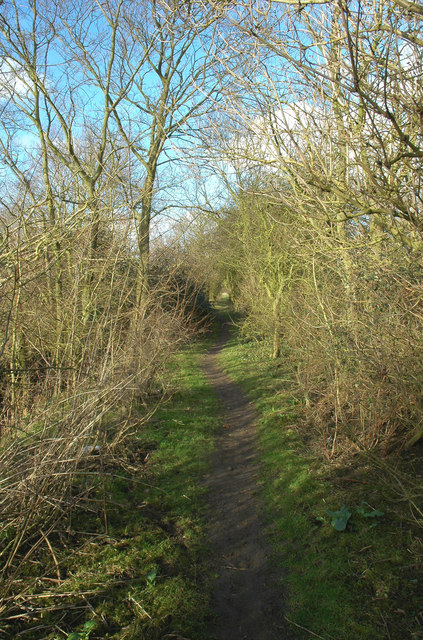
The village is characterized by its charming and idyllic setting, with traditional English cottages and farmhouses dotting the landscape. The community is tight-knit, with a population of around 500 residents who enjoy a quiet and peaceful way of life.

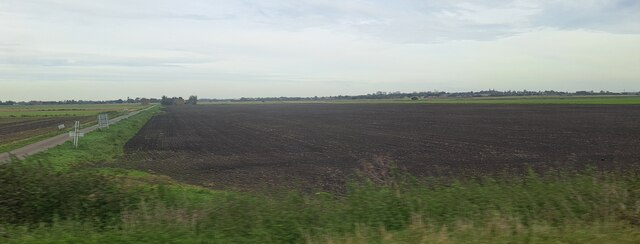
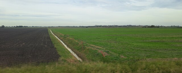
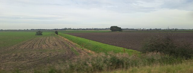
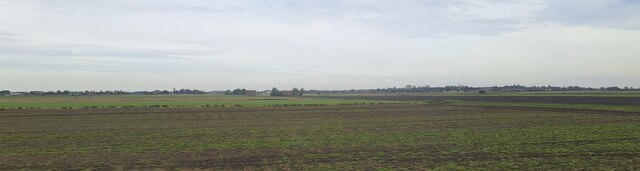
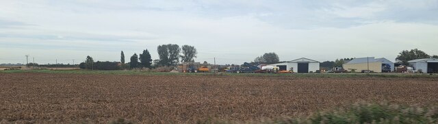
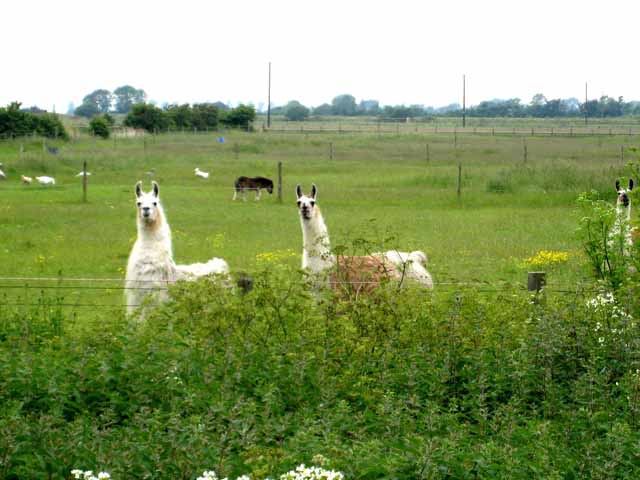
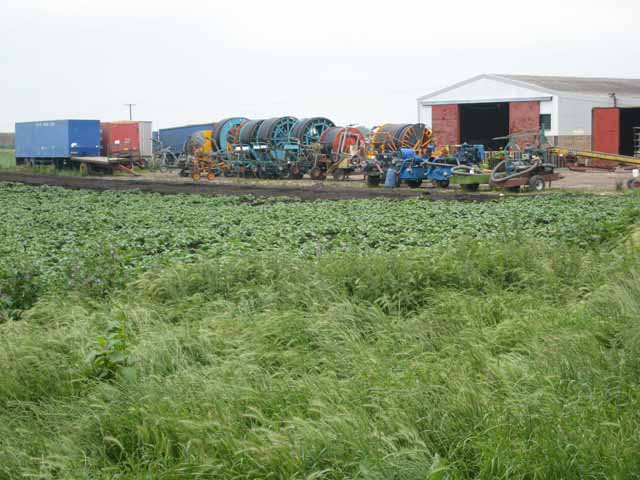
Second Drove is primarily an agricultural area, with farming being the main economic activity. The fertile soil and favorable climate make it an ideal location for cultivating crops such as wheat, barley, and rapeseed. Livestock farming, particularly the rearing of sheep and cattle, is also prevalent in the area.

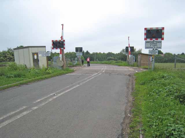
Despite its rural character, Second Drove is well connected to neighboring towns and cities. The A14 road, a major transportation artery, runs nearby, providing easy access to Cambridge and other important destinations. The village also benefits from reliable public transportation links, with regular bus services connecting it to surrounding areas.

In terms of amenities, Second Drove has a small primary school, serving the educational needs of local children. There are also a few shops and services catering to the basic needs of the residents. For more extensive shopping and leisure activities, residents often visit nearby towns and cities.

Overall, Second Drove offers a serene and picturesque setting, appealing to those seeking a peaceful countryside lifestyle within easy reach of urban amenities.

If you have any feedback on the listing, please let us know in the comments section below.

Second Drove Images

Images are sourced within 2km of 52.450536/0.25000421 or Grid Reference TL5386. Thanks to Geograph Open Source API. All images are credited.

North Fen Drove, from the railway line
Ditch in North Fen, from the railway
Ditch in Wood Fen, from the railway
Beild Drove and Wood Fen, from the railway
North Fen, from the railway line North Fen Drove can just been seen running from the right of the picture towards the central distance.
North Fen, from the railway line
North Fen Drove can just been seen running from the right of the picture towards the central distance.
View towards Ypres House, from the railway The barns in the centre mark the location of Ypres House.  Black Bank Road runs past the house on the right.
View towards Ypres House, from the railway
The barns in the centre mark the location of Ypres House. Black Bank Road runs past the house on the right.
View from the railway, east of Second Drove The house on the extreme left is on Second Drove; that on the right lies on Black Bank Road.
View from the railway, east of Second Drove
The house on the extreme left is on Second Drove; that on the right lies on Black Bank Road.
Laurel Farm, Main Drove, from the railway
Looking towards Main Drove from the railway Willow Farm is on the right, while Quaker Farm is hidden behind the trees to the left.
Looking towards Main Drove from the railway
Willow Farm is on the right, while Quaker Farm is hidden behind the trees to the left.
View across the fields to Main Drove, from the railway On the right lies Quaker Farm, with a public footpath leading across the fields towards it.
View across the fields to Main Drove, from the railway
On the right lies Quaker Farm, with a public footpath leading across the fields towards it.
Little Downham, St Leonard <span class="nowrap"><a title="http://www.druidic.org/camchurch/churches/ltdownham.htm" rel="nofollow ugc noopener" href="http://www.druidic.org/camchurch/churches/ltdownham.htm">Link</a><img style="margin-left:2px;" alt="External link" title="External link - shift click to open in new window" src="https://s1.geograph.org.uk/img/external.png" width="10" height="10"/></span>
Little Downham, St Leonard
Hereward Way Hereward Way footpath near Little Downham, Cambridgeshire.
Hereward Way
Hereward Way footpath near Little Downham, Cambridgeshire.
Muddy track off Furlong Drove Because of drainage problems, and the heavy farm machinery used in the area, tracks in the Fens are often deeply rutted.
Muddy track off Furlong Drove
Because of drainage problems, and the heavy farm machinery used in the area, tracks in the Fens are often deeply rutted.
Llamas at Dunkirk, Pymore It is not that unusual to graze a llama with a flock of sheep - they are sociable animals and are a very good deterrent against predators. But the sight of three llamas in one field is unusual.
Llamas at Dunkirk, Pymore
It is not that unusual to graze a llama with a flock of sheep - they are sociable animals and are a very good deterrent against predators. But the sight of three llamas in one field is unusual.
Field irrigation equipment Heavy duty equipment for irrigating the fields. Seen at a farm on Main Drove, near Pymore.
Field irrigation equipment
Heavy duty equipment for irrigating the fields. Seen at a farm on Main Drove, near Pymore.
Level crossing on Main Drove On the Ely to Peterborough line.
Level crossing on Main Drove
On the Ely to Peterborough line.
Main Drove, Fodder Fen It is common to surround farmsteads in the area with windbreaks of Cupressus.
Main Drove, Fodder Fen
It is common to surround farmsteads in the area with windbreaks of Cupressus.
Show me another place!

Second Drove is located at Grid Ref: TL5386 (Lat: 52.450536, Lng: 0.25000421)

Division: Isle of Ely

Administrative County: Cambridgeshire

District: East Cambridgeshire

Police Authority: Cambridgeshire

What 3 Words

///lakeside.resists.retained. Near Littleport, Cambridgeshire

Nearby Locations

Fodder Fen Second Drove

Related Wikis

Black Bank railway station

Black Bank railway station was a railway station in Black Bank, Cambridgeshire which is now closed. The station platforms have been demolished but the...

Little Downham

Situated in the east of Cambridgeshire, the village of Little Downham is located just 3 miles (5 km) north of the city of Ely. The Parish of Downham comprises...

Little Downham Local Nature Reserve

Little Downham Local Nature Reserve is a 6.6 hectare Local Nature Reserve in Little Downham in Cambridgeshire. It is owned by Little Downham Parish Council...

Chettisham Meadow

Chettisham Meadow is a 0.7-hectare (1.7-acre) biological Site of Special Scientific Interest west of Chettisham, 3 km (2 mi) north of Ely in Cambridgeshire...

Chettisham railway station

Chettisham railway station is a former railway station in Chettisham, Cambridgeshire. It was on the Great Eastern Railway route between Ely and March....

North West Cambridgeshire (UK Parliament constituency)

North West Cambridgeshire is a county constituency represented in the House of Commons of the Parliament of the United Kingdom since 2005 by Shailesh Vara...

Pymoor

Pymoor is a village in Cambridgeshire in the vicinity of Ely and in the parish of Little Downham. There are approximately 390 residents according to the...

Chettisham

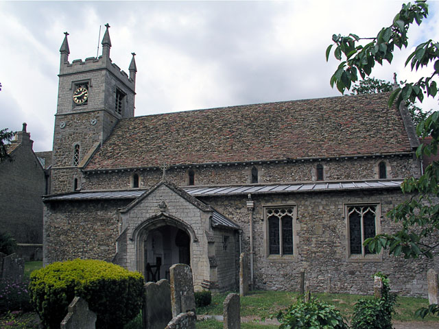
Chettisham is a pretty hamlet in East Cambridgeshire between Ely and Littleport. The main claim to fame is the attractive St. Michael church. There are...

Nearby Amenities

Located within 500m of 52.450536,0.25000421
Bus Stop
Gravel Head Bridge
Naptan AtcoCode: 0500ELITD010
Naptan Bearing: S
Naptan BusStopType: CUS
Naptan CommonName: Gravel Head Bridge
Naptan Indicator: opp
Naptan Landmark: Gravel Head Bridge
Naptan NaptanCode: cmbdgwtj
Naptan ShortCommonName: Gravel Head Bridge
Naptan Street: Main Drove
Source: naptan_import
Lat/Long: 52.450462/0.2428232
Bus Stop
Stone Level Crossing
Naptan AtcoCode: 0500ELITD013
Naptan Bearing: SW
Naptan CommonName: Stone Level Crossing
Naptan Indicator: near
Naptan Landmark: Stone Level Crossing
Naptan NaptanCode: cmbdgwtw
Naptan ShortCommonName: Second Drove
Naptan Street: Second Drove
Naptan Verified: no
Source: naptan_import
Lat/Long: 52.4474545/0.2449367
Bus Stop
Gravel Head Bridge
Naptan AtcoCode: 0500ELITD015
Naptan Bearing: NE
Naptan CommonName: Gravel Head Bridge
Naptan Indicator: near
Naptan Landmark: Gravel Head Bridge
Naptan NaptanCode: cmbdjadg
Naptan ShortCommonName: Gravel Head Bridge
Naptan Street: Main Drove
Shelter: yes
Source: naptan_import;survey
Lat/Long: 52.4504996/0.2427368
Main Drove
Naptan AtcoCode: 0500ELITD027
Naptan Bearing: SE
Naptan BusStopType: CUS
Naptan CommonName: Main Drove
Naptan Crossing: Main Drove
Naptan Indicator: near
Naptan Landmark: Main Drove
Naptan NaptanCode: cmbgjmdw
Naptan ShortCommonName: Gravel Head Bridge
Naptan Street: Downham Common
Naptan Verified: no
Source: naptan_import
Lat/Long: 52.4501832/0.2428238
Main Drove
Naptan AtcoCode: 0500ELITD028
Naptan Bearing: NW
Naptan BusStopType: CUS
Naptan CommonName: Main Drove
Naptan Crossing: Main Drove
Naptan Indicator: opp
Naptan Landmark: Main Drove
Naptan NaptanCode: cmbgjmga
Naptan ShortCommonName: Gravel Head Bridge
Naptan Street: Downham Common
Naptan Verified: no
Source: naptan_import
Lat/Long: 52.4501307/0.2427475
Railway: level_crossing
Lat/Long: 52.4489004/0.2473311
Railway: level_crossing
Lat/Long: 52.4514601/0.2436349
Old Ref: CB6 91
Removed Amenity: post_box
Lat/Long: 52.4504494/0.2426882
Old Phone: +44 1353 699211
Removed Amenity: telephone
Lat/Long: 52.4504705/0.2427087
Power: pole
Lat/Long: 52.4502255/0.2449782
Power: pole
Lat/Long: 52.4507207/0.2430483
Power: pole
Lat/Long: 52.4504102/0.2444364
Power: pole
Lat/Long: 52.4502802/0.245001
Power: pole
Lat/Long: 52.4495102/0.2442808
Power: pole
Lat/Long: 52.4488858/0.2436465
Power: pole
Lat/Long: 52.4508801/0.250808
Power: pole
Lat/Long: 52.4496181/0.2483189
Power: pole
Lat/Long: 52.4518494/0.2524629
Power: pole
Lat/Long: 52.4504289/0.2471172
Power: pole
Lat/Long: 52.4503128/0.2454435
Power: pole
Lat/Long: 52.4506725/0.250132
Power: pole
Lat/Long: 52.4513722/0.2516314
Power: pole
Lat/Long: 52.4501412/0.2492335
Railway: level_crossing
Lat/Long: 52.4488793/0.2472932
Railway: level_crossing
Lat/Long: 52.4514236/0.2436118
Building: yes
Lat/Long: 52.4486139/0.2461989
Building: yes
Lat/Long: 52.4502355/0.2567453
The data included in this document is from www.openstreetmap.org. The data is made available under ODbL.

Have you been to Second Drove?

Leave your review of Second Drove below (or comments, questions and feedback).