Blaenborthyn

Settlement in Cardiganshire

Wales

Blaenborthyn

Afon Teifi from Pont Llanfihangel Looking downstream from the bridge which carries the B4459.
Afon Teifi from Pont Llanfihangel Credit: Stuart Logan

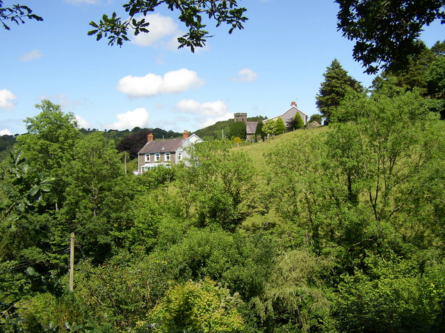
Blaenborthyn is a small village located in the county of Cardiganshire, Wales. Situated in the picturesque countryside, it is surrounded by rolling hills and lush green landscapes. The village is positioned approximately 5 miles northwest of the town of Aberystwyth, making it easily accessible for both residents and visitors.

The village itself is relatively small, with a population of around 300 residents. The community is tightly knit, with a strong sense of camaraderie and a friendly atmosphere. The architecture of the village reflects its rich history, with many traditional stone cottages and buildings still standing.

Blaenborthyn is known for its stunning natural beauty. The nearby countryside offers numerous walking and hiking trails, providing breathtaking views of the surrounding area. The village is also close to the coast, allowing residents and tourists to enjoy the sandy beaches and engage in various water activities.

Despite its rural location, Blaenborthyn offers a range of amenities for its residents. There is a local primary school, a small village shop, and a community center that hosts various events and activities throughout the year. For further amenities and services, residents often travel to Aberystwyth.

Overall, Blaenborthyn is a charming and idyllic village in Cardiganshire, known for its natural beauty, strong community spirit, and peaceful way of life.

If you have any feedback on the listing, please let us know in the comments section below.
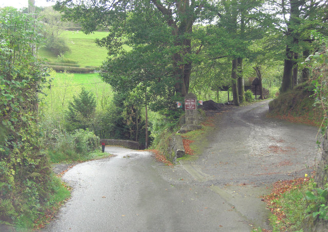
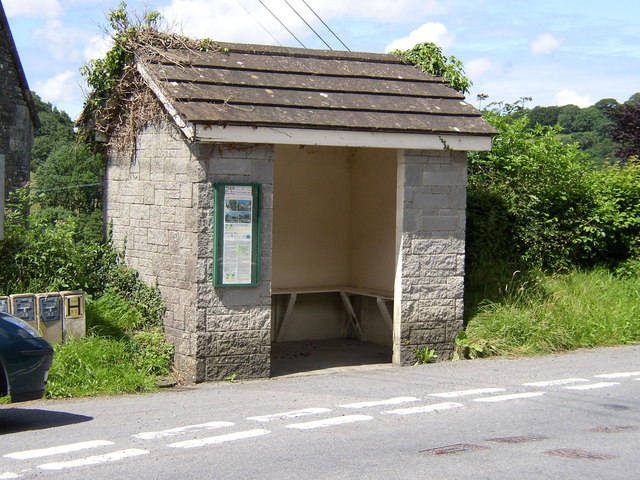
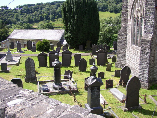
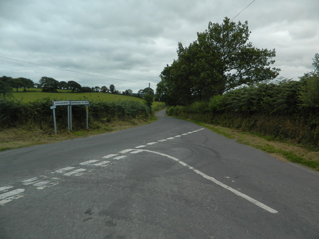
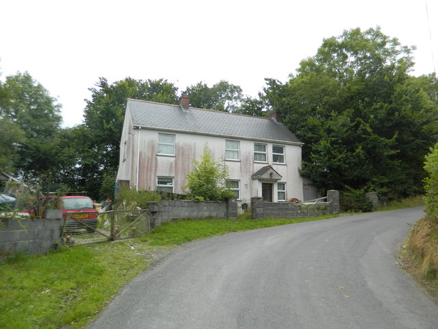
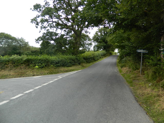
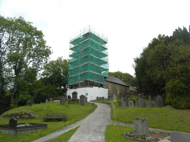
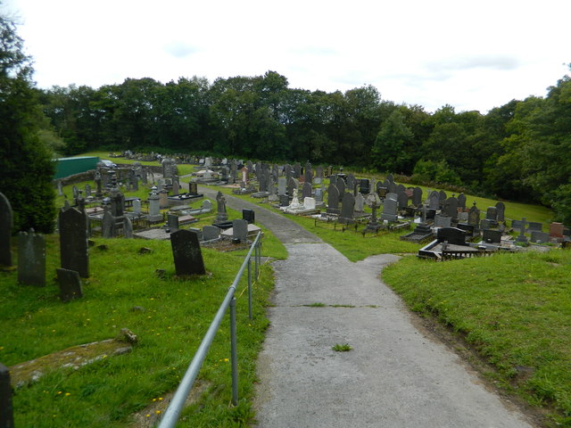
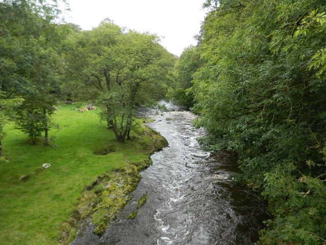
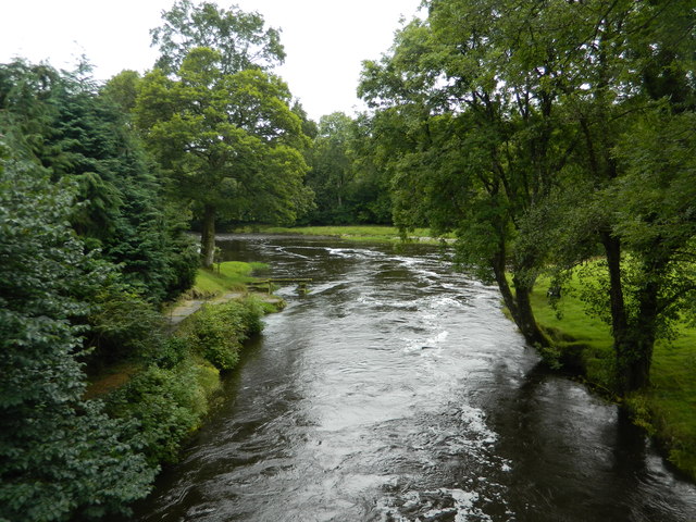
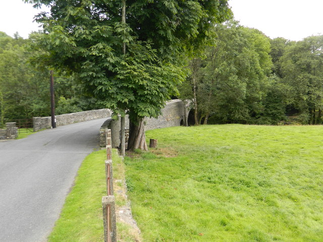
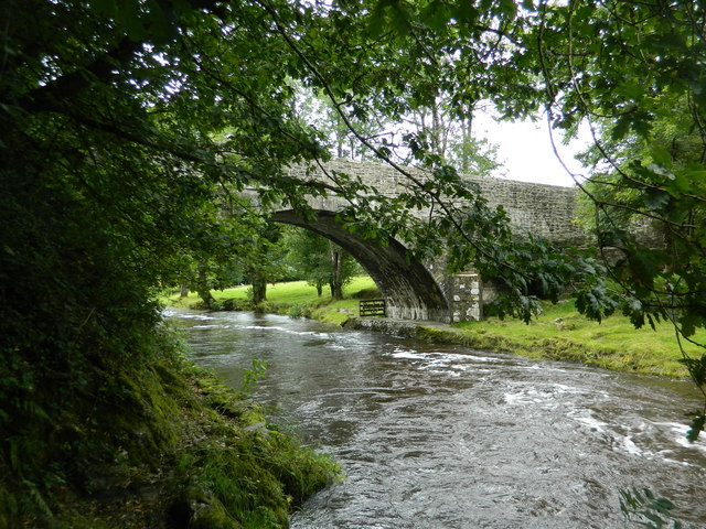
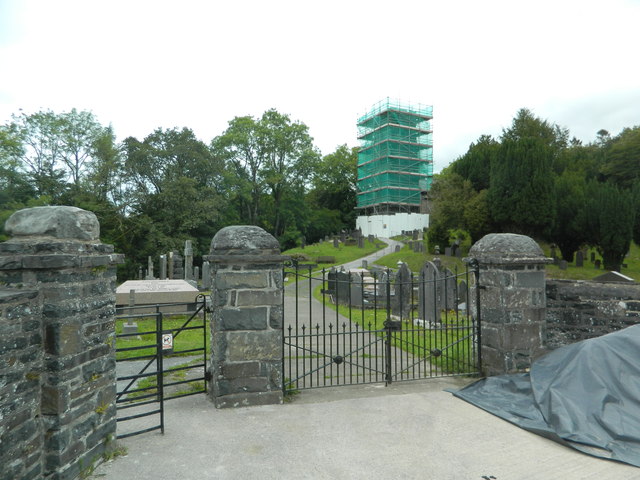
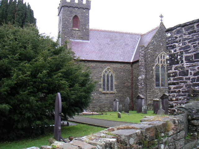
Blaenborthyn Images

Images are sourced within 2km of 52.052646/-4.242614 or Grid Reference SN4641. Thanks to Geograph Open Source API. All images are credited.

Afon Teifi from Pont Llanfihangel Looking downstream from the bridge which carries the B4459.
Afon Teifi from Pont Llanfihangel
Looking downstream from the bridge which carries the B4459.
B4459 north of Dolbantau
Pasture in the Afon Clettwr valley Although the little river is not directly visible it's running between the double row of trees in the centre right of the picture.
Pasture in the Afon Clettwr valley
Although the little river is not directly visible it's running between the double row of trees in the centre right of the picture.
Entrance to Rock Mill On the brown sign it states 'Melin Wlan', Rock Mill, Woollen Mill. Interesting because this is the last remaining, water-powered, commercial Woollen Mill still working in Wales. The Mill was built in the 1890s by the great grandfather of the present owner and operator, Mr Donald Morgan. See: <span class="nowrap"><a title="http://www.welshmills.org.uk/rockcd.m0.html" rel="nofollow ugc noopener" href="http://www.welshmills.org.uk/rockcd.m0.html">Link</a><img style="margin-left:2px;" alt="External link" title="External link - shift click to open in new window" src="https://s1.geograph.org.uk/img/external.png" width="10" height="10"/></span>
Entrance to Rock Mill
On the brown sign it states 'Melin Wlan', Rock Mill, Woollen Mill. Interesting because this is the last remaining, water-powered, commercial Woollen Mill still working in Wales. The Mill was built in the 1890s by the great grandfather of the present owner and operator, Mr Donald Morgan. See: LinkExternal link
The substantial bus shelter at Capel Dewi Very useful if waiting for the infrequent bus in the rain!
The substantial bus shelter at Capel Dewi
Very useful if waiting for the infrequent bus in the rain!
The graveyard at Capel Dewi Unlike some, this is very well maintained.
The graveyard at Capel Dewi
Unlike some, this is very well maintained.
Capel Dewi taken from Rock Mill A particularly attractive piece of countryside.  The Afon Clettwr, a tributary of the Teifi, runs through the trees at the bottom of the picture.
Capel Dewi taken from Rock Mill
A particularly attractive piece of countryside. The Afon Clettwr, a tributary of the Teifi, runs through the trees at the bottom of the picture.
Site of former Maesycrugiau station, 2004 View southward near the village, towards Carmarthen on the track-bed of the ex-GWR Carmarthen - Aberystwyth line. The station was closed to passengers when the through service ceased 22/2/65, but goods continued until 9/9/65 and the line remained in place until 3/9/73 for the milk traffic all the way Carmarthen - Lampeter and onto the Aberayron branch as far as Felin Fach.
Site of former Maesycrugiau station, 2004
View southward near the village, towards Carmarthen on the track-bed of the ex-GWR Carmarthen - Aberystwyth line. The station was closed to passengers when the through service ceased 22/2/65, but goods continued until 9/9/65 and the line remained in place until 3/9/73 for the milk traffic all the way Carmarthen - Lampeter and onto the Aberayron branch as far as Felin Fach.
Road junction at Allt-fechan
Pant-yr-emen,  Cwm College
Pant-yr-emen, Cwm College
At the turn-off for Maesycrugiau
Eglwys Sant Luc, Maesycrugiau, Llanllwni Apparently being repaired.
Eglwys Sant Luc, Maesycrugiau, Llanllwni
Apparently being repaired.
Graveyard, Maesycrugiau
The River Teifi at Maesycrugiau
Road bridge over the Teifi at Maesycrugiau
The Teifi flowing under the bridge at Maesycrugiau
Eglwys Sant Luc, Maesycrugiau, Llanllwni
Show me another place!

Blaenborthyn is located at Grid Ref: SN4641 (Lat: 52.052646, Lng: -4.242614)

Unitary Authority: Ceredigion

Police Authority: Dyfed Powys

What 3 Words

///exposes.ramps.salon. Near Llandysul, Ceredigion

Nearby Locations

Blaenborthyn

Related Wikis

Blaenborthyn

Blaenborthyn is a small village in the community of Llandysul, Ceredigion, Wales, which is 60.4 miles (97.2 km) from Cardiff and 179.9 miles (289.5 km...

Waunifor

Waunifor or Waun Ifor (Welsh: "Ifor's Meadow") is a historic estate, once the seat of the Lloyd and Bowen families, located in the small village community...

Capel Dewi, Llandysul

Capel Dewi is a small village in the county of Ceredigion, Wales. The village lies in the Clettwr Valley mostly on the eastern bank of the River Clettwr...

Rock Mill Llandysul

Rock Mill Llandysul (Welsh: Melin Wlân), in Capel Dewi, Llandysul, Ceredigion, is the last woollen mill in Wales to be powered by a water wheel. ��2�...

Nearby Amenities

Located within 500m of 52.052646,-4.242614
Power: pole
Lat/Long: 52.050719/-4.243893
Power: pole
Lat/Long: 52.0500163/-4.2438796
Power: pole
Lat/Long: 52.049345/-4.2438689
Power: pole
Lat/Long: 52.0486769/-4.2438528
Direction: 125
Generator Method: photovoltaic
Generator Output Electricity: yes
Generator Solar Modules: 6
Generator Source: solar
Generator Type: solar_photovoltaic_panel
Location: roof
Power: generator
Lat/Long: 52.0505328/-4.2485292
The data included in this document is from www.openstreetmap.org. The data is made available under ODbL.

Have you been to Blaenborthyn?

Leave your review of Blaenborthyn below (or comments, questions and feedback).